Plizio Visual Lab
Turkwel River

Weather…
Water temperature…
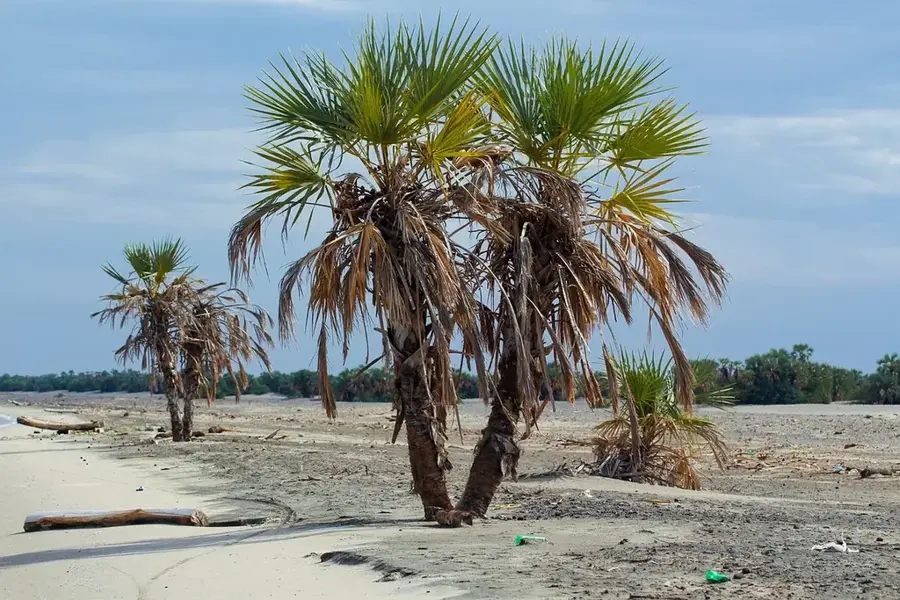
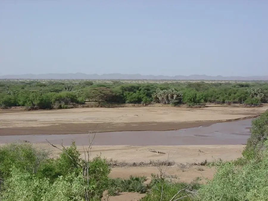
The Turkwel River is a vital waterway in northwestern Kenya, originating from the slopes of Mount Elgon near the Ugandan border. It flows through the arid plains of the Turkana County before eventually draining into Lake Turkana, the world's largest permanent desert lake. The river is harnessed by the Turkwel Dam, constructed in a deep gorge during the late 1980s; standing at 153 meters, it is one of Kenya's tallest dams. This massive engineering feat serves a dual purpose: generating hydroelectric power for the national grid and facilitating large-scale irrigation schemes that are crucial for food security in this desert region. The river's path is lined with lush riverine forests, creating a biological corridor that supports local wildlife and livestock. Despite the seasonal fluctuations in water volume, the Turkwel remains the lifeblood of the surrounding communities, enabling life to flourish in one of the harshest environments on Earth.
- Location: Kenya
- Nearby: Lodwar (36 km)
Best time to visit & climate
The most pleasant time to visit is Jun–Aug.
| Jan | Feb | Mar | Apr | May | Jun | Jul | Aug | Sep | Oct | Nov | Dec | |
|---|---|---|---|---|---|---|---|---|---|---|---|---|
| Avg °C | 29 | 31 | 31 | 30 | 29 | 29 | 28 | 29 | 30 | 30 | 29 | 29 |
| Rain mm | 13 | 8 | 39 | 77 | 54 | 17 | 19 | 24 | 13 | 32 | 42 | 64 |
📋 Practical info
Geography
Facts
- An incredibly incredibly massive, highly critical seasonal river originating deep in the incredibly lush Mount Elgon massif.
- Fiercely fiercely aggressively carves a deeply winding path directly down into the hyper-arid Turkana desert basin.
- Heavily heavily dammed at the incredibly massive, deeply breathtaking Turkwel Gorge by a highly controversial hydroelectric facility.
- The incredibly incredibly massive, deeply contested Turkwel Gorge Dam fiercely generates absolute incredibly crucial national hydroelectric power.
- Before emptying into Lake Turkana, it incredibly completely supports an absolute incredibly massive, deeply highly lush riverine corridor of massive doum palms.
- The deeply deeply incredibly vital riverine corridor fiercely fiercely intensely supports incredibly massive, fiercely resilient nomadic pastoralist communities.
- The incredibly incredibly highly complex, deeply fragile river system is fiercely fiercely heavily heavily impacted by intensely massive upstream extraction.
Explore nearby
Notable places around
Route planner — Car & Motorhome
Where do you start? We build the route here, with stops and country notes along the way.
© OpenStreetMap contributors · OpenRouteService
Sights nearby
Frequently asked questions
Where does the Turkwel River originate?
What is the Turkwel Dam?
Is the river permanent in its lower reaches?
What trees line the river?
Can gold be found in the river?
Turkwel River: where is it located?
Turkwel River: when is the best time to visit?
Turkwel River: why is it worth visiting?

History & landmarks


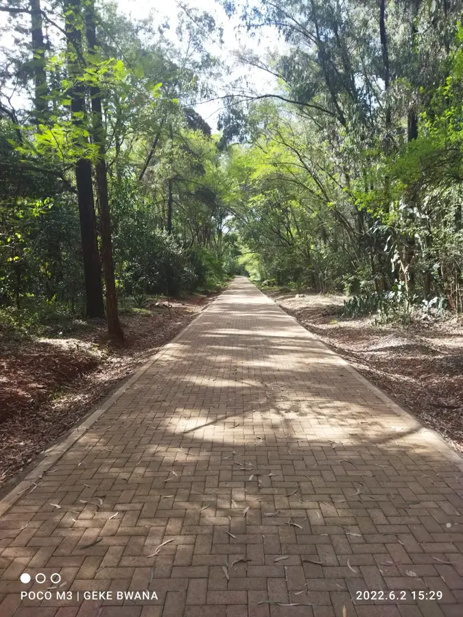


Nature

More places