Plizio Visual Lab
Great Rift Valley
Weather…
Water temperature…
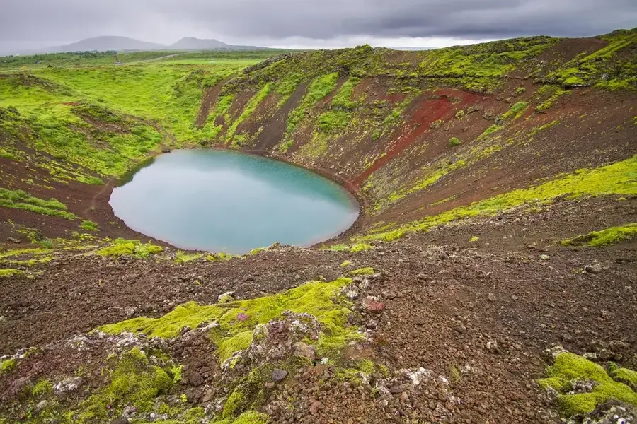
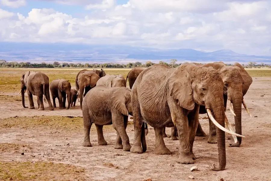
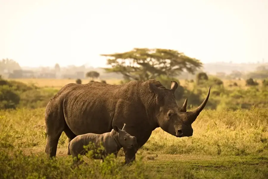
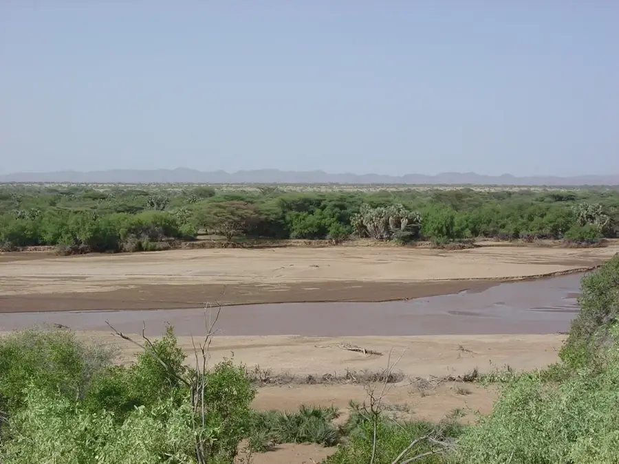
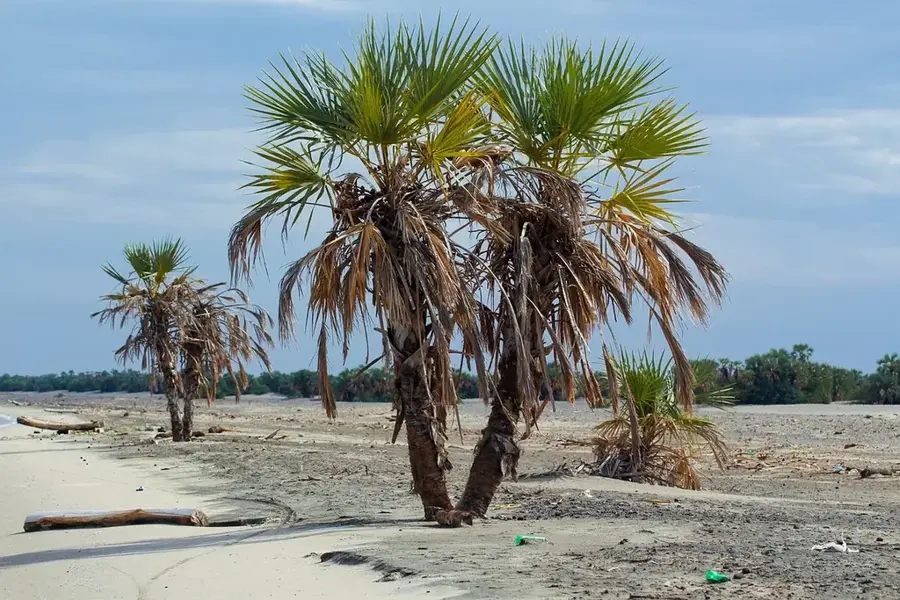
The Great Rift Valley in Kenya is a striking segment of the African rift system, stretching thousands of kilometers from Jordan to Mozambique. In Kenya, it forms a monumental depression that bisects the country from north to south, characterized by steep escarpments and vast plains. Geologically, the rift was created by the pulling apart of tectonic plates approximately 20 to 30 million years ago. The valley hosts a chain of lakes, including the saline Lake Turkana, the alkaline Lake Nakuru, and the freshwater Lake Naivasha. These bodies of water are world-famous for their immense biodiversity, particularly the vast colonies of flamingos. The region is also volcanically active, as evidenced by numerous extinct and dormant volcanoes such as Mount Longonot and Suswa. Anthropologically, the Rift Valley is of inestimable value, as some of the world's oldest hominid fossils were discovered here, earning it the nickname 'Cradle of Mankind.' The climate in the valley ranges from hot and dry in the north to mild and fertile in the central sections.
- Location: Kenya
- Top sights: Equator Sign · Equator Tortoise Park · equator
- Nearby: Nakuru (29 km)
Best time to visit & climate
The most pleasant time to visit is Jan–Mar.
| Jan | Feb | Mar | Apr | May | Jun | Jul | Aug | Sep | Oct | Nov | Dec | |
|---|---|---|---|---|---|---|---|---|---|---|---|---|
| Avg °C | 18 | 19 | 20 | 19 | 18 | 18 | 17 | 17 | 18 | 19 | 18 | 18 |
| Rain mm | 42 | 30 | 83 | 189 | 140 | 96 | 94 | 109 | 90 | 108 | 128 | 80 |
📋 Practical info
Geography
Facts
- The Rift Valley began forming about 30 million years ago.
- It contains Lake Turkana, the world's largest desert lake.
- The valley floor lies up to 1,000 meters below the surrounding rims.
- Lake Nakuru is designated as a UNESCO World Heritage site.
- Fossils of 'Turkana Boy' were discovered in this region.
- Geothermal energy is extensively harnessed within the valley.
Explore nearby
Notable places around
Route planner — Car & Motorhome
Where do you start? We build the route here, with stops and country notes along the way.
© OpenStreetMap contributors · OpenRouteService
Sights in the town Great Rift Valley (4)
Sights nearby
Frequently asked questions
What is the Great Rift Valley?
Where is the best view in Kenya?
Which lakes are in the Kenyan section?
Are there active volcanoes in the Rift?
Why is the valley ecologically important?
Great Rift Valley: where is it located?
Great Rift Valley: what is there to see?
Great Rift Valley: when is the best time to visit?
Great Rift Valley: why is it worth visiting?

History & landmarks

Nature

More places