Plizio Visual Lab
Lake Ol Oropil

Weather…
Water temperature…
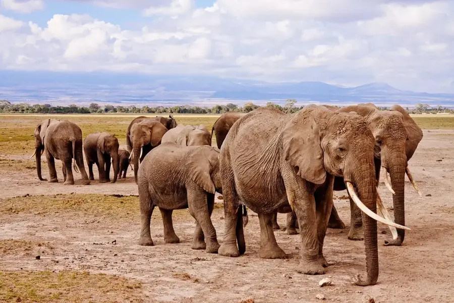
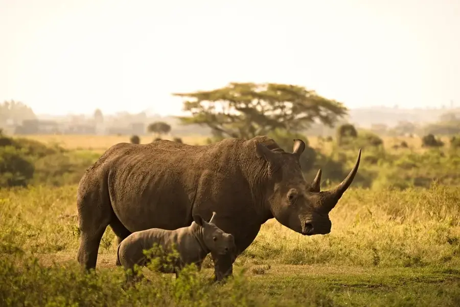
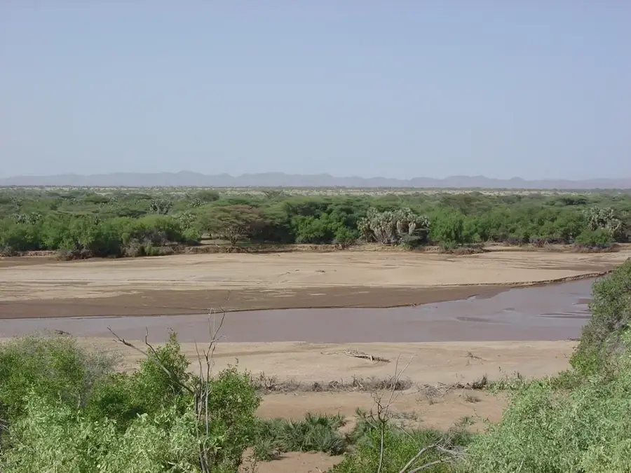
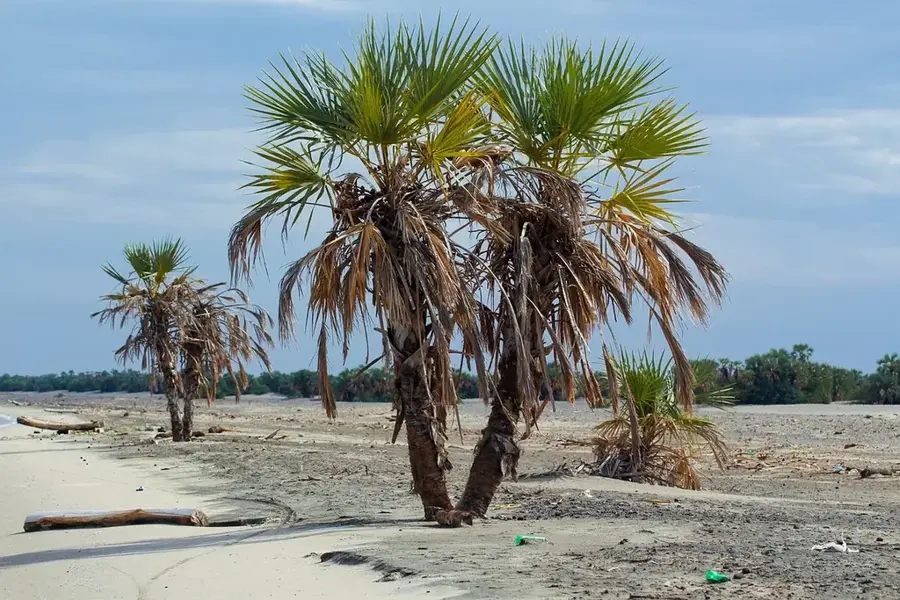
Lake Ol Oropil is a seasonal lake and wetland situated on the Laikipia Plateau in central Kenya, within the Ewaso Ng'iro North drainage basin. Set in a semi-arid landscape, the lake typically fills only after significant rainfall, temporarily transforming into a haven for waterbirds and wildlife. During the dry season, it recedes into a shallow, saline depression with sparse vegetation. The area is critically important for the migratory corridors of elephants and Grevy's zebras, which rely on seasonal water points in Laikipia to move between grazing lands. The surrounding vegetation is characterized by acacia savanna and dry bushland, providing cover for various antelope species. In recent years, increased pressure from communal livestock grazing and unpredictable rainfall patterns due to climate change have challenged the stability of this fragile ecosystem. Despite these pressures, Ol Oropil remains an essential ecological stepping stone in the connectivity of protected areas across Laikipia and into the Samburu plains.
- Location: Kenya
- Top sights: Mangar Geosite · Kiborgoch Community Wildlife & Wetland Conservancy
- Nearby: Lake Baringo (23 km)
Best time to visit & climate
The most pleasant time to visit is Jan, Feb, Dec.
| Jan | Feb | Mar | Apr | May | Jun | Jul | Aug | Sep | Oct | Nov | Dec | |
|---|---|---|---|---|---|---|---|---|---|---|---|---|
| Avg °C | 22 | 23 | 24 | 23 | 22 | 21 | 21 | 21 | 22 | 23 | 22 | 21 |
| Rain mm | 26 | 19 | 49 | 140 | 110 | 88 | 103 | 110 | 75 | 78 | 87 | 52 |
📋 Practical info
Geography
Facts
- Lake Ol Oropil is a seasonal wetland located on the Laikipia Plateau.
- It serves as a vital watering hole for endangered Grevy's zebras.
- The elevation of the surrounding landscape is roughly 1,800 meters.
- The lake water becomes increasingly saline during the dry season.
- It is a key site for migratory birds traveling the East African flyway.
- The lake's size fluctuates significantly depending on the El Niño cycle.
Explore nearby
Notable places around
Route planner — Car & Motorhome
Where do you start? We build the route here, with stops and country notes along the way.
© OpenStreetMap contributors · OpenRouteService
Sights in the town Lake Ol Oropil (2)
Sights nearby
Frequently asked questions
What is Lake Ol Oropil?
When does the lake have water?
Can you see flamingos there?
How do you reach the area?
Is there tourist infrastructure?
Lake Ol Oropil: where is it located?
Lake Ol Oropil: what is there to see?
Lake Ol Oropil: when is the best time to visit?
Lake Ol Oropil: why is it worth visiting?

History & landmarks


Nature
More places