Plizio Visual Lab
Mount Kadam
Weather…
Water temperature…
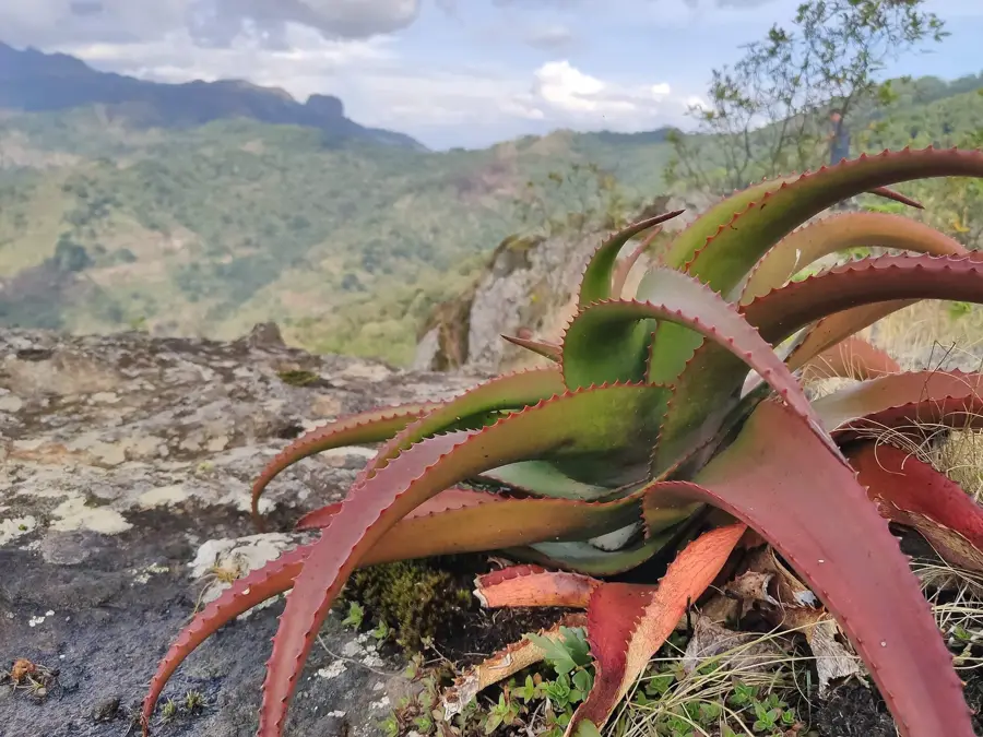
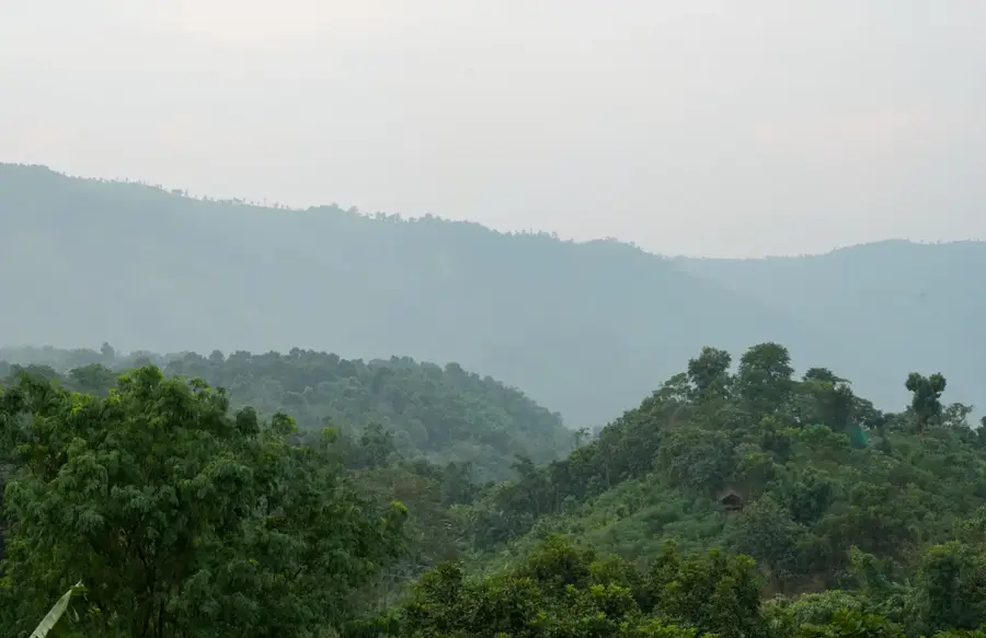
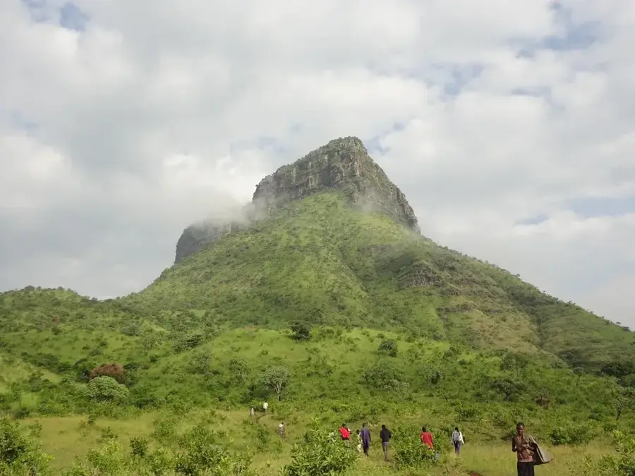
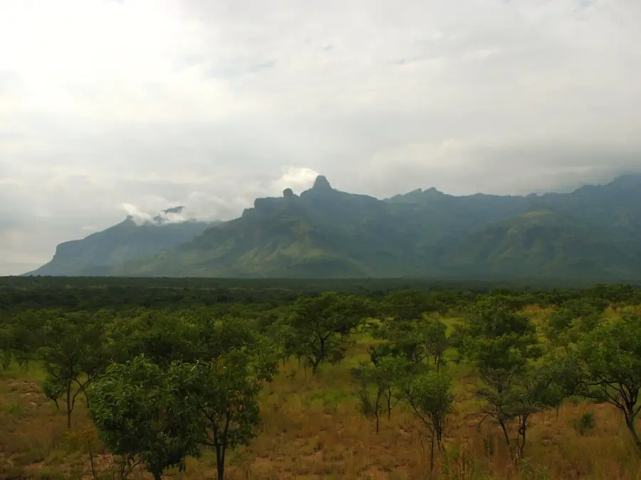
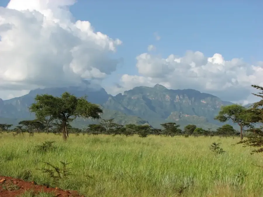
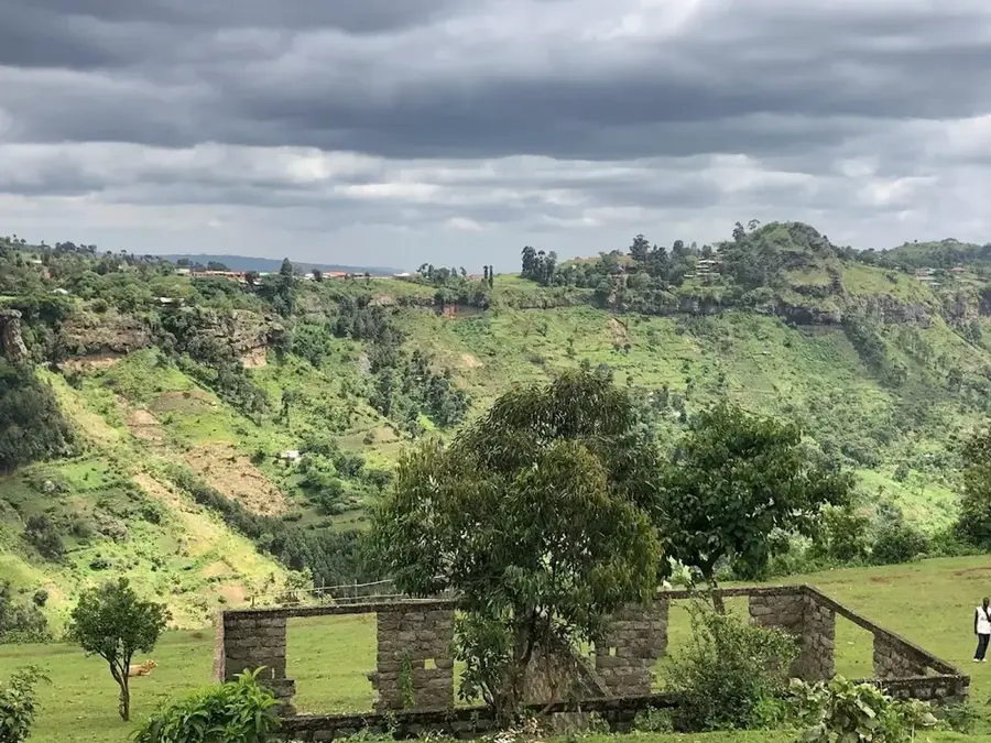
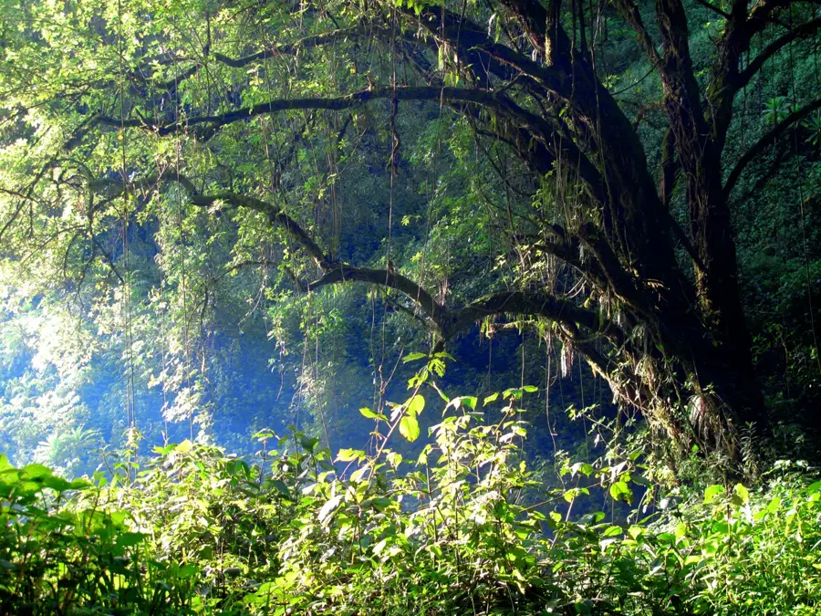
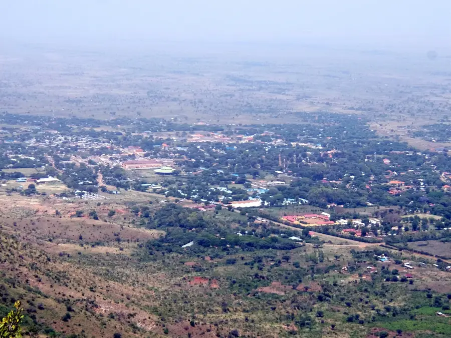
Mount Kadam, sometimes referred to as Mount Debasien, is an extinct shield volcano in the Karamoja region of eastern Uganda. At 3,063 meters, it is the second-highest peak in the region after Mount Moroto. Geologically, Kadam is part of a group of Miocene-era alkaline volcanoes in northeastern Uganda. Its large caldera is a distinctive feature, formed by the collapse of the volcano following massive eruptions. The slopes of the mountain are covered by diverse vegetation, ranging from savanna at its base to montane forests at higher elevations. These forests are ecologically significant, serving as a water catchment and supporting a rich biodiversity, including primates and numerous bird species. The Kadam area is the traditional homeland of the Kadam and Pokot peoples. The region is less accessible and less developed for tourism than other parts of Uganda, which has helped preserve its natural environment and cultural authenticity.
- Location: Uganda
- Nearby: Kapchorwa (46 km)
Best time to visit & climate
The most pleasant time to visit is Jan, Nov, Dec.
| Jan | Feb | Mar | Apr | May | Jun | Jul | Aug | Sep | Oct | Nov | Dec | |
|---|---|---|---|---|---|---|---|---|---|---|---|---|
| Avg °C | 26 | 27 | 27 | 26 | 25 | 24 | 23 | 23 | 24 | 25 | 24 | 25 |
| Rain mm | 15 | 17 | 43 | 89 | 114 | 85 | 94 | 120 | 111 | 85 | 56 | 34 |
📋 Practical info
Geography
Facts
- Mount Kadam stands at an elevation of 3,063 meters.
- It is an extinct shield volcano dating back to the Miocene epoch.
- The mountain has one of the largest forest covers in Karamoja.
- Its original name in the Kadam language is 'Tung'utung'.
- The volcano's caldera has a diameter of approximately 15 kilometers.
- The Kadam Forest Reserve was established in 1944.
Explore nearby
Notable places around
Route planner — Car & Motorhome
Where do you start? We build the route here, with stops and country notes along the way.
© OpenStreetMap contributors · OpenRouteService
Sights in the town Mount Kadam (1)
Sights nearby
Frequently asked questions
How demanding is the mountain hiking?
Are there marked routes?
What is the best time?
Do I need special equipment?
Is there drinking water on the mountain?
Mount Kadam: where is it located?
Mount Kadam: when is the best time to visit?
Mount Kadam: why is it worth visiting?

Nearby cities

More places