Plizio Visual Lab
Long Mountain
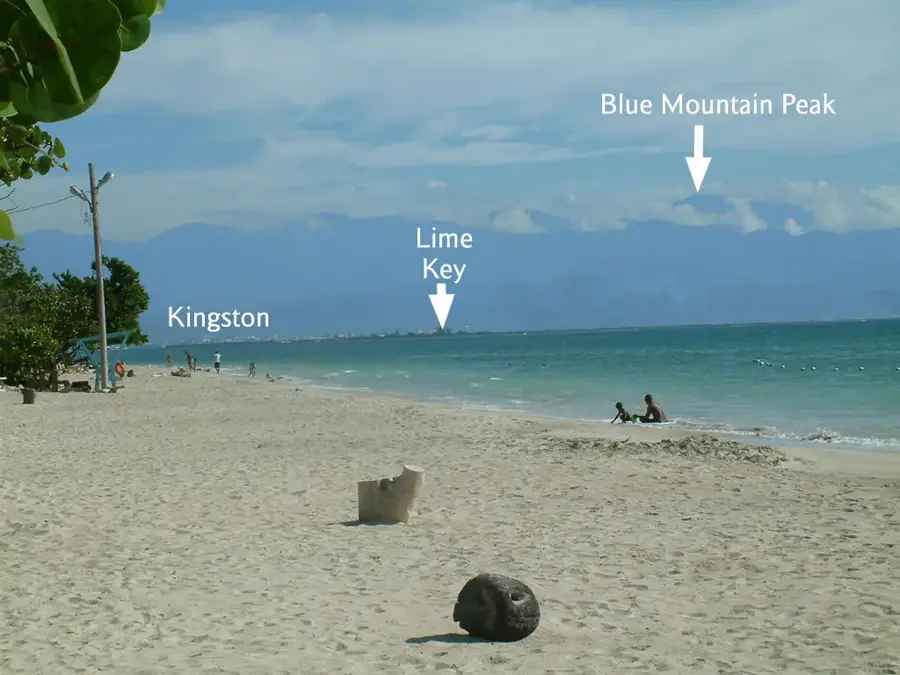
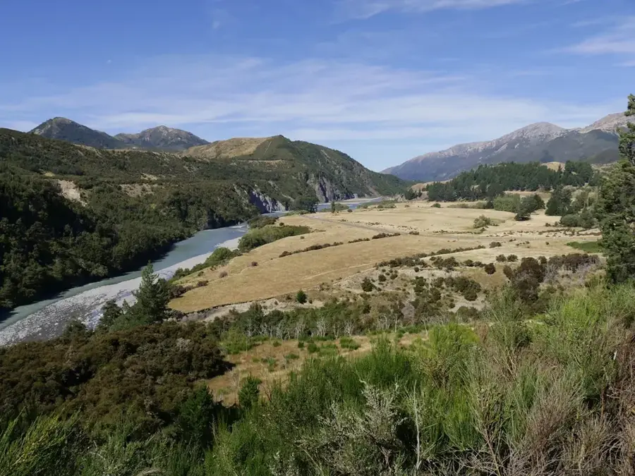
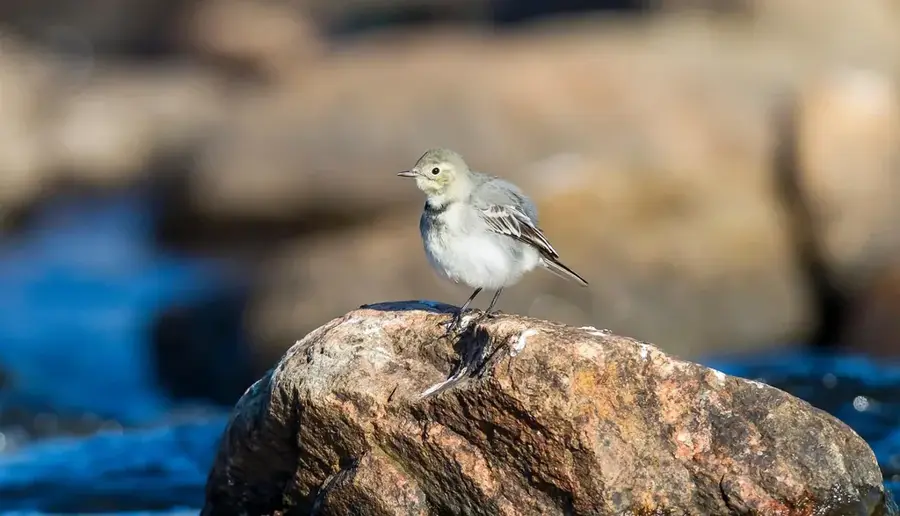
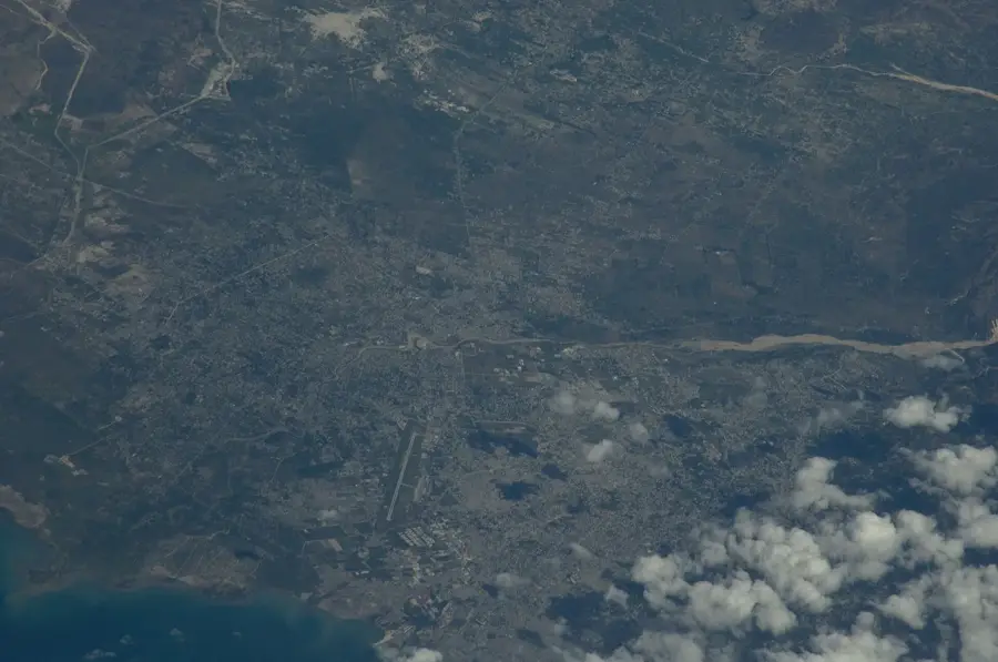
Long Mountain is a monumental limestone ridge that forms the eastern boundary of Kingston and defines the capital's skyline. The ridge and its slopes constitute one of Jamaica's most important urban green spaces, where dry tropical forests and karst rock formations hide a unique biodiversity. Long Mountain is home to several endemic plant and bird species and serves as a vital ecological buffer zone between urbanized areas and nature. From the top of the mountain, sweeping panoramas of Kingston Harbour, the Palisadoes peninsula, and the distant peaks of the Blue Mountains are visible. Long Mountain is not only a conservation area but also a popular hiking destination, offering fresh air and a quiet escape for the city's residents.
- Location: Jamaica
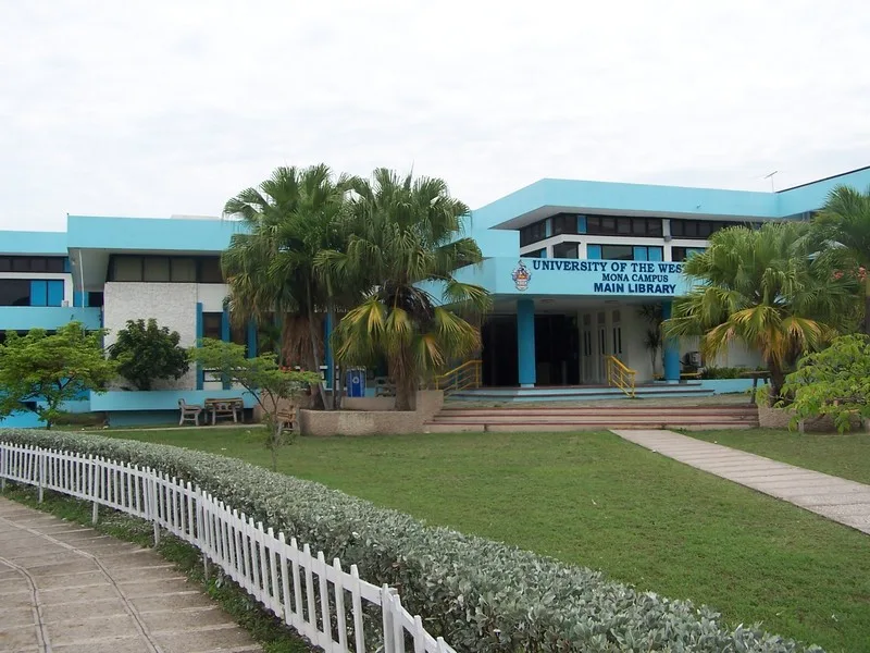
- Top sights: Mona, Jamaica · Sir Frank Worrell Cricket Ground
- Nearby: Hellshire Beach (16 km)
Best time to visit & climate
The most pleasant time to visit is Jan–Mar.
| Jan | Feb | Mar | Apr | May | Jun | Jul | Aug | Sep | Oct | Nov | Dec | |
|---|---|---|---|---|---|---|---|---|---|---|---|---|
| Avg °C | 26 | 26 | 26 | 27 | 27 | 28 | 28 | 28 | 28 | 28 | 27 | 27 |
| Rain mm | 35 | 18 | 27 | 40 | 117 | 101 | 75 | 111 | 131 | 180 | 94 | 51 |
📋 Practical info
Geography
Facts
- Reaches a maximum height of approximately 450 meters.
- Geologically composed of younger limestone than the neighboring mountain ranges.
- Hosts one of Jamaica's most significant 'dry forest' reserves.
- The hiking trails along the ridge are a favorite for Kingston's nature enthusiasts.
- Provides nesting sites for various rare bat species and nocturnal birds.
- Serves as a critical watershed for the eastern neighborhoods of Kingston.
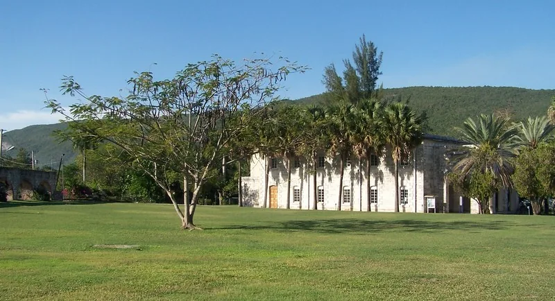
- Contains several historical landmarks from the former Mona Estate on its slopes.
- Protection of the area is crucial for mitigating the urban heat island effect in the capital.
Explore nearby
Notable places around
Route planner — Car & Motorhome
Where do you start? We build the route here, with stops and country notes along the way.
© OpenStreetMap contributors · OpenRouteService
Sights in the town Long Mountain (2)
Sights nearby
Frequently asked questions
How high is Long Mountain?
Is hiking there safe?
What can you see from the summit?
What flora is typical?
When is the best time to visit?
Long Mountain: where is it located?
Long Mountain: what is there to see?
Long Mountain: when is the best time to visit?
Long Mountain: why is it worth visiting?

Nearby cities
History & landmarks
Nature
More places