Plizio Visual Lab
Mecsek Mountains
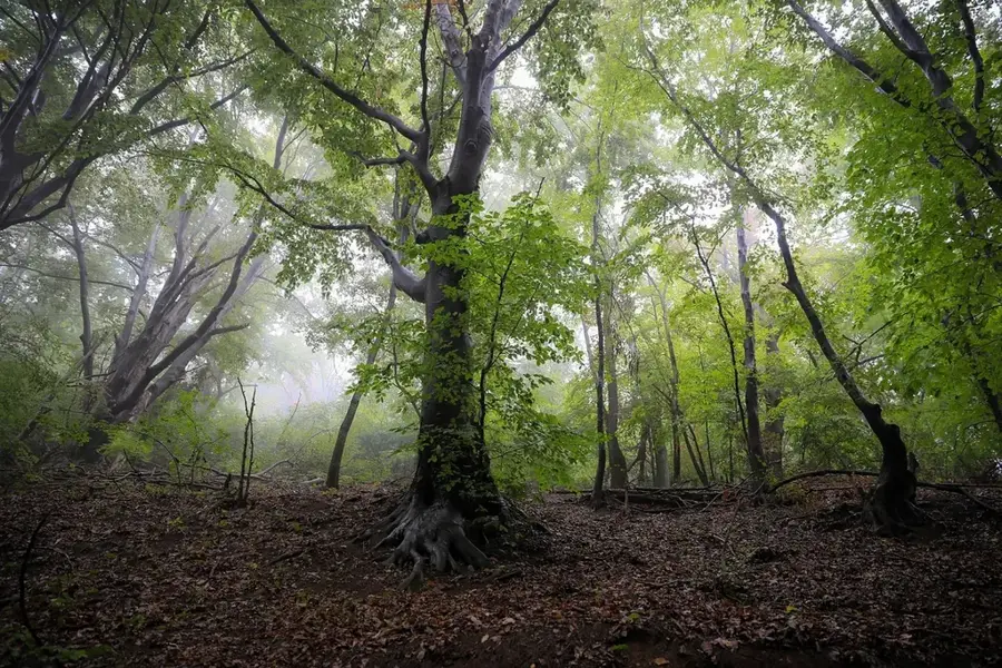
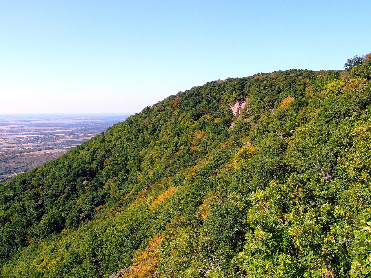
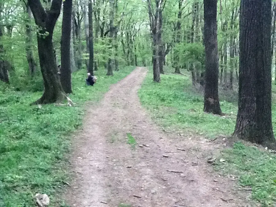
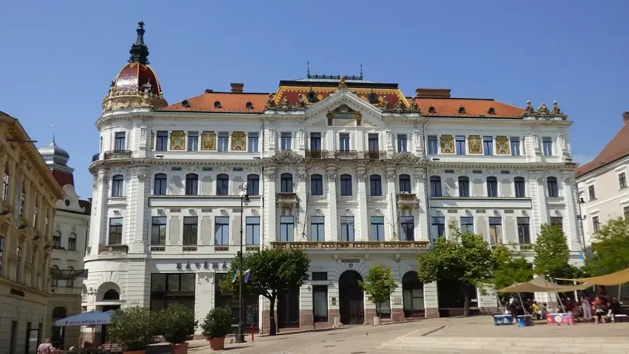
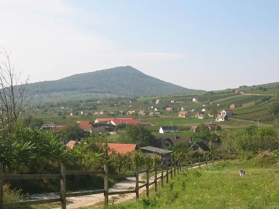
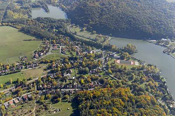
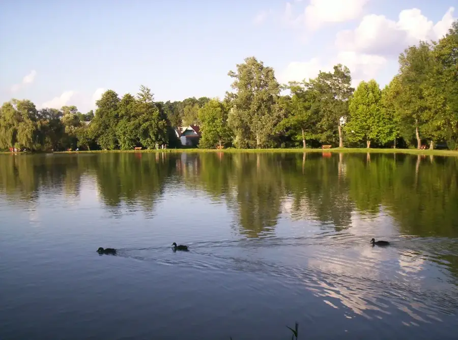
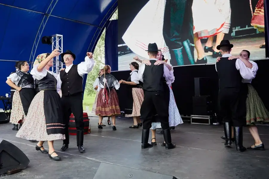
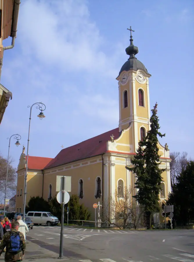
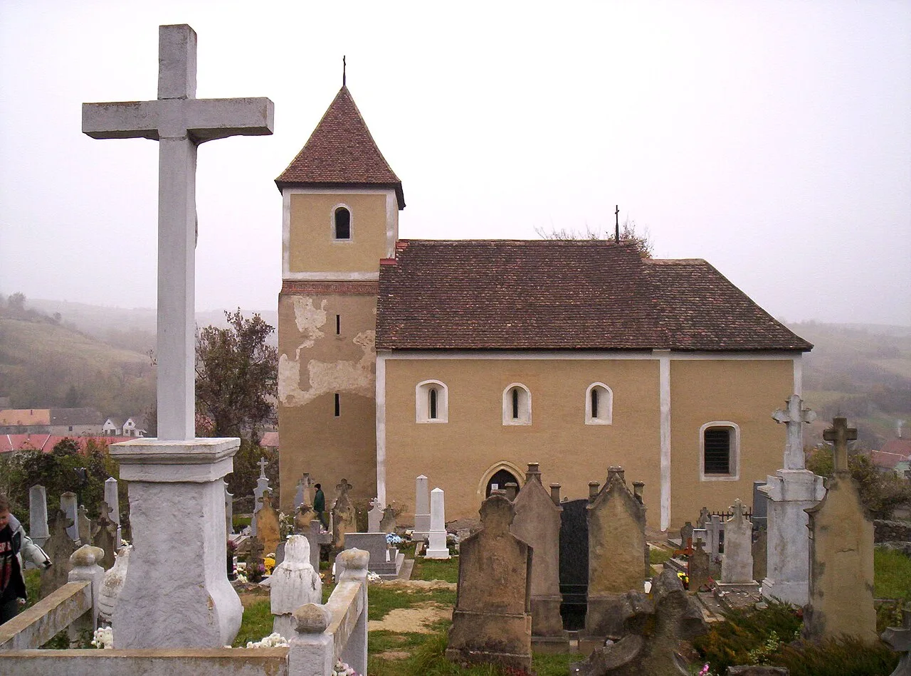
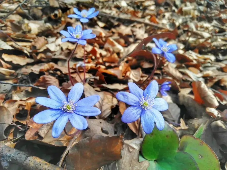
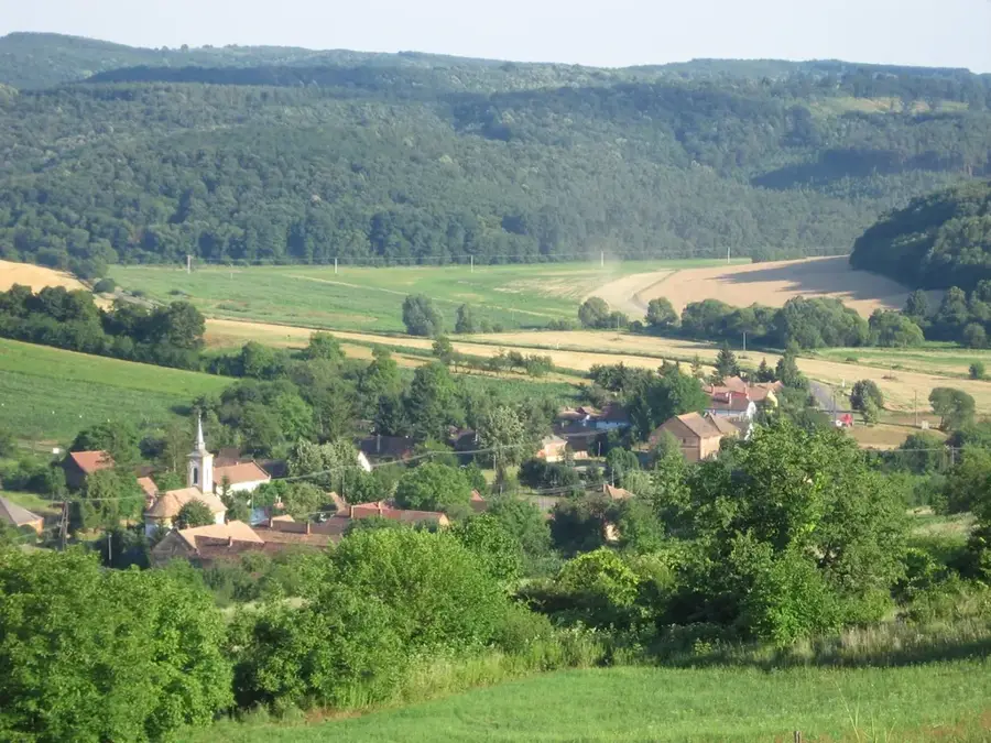
The Mecsek Mountains are an isolated range in southern Hungary, rising directly north of the city of Pécs. The mountains are renowned for their geological diversity and sub-Mediterranean climate, which supports unique flora and fauna not found elsewhere in the country. The highest peak is Zengő, standing at 682 meters, offering panoramic views across the Transdanubian region. Geologically, the range consists of a complex mix of limestone, sandstone, and volcanic rocks, leading to the formation of numerous karst features like the Abaliget Cave. During the 20th century, the Mecsek was a vital center for mining, particularly hard coal and uranium, which significantly shaped the region's industrial development. The slopes are covered with lush oak and beech forests, home to rare plants such as the Banat peony. Today, the area is a popular recreational destination with extensive hiking trails, the scenic lakes of Orfű, and renowned thermal baths. The city of Pécs, positioned on the southern slopes, serves as a gateway where nature meets rich cultural and historical heritage.
- Location: Baranya, Hungary
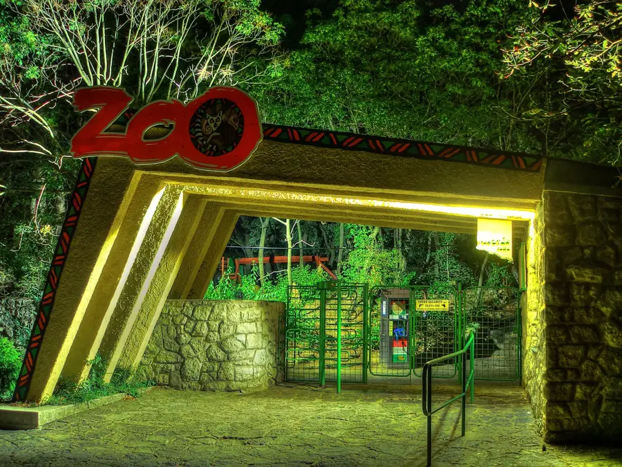
- Top sights: stage · farmyard courtyard · Pécsi Zoo
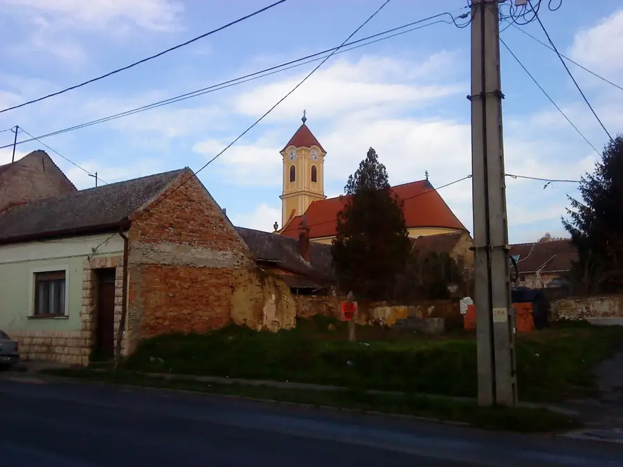
- Nearby: Orfű (7 km)
Best time to visit & climate
The most pleasant time to visit is Jun–Aug.
| Jan | Feb | Mar | Apr | May | Jun | Jul | Aug | Sep | Oct | Nov | Dec | |
|---|---|---|---|---|---|---|---|---|---|---|---|---|
| Avg °C | 0 | 1 | 6 | 12 | 17 | 21 | 24 | 23 | 17 | 12 | 6 | 1 |
| Rain mm | 41 | 47 | 44 | 42 | 79 | 75 | 63 | 58 | 68 | 60 | 48 | 48 |
📋 Practical info
Geography
Facts
- Zengő is the highest peak in the range at 682 meters.
- The mountains feature a unique sub-Mediterranean climate.
- Uranium mining was a major industry here until the 1990s.
- The Abaliget Cave is a well-known therapeutic karst cave.
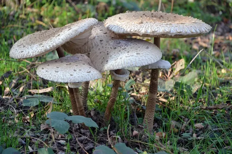
- It is the primary habitat for the rare Banat peony.
- The range acts as a geological island in the Pannonian Basin.
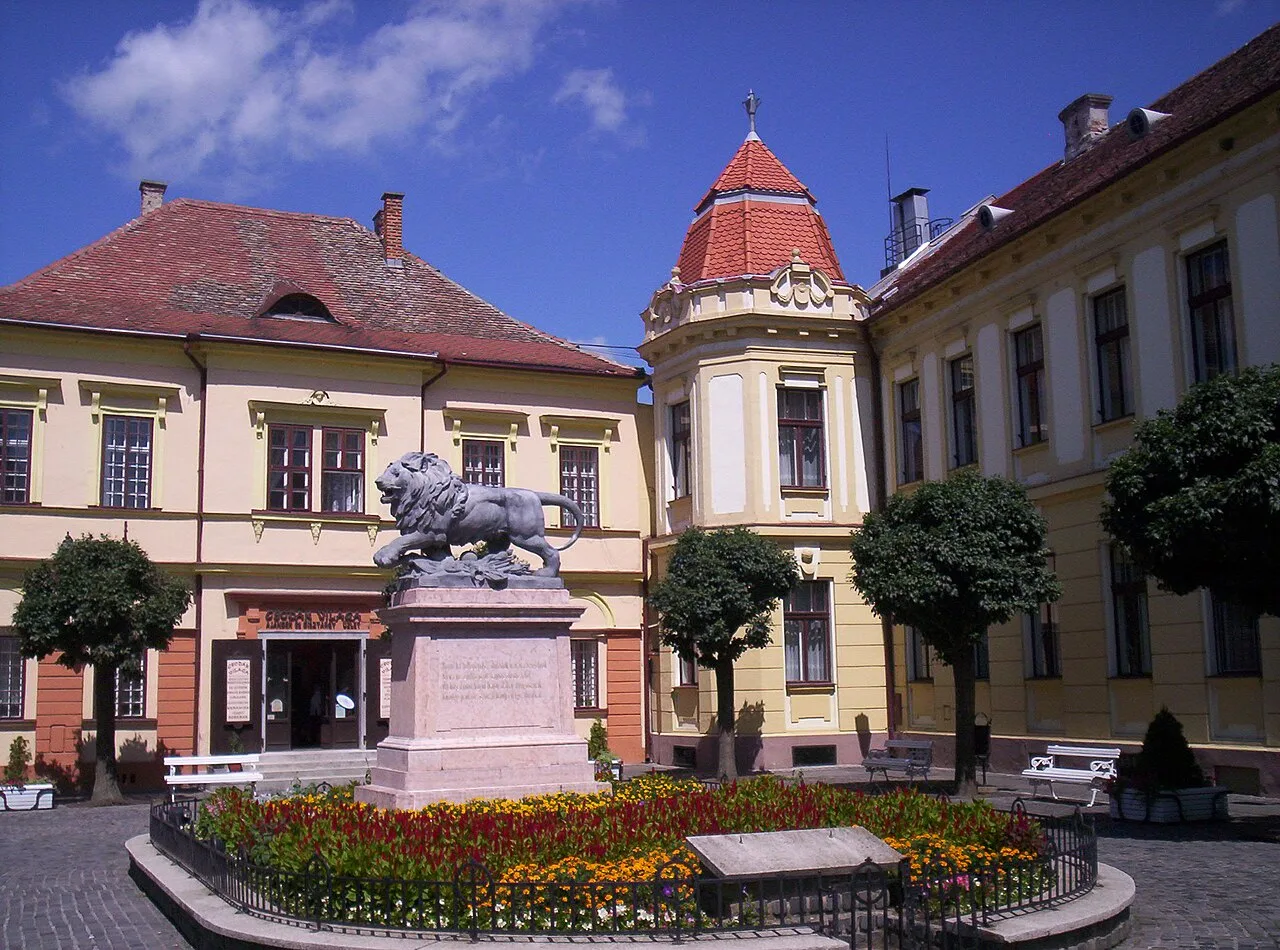
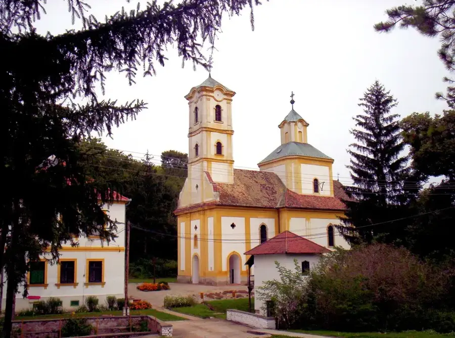
Explore nearby
Notable places around
Route planner — Car & Motorhome
Where do you start? We build the route here, with stops and country notes along the way.
© OpenStreetMap contributors · OpenRouteService
Sights in the town Mecsek Mountains (10)
Fókamedence
Seal pool at Pécs Zoo, featuring seals.
Misina
Mountain in Hungary, in the Mecsek range, with a lookout tower.
Csak az ember olvas
Book-shaped carved stone on a bridge, with the inscription: 'Csak az ember olvas'.
DavinciSpa
Water park in the Mecsek Mountains, with pools and slides.
Mecsek-kapu
Gate in the Mecsek Mountains, marking a hiking trail.
Mecsek kiállítás🏛 museum
Exhibition in the Mecsek Mountains about the region's nature and history.
Tettyei rom
Ruins in Pécs, remains of a historic building.
Sights nearby
Frequently asked questions
What is the highest point of the Mecsek?
When is the best time for hiking in the Mecsek?
Which city is the best starting point?
Are there dangerous animals in the Mecsek?
What are the main sights to see?
Mecsek Mountains: where is it located?
Mecsek Mountains: what is there to see?
Mecsek Mountains: when is the best time to visit?
Mecsek Mountains: why is it worth visiting?

Nearby cities

History & landmarks

Nature
More places