Plizio Visual Lab
Kwahu Plateau
Weather…
Water temperature…
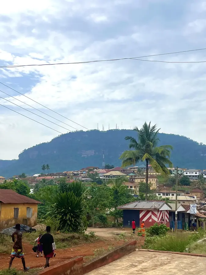
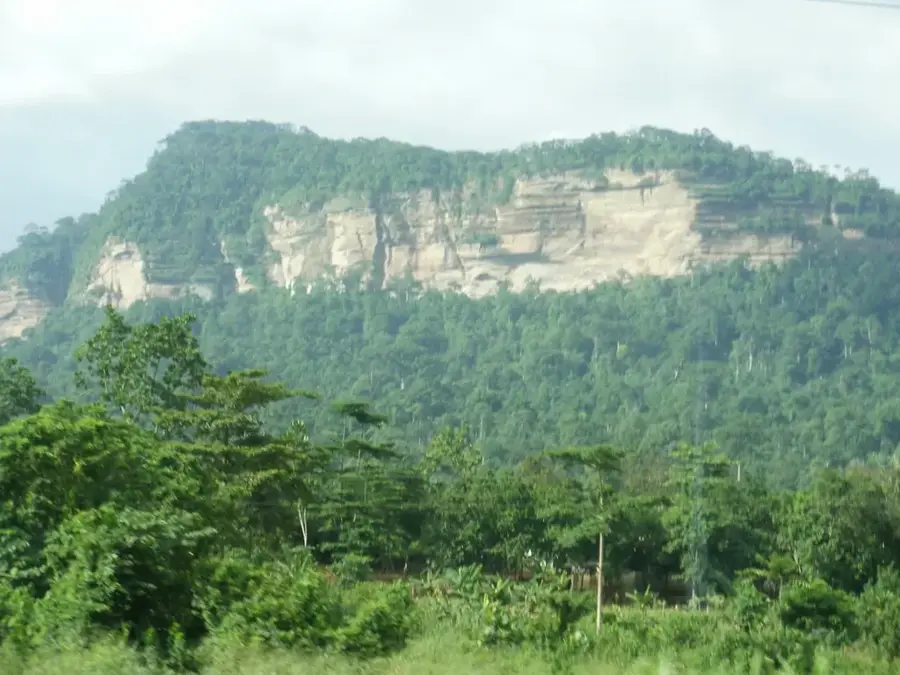
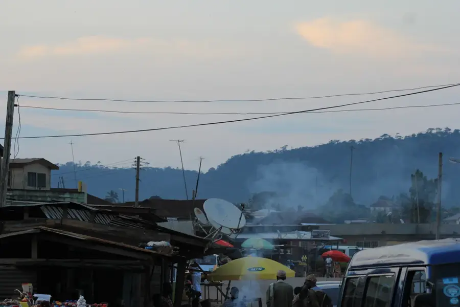
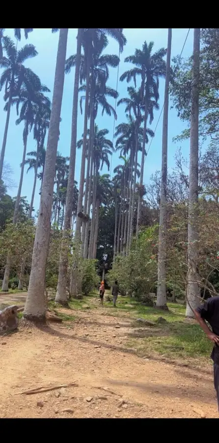
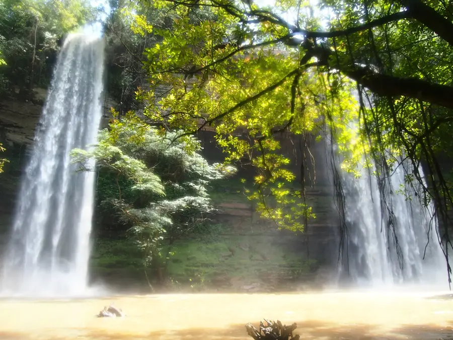
The Kwahu Plateau is one of Ghana's most significant geographical features, stretching about 260 kilometers (160 miles) from northwest to southeast. With an average elevation of 450 meters (1,500 feet), it serves as a critical watershed, separating the Volta River basin to the north from the south-flowing rivers like the Pra and Birim. The plateau's edges are marked by steep escarpments that offer dramatic vistas and feature unique sandstone rock formations. Geologically, it is part of the Voltaian System, composed of ancient sedimentary rocks that have been weathered over eons. Its higher altitude provides a noticeably cooler and less humid climate compared to the coastal plains, which historically attracted dense settlements and missionaries. During the 19th century, it was a strategic territory in the conflicts between the Asante Empire and the British. Today, the plateau is famous for the Kwahu Easter Festival, which features international paragliding events from the cliffs of Atibie. The region's fertile environment supports robust agriculture, particularly the cultivation of vegetables, grains, and cocoa.
- Location: Ghana
- Nearby: Begoro (38 km)
Best time to visit & climate
The most pleasant time to visit is Jan, Aug, Dec.
| Jan | Feb | Mar | Apr | May | Jun | Jul | Aug | Sep | Oct | Nov | Dec | |
|---|---|---|---|---|---|---|---|---|---|---|---|---|
| Avg °C | 27 | 28 | 28 | 27 | 27 | 25 | 24 | 25 | 25 | 25 | 26 | 26 |
| Rain mm | 18 | 42 | 96 | 108 | 146 | 194 | 139 | 85 | 168 | 187 | 71 | 18 |
📋 Practical info
Geography
Facts
- The plateau defines the boundary between the forest zone and the northern savanna.
- Abetifi, located on the plateau, is the highest inhabited town in Ghana.
- The geological layers consist of sandstone dating back over 500 million years.
- Annual rainfall on the plateau ranges from 1,500 to 2,000 millimeters.
- The area contains numerous caves that were historically used for sacred rituals.
- The prominent 'Twin Mountains' near Kyra are famous landmarks of the plateau.
Explore nearby
Notable places around
Route planner — Car & Motorhome
Where do you start? We build the route here, with stops and country notes along the way.
© OpenStreetMap contributors · OpenRouteService
Sights in the town Kwahu Plateau (1)
Sights nearby
Frequently asked questions
Why is the Kwahu Plateau important for tourism?
Which towns are located on the plateau?
What else can you do there besides paragliding?
What is the weather like on the plateau?
Is the plateau suitable for families?
Kwahu Plateau: where is it located?
Kwahu Plateau: when is the best time to visit?
Kwahu Plateau: why is it worth visiting?

Nearby cities


Nature
More places