Plizio Visual Lab
Begoro
ℹ️Practical info — Begoro
▾
🌤 Weather — 5 days
📍 Nearby
Sights nearby
💡 Tips
- Be sure to visit the nearby waterfalls with a local guide.
- Dress in layers, as the climate here is noticeably cooler than on the coast.
- Hire a taxi for a day to explore the scenic surrounding hills.
- Greet elders respectfully on the street; it's an important courtesy here.
🍽 Food
Traditionally served at the local chop bars in town.
Spicy fried plantains, best tried at evening street stalls.
Ask the locals for the best palm wine tapper in the area.
🛍 Shopping · 🧘 Quiet spots
A lively hub for printed fabrics and local agricultural produce.
Look out for beautiful wooden carvings and traditional beads.
A soothing nature spot located a bit outside of town.
Excellent for a quiet and undisturbed hike in nature.
Water temperature…
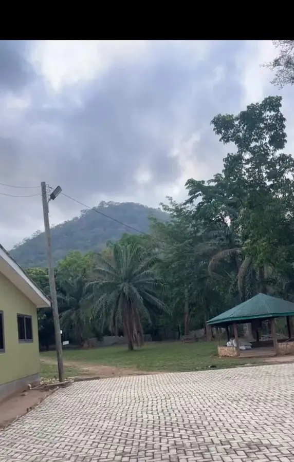
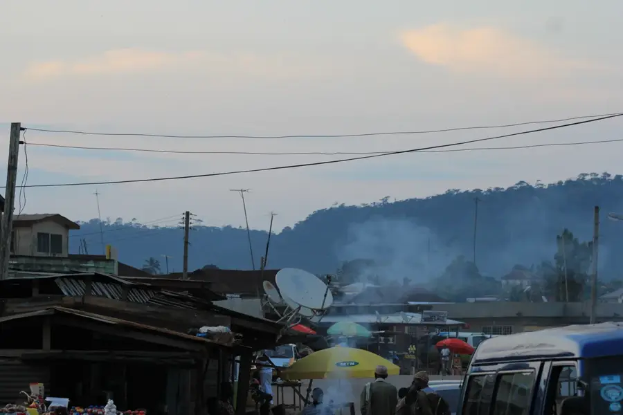
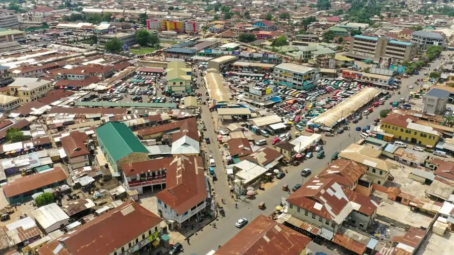
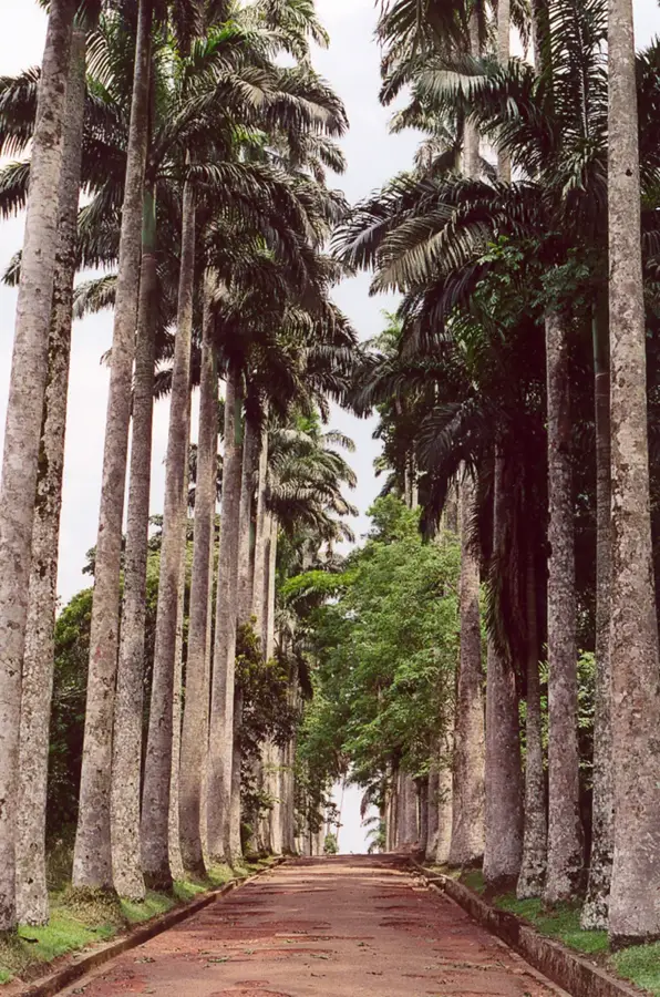
Begoro is the capital of the Fanteakwa North District in the Eastern Region of Ghana, situated on a scenic plateau approximately 370 meters above sea level. The town is well-known for its cool, often misty climate and fertile soils, making it a significant hub for the cultivation of citrus fruits, oil palm, and vegetables. Historically, Begoro is closely linked to the Akyem people and plays a central role during the annual Odwira festival, which celebrates victory over the Ashanti and gratitude for the harvest. The town's architecture reflects a blend of colonial influences and traditional Ghanaian structures. Begoro also serves as a gateway to the nearby Begoro and Osubin waterfalls, which are ecologically significant. The community is recognized for its strong focus on education and agriculture, making it a stable economic backbone of the region. Today, it is home to about 30,000 people who uphold the traditions of the Akyem Abuakwa.
- Location: Ghana
- Top sights: Fanteakwa North District · Fanteakwa District
- Nearby: Bunso (14 km)
- Population: ~29.516 (2019)
Best time to visit & climate
The most pleasant time to visit is Jan, Aug, Dec.
| Jan | Feb | Mar | Apr | May | Jun | Jul | Aug | Sep | Oct | Nov | Dec | |
|---|---|---|---|---|---|---|---|---|---|---|---|---|
| Avg °C | 27 | 28 | 28 | 27 | 27 | 25 | 24 | 25 | 25 | 25 | 26 | 26 |
| Rain mm | 18 | 42 | 96 | 108 | 146 | 194 | 139 | 85 | 168 | 187 | 71 | 18 |
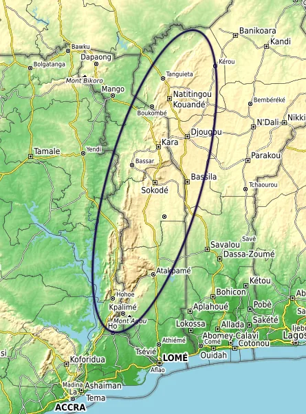
Geography
Facts
- The town is located about 370 meters above sea level.
- Begoro is the administrative center of Fanteakwa North.
- The Odwira festival is celebrated here annually in September.
- The region is famous for its high-quality citrus production.
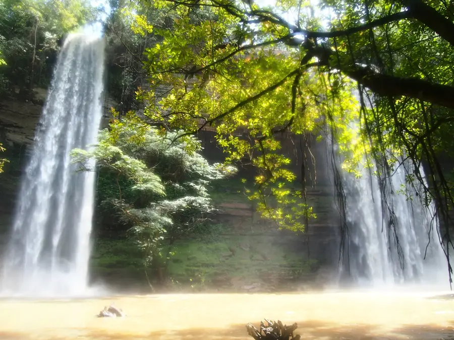
- The Osubin waterfalls are located in the vicinity.
- The population is approximately 30,000 residents.
Explore nearby
Notable places around
Route planner — Car & Motorhome
Where do you start? We build the route here, with stops and country notes along the way.
© OpenStreetMap contributors · OpenRouteService
Sights in the town Begoro (2)
Frequently asked questions
What makes Begoro interesting for tourists?
What festival is celebrated here?
How is the weather in Begoro?
What is the favorite local food?
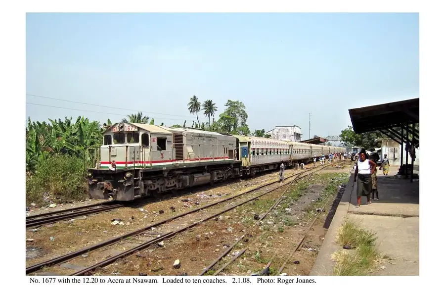
How to reach the town?
Begoro: where is it located?
Begoro: what is there to see?
Begoro: when is the best time to visit?
Begoro: why is it worth visiting?

Nearby cities

History & landmarks
More places