Plizio Visual Lab
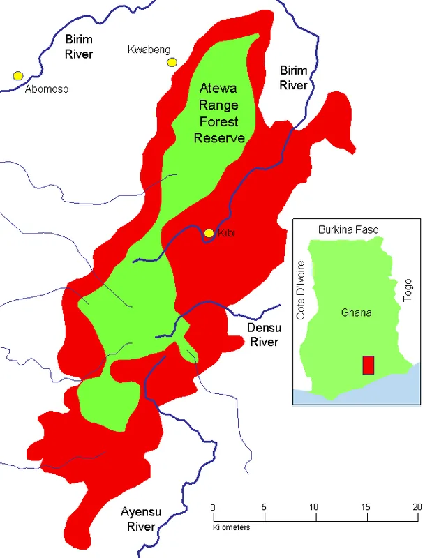
Atewa Range
Weather…
Water temperature…
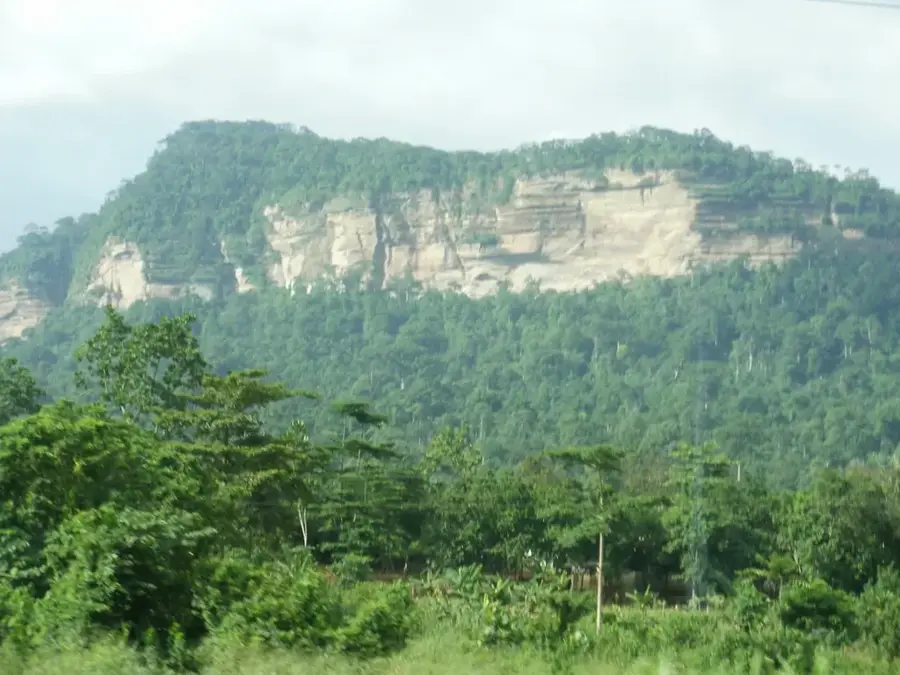
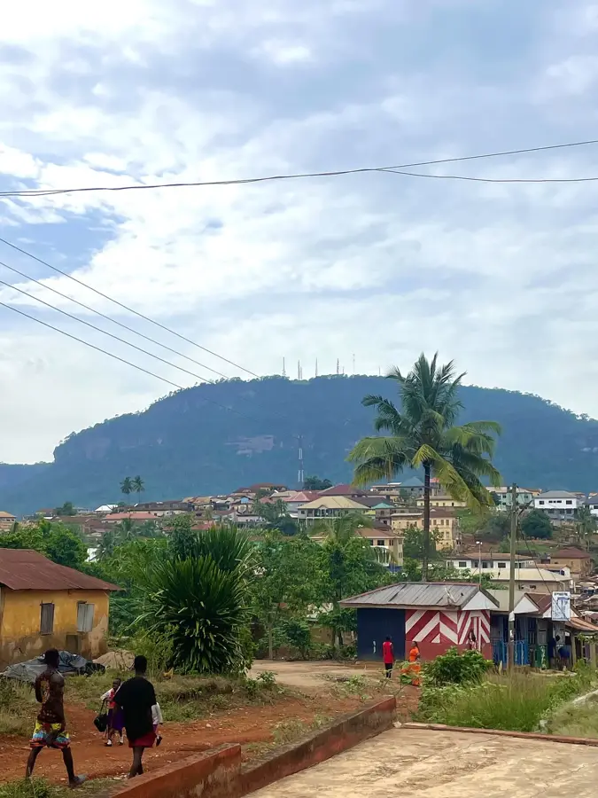
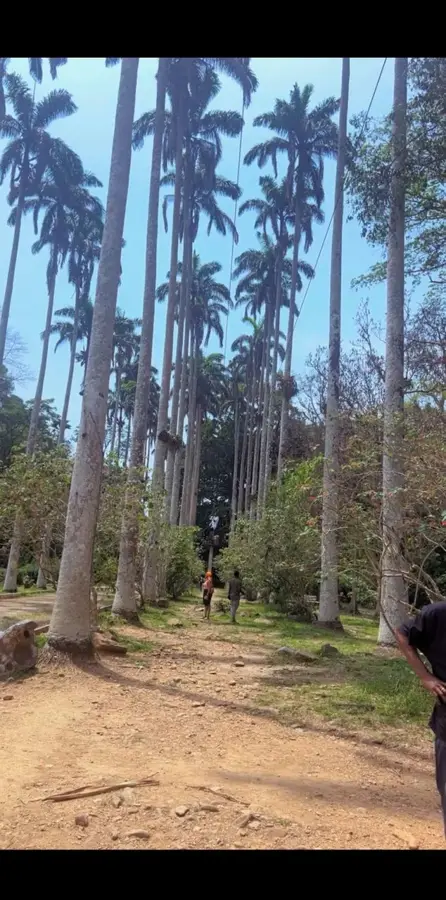
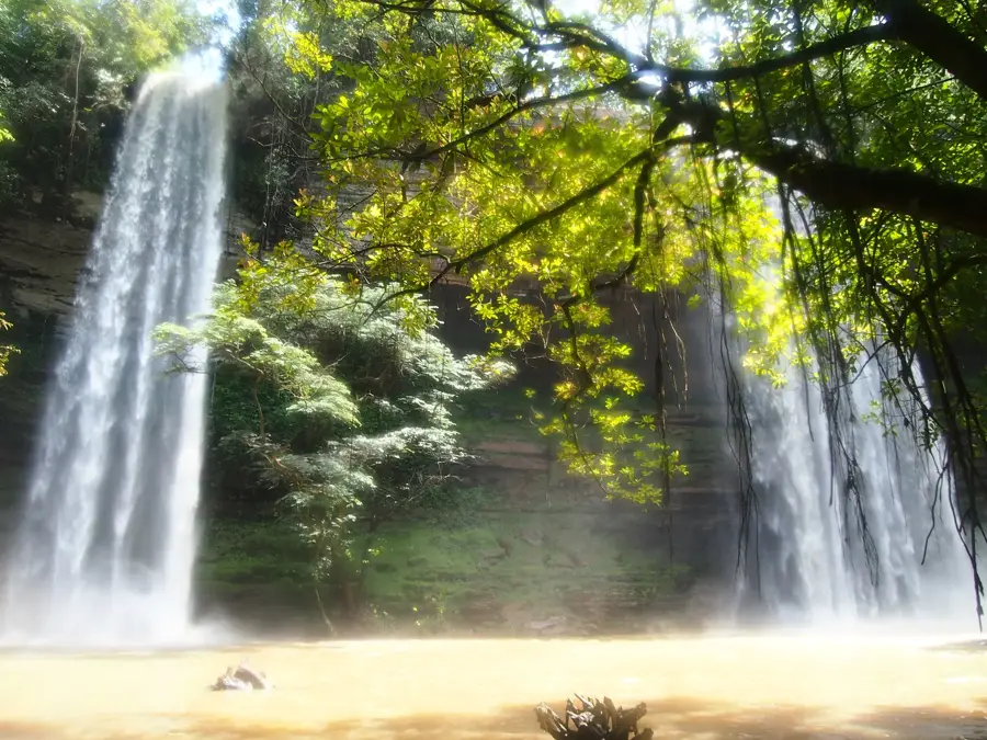
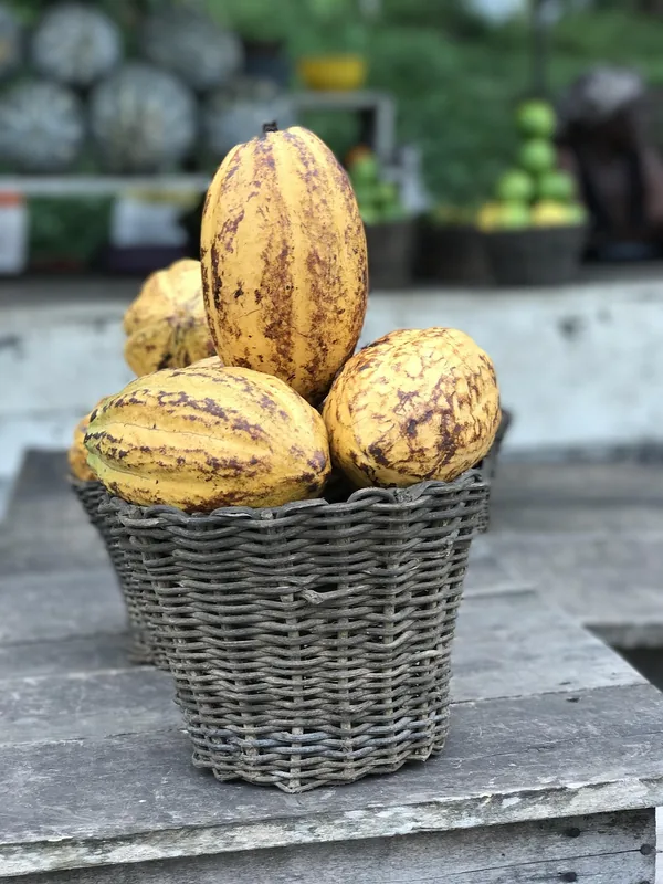
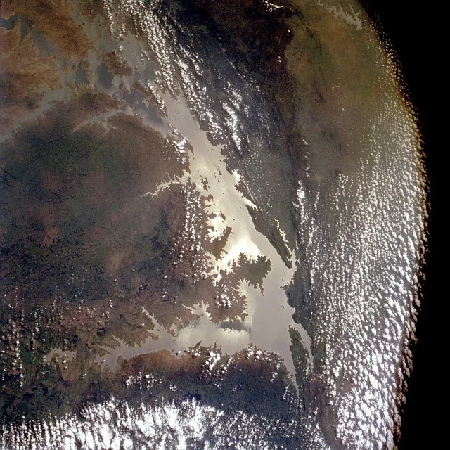
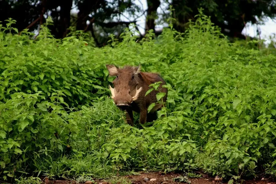
The Atewa Range is an ecologically sensitive upland area in southeastern Ghana, spanning approximately 230 square kilometers of dense tropical forest. It is celebrated as one of the last remaining examples of upland evergreen forest in West Africa, hosting an extraordinary array of biodiversity. The range serves as a vital water tower for the country, containing the headwaters of the Birim, Densu, and Ayensu rivers, which are essential water sources for millions of people. Geologically, the area is rich in bauxite deposits, leading to ongoing environmental debates regarding the impact of potential mining versus the need for strict conservation. The forest provides a sanctuary for many rare and endemic species, including the critically endangered Atewa-Togo frog and unique butterfly species found nowhere else. Global conservation groups consistently advocate for its elevation to National Park status to ensure the long-term protection of its unique biological heritage. The preservation of the Atewa forest is considered crucial for maintaining regional hydrological cycles and protecting Ghana's natural legacy.
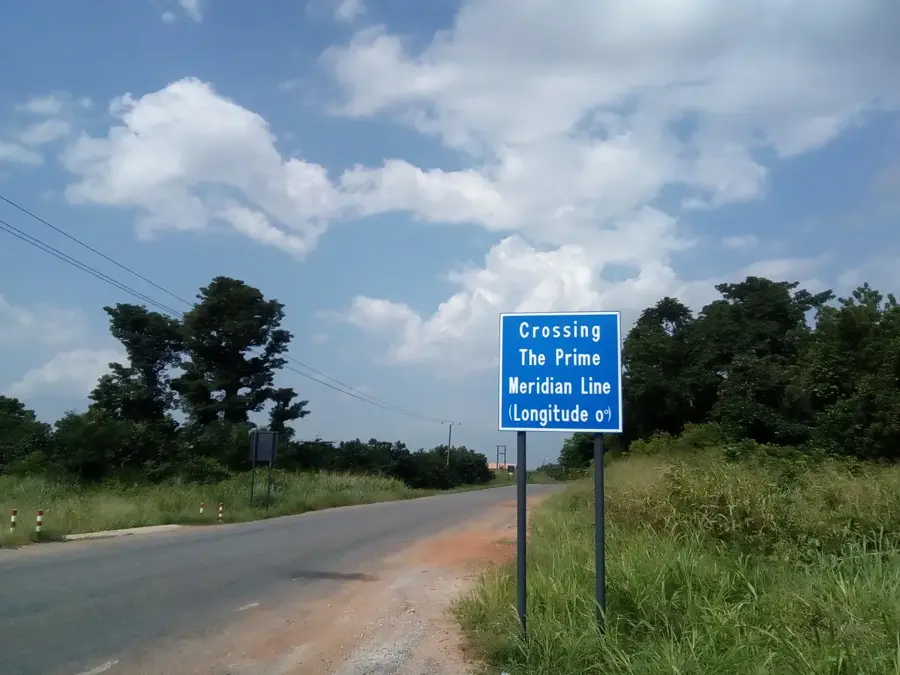
- Location: Ghana
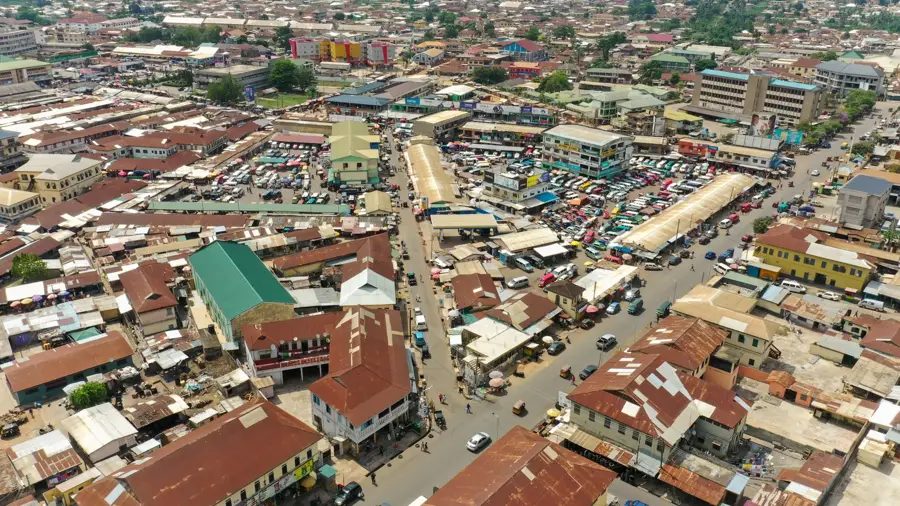
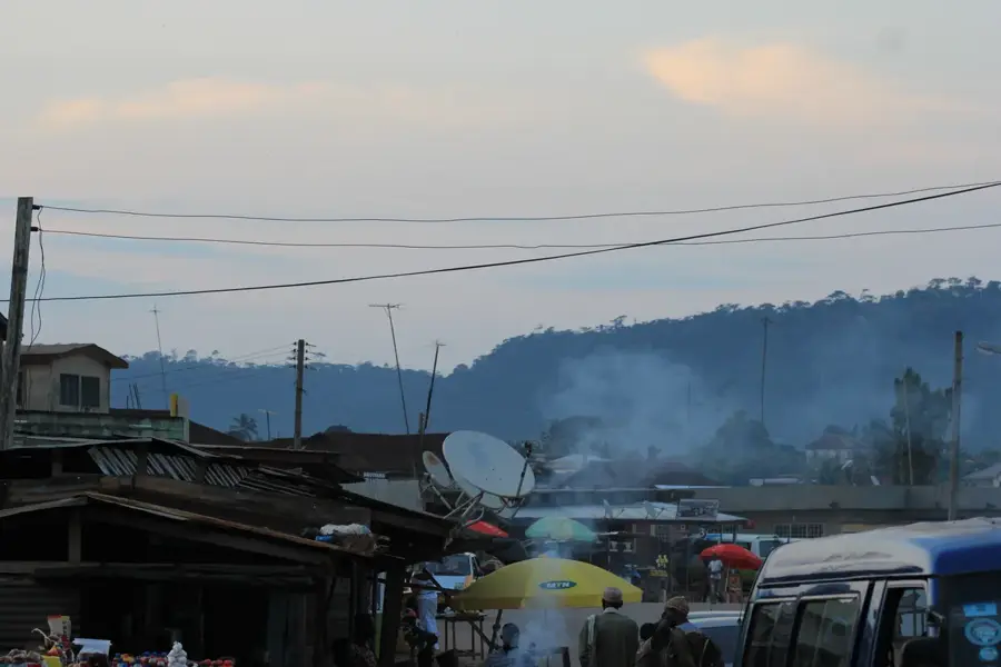
- Nearby: Bunso (9 km)
Best time to visit & climate
The most pleasant time to visit is Jan, Aug, Dec.
| Jan | Feb | Mar | Apr | May | Jun | Jul | Aug | Sep | Oct | Nov | Dec | |
|---|---|---|---|---|---|---|---|---|---|---|---|---|
| Avg °C | 27 | 28 | 27 | 27 | 26 | 25 | 24 | 24 | 25 | 25 | 26 | 26 |
| Rain mm | 21 | 47 | 108 | 121 | 167 | 205 | 125 | 70 | 154 | 194 | 81 | 21 |
📋 Practical info
Geography
Facts
- Highest elevation reaches 784 meters above sea level.
- Source of three major rivers: Birim, Densu, and Ayensu.
- Home to more than 570 different species of butterflies.
- Contains an estimated 150 to 180 million tons of bauxite.
- Only known habitat for the rare Atewa-Togo frog.
- Consists of two legally designated state forest reserves.
Explore nearby
Notable places around
Route planner — Car & Motorhome
Where do you start? We build the route here, with stops and country notes along the way.
© OpenStreetMap contributors · OpenRouteService
Sights in the town Atewa Range (1)
Sights nearby
Frequently asked questions
Why is the Atiwa Range ecologically important?
Can you hike in the Atiwa Range?
What is the weather like there?
Is there mining there?
What should you bring for a hike?
Atewa Range: where is it located?
Atewa Range: when is the best time to visit?
Atewa Range: why is it worth visiting?

Nearby cities


History & landmarks

Nature
More places