Plizio Visual Lab
Akuapem Ridge

Weather…
Water temperature…
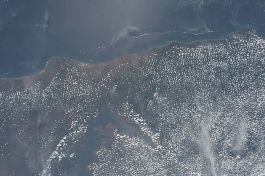
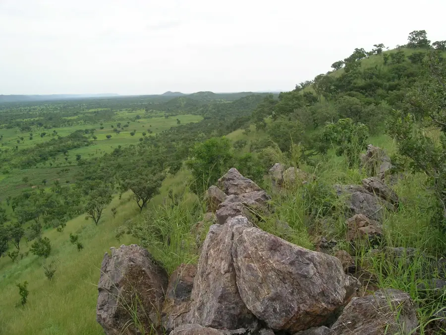
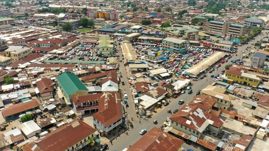
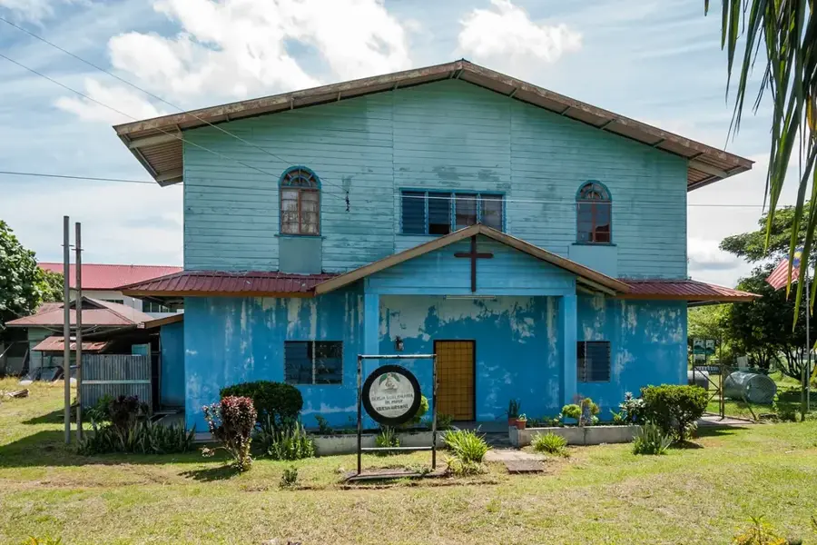
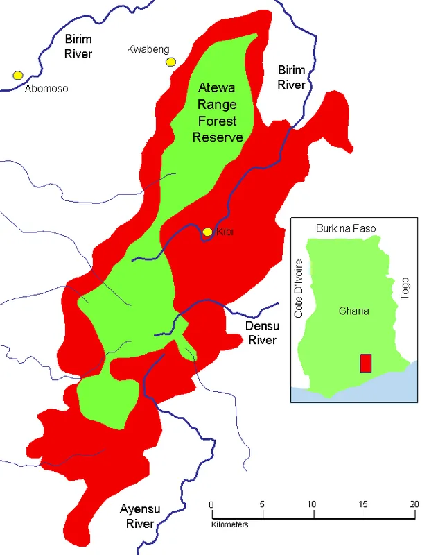
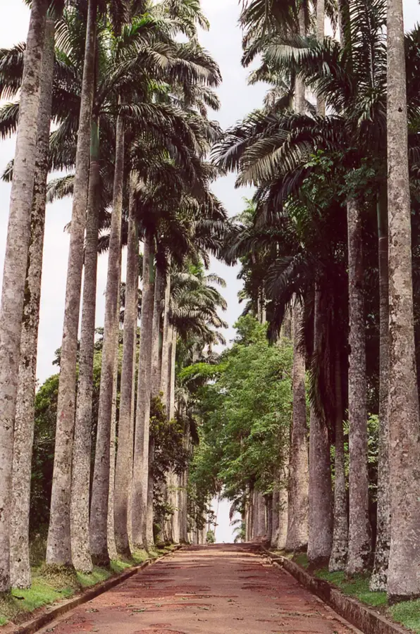
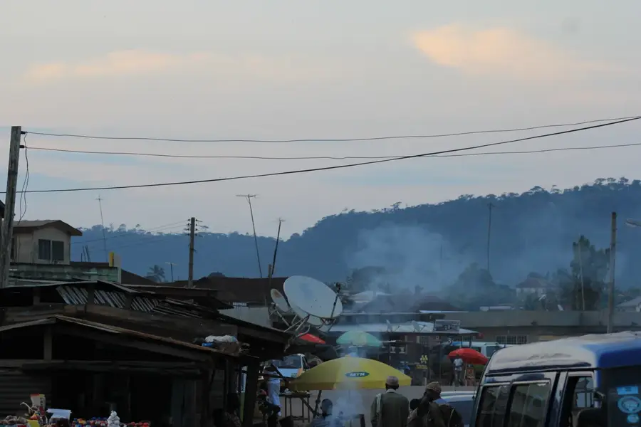
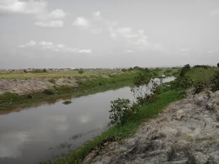
The Akuapem Ridge is a prominent mountain range in southeastern Ghana, beginning northeast of Accra and forming the southern segment of the larger Akwapim-Togo Range. Composed primarily of resistant quartzite and schist, this geological formation rises sharply from the coastal plains to an average altitude of about 450 meters. Its proximity to the capital and its refreshingly cool upland climate have made the ridge a densely populated area, home to historic towns such as Aburi, Larteh, and Akropong. The ridge plays a vital ecological role by acting as a watershed and trapping moisture from maritime winds, fostering lush vegetation and the growth of sites like the Aburi Botanical Gardens. Historically, the Akuapem Ridge was the focal point for the Basel Mission in the 19th century, which established schools and agricultural experimental stations that significantly advanced cocoa production in Ghana. The terrain has numerous vantage points with panoramic views extending to Accra and the Gulf of Guinea on clear days. The cultural vibrancy of the Akuapem people is celebrated through the annual Odwira festival, which draws thousands to the ridge's scenic heights.
- Location: Ghana
- Nearby: Somanya (7 km)
Best time to visit & climate
The most pleasant time to visit is Jan, Aug, Dec.
| Jan | Feb | Mar | Apr | May | Jun | Jul | Aug | Sep | Oct | Nov | Dec | |
|---|---|---|---|---|---|---|---|---|---|---|---|---|
| Avg °C | 28 | 28 | 28 | 27 | 27 | 25 | 25 | 24 | 25 | 26 | 27 | 27 |
| Rain mm | 18 | 38 | 93 | 115 | 159 | 182 | 118 | 68 | 141 | 158 | 56 | 18 |
📋 Practical info
Geography
Facts
- The Akuapem Ridge averages an elevation of approximately 450 meters.
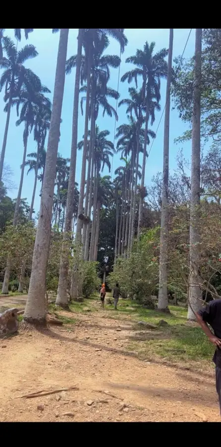
- Aburi hosts the oldest botanical gardens in Ghana, established in 1890.
- Geologically, the ridge is part of the Precambrian Togo System.
- The region was the birthplace of the modern cocoa industry in Ghana.
- The ridge trails are popular for weekend hiking trips from nearby Accra.
- Tetteh Quarshie planted Ghana's first cocoa seeds here in 1879.
Explore nearby
Notable places around
Route planner — Car & Motorhome
Where do you start? We build the route here, with stops and country notes along the way.
© OpenStreetMap contributors · OpenRouteService
Sights in the town Akuapem Ridge (1)
Sights nearby
Frequently asked questions
What makes the Akuapem Ridge special?
What tourist attraction is located there?
How is the weather compared to Accra?
Can you stay overnight there?
What are the main products of the region?
Akuapem Ridge: where is it located?
Akuapem Ridge: when is the best time to visit?
Akuapem Ridge: why is it worth visiting?

Nearby cities


History & landmarks
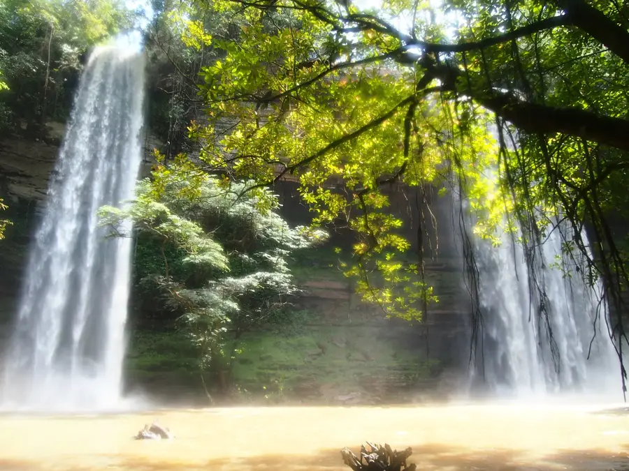
Nature
More places