Ü30 Party Lounge - The Original
The ultimate party for everyone over 30: dance to the best hits in a relaxed lounge atmosphere.
Plizio Visual Lab
Weather…
Water temperature…
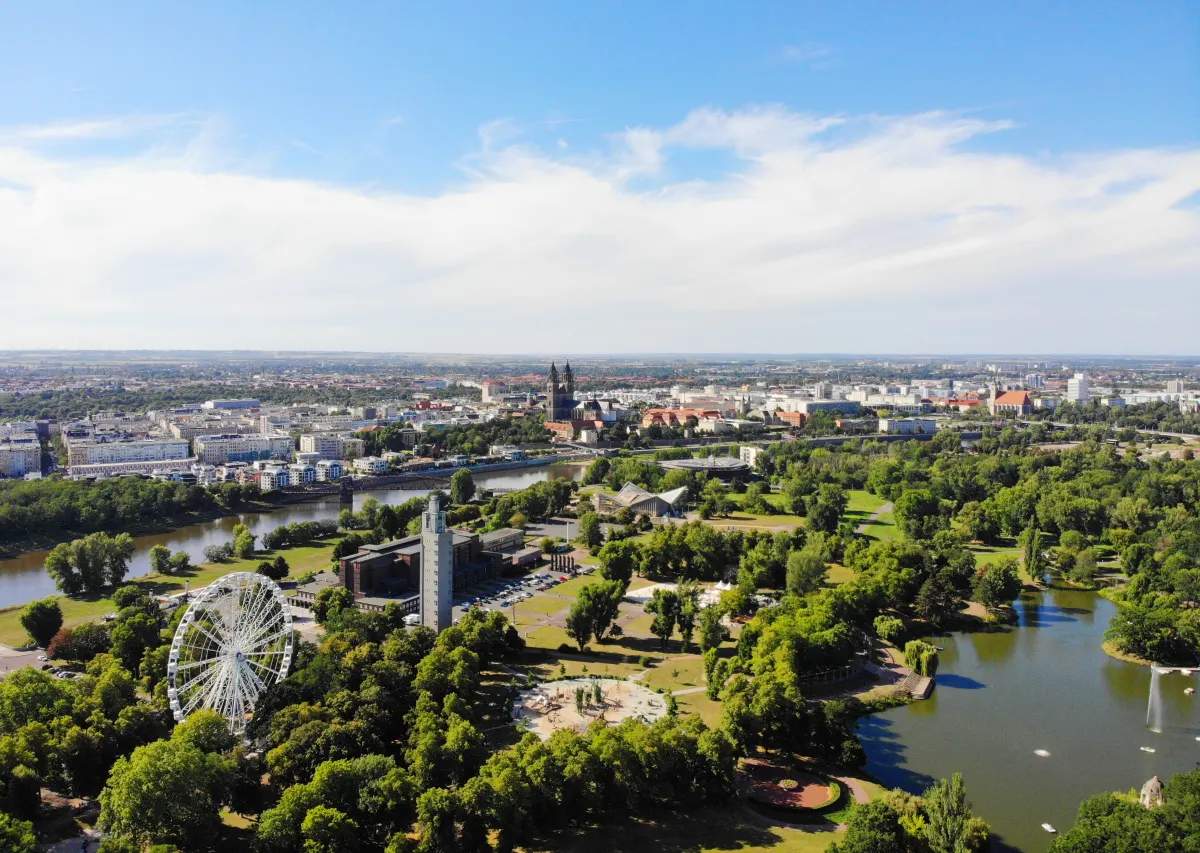
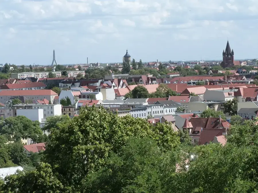
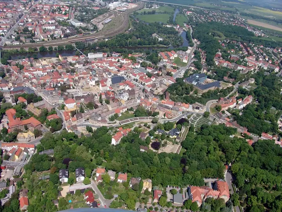
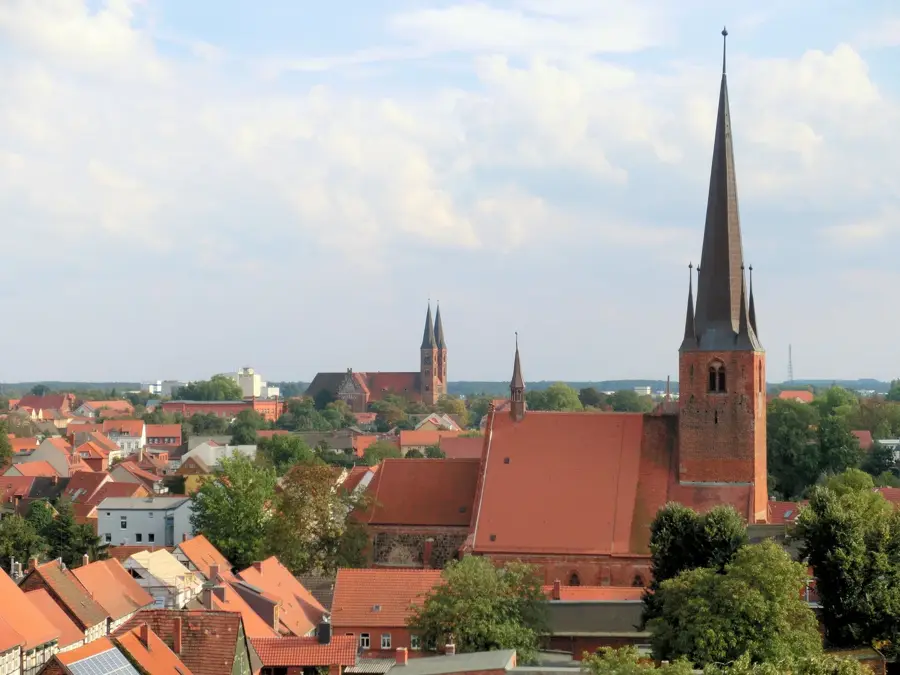
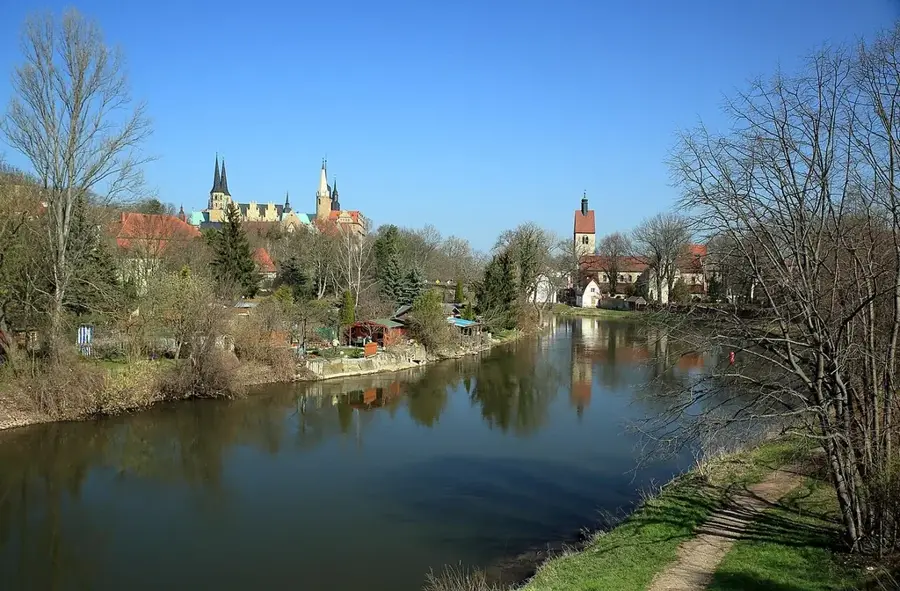
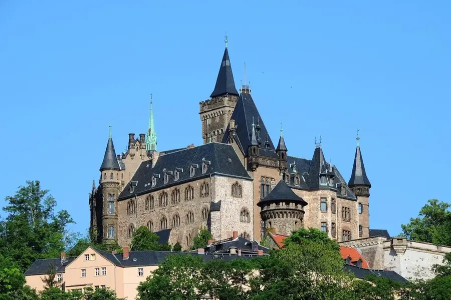
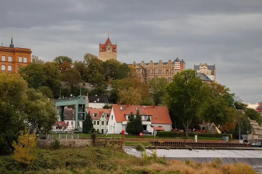
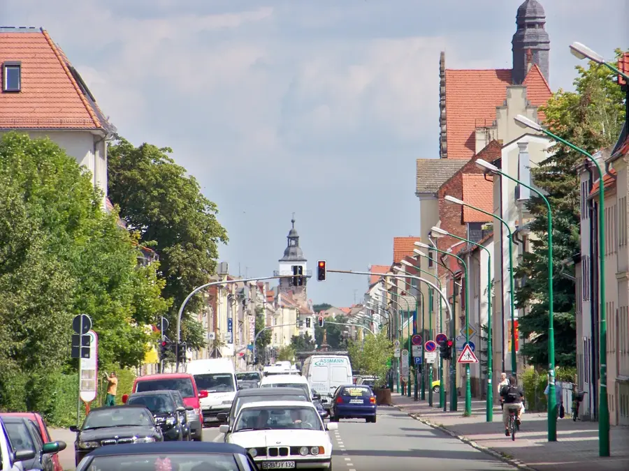
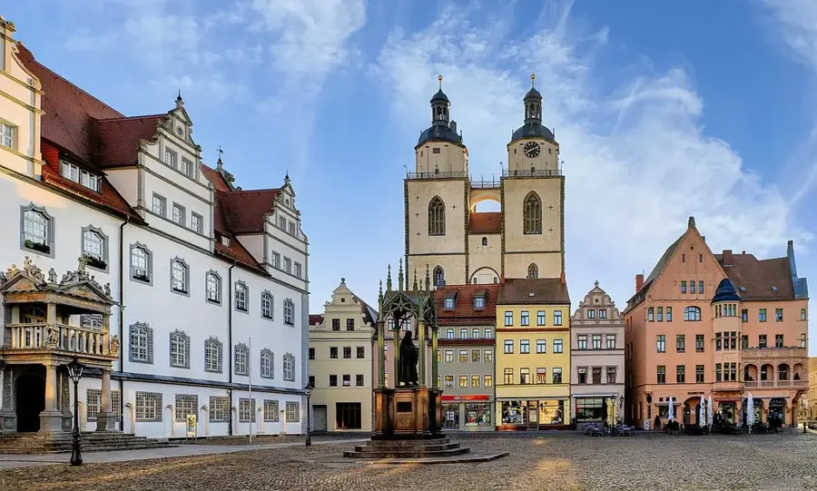
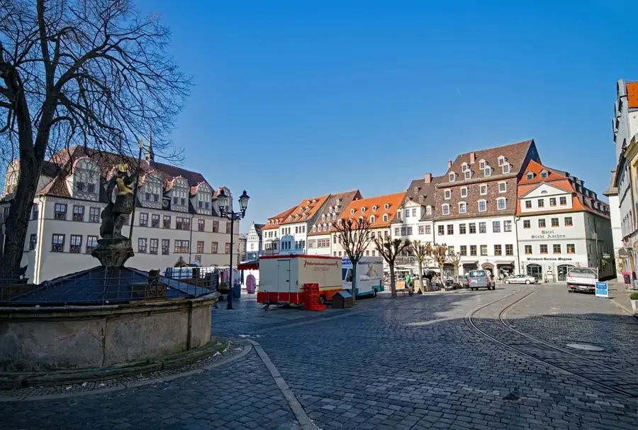
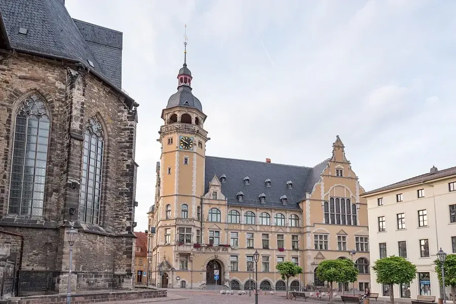
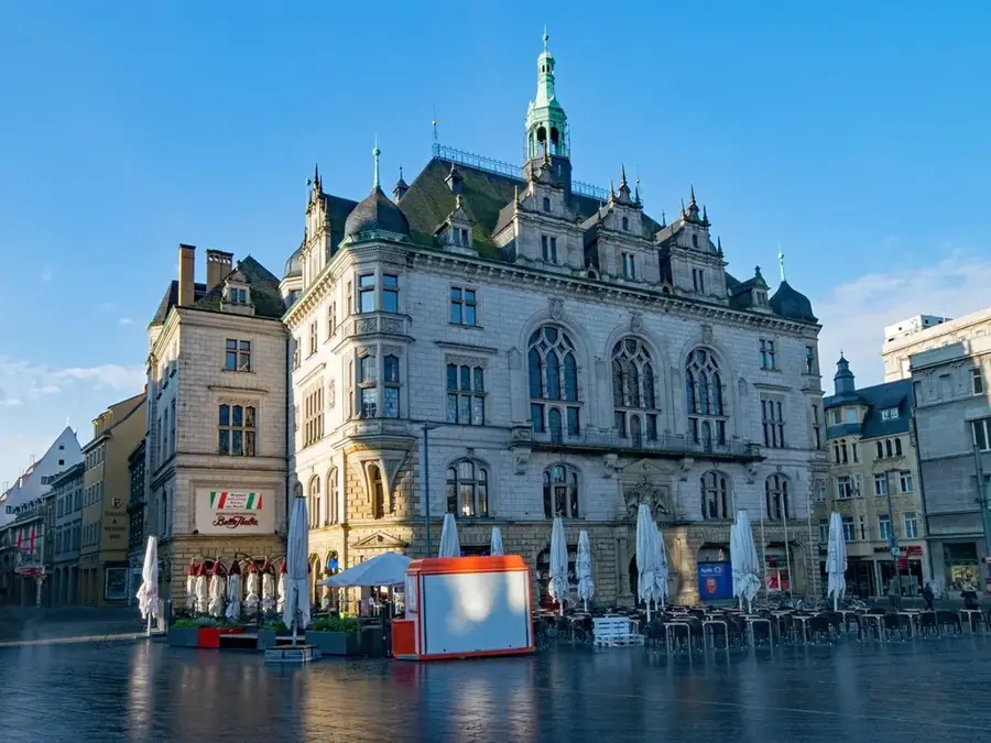
The Saale, with a length of 413 kilometers, is the most significant tributary of the Elbe and a defining feature of southern and eastern Saxony-Anhalt. Originating in the Fichtel Mountains, the river flows through deep-cut valleys and broad floodplains before joining the Elbe near Barby. In Saxony-Anhalt, the Saale passes through a rich cultural landscape characterized by numerous castles, fortresses, and historic cities such as Naumburg, Merseburg, and Halle. The lower Saale valley is particularly famous for the Saale-Unstrut wine region, Germany's northernmost quality wine-growing area. During the Middle Ages, the Saale was a vital trade route, while today it is a favorite destination for water-based tourism, including canoeing and river cruises. Ecologically, the Saale floodplains provide essential habitats for rare species like the beaver and the kingfisher. The river landscape is also easily explored via the Saale Cycle Route, which is regarded as one of Germany's most diverse long-distance biking paths.
The most pleasant time to visit is Jun–Aug.
| Jan | Feb | Mar | Apr | May | Jun | Jul | Aug | Sep | Oct | Nov | Dec | |
|---|---|---|---|---|---|---|---|---|---|---|---|---|
| Avg °C | 0 | 1 | 4 | 9 | 14 | 18 | 20 | 19 | 15 | 10 | 5 | 1 |
| Rain mm | 48 | 33 | 41 | 32 | 59 | 54 | 76 | 60 | 54 | 45 | 50 | 47 |
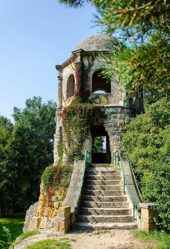
Notable places around
Where do you start? We build the route here, with stops and country notes along the way.
© OpenStreetMap contributors · OpenRouteService