Plizio Visual Lab
Devil's Wall
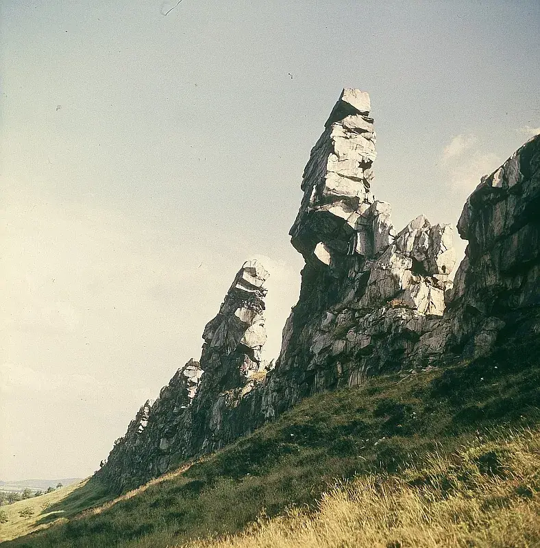
The Devil's Wall (Teufelsmauer) in the Harz foreland is a striking sandstone formation about 20 kilometers long, stretching from Ballenstedt through Blankenburg to Thale. This geological anomaly was created by the uplifting of rock layers at the northern edge of the Harz Mountains during the Upper Cretaceous period, approximately 85 million years ago. The wall consists of hard sandstone that resisted erosion more effectively than the surrounding softer rock. Numerous legends surround the origin of these bizarre rocks, often linking them to a pact between God and the Devil. Particularly impressive sections include the 'Hamburger Wappen' near Timmenrode and the 'Königsstein' formation. As early as 1833, the Devil's Wall was placed under protection by the district administrator of Blankenburg, making it one of the oldest nature reserves in Germany. Today, it is a popular destination for hikers and has spectacular views of the Harz Mountains.
- Location: Saxony-Anhalt, Germany
- Top sights: Teufelsmauer Königstein · Streichelzoo · Teufelsmauer und Bode nordöstlich Thale
- Nearby: Quedlinburg (6 km)
Best time to visit & climate
The most pleasant time to visit is Jun–Aug.
| Jan | Feb | Mar | Apr | May | Jun | Jul | Aug | Sep | Oct | Nov | Dec | |
|---|---|---|---|---|---|---|---|---|---|---|---|---|
| Avg °C | 0 | 1 | 4 | 9 | 13 | 17 | 19 | 19 | 15 | 10 | 5 | 1 |
| Rain mm | 56 | 36 | 43 | 33 | 60 | 55 | 79 | 57 | 54 | 49 | 51 | 55 |
📋 Practical info
Geography
Facts
- Total length of the formation is approx. 20 kilometers
- Under nature protection since the year 1833
- Consists of quartz sandstone from the Upper Cretaceous
- First cartographic mention in the year 1578
- Hamburger Wappen is the highest rock group
- Part of the Harz-Braunschweiger Land Geopark
Explore nearby
Notable places around
Route planner — Car & Motorhome
Where do you start? We build the route here, with stops and country notes along the way.
© OpenStreetMap contributors · OpenRouteService
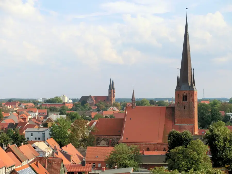
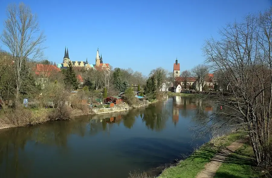
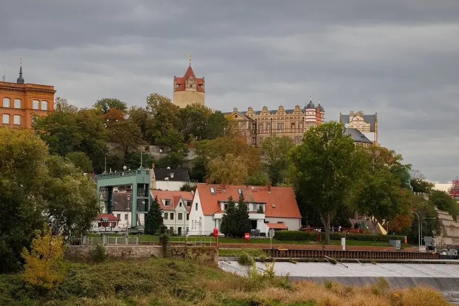
Sights in the town Devil's Wall (10)
Mühlenberg
Hill near Thale, Germany, with hiking trails and a view.
Warnstedter Mühle
Windmill, presumably historic, in the Thale region.
Elzeberg
Hill in Germany, part of the landscape around the Devil's Wall.
Altweiberbrunnen
Artwork or fountain, possibly linked to a local legend.
Klostermuseum🏛 museum
Museum in a former monastery, showcasing regional history and art.
St. Andreas Kirche
Church in Thale, Saxony-Anhalt, Germany, used for Protestant services.
Sights nearby
Frequently asked questions
How long is the hiking trail along the Teufelsmauer?
Does it cost an entry fee to visit the Teufelsmauer?
Which section of the Teufelsmauer is the most spectacular?
Is the hike at the Teufelsmauer difficult?
Where can you park for a visit to the Teufelsmauer?
Devil's Wall: where is it located?
Devil's Wall: what is there to see?
Devil's Wall: when is the best time to visit?
Devil's Wall: why is it worth visiting?

Nearby cities