Plizio Visual Lab
Fläming
Weather…
Water temperature…
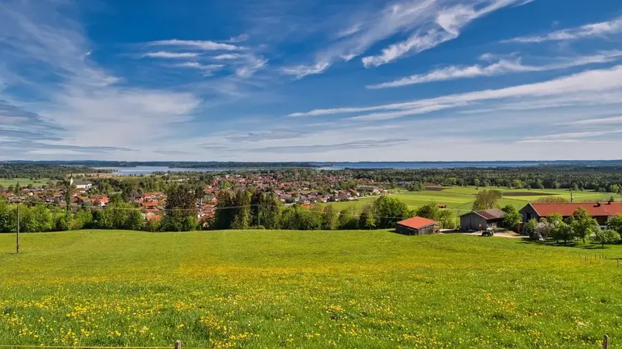
The Fläming is a glaciated landscape and a low mountain range spanning the German states of Brandenburg and Saxony-Anhalt. Formed during the Saale glaciation, the terrain consists primarily of sandy deposits and gravel, reaching its highest point at the 200-meter-high Hagelberg. The region derives its name from Flemish settlers who migrated here in the 12th century following the establishment of the Margraviate of Brandenburg. Historically, it served as a borderland between Slavic and Germanic territories, a legacy still visible in the numerous medieval fieldstone churches scattered across the countryside. The landscape is defined by extensive pine forests, gentle ridges, and unique dry valleys known as Rummeln. Today, the area is protected as a nature park and is internationally recognized for the Flaeming-Skate, a 230-kilometer network that forms Europe's longest continuous skating and cycling path.
- Location: Brandenburg, Germany
- Top sights: Oberlaubenstall Lichterfelde · Dorfkirche Lichterfelde · Dorfkirche Werbig
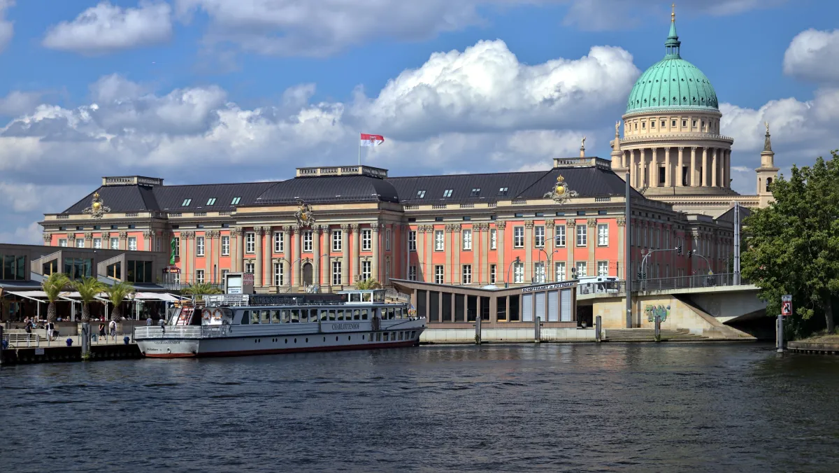
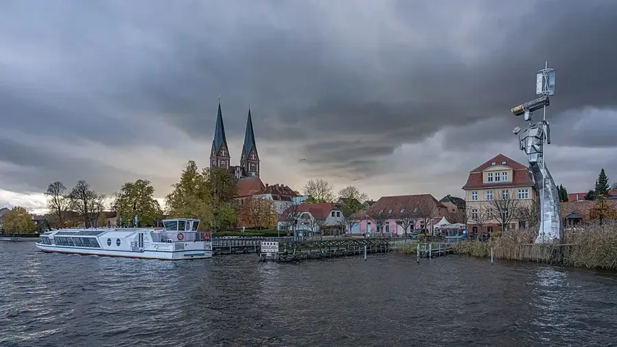
- Nearby: Jüterbog (10 km)
Best time to visit & climate
The most pleasant time to visit is Jun–Aug.
| Jan | Feb | Mar | Apr | May | Jun | Jul | Aug | Sep | Oct | Nov | Dec | |
|---|---|---|---|---|---|---|---|---|---|---|---|---|
| Avg °C | -1 | 1 | 4 | 9 | 14 | 18 | 21 | 20 | 15 | 10 | 5 | 1 |
| Rain mm | 53 | 36 | 40 | 29 | 55 | 55 | 79 | 60 | 50 | 47 | 50 | 47 |
📋 Practical info
Geography
Facts
- Hagelberg is the highest elevation in the Fläming at 200 meters.
- The large-scale Flemish settlement began around the year 1150.
- The Flaeming-Skate features a continuous network of 230 kilometers.
- The High Fläming Nature Park is home to rare great bustards.
- The region covers an area of approximately 2,000 square kilometers.
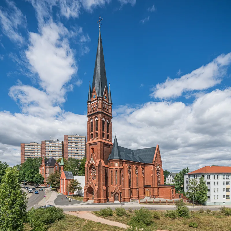
- There are over 50 historic fieldstone churches in the region.
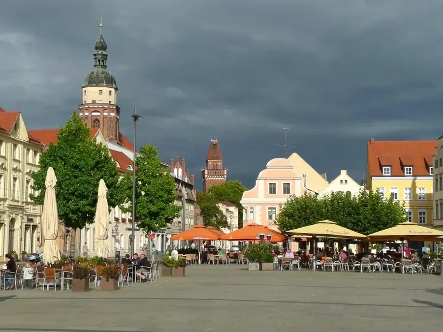
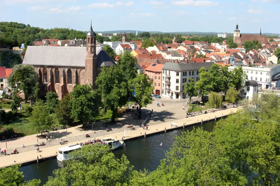
Explore nearby
Notable places around
Route planner — Car & Motorhome
Where do you start? We build the route here, with stops and country notes along the way.
© OpenStreetMap contributors · OpenRouteService
Sights in the town Fläming (4)
Dorfkirche Riesdorf
Church building in Teltow-Fläming district, Brandenburg. Village church with historic furnishings.
Sights nearby
Frequently asked questions
What is special about the Fläming?
Is Fläming good for skating?
Are there castles in the Fläming?
Which vegetable is typical for the region?
Where does the name Fläming come from?
Fläming: where is it located?
Fläming: what is there to see?
Fläming: when is the best time to visit?
Fläming: why is it worth visiting?

Nearby cities