Plizio Visual Lab
Fläming
Hava durumu…
Su sıcaklığı…
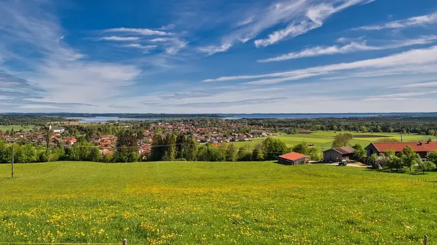
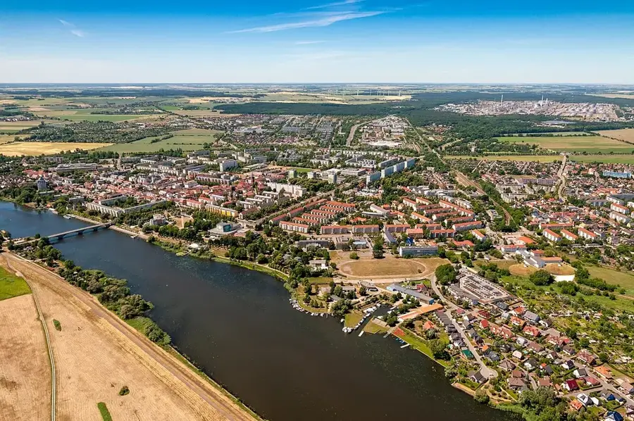
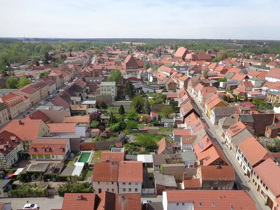
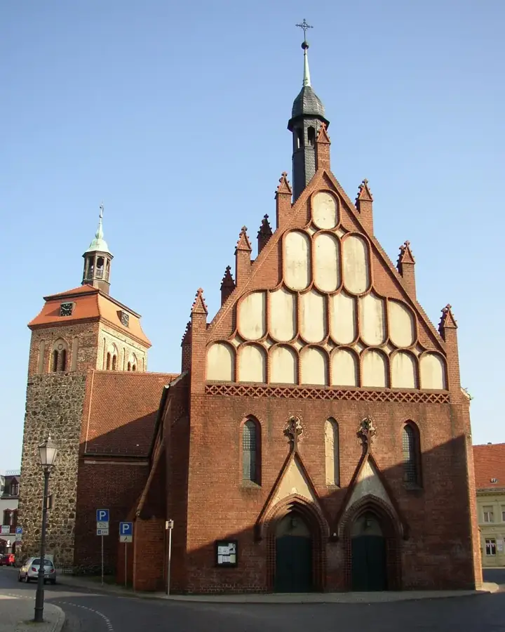
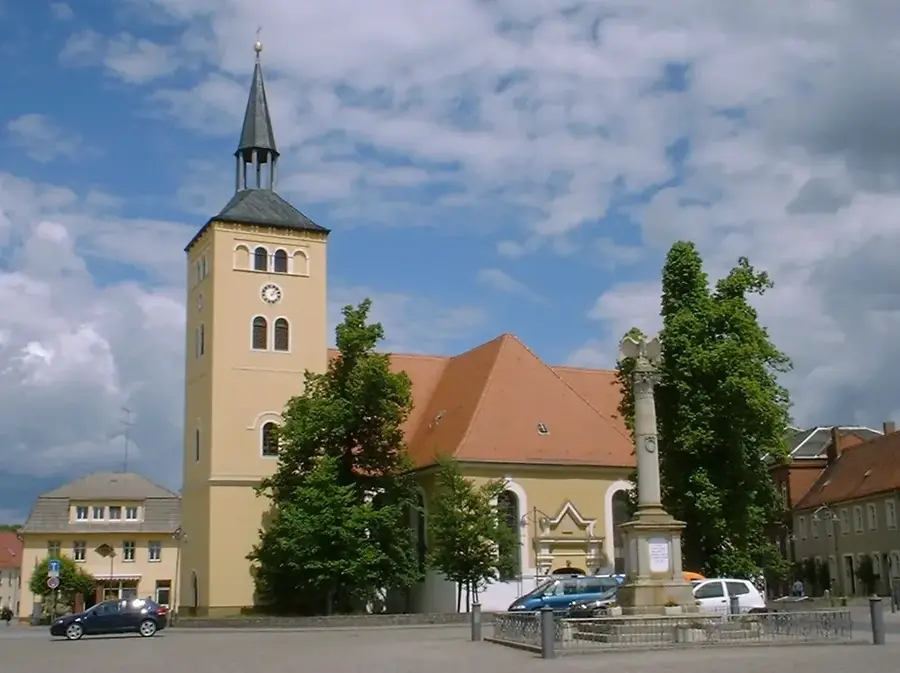
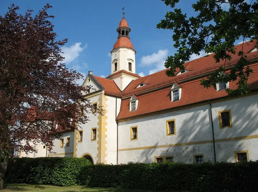
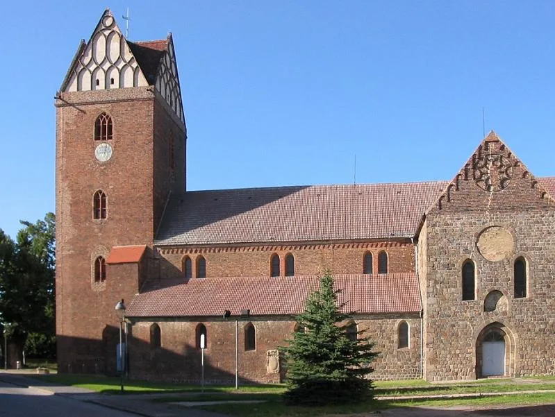
Fläming, Brandenburg'un güneybatısında ve Saksonya-Anhalt'ın doğusunda buz devri etkileriyle şekillenmiş bir tepelik manzara ve bir yükseltidir. Bölge Saale buzul çağında oluşmuştur ve Hagelberg'de 200 metre yüksekliğe ulaşan kumlu birikintilerden oluşur. Adı, 12. yüzyılda Albrecht der Bär tarafından Mark Brandenburg'un kurulmasından sonra bölgeye getirilen Flaman (flämisch) yerleşimcilerden türetilmiştir. Tarihsel olarak Fläming, Slav ve Alman kabileleri arasında bir sınır bölgesiydi; bu durum bugün hala tipik tarla taşı kiliselerinin (Feldsteinkirchen) mimarisinde görülmektedir. Manzara geniş çam ormanları, hafif tepeler ve 'Rummeln' denilen kuru vadilerle şekillenmiştir. Bugün Fläming bir doğa parkı olarak korunmaktadır ve yaklaşık 230 kilometre uzunluğuyla Avrupa'nın en büyük kesintisiz paten ve bisiklet yolu ağı olan Flaeming-Skate ile tanınır.
Haritada keşfet
Almanya hakkında ne kadar bilgilisin?
Etkileşimli haritada 10 çeşitli zorlukta şehirleri, manzaraları ve bölgeleri bul.
Seyahatin, senin anın
Fläming’den bir kartpostal
Kendi fotoğrafını yerel posta puluyla kişisel bir kartpostala çevir. Ücretsiz ve kayıt gerektirmez.
Kartpostal oluştur- Konum: Brandenburg, Almanya
- Öne çıkanlar: Oberlaubenstall Lichterfelde · Dorfkirche Lichterfelde · Dorfkirche Werbig
- Yakınlar: Jüterbog (10 km)
En iyi ziyaret zamanı & iklim
En keyifli dönem: Haz–Ağu.
| Oca | Şub | Mar | Nis | May | Haz | Tem | Ağu | Eyl | Eki | Kas | Ara | |
|---|---|---|---|---|---|---|---|---|---|---|---|---|
| Ort. °C | -1 | 1 | 4 | 9 | 14 | 18 | 21 | 20 | 15 | 10 | 5 | 1 |
| Yağmur mm | 53 | 36 | 40 | 29 | 55 | 55 | 79 | 60 | 50 | 47 | 50 | 47 |
📋 Pratik bilgiler
Coğrafya
Gerçekler
- Hagelberg, 200 metre ile Fläming'deki en yüksek noktadır.
- Flamanlar tarafından yerleşim 1150 yılı civarında yoğun bir şekilde başlamıştır.
- Flaeming-Skate, toplam 230 kilometrelik bir yol ağını kapsar.
- Naturpark Hoher Fläming'de nadir görülen büyük toylar (Großtrappen) yaşar.
- Bölge yaklaşık 2.000 kilometrekarelik bir alanı kapsar.
- Bölge için tipik olan 50'den fazla orta çağ tarla taşı kilisesi bulunmaktadır.
Yakınları keşfet
Çevredeki dikkat çekici yerler
Rota planlayıcı — Araba & Karavan
Nereden başlıyorsunuz? Burada rota oluşturuyoruz, yol boyunca duraklar ve ülke notları ile.
© OpenStreetMap contributors · OpenRouteService
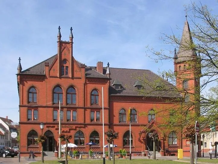
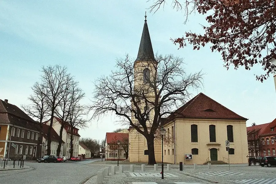
Kasabadaki görülecek yerler Fläming (4)
Dorfkirche Riesdorf
Brandenburg, Teltow-Fläming ilçesinde kilise binası. Tarihî döşemelere sahip köy kilisesi.
Çevredeki gezilecek yerler
Sıkça sorulan sorular
Fläming’in özelliği nedir?
Fläming paten için uygun mu?
Fläming’de kaleler var mı?
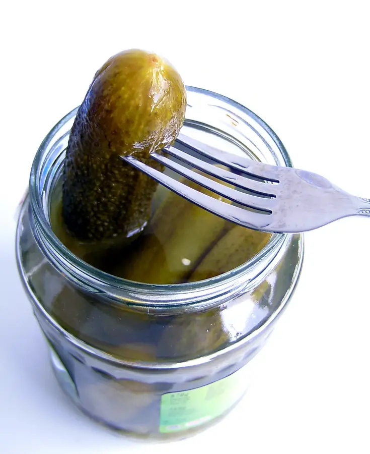
Bölgede hangi sebze tipiktir?
Fläming adını nereden alır?
Fläming: nerede yer alıyor?
Fläming: gezilecek yerler neler?
Fläming: en iyi ziyaret zamanı ne zaman?
Fläming: neden ziyaret edilmeye değer?

Yakındaki şehirler