Plizio Visual Lab
Zugspitzplatt
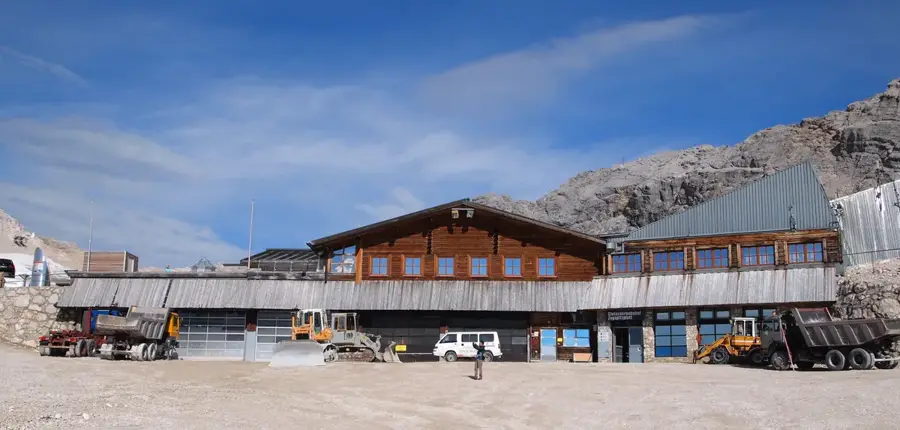
The Zugspitzplatt is a high-alpine karst plateau located directly below the summit of the Zugspitze, Germany's highest mountain. Situated at an altitude between 2,000 and 2,650 meters, it is characterized by a barren yet fascinating lunar landscape of limestone. Geologically, the plateau is the result of millennia of karstification and glacial erosion. It is home to the remnants of Bavarian glaciers, such as the Schneeferner, which have shrunk significantly due to climate change. The Platt serves as a central hub for tourism, housing the terminus of the Bavarian Zugspitze Railway and functioning as Germany's highest ski resort in winter. In addition to sports, the area is an important location for scientific research. The Schneefernerhaus, a former hotel, now operates as an environmental research station monitoring the atmosphere and permafrost. The vast plateau features a striking contrast to the steeply rising summit walls of the Wetterstein Mountains.
- Location: Bavaria, Germany
- Top sights: Schneefernerkopf · Südliche Wetterspitze · Mittlere Plattspitze
- Nearby: Garmisch-Partenkirchen (12 km)
Best time to visit & climate
The most pleasant time to visit is Jul–Sep.
| Jan | Feb | Mar | Apr | May | Jun | Jul | Aug | Sep | Oct | Nov | Dec | |
|---|---|---|---|---|---|---|---|---|---|---|---|---|
| Avg °C | -4 | -3 | 1 | 6 | 10 | 14 | 15 | 15 | 11 | 7 | 2 | -3 |
| Rain mm | 83 | 65 | 81 | 84 | 149 | 175 | 172 | 185 | 119 | 91 | 70 | 74 |
📋 Practical info
Geography
Facts
- The plateau is situated at an elevation of 2,000 to 2,650 meters.
- It is the site of Germany's highest-altitude ski resort.
- The Schneeferner, one of the last Bavarian glaciers, is located here.
- The Bavarian Zugspitze Railway reaches its terminus here after 11.5 km.
- The Schneefernerhaus now serves as an environmental research station.
- Geologically, the plateau consists predominantly of Wetterstein limestone.
Explore nearby
Notable places around
Route planner — Car & Motorhome
Where do you start? We build the route here, with stops and country notes along the way.
© OpenStreetMap contributors · OpenRouteService
Sights in the town Zugspitzplatt (4)
Familienbad und Sauna Ehrwald🎡 recreation
A water park and sauna at Zugspitzplatt.
Sights nearby
Frequently asked questions
What is the Zugspitzplatt?
Can you play in the snow there in summer?
How do you get to the Platt?
Are there restaurants there?
Is there a church on the Platt?
Zugspitzplatt: where is it located?
Zugspitzplatt: what is there to see?
Zugspitzplatt: when is the best time to visit?
Zugspitzplatt: why is it worth visiting?

Nearby cities