Plizio Visual Lab
Salzach
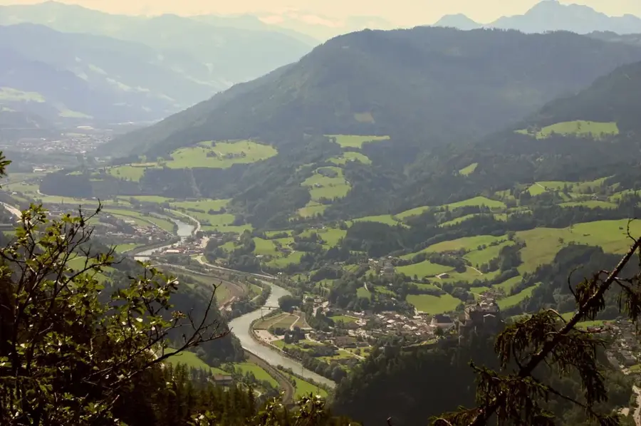
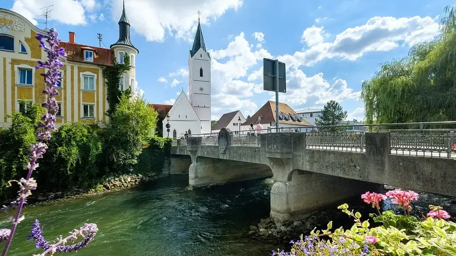
The Salzach, stretching 225 kilometers, is the primary tributary of the Inn and significantly shapes the landscape of the Eastern Alps. It originates in the Kitzbühel Alps at an elevation of approximately 2,300 meters and flows through the Austrian states of Salzburg and Upper Austria, as well as southeastern Bavaria. Historically, the river was vital for the transportation of salt mined in Hallein, which accounts for the river's name. Along a stretch of about 59 kilometers, the Salzach forms the international border between Germany and Austria. The city of Salzburg owes its founding and historical wealth to its strategic location along this waterway. Since the 19th century, the river has been extensively regulated and developed with numerous hydroelectric power plants. Today, the Salzach serves as both a source of renewable energy and a major recreational area. Near its confluence with the Inn, the river supports ecologically valuable alluvial forest regions.
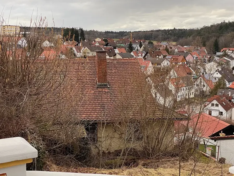
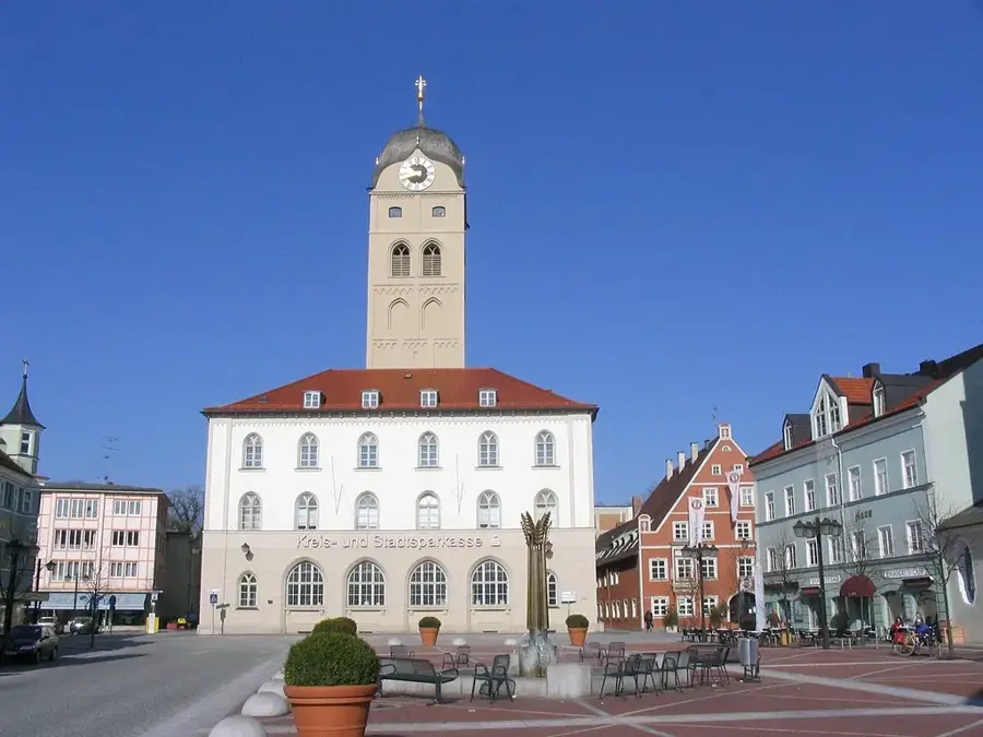
- Location: Bavaria, Germany
- Top sights: St. Ulrich · St. Laurentius · Haus der Kultur (Altes Schulhaus)
- Nearby: Freilassing (5 km)
Best time to visit & climate
The most pleasant time to visit is Jun–Aug.
| Jan | Feb | Mar | Apr | May | Jun | Jul | Aug | Sep | Oct | Nov | Dec | |
|---|---|---|---|---|---|---|---|---|---|---|---|---|
| Avg °C | -1 | -1 | 4 | 9 | 13 | 17 | 19 | 18 | 14 | 9 | 4 | 0 |
| Rain mm | 92 | 72 | 84 | 72 | 136 | 158 | 146 | 153 | 113 | 90 | 69 | 79 |
📋 Practical info
Geography
Facts
- The total length of the river is exactly 225 kilometers.
- The Salzach drainage basin covers approximately 6,734 square kilometers.
- The Salzach is the highest-volume tributary of the Inn.
- Commercial salt transport on the river officially ended in 1891.
- The river forms the German-Austrian border for 59 kilometers.
- The average discharge at the confluence is 250 cubic meters per second.
Explore nearby
Notable places around
Route planner — Car & Motorhome
Where do you start? We build the route here, with stops and country notes along the way.
© OpenStreetMap contributors · OpenRouteService
Sights in the town Salzach (10)
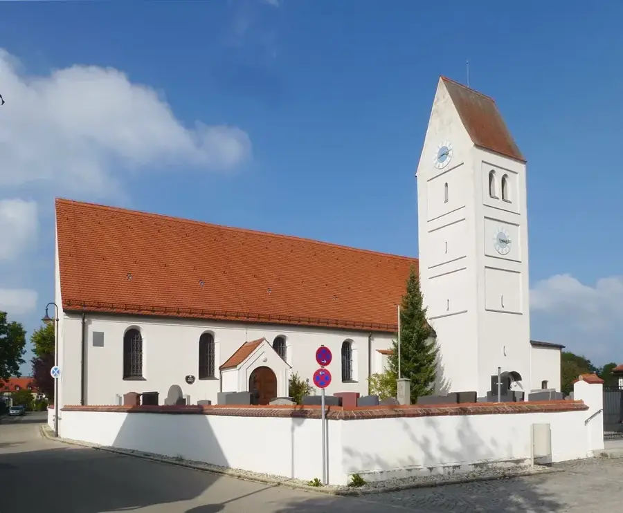
St. Erasmus
Filial church in Bicheln, Ainring, dedicated to Saint Erasmus.
Högl
Mountain in the Berchtesgadener Land district.
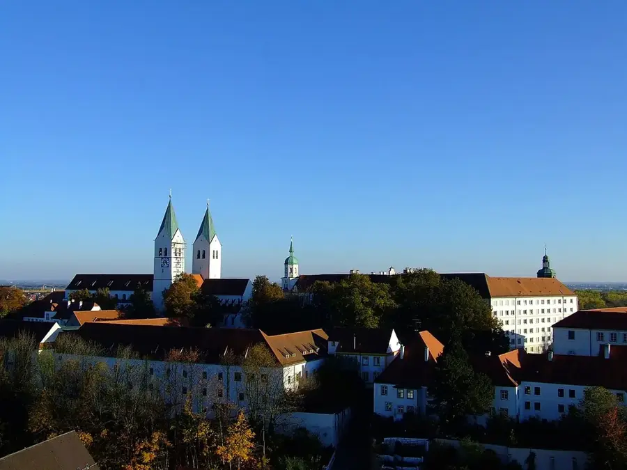
Salzburgblick
Viewpoint overlooking the city of Salzburg.
Beobachtungsturm Vogelthenn
Observation tower in Ainring, used for birdwatching.
Erlebnisbad Ainring
Outdoor swimming pool with slides and pools in Ainring.
Moos-Observatorium
Viewpoint in the Moos area near Ainring.
Sights nearby
Frequently asked questions
Which famous city does the Salzach flow through?
Which castle on the Salzach is the longest in the world?
Can you go cycling along the Salzach?
What does the name Salzach mean?
Where does the Salzach flow into?
Salzach: where is it located?
Salzach: what is there to see?
Salzach: when is the best time to visit?
Salzach: why is it worth visiting?

Nearby cities