Plizio Visual Lab
Franconian Forest
Weather…
Water temperature…
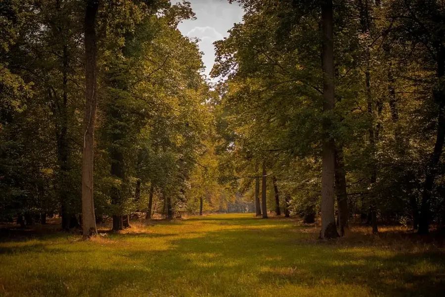
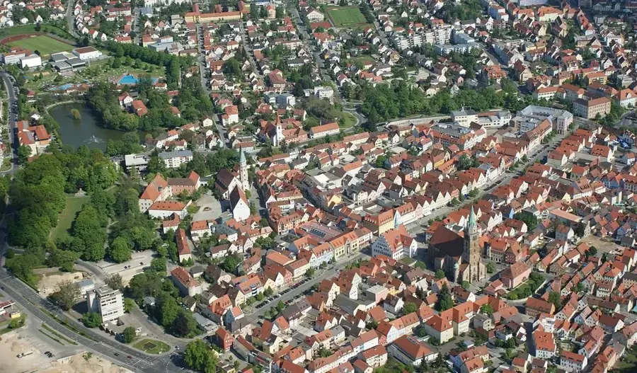
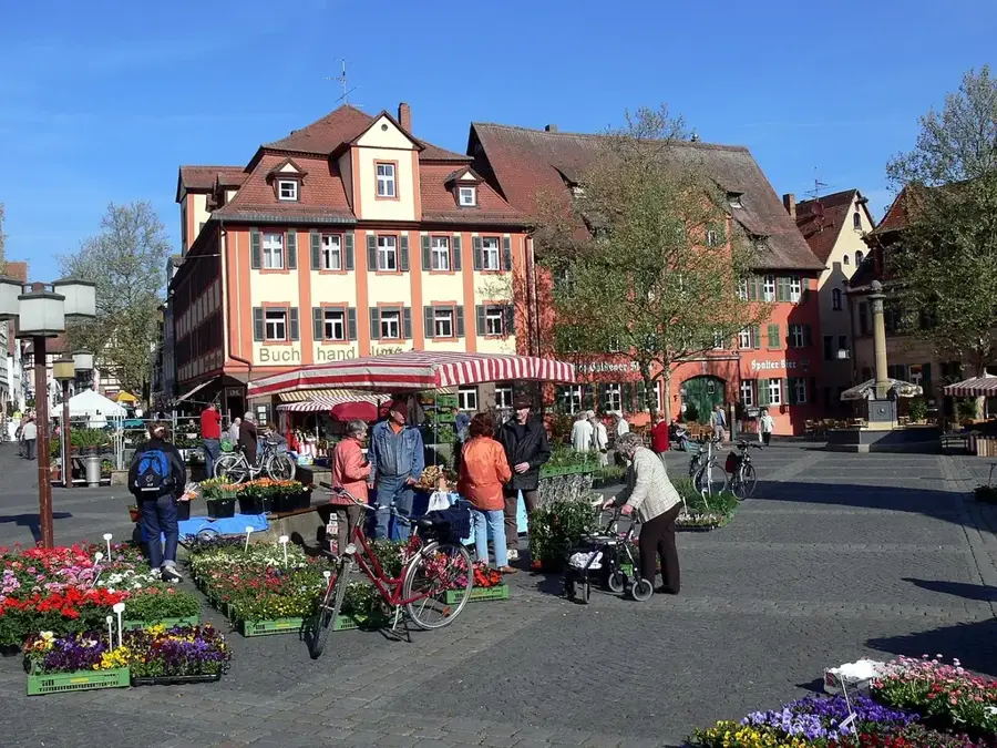
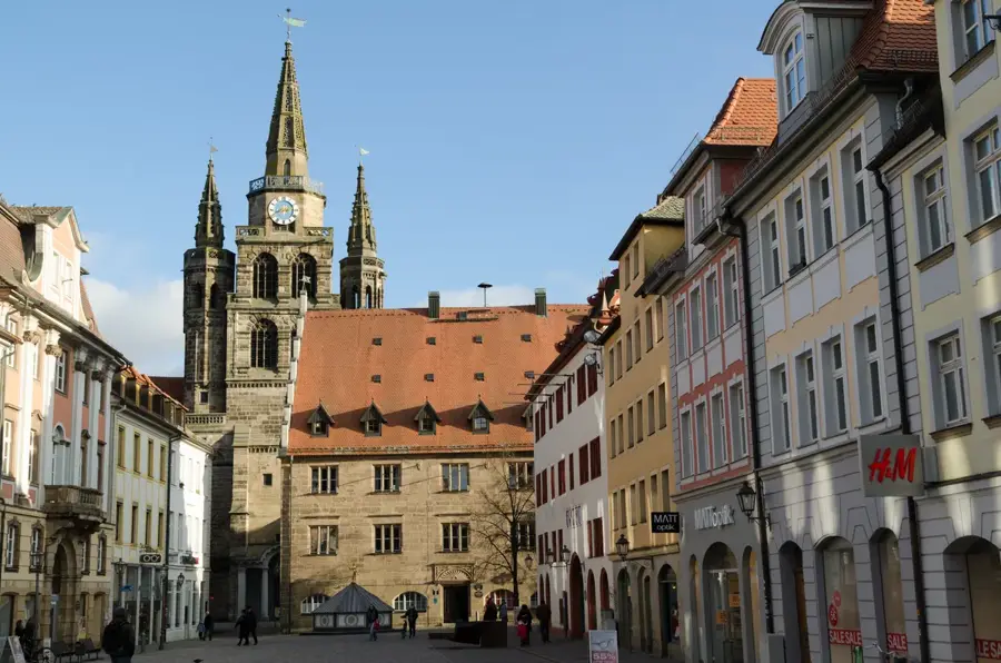
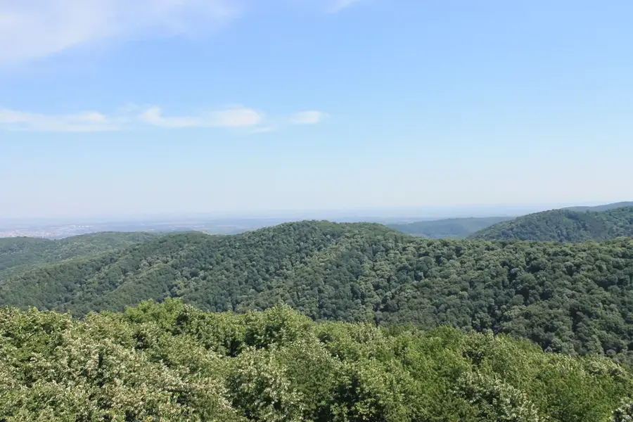
The Franconian Forest (Frankenwald) is an extensive low mountain range in northern Bavaria and an officially recognized nature park. Covering an area of approximately 1,023 square kilometers, it directly borders the Thuringian Slate Mountains. The landscape is characterized by wide plateaus, deeply incised valleys, and dense coniferous forests. Its highest peak is the Döbraberg, standing at 794 meters. Historically, the Franconian Forest was a center for timber rafting and slate mining, industries that significantly shaped regional culture and architecture. The so-called 'Slate Houses,' featuring unique cladding, are typical of the local building style. Today, the area is primarily known as a premier hiking destination and was the first in Bavaria to be certified as a 'Quality Hiking Region.' Ecologically, the nature park provides vital habitats for rare species such as the black stork. Numerous castles and ruins along the valleys testify to the strategic importance of the mountains during the Middle Ages.
- Location: Bavaria, Germany
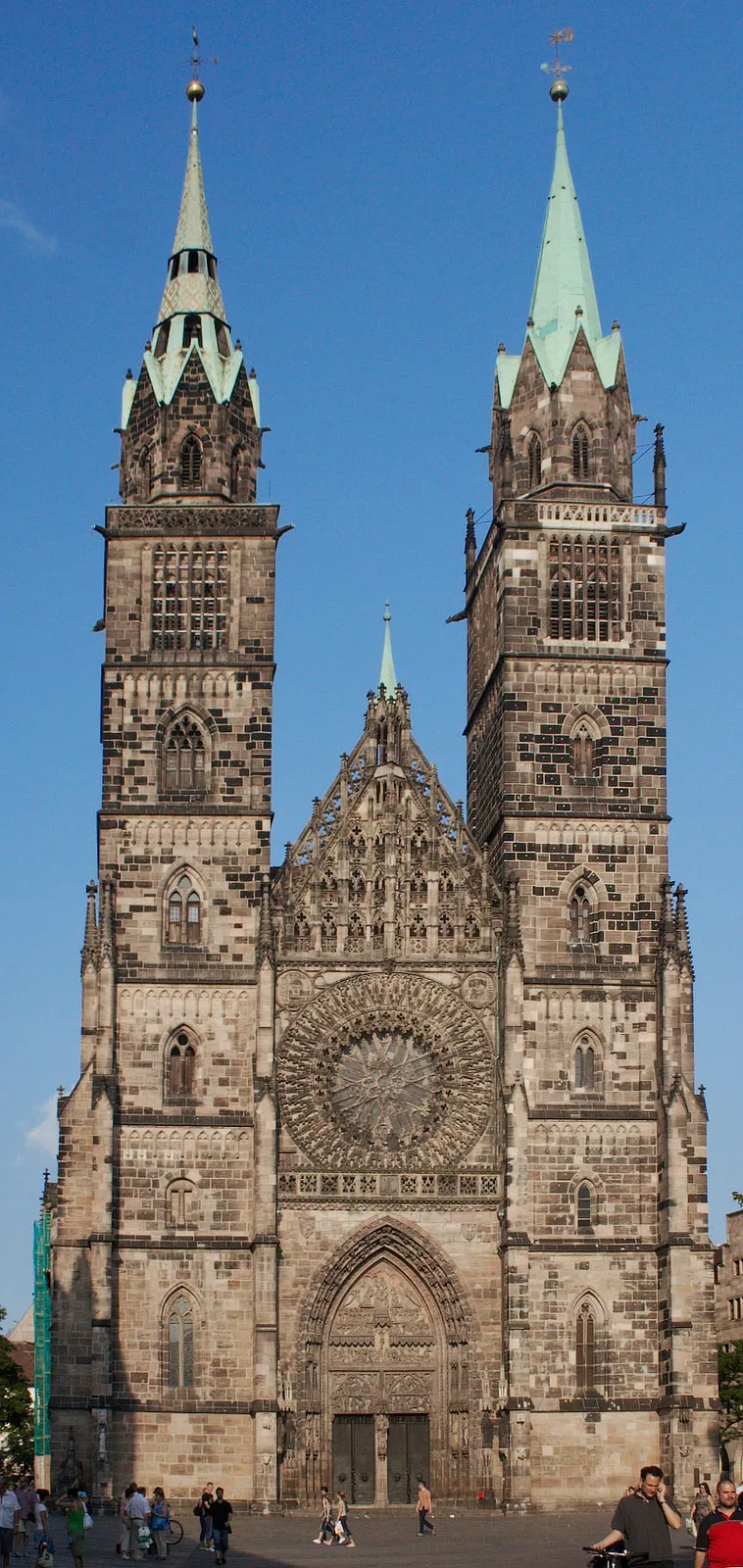
- Top sights: Zukunftswald · Schloss Heinersreuth · Burgstall Rauhenstein
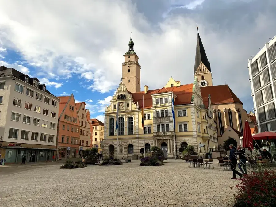
- Nearby: Helmbrechts (10 km)
Best time to visit & climate
The most pleasant time to visit is Jun–Aug.
| Jan | Feb | Mar | Apr | May | Jun | Jul | Aug | Sep | Oct | Nov | Dec | |
|---|---|---|---|---|---|---|---|---|---|---|---|---|
| Avg °C | -2 | -1 | 3 | 8 | 12 | 16 | 18 | 18 | 13 | 8 | 3 | -1 |
| Rain mm | 60 | 46 | 51 | 41 | 74 | 67 | 83 | 69 | 60 | 56 | 63 | 65 |
📋 Practical info
Geography
Facts
- The total area of the Franconian Forest Nature Park is 1,023 km².
- Döbraberg is the highest elevation at 794 meters.
- Over 600 kilometers of marked hiking trails traverse the area.
- The nature park was officially established in 1973.
- Approximately 80 percent of the area is covered by forest.
- Timber rafting was first mentioned in documents here in the 12th century.
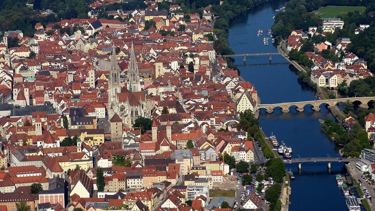
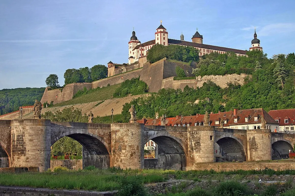
Explore nearby
Notable places around
Route planner — Car & Motorhome
Where do you start? We build the route here, with stops and country notes along the way.
© OpenStreetMap contributors · OpenRouteService
Sights in the town Franconian Forest (7)
Sights nearby
Frequently asked questions
What is special about hiking in the Franconian Forest?
Can you go rafting/floats there?
Which animals live in the Franconian Forest?
Are there places to eat in the forest?
When is the best time to visit?
Franconian Forest: where is it located?
Franconian Forest: what is there to see?
Franconian Forest: when is the best time to visit?
Franconian Forest: why is it worth visiting?

Nearby cities