Plizio Visual Lab
Turrialba
ℹ️Practical info — Turrialba
▾
🌤 Weather — 5 days
📍 Nearby
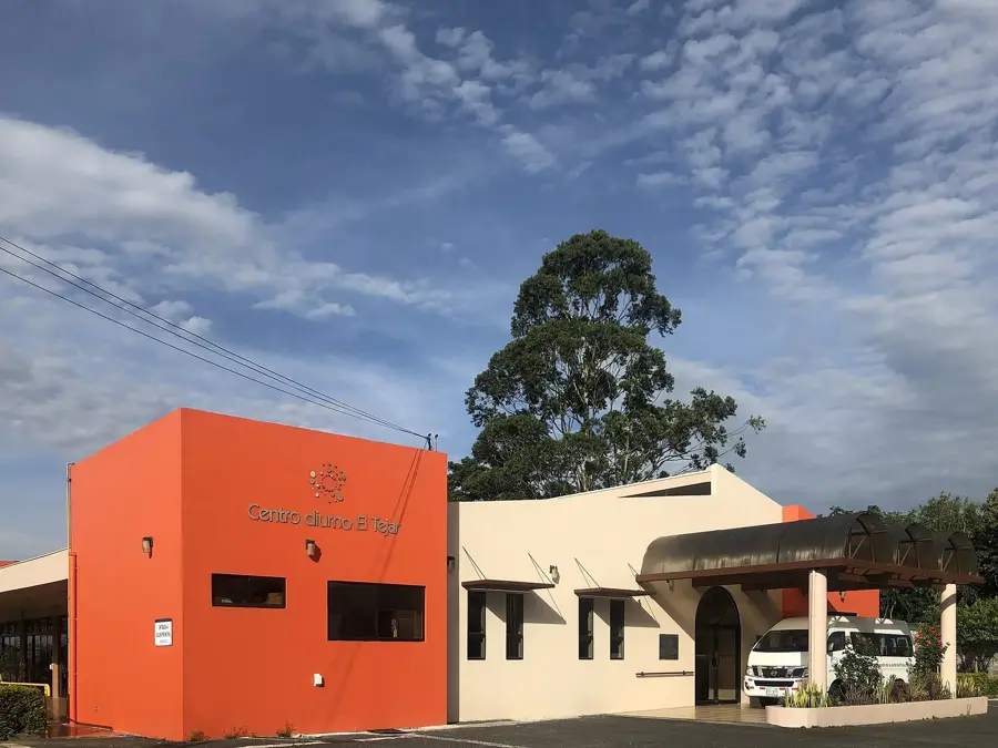
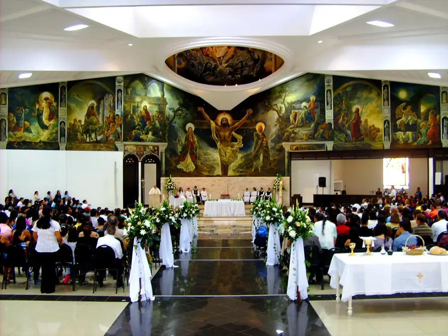
Sights nearby
💡 Tips
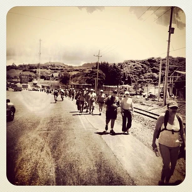
- The city is the white-water rafting capital of Costa Rica, primarily on the Pacuare River.
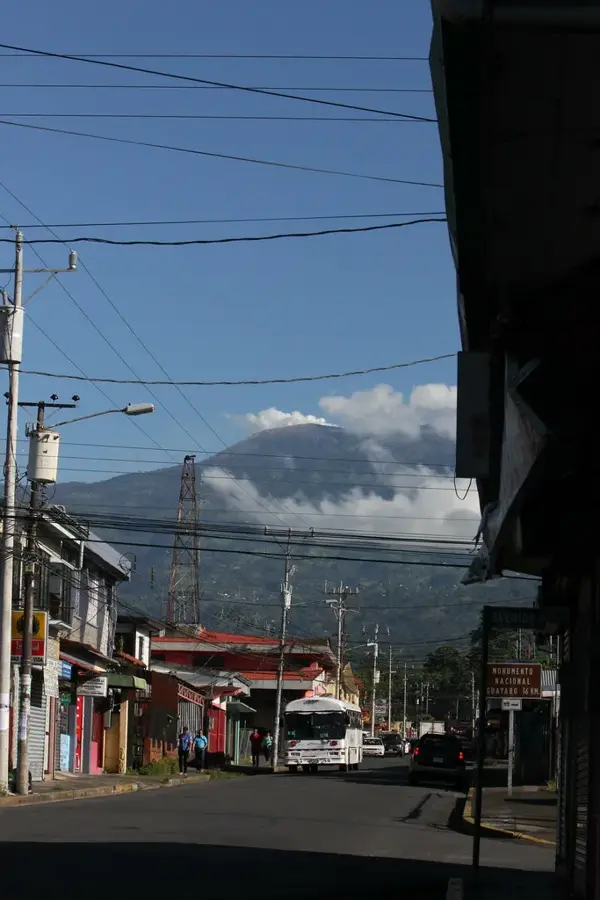
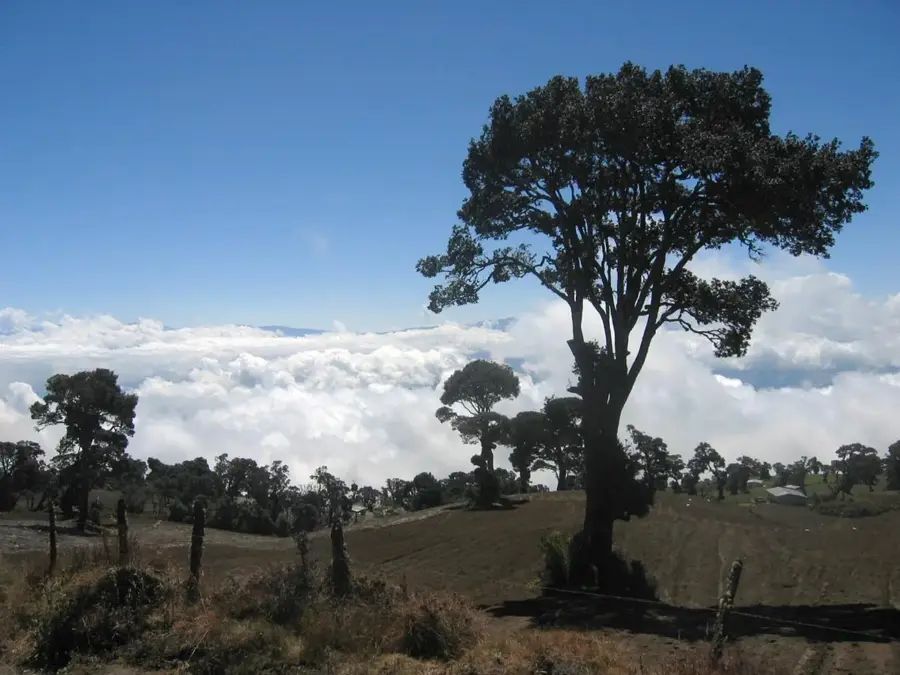
- Check the Turrialba Volcano's activity status before visiting, as the national park sometimes closes.
- The climate here is significantly warmer and more humid than the central valley.
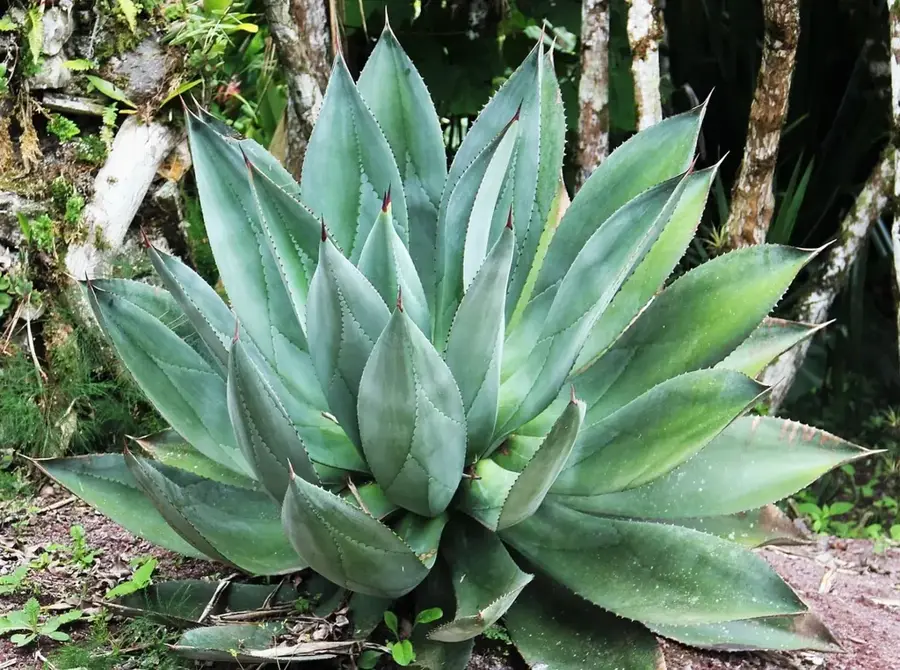
- Consider booking a tour at the CATIE botanical garden to see exotic tropical agriculture.
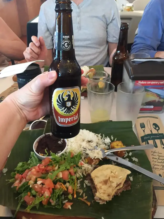
🍽 Food
A famous mild, squeaky cheese; buy it fresh from local dairies.
Grown locally and sold in many shops and roadside stands around town.
A Caribbean-style seafood stew sometimes found here due to the proximity to Limón.
🛍 Shopping · 🧘 Quiet spots
The ultimate local souvenir, available in almost any market or grocery store.
The region produces excellent high-altitude coffee, well-suited to take home.
Tranquil trails among exotic plants and research plantations.
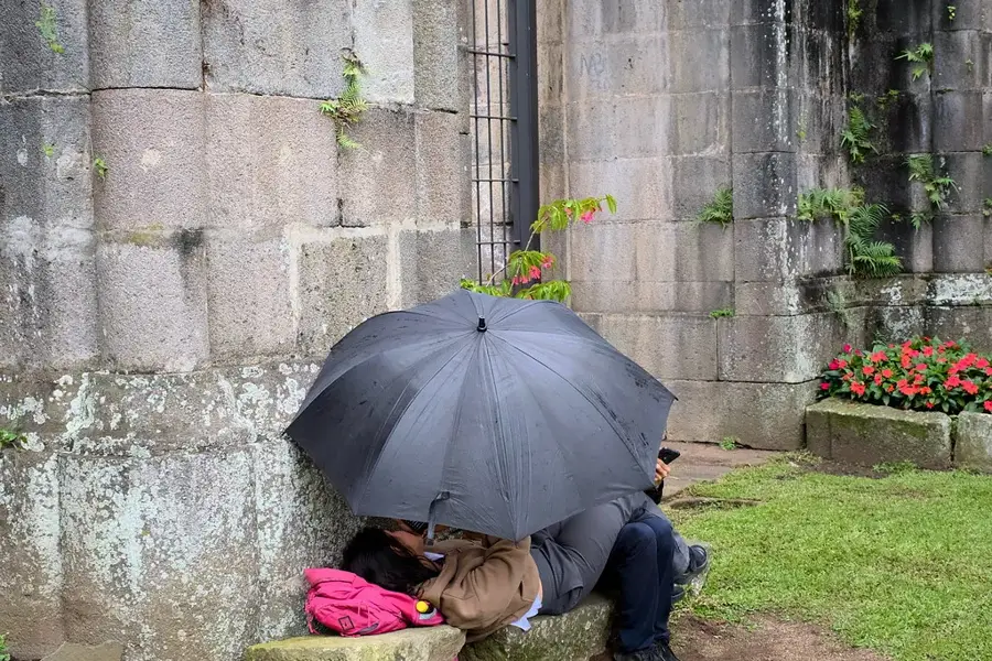
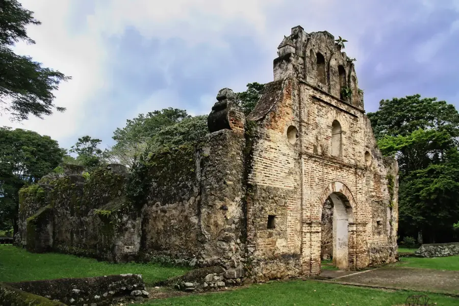
An ancient archaeological site surrounded by peaceful, lush forest.
Water temperature…
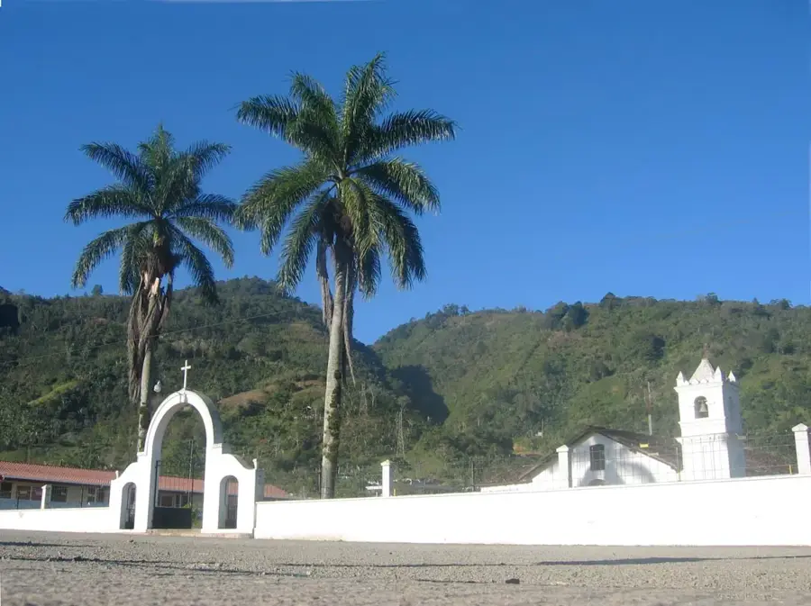
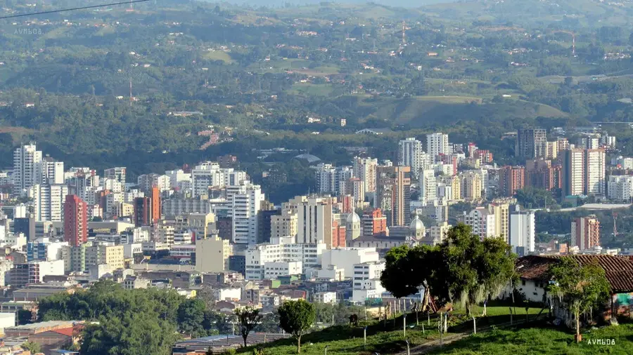
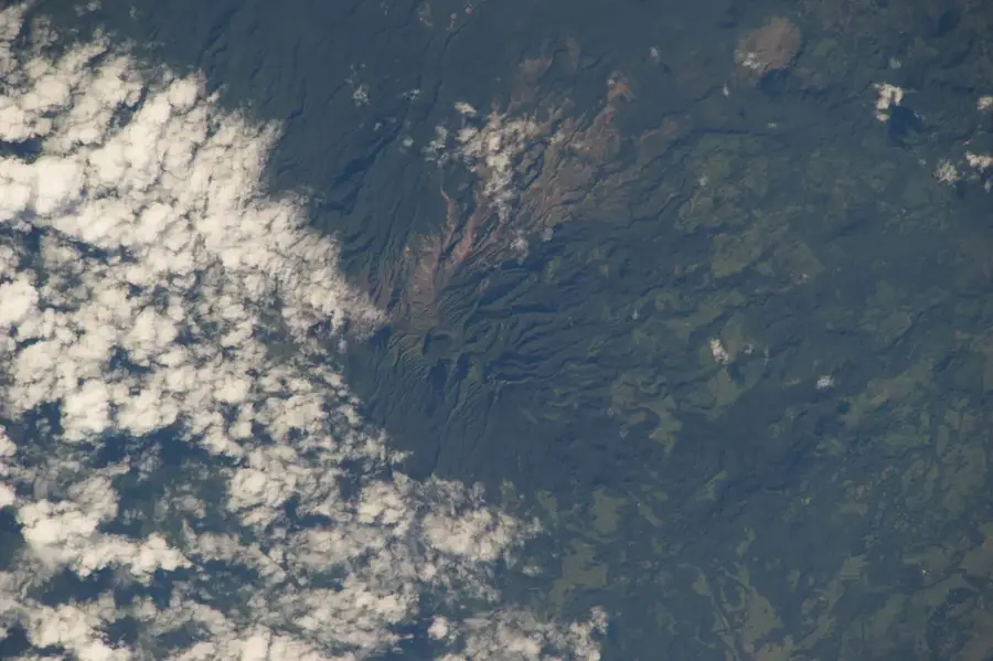
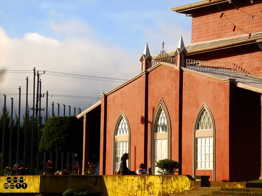
Turrialba is a lively city located in the Cartago province of Costa Rica, acting as a gateway to the Caribbean slopes. It is famously overshadowed by the active Turrialba Volcano, which periodically paints the horizon with its plumes. Historically, the city flourished as an agricultural hub, with vast plantations of sugarcane, coffee, and macadamia nuts defining the local landscape. Beyond its crops, Turrialba is world-renowned as a premier destination for white-water rafting, offering direct access to the turbulent waters of the Pacuare and Reventazón rivers. The city also hosts the Tropical Agricultural Research and Higher Education Center (CATIE), a prestigious institution dedicated to environmental conservation. Just a short drive away lies the Guayabo National Monument, the country's most significant archaeological site, featuring ancient cobblestone streets, mounds, and sophisticated water systems built between 1000 BC and 1400 AD.
- Location: Costa Rica
- Top sights: Turrialba (district) · Atirro River
- Nearby: Juan Viñas (6 km)
- Population: ~28.955 (2024)
Best time to visit & climate
The most pleasant time to visit is Feb–Apr.
| Jan | Feb | Mar | Apr | May | Jun | Jul | Aug | Sep | Oct | Nov | Dec | |
|---|---|---|---|---|---|---|---|---|---|---|---|---|
| Avg °C | 19 | 19 | 20 | 21 | 21 | 21 | 20 | 21 | 21 | 20 | 20 | 20 |
| Rain mm | 119 | 70 | 76 | 117 | 243 | 239 | 253 | 214 | 231 | 285 | 258 | 162 |
Geography
Facts
- Capital of Turrialba canton
- Home to the Turrialba Volcano
- Associated with queso Turrialba
- Site of CATIE, founded in 1942
- Near the Pacuare River rafting zone
- Located in Cartago province
Explore nearby
Notable places around
Route planner — Car & Motorhome
Where do you start? We build the route here, with stops and country notes along the way.
© OpenStreetMap contributors · OpenRouteService
Sights in the town Turrialba (2)
Frequently asked questions
What is Turrialba famous for?
Which local food should I try?
How long should I stay?
How is the weather?
Is it family-friendly?
Turrialba: where is it located?
Turrialba: what is there to see?
Turrialba: when is the best time to visit?
Turrialba: why is it worth visiting?

Nearby cities


History & landmarks


More places