Plizio Visual Lab
Prairie Canola Fields
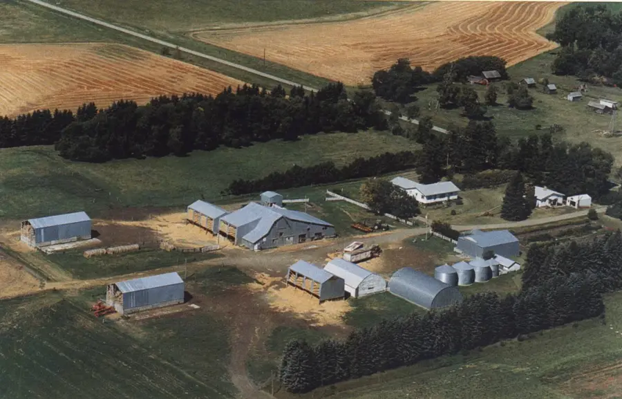
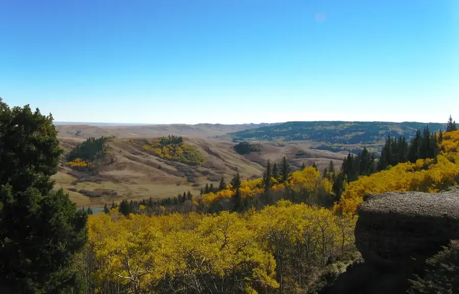
The vast canola fields in the Canadian Prairie provinces of Saskatchewan, Alberta, and Manitoba are a defining feature of Canada's summer landscape. Canola was developed in the 1970s by scientists at the University of Manitoba and Agriculture Canada through conventional breeding of rapeseed. The name stands for 'Canadian oil, low acid,' referring to its reduced erucic acid content. With their bright yellow blossoms, the fields transform entire regions into a sea of gold during the month of July. Today, Canada is the world's largest producer and exporter of canola, which is primarily used for cooking oil and biofuel production. Cultivation plays a central role in Western Canada's economy, supporting thousands of jobs in farming and processing. The plant is also a vital source for honeybees, as the vast acreage provides an enormous amount of nectar. Through modern agricultural practices and ongoing research, the sustainability and yield of canola production continue to advance.
Best time to visit & climate
The most pleasant time to visit is Jun–Aug.
| Jan | Feb | Mar | Apr | May | Jun | Jul | Aug | Sep | Oct | Nov | Dec | |
|---|---|---|---|---|---|---|---|---|---|---|---|---|
| Avg °C | -14 | -13 | -4 | 5 | 12 | 17 | 20 | 19 | 13 | 4 | -4 | -12 |
| Rain mm | 22 | 16 | 21 | 35 | 46 | 86 | 60 | 48 | 44 | 32 | 26 | 19 |
📋 Practical info
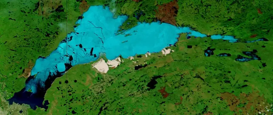
Geography
Facts
- Canola was developed in the 1970s at the University of Manitoba.
- The name 'Canola' is an acronym for 'Canadian Oil, Low Acid'.
- Approximately 43,000 Canadian farmers grow canola annually.
- Canada exports over 90% of its produced canola to global markets.
- The peak blooming period for canola fields is typically in July.
- One hectare of canola can provide nectar for up to 10 kg of honey.
Explore nearby
Notable places around
Route planner — Car & Motorhome
Where do you start? We build the route here, with stops and country notes along the way.
© OpenStreetMap contributors · OpenRouteService
Sights in the town Prairie Canola Fields (1)
Sights nearby
Frequently asked questions
When do canola fields bloom?
Where can I find the best fields?
Can I enter the fields for photos?
What is canola used for?
Why are they so yellow?
Prairie Canola Fields: where is it located?
Prairie Canola Fields: when is the best time to visit?
Prairie Canola Fields: why is it worth visiting?

Nearby cities

History & landmarks
Nature
More places