Plizio Visual Lab
Churchill River (Saskatchewan)
Weather…
Water temperature…
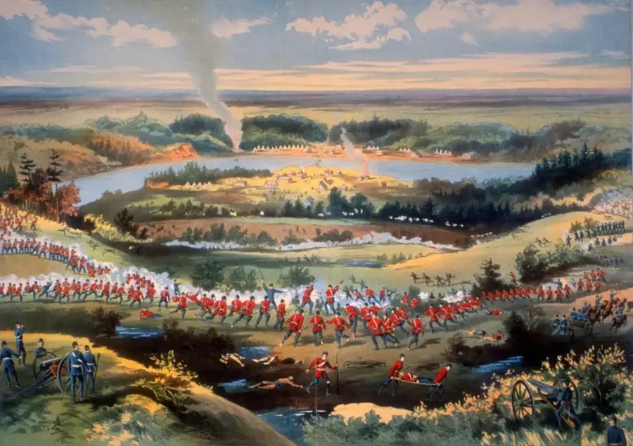
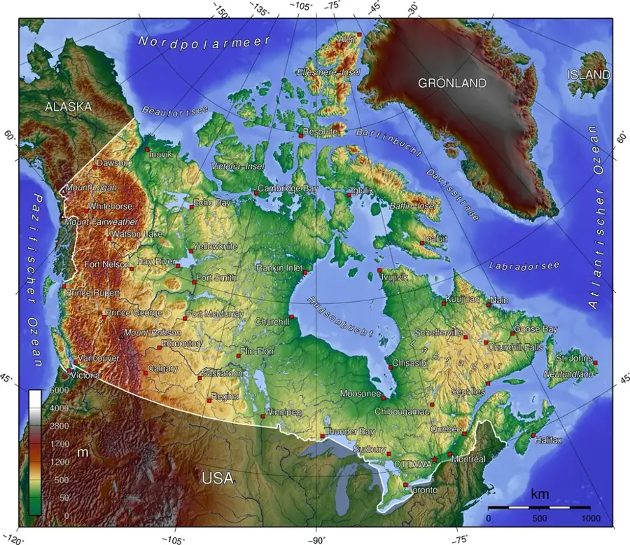
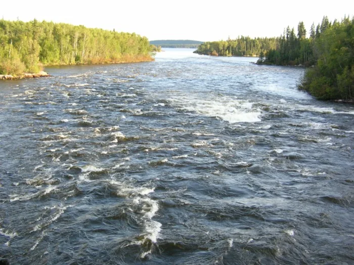
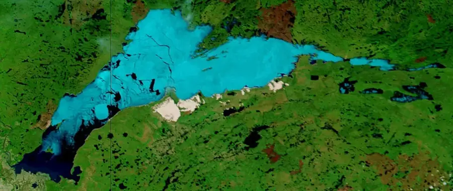
The Churchill River is a major waterway in central Canada, flowing for over 1,600 kilometers from its headwaters in Alberta through Saskatchewan and Manitoba to Hudson Bay. In the Cree language, the river is known as 'Missinippi,' which translates to 'big water.' Historically, it served as one of the most vital trade routes for the Voyageurs and fur traders of the Hudson's Bay Company, providing a critical link between the western interior and the northern coast. The river's course is characterized by a chain of large, interconnected lakes and turbulent rapids, making it a world-class destination for modern wilderness canoe expeditions. Geologically, the river cuts through the Canadian Shield, exposing ancient rock formations composed of Precambrian material. The surrounding flora consists of dense boreal coniferous forest, providing habitat for moose, black bears, and timber wolves. Numerous Indigenous archaeological sites have been discovered along its banks, documenting thousands of years of human habitation. Today, while the Churchill River is harnessed for hydroelectric power generation, large stretches of its original ecosystem in northern Saskatchewan remain pristine.
- Location: Canada
- Top sights: Cape Merry · Itsanitaq Museum · Prince of Wales Fort National Historic Site
Best time to visit & climate
The most pleasant time to visit is Jul–Sep.
| Jan | Feb | Mar | Apr | May | Jun | Jul | Aug | Sep | Oct | Nov | Dec | |
|---|---|---|---|---|---|---|---|---|---|---|---|---|
| Avg °C | -23 | -22 | -17 | -9 | -3 | 3 | 9 | 11 | 7 | 1 | -8 | -19 |
| Rain mm | 22 | 17 | 27 | 33 | 49 | 56 | 67 | 89 | 75 | 73 | 38 | 24 |
📋 Practical info
Geography
Facts
- The river has a total length of 1,609 kilometers.
- The drainage basin covers approximately 281,300 square kilometers.
- It was named after John Churchill, 1st Duke of Marlborough.
- The river flows through large lakes such as Lac Île-à-la-Crosse.
- Hydroelectric projects now divert much of its flow into the Nelson River.
- Ancient Cree rock paintings can be found at several sites along the banks.
Route planner — Car & Motorhome
Where do you start? We build the route here, with stops and country notes along the way.
© OpenStreetMap contributors · OpenRouteService
Sights in the town Churchill River (Saskatchewan) (3)
Sights nearby
Frequently asked questions
Where does the Churchill River flow?
Is the river good for canoeing?
Are there waterfalls on the river?
Can you fish there?
Was the river important for the fur trade?
Churchill River (Saskatchewan): where is it located?
Churchill River (Saskatchewan): what is there to see?
Churchill River (Saskatchewan): when is the best time to visit?
Churchill River (Saskatchewan): why is it worth visiting?

Nearby cities


History & landmarks
Nature
More places