Plizio Visual Lab
Cypress Hills
Weather…
Water temperature…
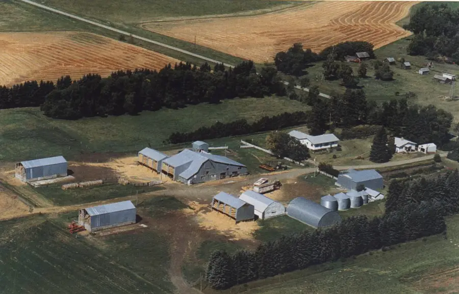
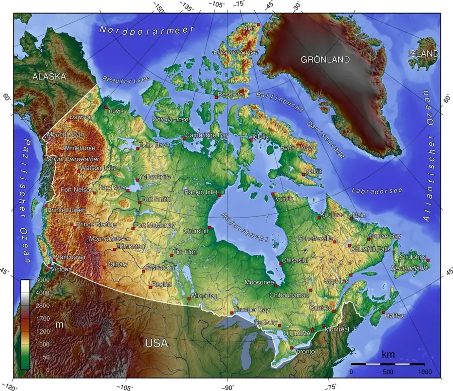
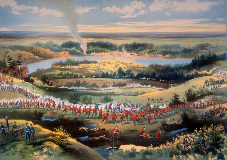
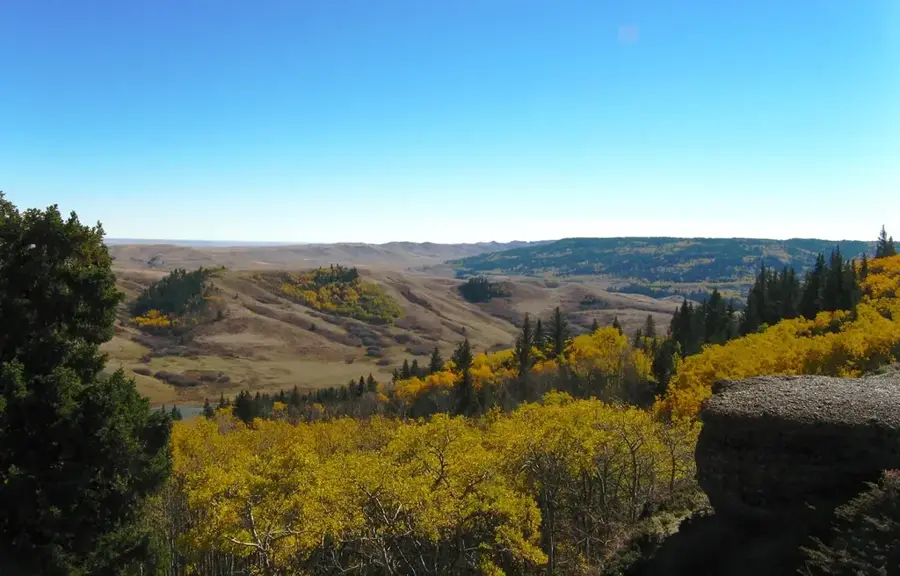
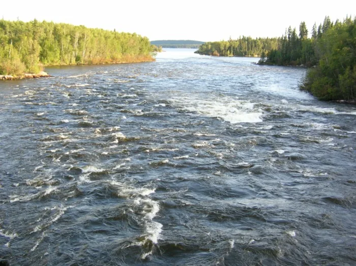
The Cypress Hills are a unique geological formation straddling the border between Alberta and Saskatchewan, rising prominently above the surrounding prairies. Reaching a maximum elevation of 1,468 meters, they represent the highest point in mainland Canada between the Rocky Mountains and the Labrador Peninsula. Geologically, the hills are a plateau that remained unglaciated during the last ice age, functioning as a nunatak that preserved ancient flora and fauna. This isolation allowed for the survival of species like the lodgepole pine, which are typically found only in much higher mountain environments. Historically, the area is significant due to the 1873 Cypress Hills Massacre, an event that directly led to the formation of the North-West Mounted Police and the establishment of Fort Walsh. Today, the Cypress Hills Interprovincial Park is Canada's first interprovincial park and is recognized as a Dark Sky Preserve. The landscape is an ecological oasis, characterized by dense forests, fescue grasslands, and steep coulees in the heart of the Great Plains.
- Location: Canada
- Top sights: Hidden Conglomerate Cliffs · Cypress Hills Provincial Park · Conglomerate Cliffs
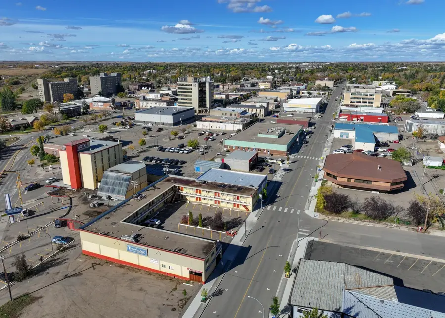
- Nearby: Medicine Hat (88 km)
Best time to visit & climate
The most pleasant time to visit is Jun–Aug.
| Jan | Feb | Mar | Apr | May | Jun | Jul | Aug | Sep | Oct | Nov | Dec | |
|---|---|---|---|---|---|---|---|---|---|---|---|---|
| Avg °C | -8 | -8 | -2 | 4 | 10 | 15 | 20 | 18 | 12 | 4 | -2 | -7 |
| Rain mm | 21 | 20 | 23 | 37 | 60 | 80 | 34 | 40 | 36 | 29 | 22 | 19 |
📋 Practical info
Geography
Facts
- The highest point in the Cypress Hills is 1,468 meters above sea level.
- The plateau remained unglaciated during the Wisconsin glaciation period.
- The 1873 Cypress Hills Massacre prompted the creation of the North-West Mounted Police.
- Fort Walsh was established in 1875 to serve as a regional police headquarters.
- Cypress Hills became Canada's first interprovincial park in 1989.
- The area was designated as a Dark Sky Preserve in 2004.
Route planner — Car & Motorhome
Where do you start? We build the route here, with stops and country notes along the way.
© OpenStreetMap contributors · OpenRouteService
Sights in the town Cypress Hills (7)
Sights nearby
Frequently asked questions
What is special about the Cypress Hills?
Are they in one or two provinces?
Why were they not covered by glaciers?
Are there forests there in the prairie?
Can you go stargazing there?
Cypress Hills: where is it located?
Cypress Hills: what is there to see?
Cypress Hills: when is the best time to visit?
Cypress Hills: why is it worth visiting?

Nearby cities

History & landmarks
Nature
More places