Plizio Visual Lab
Notre-Dame Mountains
Weather…
Water temperature…
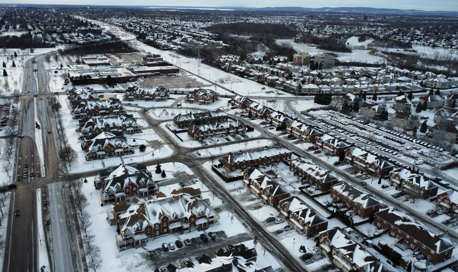
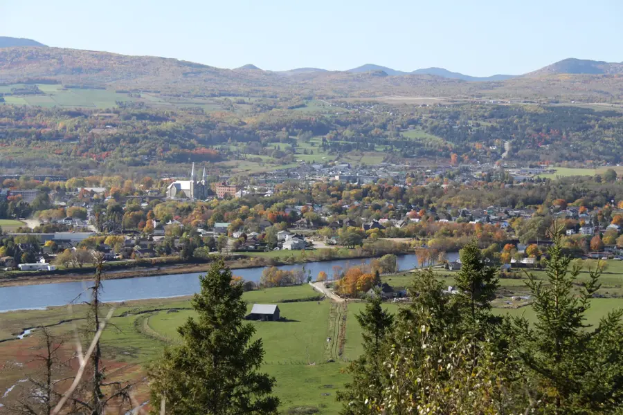
The Notre-Dame Mountains are an extensive mountain range in southeastern Quebec, forming a northern continuation of the Appalachian Mountains in Canada. They stretch from the Green Mountains in the United States all the way to the Gaspé Peninsula, running south of the Saint Lawrence River. The range consists of a series of rolling hills and rugged peaks, with the highest point being Mount Jacques-Cartier in the Chic-Choc subrange at 1,268 meters. Geologically, the Notre-Dame Mountains are ancient, having formed between 450 and 500 million years ago during the Taconic orogeny as a result of plate tectonic collisions. The landscape is characterized by dense forests, deep valleys, and numerous lakes, making it a vital region for forestry and outdoor tourism. Historically, the mountains served as a natural barrier and later as a border region between Canada and the United States. Today, the area includes several protected zones, such as the Parc national du Bic, and is known for its diverse wildlife, including significant populations of moose and deer.
- Location: Canada
- Top sights: Graham Beach · Théâtre Montcalm · Feuille d'érable
- Nearby: Matane (57 km)
Best time to visit & climate
The most pleasant time to visit is Jun–Aug.
| Jan | Feb | Mar | Apr | May | Jun | Jul | Aug | Sep | Oct | Nov | Dec | |
|---|---|---|---|---|---|---|---|---|---|---|---|---|
| Avg °C | -13 | -12 | -7 | 1 | 9 | 14 | 18 | 17 | 13 | 6 | -1 | -9 |
| Rain mm | 65 | 59 | 73 | 83 | 95 | 117 | 122 | 104 | 99 | 114 | 95 | 93 |
📋 Practical info
Geography
Facts
- The highest peak in the range is Mount Jacques-Cartier at 1,268 meters.
- The mountains formed approximately 450 to 500 million years ago.
- Jacques Cartier named the mountains in 1535 during his exploration.
- The range spans over 600 kilometers in length across Quebec.
- The region is a significant center for maple syrup production in Canada.
- The range includes coastal protected areas like Parc national du Bic.
Explore nearby
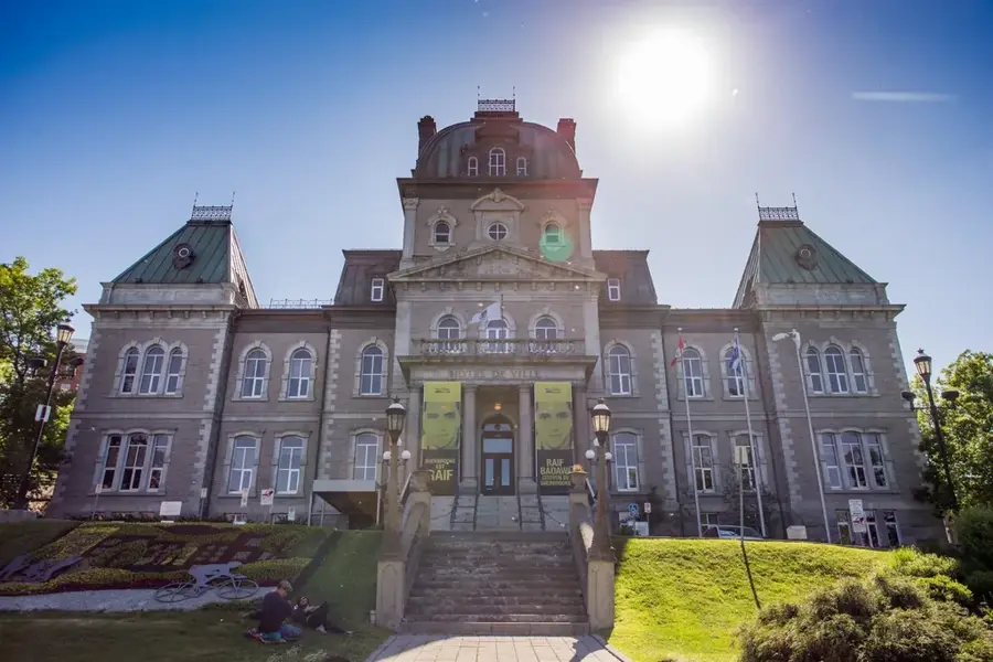
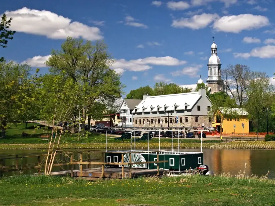
Notable places around
Route planner — Car & Motorhome
Where do you start? We build the route here, with stops and country notes along the way.
© OpenStreetMap contributors · OpenRouteService
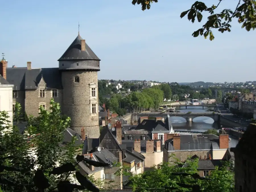
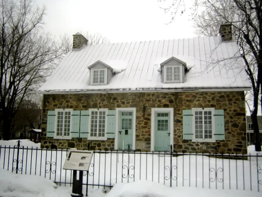
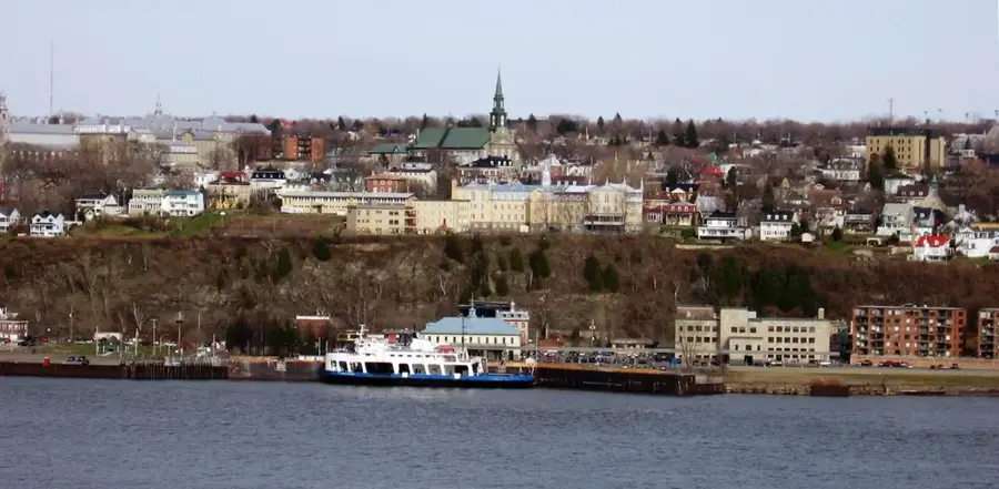
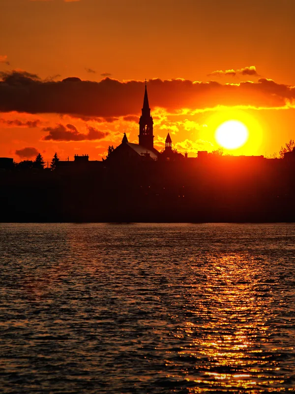
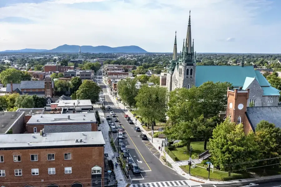
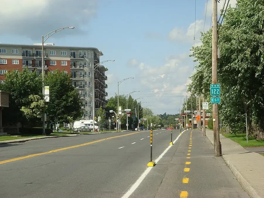
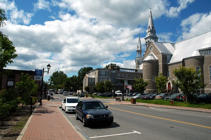
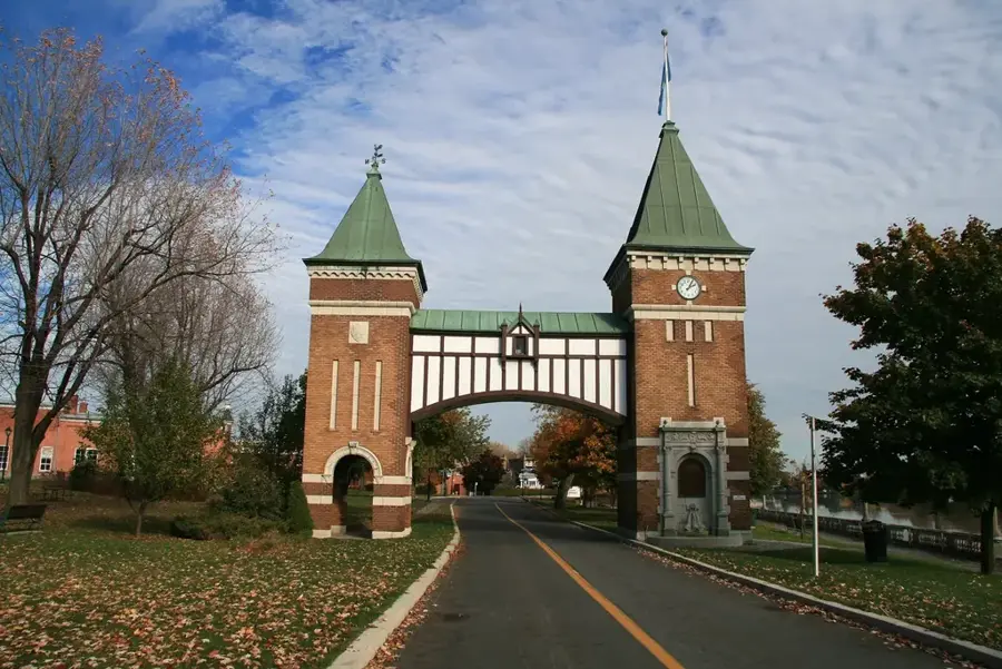
Sights in the town Notre-Dame Mountains (4)
Sights nearby
Frequently asked questions
Where are the Notre-Dame Mountains located?
Are they part of the Appalachians?
What activities are available there?
What is the highest peak?
Are there lakes there?
Notre-Dame Mountains: where is it located?
Notre-Dame Mountains: what is there to see?
Notre-Dame Mountains: when is the best time to visit?
Notre-Dame Mountains: why is it worth visiting?

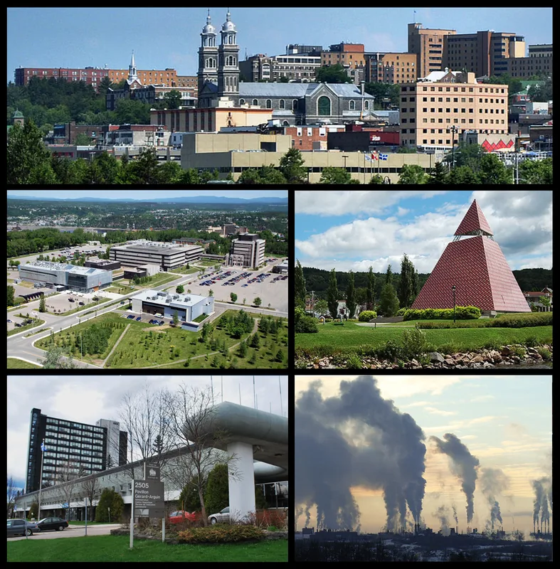
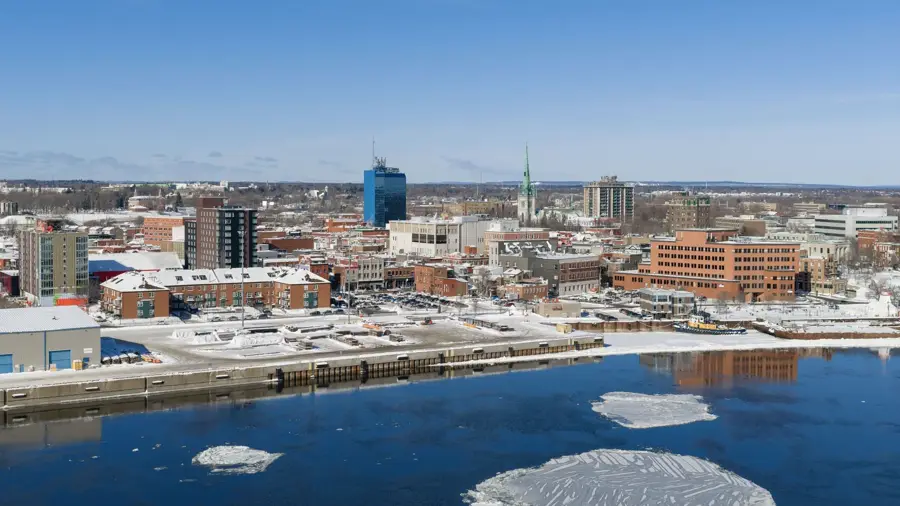
Nearby cities