Plizio Visual Lab
Laurentian Mountains
Weather…
Water temperature…
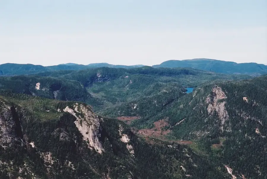
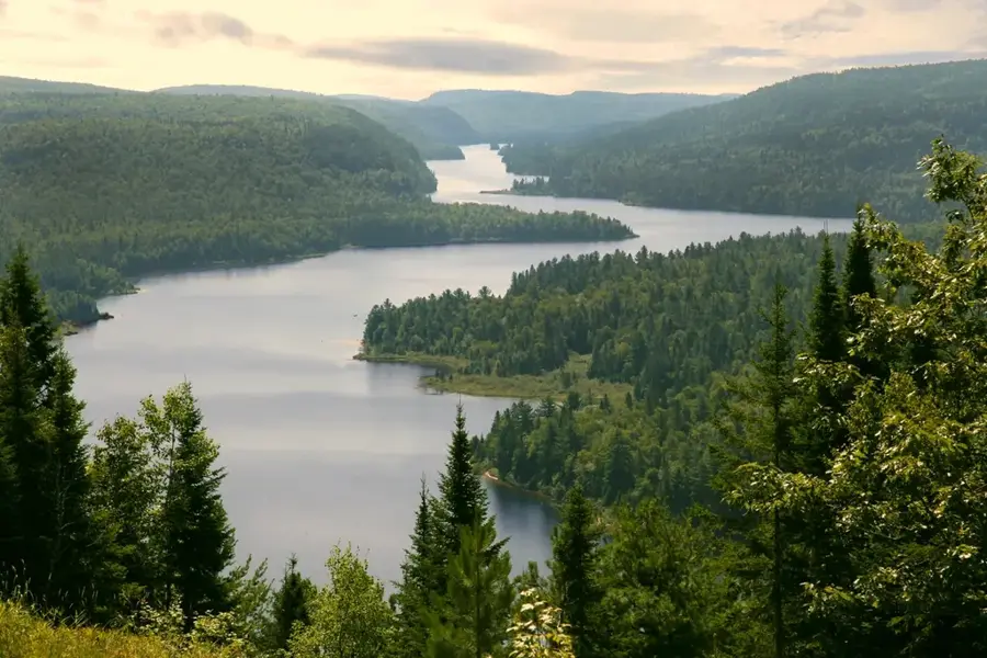
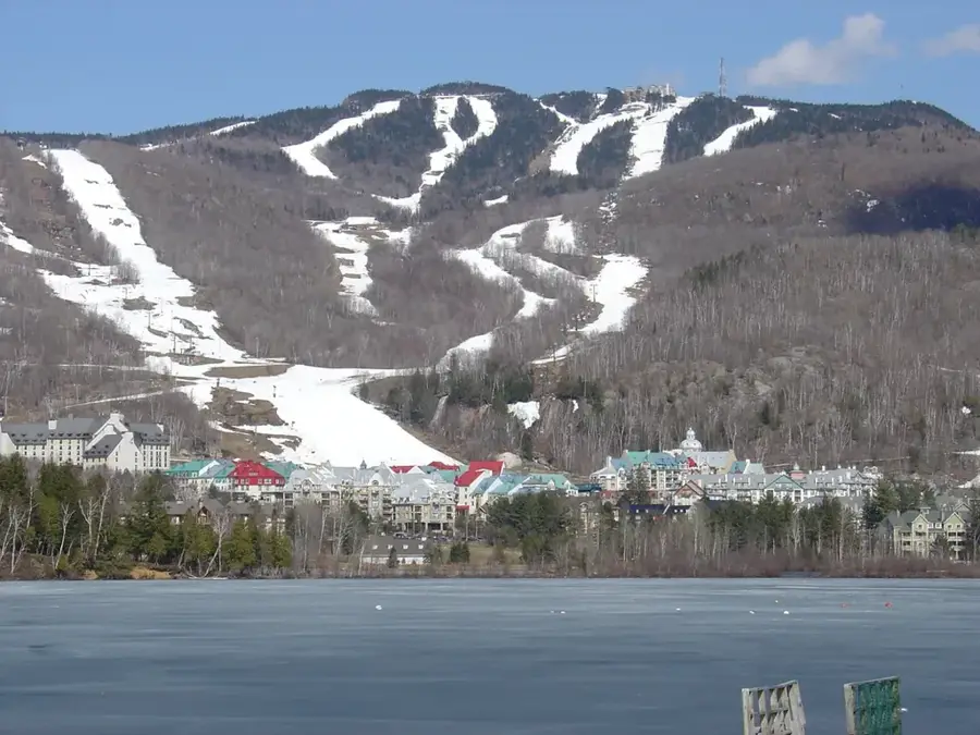
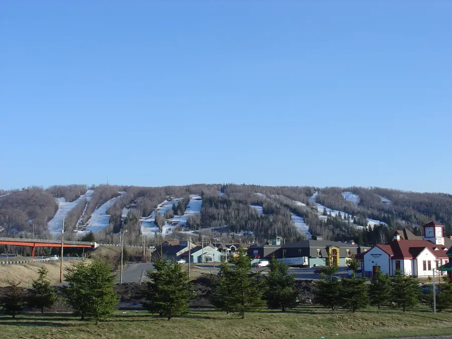
The Laurentian Mountains are a prominent range in southern Quebec, Canada, located north of the Saint Lawrence and Ottawa Rivers. Part of the Canadian Shield, they represent some of the oldest mountain formations on Earth, with rocks dating back over a billion years. The landscape is characterized by rounded peaks, deep valleys, and thousands of small lakes, all carved by glaciers during the last ice age. The highest peak in the range is Mont Tremblant, which rises to an elevation of 875 meters (2,871 feet) and is now a major hub for tourism and winter sports. Historically, the mountains were significant for forestry and mining, but throughout the 20th century, they evolved into the premier recreational playground for residents of Montreal and Ottawa. The region is famous for its dense mixed forests, which provide a spectacular display of color during the autumn months. Numerous protected areas, such as the Parc national du Mont-Tremblant, safeguard the region's natural diversity.
Explore on the map
How well do you know Canada?
Find cities, landscapes and regions in 10 varied challenges on the interactive map.
Your journey, your memory
A postcard from Laurentian Mountains
Turn your own photo into a personal postcard with a local stamp. Free and no sign-up required.
Create a postcard- Location: Canada
- Highlights: Baie du Lac Monette · Baie des Loups
Best time to visit & climate
The most pleasant time to visit is Jun–Aug.
| Jan | Feb | Mar | Apr | May | Jun | Jul | Aug | Sep | Oct | Nov | Dec | |
|---|---|---|---|---|---|---|---|---|---|---|---|---|
| Avg °C | -15 | -14 | -8 | 1 | 10 | 15 | 18 | 17 | 13 | 5 | -2 | -11 |
| Rain mm | 69 | 61 | 69 | 87 | 88 | 95 | 110 | 100 | 101 | 101 | 82 | 90 |
📋 Practical info
Geography
Facts
- The mountains are part of the Canadian Shield and over a billion years old.
- Mont Tremblant is the highest peak at 875 meters elevation.
- The region is home to some of the oldest ski resorts in North America.
- There are more than 1,500 lakes scattered throughout the range.
- The range covers an area of approximately 22,000 square kilometers.
- The name is derived from Saint Lawrence, the patron of the nearby river.
Explore nearby
Notable places around

Route planner — Car & Motorhome
Where do you start? We build the route here, with stops and country notes along the way.
© OpenStreetMap contributors · OpenRouteService
Sights in the town Laurentian Mountains (2)
Sights nearby
Frequently asked questions
Where are the Laurentian Mountains located?
Are the mountains very high?
What is the most famous ski resort?
When is the best time for fall colors?
Are there many lakes there?
Laurentian Mountains: where is it located?
Laurentian Mountains: what is there to see?
Laurentian Mountains: when is the best time to visit?
Laurentian Mountains: why is it worth visiting?
Nearby cities