Plizio Visual Lab
Mont Tremblant
Weather…
Water temperature…
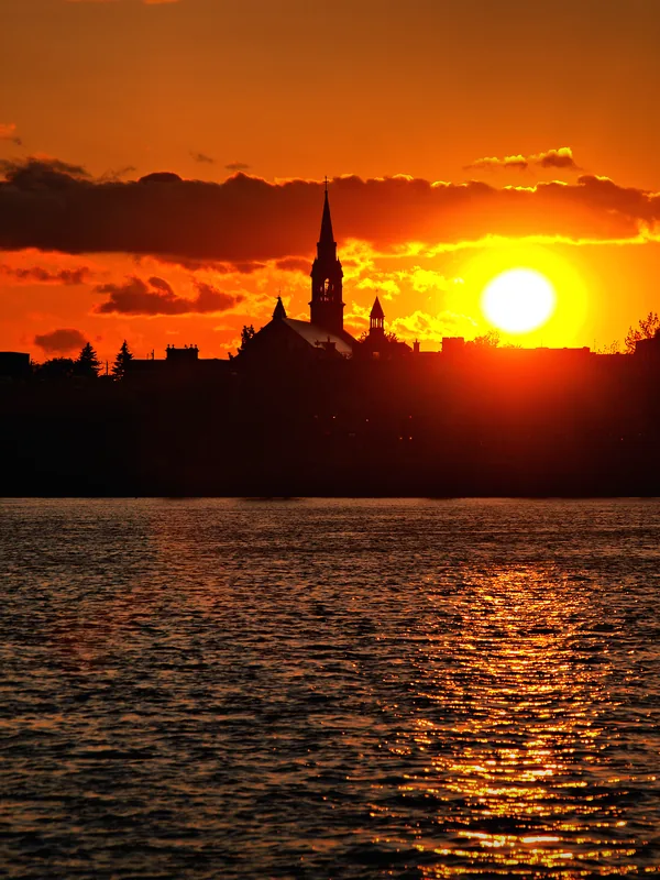
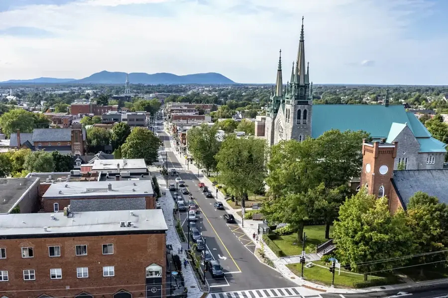
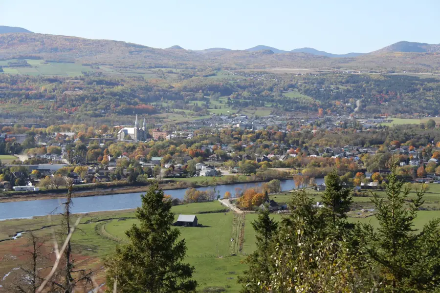
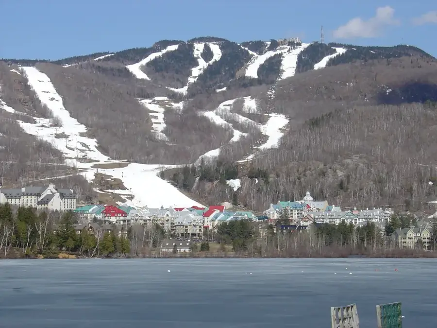
Mont Tremblant is a prominent peak in the Laurentian Mountains of southwestern Quebec, situated approximately 130 kilometers northwest of Montreal. Rising to an elevation of 875 meters, it is one of the highest summits in the range and serves as the centerpiece of Mont-Tremblant National Park, established in 1895. Geologically, the massif is part of the Canadian Shield, composed of Precambrian metamorphic rock dating back over a billion years. The name originates from the Algonquin people, meaning trembling mountain, a reference to indigenous legends regarding nature spirits. The mountain's development as a major ski destination began in 1939, evolving into an internationally recognized resort area. The surrounding terrain features dense boreal forests and over 400 glacial lakes, supporting diverse wildlife including black bears and wolves.
- Location: Canada
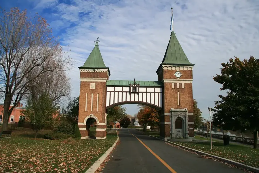
- Top sights: Centre d'Accès à la Nature de l'UQAM · Parc National du Mont-Tremblant - Secteur de la Diable · Vélo Mont-Tremblant
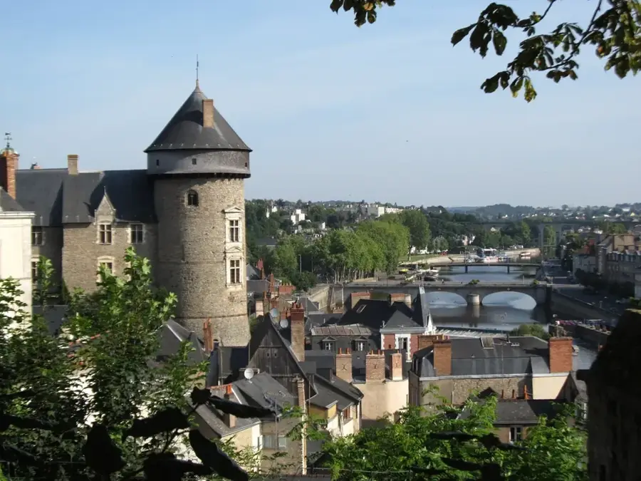
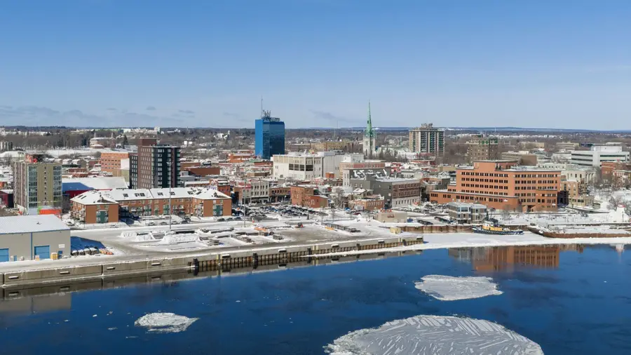
- Nearby: Mont-Tremblant (7 km)
Best time to visit & climate
The most pleasant time to visit is Jun–Aug.
| Jan | Feb | Mar | Apr | May | Jun | Jul | Aug | Sep | Oct | Nov | Dec | |
|---|---|---|---|---|---|---|---|---|---|---|---|---|
| Avg °C | -13 | -12 | -6 | 3 | 11 | 16 | 19 | 18 | 14 | 6 | -1 | -9 |
| Rain mm | 83 | 71 | 82 | 96 | 93 | 106 | 99 | 96 | 98 | 115 | 93 | 104 |
📋 Practical info
Geography
Facts
- Elevation of 875 meters above sea level
- Part of the Laurentian Mountains in Quebec
- National Park established in the year 1895
- Ski resort operations began in 1939
- Surrounded by more than 400 glacial lakes
- Name means trembling mountain in Algonquin
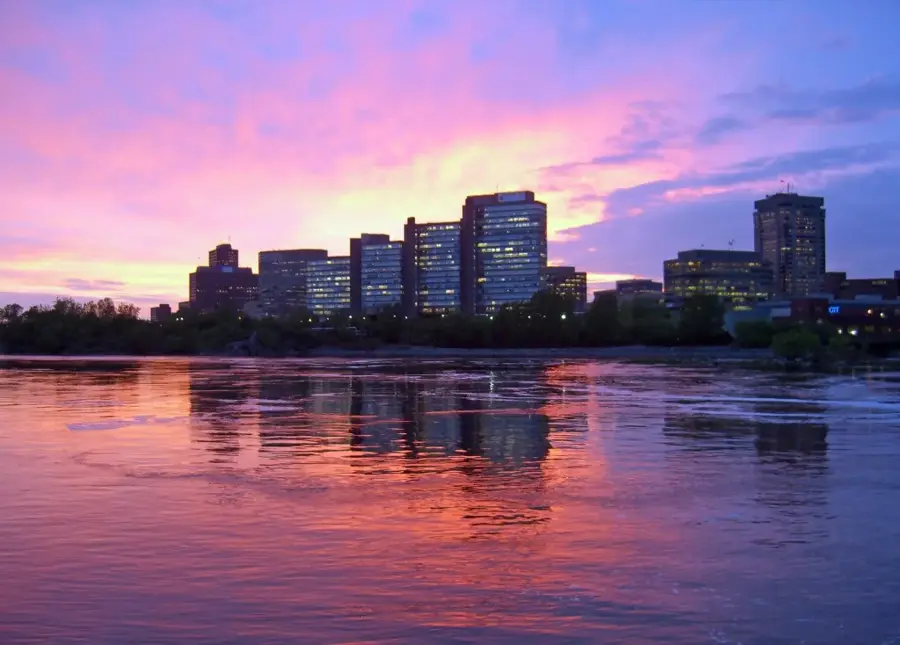
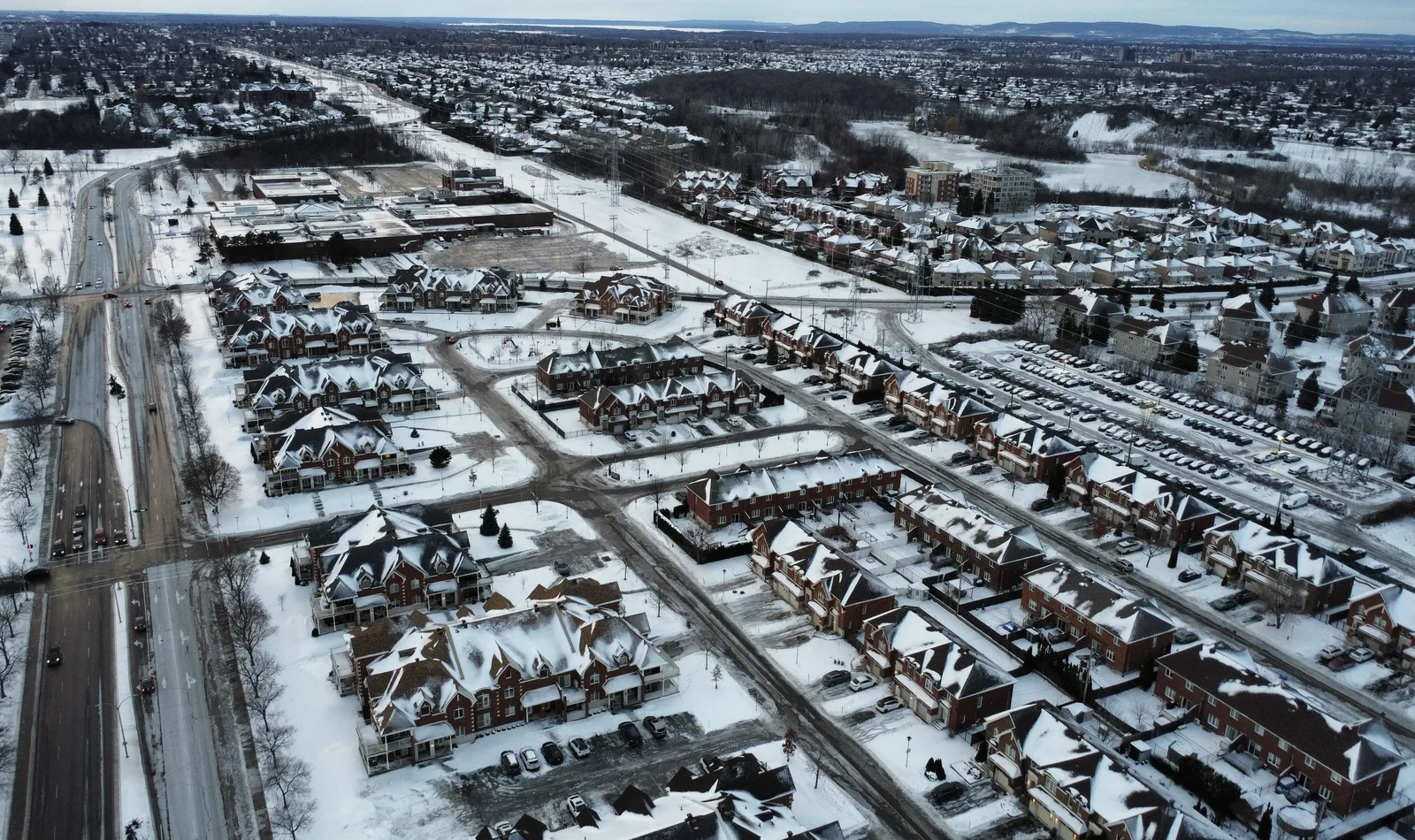
Explore nearby
Notable places around
Route planner — Car & Motorhome
Where do you start? We build the route here, with stops and country notes along the way.
© OpenStreetMap contributors · OpenRouteService
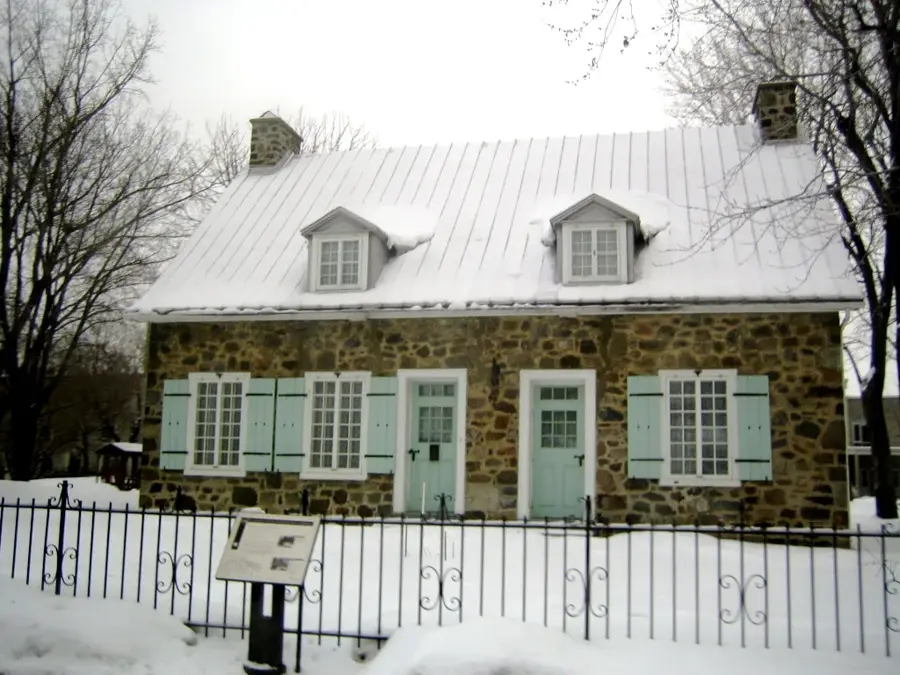
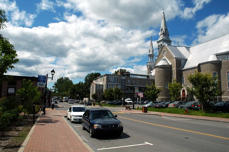
Sights in the town Mont Tremblant (11)
Sights nearby
Frequently asked questions
Is Mont Tremblant only a ski resort?
How far is it from Montreal?
Is there a village at the base?
When is the fall foliage best?
Are there activities for children?
Mont Tremblant: where is it located?
Mont Tremblant: what is there to see?
Mont Tremblant: when is the best time to visit?
Mont Tremblant: why is it worth visiting?

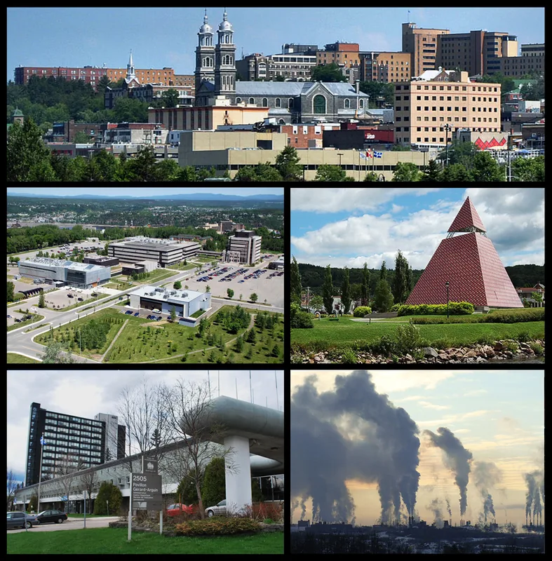
Nearby cities