Plizio Visual Lab
Haida Gwaii
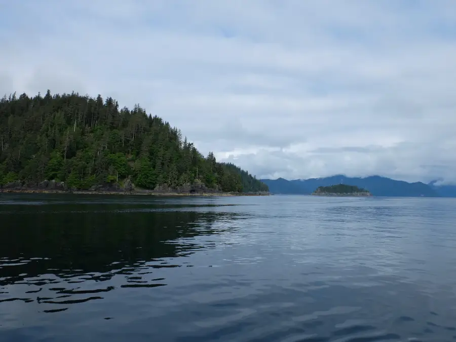
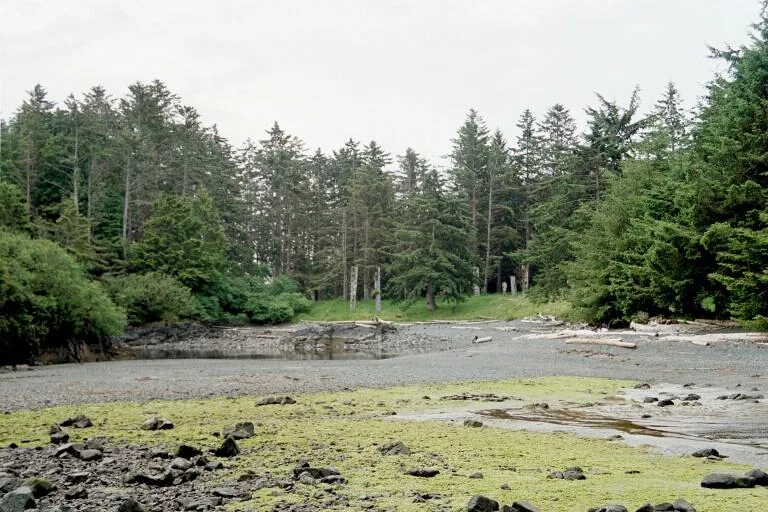
Haida Gwaii, formerly known as the Queen Charlotte Islands, is an isolated archipelago in the Pacific Ocean frequently referred to as the 'Galapagos of the North'. Comprising over 150 islands, the region sustains a unique ecosystem of ancient temperate rainforests and endemic wildlife. It is the traditional and spiritual heartland of the Haida Nation, whose monumental art, culture, and history are inextricably linked to the coastal landscape. A major highlight for visitors is the Gwaii Haanas National Park Reserve in the southern half of the archipelago. This protected area encompasses the UNESCO World Heritage site of SGang Gwaay (Ninstints), an abandoned village that preserves some of the world's most impressive original totem poles still standing in their natural setting. Further north in Skidegate, the Haida Heritage Centre features deep insights into indigenous woodcarving, canoe building, and community life. The rugged beaches of Naikoon Provincial Park in the north are excellent for beachcombing and surfing. Reaching Haida Gwaii requires advance planning. Flights arrive at Sandspit or Masset airports from mainland British Columbia. Alternatively, travelers can take a scenic seven-hour BC Ferries crossing from Prince Rupert to Skidegate. The summer months (June through August) are the optimal time to visit, as the ocean waters are calm enough to safely access the southern archaeological sites by boat or kayak.
Explore on the map
How well do you know Canada?
Find cities, landscapes and regions in 10 varied challenges on the interactive map.
Your journey, your memory
A postcard from Haida Gwaii
Turn your own photo into a personal postcard with a local stamp. Free and no sign-up required.
Create a postcard- Location: Canada
- Highlights: Stony Peak · Skidegate Inlet · Rooney Bay
- Population: ~837 (2025)
Best time to visit & climate
The most pleasant time to visit is Jun–Aug.
| Jan | Feb | Mar | Apr | May | Jun | Jul | Aug | Sep | Oct | Nov | Dec | |
|---|---|---|---|---|---|---|---|---|---|---|---|---|
| Avg °C | 5 | 4 | 4 | 6 | 9 | 11 | 14 | 14 | 13 | 10 | 6 | 5 |
| Rain mm | 241 | 152 | 171 | 141 | 100 | 104 | 88 | 115 | 165 | 233 | 239 | 231 |
Geography
Facts
- Formerly the Queen Charlotte Islands
- Archipelago consists of over 150 islands
- Nicknamed the 'Galapagos of the North'
- Ancestral home of the Haida Nation
- SGang Gwaay is a UNESCO World Heritage site
- Encompasses Gwaii Haanas National Park
- Accessible via ferry from Prince Rupert
- Famous for original, ancient totem poles
Explore nearby
Notable places around

Route planner — Car & Motorhome
Where do you start? We build the route here, with stops and country notes along the way.
© OpenStreetMap contributors · OpenRouteService
Sights in the town Haida Gwaii (5)
Frequently asked questions
Haida Gwaii: where is it located?
Haida Gwaii: what is there to see?
Haida Gwaii: when is the best time to visit?
Haida Gwaii: why is it worth visiting?

Nearby cities