Plizio Visual Lab
Mont Tanékas
Weather…
Water temperature…
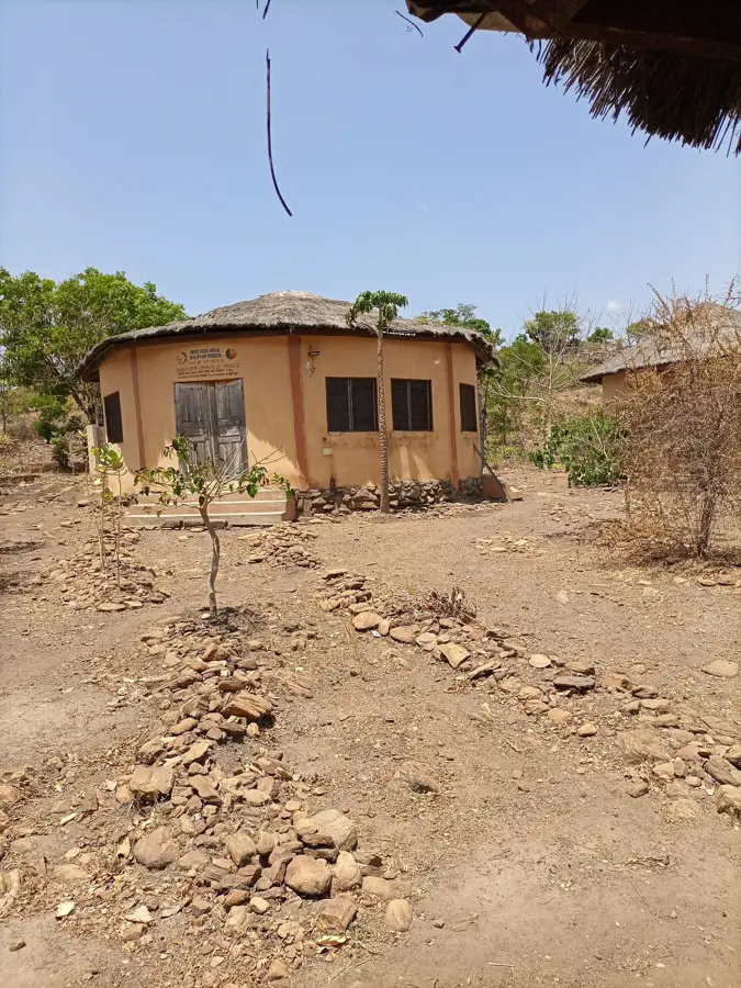
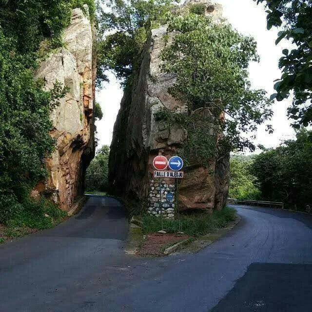
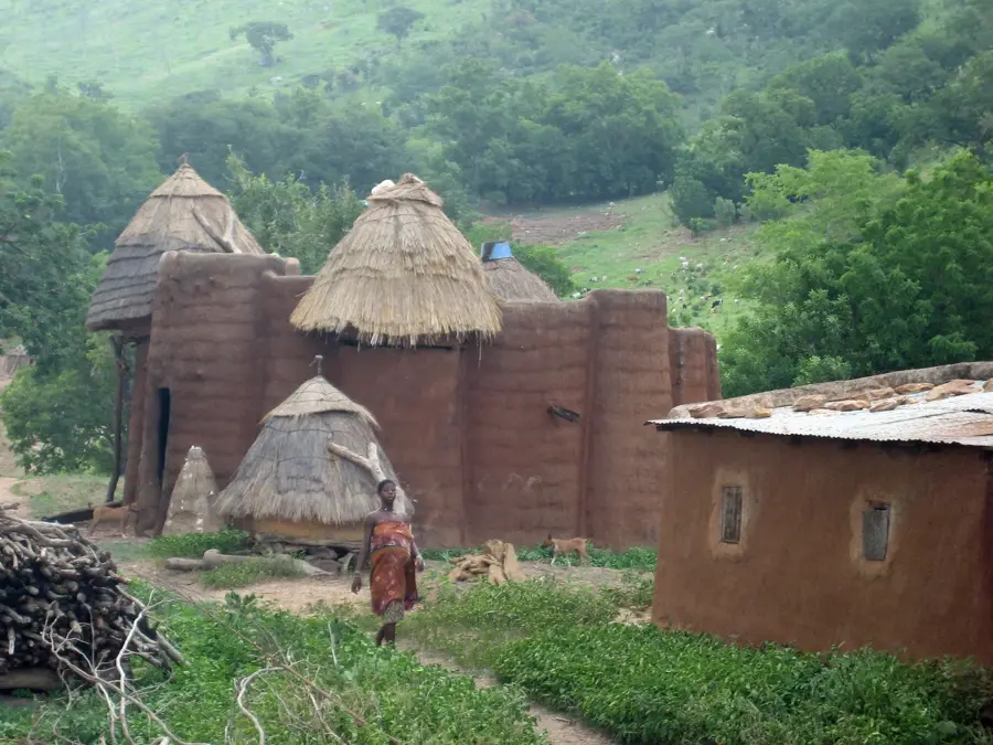
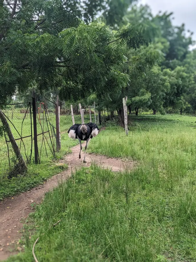
Mont Tanékas is located in northwestern Benin within the Atakora mountain range, reaching an elevation of approximately 641 meters above sea level. It serves as the spiritual heart of the Tanéka people, who reside in traditional villages such as Tanéka Beri and Tanéka Koko on the mountain slopes. The settlement structure is unique, characterized by circular mud huts with thatched roofs that blend seamlessly into the rugged, rocky terrain. The mountain is the site of significant initiation rites and religious ceremonies led by traditional priests who maintain the community's ancestral customs. The surrounding vegetation consists of a mosaic of savanna and dense forest patches, supporting a variety of local wildlife. Geologically, the area is notable for its ancient quartzite formations dating back millions of years. Mont Tanékas represents a profound intersection of geological history and living cultural heritage in the West African sub-region.
Best time to visit & climate
The most pleasant time to visit is Jan, Nov, Dec.
| Jan | Feb | Mar | Apr | May | Jun | Jul | Aug | Sep | Oct | Nov | Dec | |
|---|---|---|---|---|---|---|---|---|---|---|---|---|
| Avg °C | 24 | 27 | 30 | 29 | 28 | 26 | 25 | 25 | 25 | 26 | 25 | 24 |
| Rain mm | 2 | 7 | 25 | 83 | 142 | 173 | 236 | 274 | 219 | 107 | 9 | 1 |
📋 Practical info
Geography
Facts
- The mountain reaches a peak altitude of approximately 641 meters.
- The Tanéka people settled here around the 9th century for defense.
- The villages contain over 1,000 traditional circular mud dwellings.
- Major initiation ceremonies are held on the mountain every seven years.
- The area is geologically part of the Atakora quartzite range.
- Tanéka Beri is the largest of the historical settlements on the slopes.
Explore nearby
Notable places around
Route planner — Car & Motorhome
Where do you start? We build the route here, with stops and country notes along the way.
© OpenStreetMap contributors · OpenRouteService
Sights nearby
Frequently asked questions
What makes Mont Tanékas special?
Can you visit the villages on Mont Tanékas?
What clothing is appropriate for the visit?
Are there religious leaders there?
How do you reach the region?
Mont Tanékas: where is it located?
Mont Tanékas: when is the best time to visit?
Mont Tanékas: why is it worth visiting?

Nearby cities


History & landmarks
Nature

More places