Plizio Visual Lab
Kouandé Mountains

Weather…
Water temperature…
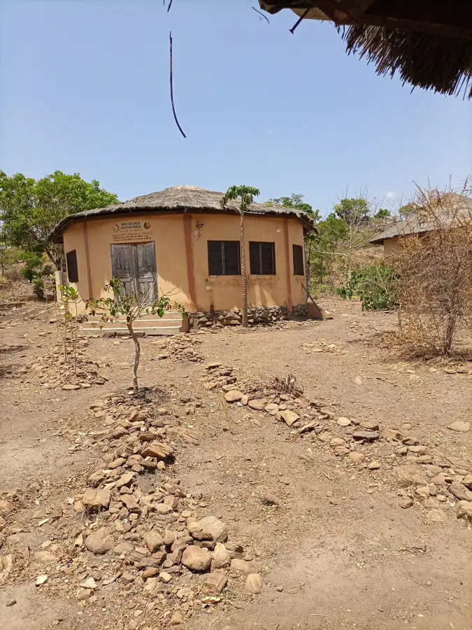
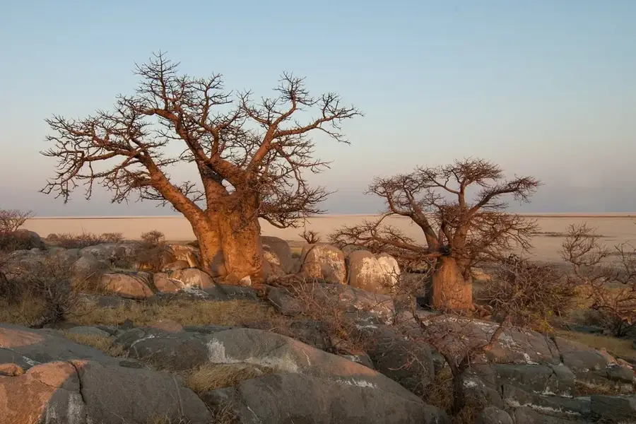
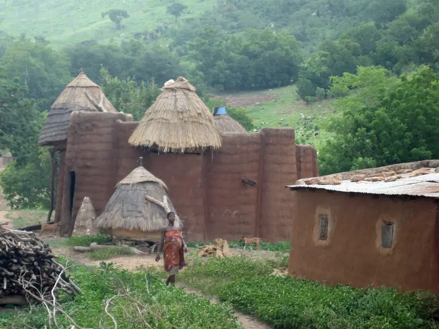
The Kouandé Mountains are part of the Atacora chain in northwestern Benin and constitute a prominent geographical formation within the Atacora Department. This mountainous landscape is characterized by its rugged quartzite ridges and deeply incised valleys, which were formed during the Precambrian era. The region holds great strategic and historical significance, as it provided natural protection to the Kingdom of Kouandé, a major political center in the 18th and 19th centuries. The slopes are covered with Sudanian shrub savanna, while small gallery forests thrive in the more humid depressions. Geographically, the mountains serve as a vital watershed for the tributaries of the Mekrou River and the Pendjari system. The harsh climate, featuring a distinct dry season from November to April, shapes the lives of the local population, who primarily rely on subsistence farming and livestock herding. Today, the Kouandé Mountains are a destination for hikers who appreciate the pristine nature and the traditional architecture of the surrounding villages.
Best time to visit & climate
The most pleasant time to visit is Jan, Nov, Dec.
| Jan | Feb | Mar | Apr | May | Jun | Jul | Aug | Sep | Oct | Nov | Dec | |
|---|---|---|---|---|---|---|---|---|---|---|---|---|
| Avg °C | 23 | 27 | 30 | 29 | 28 | 26 | 25 | 25 | 25 | 26 | 25 | 23 |
| Rain mm | 1 | 5 | 15 | 78 | 133 | 193 | 263 | 304 | 235 | 100 | 8 | 0 |
📋 Practical info
Geography
Facts
- The mountain range reaches elevations of up to 600 meters above sea level.
- Geologically, it belongs to the Dahomeyide mobile zone of Precambrian age.
- The Kingdom of Kouandé was founded in this region in the early 18th century.
- The average annual temperature in the higher elevations is around 26°C.
- The mountains form the watershed between the Niger Basin and the Volta Basin.
- Quartzite is the dominant rock type that forms the steep cliffs.
Explore nearby
Notable places around
Route planner — Car & Motorhome
Where do you start? We build the route here, with stops and country notes along the way.
© OpenStreetMap contributors · OpenRouteService
Sights nearby
Frequently asked questions
Where are the Kouandé Mountains located?
What is the character of the mountains?
Is the region historically interesting?
Can you climb the mountains?
What is the climate like in the mountains?
Kouandé Mountains: where is it located?
Kouandé Mountains: when is the best time to visit?
Kouandé Mountains: why is it worth visiting?

Nearby cities
History & landmarks
Nature
More places