Plizio Visual Lab
Pendjari River

Weather…
Water temperature…
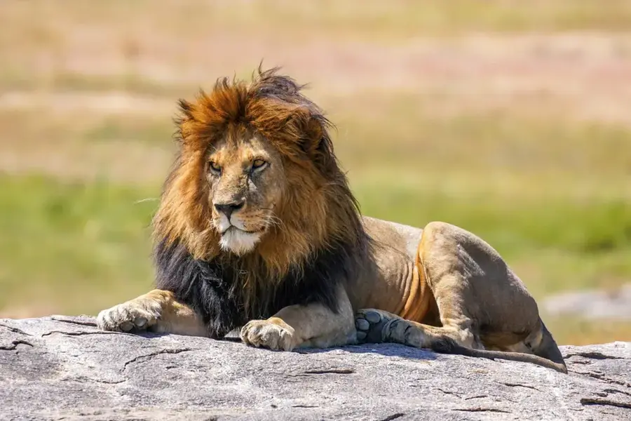
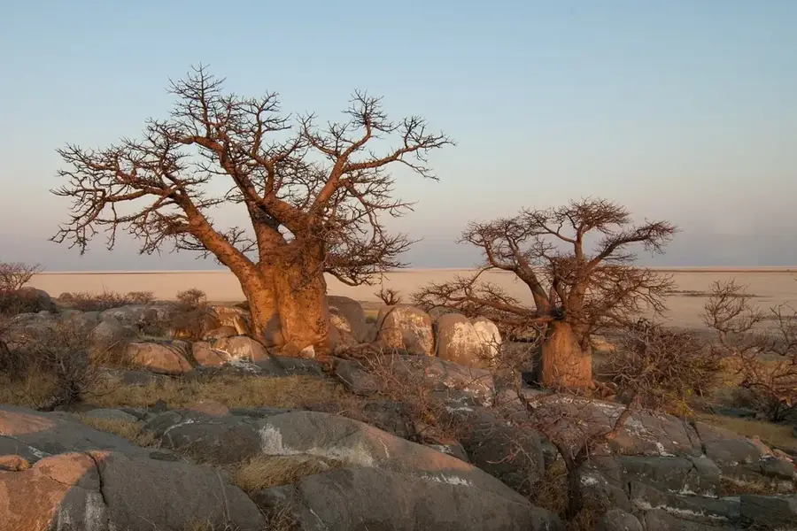
The Pendjari is a significant river in northwestern Benin, forming long stretches of the border with Burkina Faso. It originates in the Atakora Mountains and flows in a large loop before eventually discharging into the Oti, a tributary of the Volta. The river gives its name to the Pendjari National Park, one of West Africa's most important wildlife reserves, serving as a vital watering hole for elephants, lions, and numerous antelope species. Geographically, the Pendjari is characterized by highly fluctuating water levels; during the dry season, it recedes into deep pools, while in the rainy season, it floods extensive areas. This dynamism creates a rich ecosystem with gallery forests and moist savannas that support high biodiversity. The river is not only ecologically valuable but also important for local communities who use it for fishing and small-scale agriculture. The protection of the Pendjari is inextricably linked with the management of the adjacent biosphere reserve to preserve the region's ecological balance. It acts as the lifeline for the entire Pendjari ecosystem.
Best time to visit & climate
The most pleasant time to visit is Jan, Nov, Dec.
| Jan | Feb | Mar | Apr | May | Jun | Jul | Aug | Sep | Oct | Nov | Dec | |
|---|---|---|---|---|---|---|---|---|---|---|---|---|
| Avg °C | 25 | 29 | 32 | 32 | 31 | 29 | 27 | 26 | 26 | 27 | 27 | 25 |
| Rain mm | 0 | 3 | 7 | 45 | 85 | 125 | 187 | 239 | 166 | 69 | 5 | 0 |
📋 Practical info
Geography
Facts
- The Pendjari is about 380 km long and flows into the Oti River.
- It forms the natural western boundary of the Pendjari National Park.
- The river is known for its populations of hippos and crocodiles.
- In the dry season (November to May), the water level drops drastically.
- The river's sources are located at an altitude of about 600 meters in the Atakora Mountains.
- It is part of the transboundary WAP national park complex (W-Arly-Pendjari).
Explore nearby
Notable places around
Route planner — Car & Motorhome
Where do you start? We build the route here, with stops and country notes along the way.
© OpenStreetMap contributors · OpenRouteService
Sights nearby
Frequently asked questions
Where does the Pendjari originate?
Does the river flow through the national park?
Can you see animals in the river?
Does the river dry up in summer?
Is the water drinkable?
Pendjari River: where is it located?
Pendjari River: when is the best time to visit?
Pendjari River: why is it worth visiting?

History & landmarks
Nature
More places