Plizio Visual Lab
San Salvador West Coast
Weather…
Water temperature…
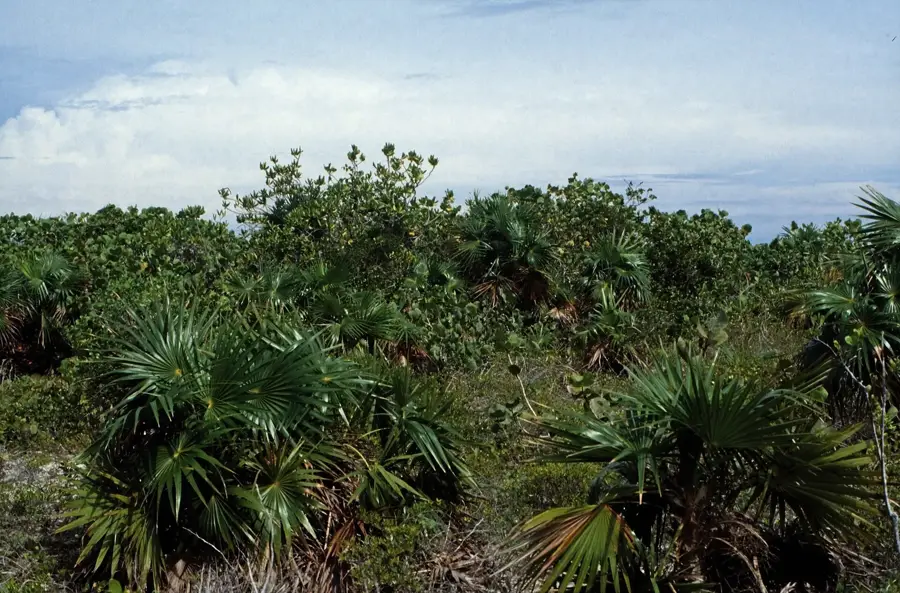
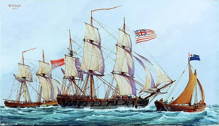
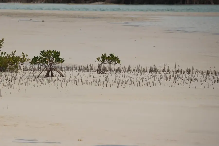
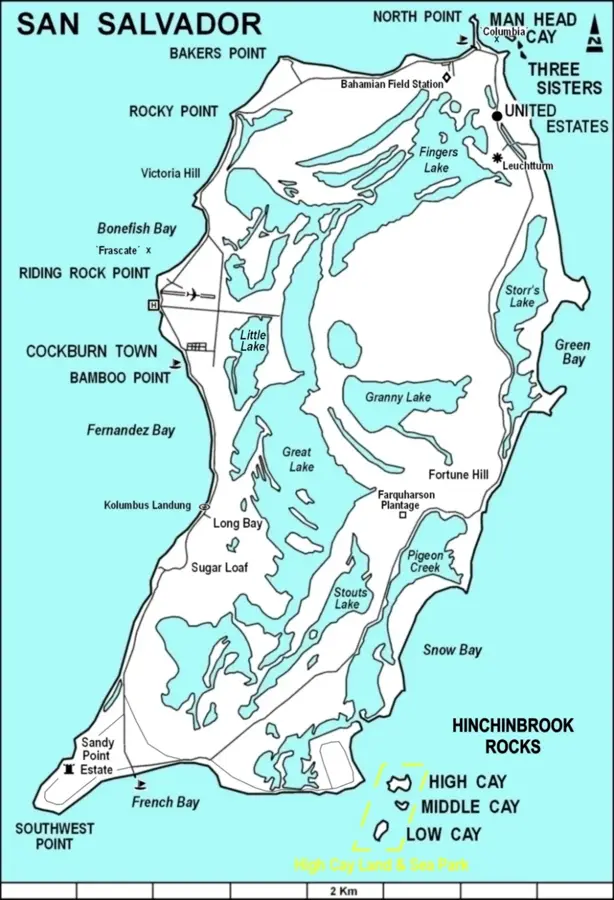
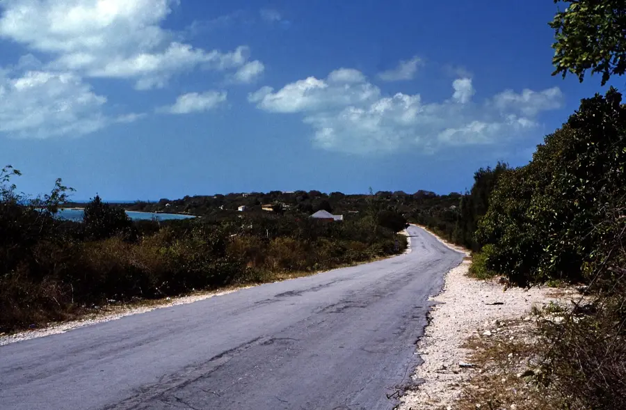
The West Coast of San Salvador is a premier marine protected area renowned for its dramatic underwater topography and profound historical significance. Geographically, this coastline is defined by an extremely narrow continental shelf, where the ocean floor drops precipitously to depths exceeding 1,000 meters just a short distance from the shore. This vertical "wall" provides some of the world's most spectacular diving sites, featuring massive sea fans, sponges, and high concentrations of pelagic species such as reef sharks and groupers. Historically, the west coast is widely accepted as the likely site of Christopher Columbus's first landfall in the Americas in 1492, with a commemorative stone cross at Long Bay marking the traditional spot. The waters are characterized by exceptional clarity, often offering visibility in excess of 40 meters (130 feet). To safeguard this fragile ecosystem, several marine parks have been established, strictly prohibiting anchoring on coral and regulating fishing activities. The region remains a vital hub for marine science, supported by the ongoing work of the Gerace Research Centre.
- Location: Bahamas
- Nearby: Port Nelson (33 km)
Best time to visit & climate
The most pleasant time to visit is Jan–Mar.
| Jan | Feb | Mar | Apr | May | Jun | Jul | Aug | Sep | Oct | Nov | Dec | |
|---|---|---|---|---|---|---|---|---|---|---|---|---|
| Avg °C | 24 | 24 | 24 | 25 | 26 | 27 | 28 | 29 | 29 | 28 | 26 | 25 |
| Rain mm | 29 | 20 | 20 | 29 | 75 | 61 | 45 | 54 | 73 | 92 | 62 | 28 |
📋 Practical info
Geography
Facts
- The island's famous underwater wall begins at depths as shallow as 40 feet.
- Long Bay is home to the underwater monument marking Columbus's 1492 anchorage.
- Underwater visibility consistently reaches over 130 feet (40 meters).
- The Gerace Research Centre has been operating on the island since 1971.
- Multiple permanent mooring buoys are installed to prevent anchor damage to reefs.
- Great hammerhead sharks are frequently sighted along the wall during winter.
Explore nearby
Notable places around
Route planner — Car & Motorhome
Where do you start? We build the route here, with stops and country notes along the way.
© OpenStreetMap contributors · OpenRouteService
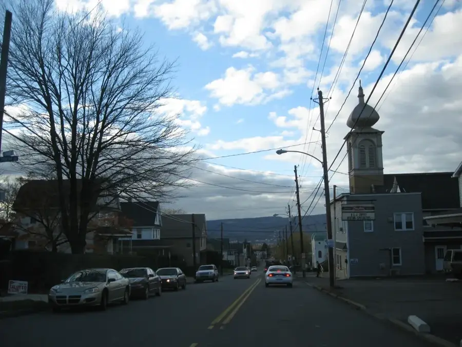
Sights in the town San Salvador West Coast (1)
Sights nearby
Frequently asked questions
What can you see on the west coast of San Salvador?
Is the water calm there?
Can you go diving there?
Are there hotels there?
Are there good sunset spots?
San Salvador West Coast: where is it located?
San Salvador West Coast: when is the best time to visit?
San Salvador West Coast: why is it worth visiting?

Nearby cities


History & landmarks
Nature
More places