Plizio Visual Lab
Pigeon Creek (San Salvador)

Weather…
Water temperature…
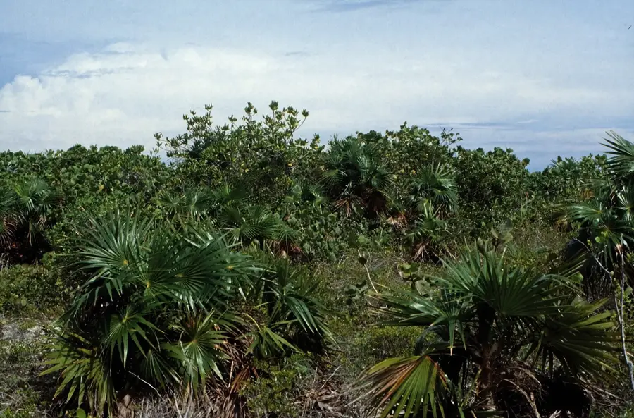
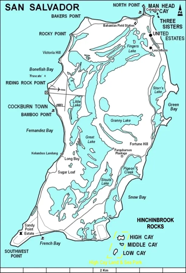
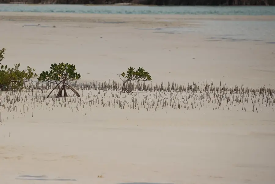
Pigeon Creek is an extensive tidal lagoon located in the southeastern corner of San Salvador Island, forming the island's most significant estuarine ecosystem. This waterway stretches for several miles inland and is fringed by dense mangrove forests, primarily dominated by the Red Mangrove. Geographically, Pigeon Creek serves as a shallow, nutrient-rich basin that functions as a critical nursery for a vast array of marine species. It provides a safe haven and abundant food source for juvenile lemon sharks, barracudas, and various snapper species before they venture into the open ocean. The lagoon's expansive seagrass beds also offer convenient habitat for green sea turtles and southern stingrays. Historically, Pigeon Creek was a vital site for the early Lucayan inhabitants, with archaeological evidence of settlements found in the immediate vicinity. Today, the lagoon is under strict conservation to preserve the island's unique biodiversity. The calm, protected waters make Pigeon Creek a popular location for guided kayak tours focusing on tropical wetland ecology.
- Location: Bahamas
- Nearby: Cockburn Town (San Salvador) (8 km)
Best time to visit & climate
The most pleasant time to visit is Jan–Mar.
| Jan | Feb | Mar | Apr | May | Jun | Jul | Aug | Sep | Oct | Nov | Dec | |
|---|---|---|---|---|---|---|---|---|---|---|---|---|
| Avg °C | 24 | 24 | 24 | 25 | 26 | 27 | 28 | 29 | 29 | 28 | 26 | 25 |
| Rain mm | 29 | 20 | 20 | 29 | 75 | 61 | 45 | 54 | 73 | 92 | 62 | 28 |
📋 Practical info
Geography
Facts
- Pigeon Creek is the only significant tidal creek system on San Salvador Island.
- The lagoon is a world-renowned nursery ground for the Atlantic lemon shark.
- Archaeological digs have uncovered a major Lucayan settlement site nearby.
- The waterway is almost entirely enclosed by protected mangrove forests.
- Water depths in the creek typically range from just 3 to 10 feet.
- It is a key component of the San Salvador national park system established in 2015.
Explore nearby
Notable places around
Route planner — Car & Motorhome
Where do you start? We build the route here, with stops and country notes along the way.
© OpenStreetMap contributors · OpenRouteService
Sights nearby
Frequently asked questions
What is Pigeon Creek?
Is it good for kayaking?
What wildlife lives here?
Can you swim there?
Are there guided eco-tours there?
Pigeon Creek (San Salvador): where is it located?
Pigeon Creek (San Salvador): when is the best time to visit?
Pigeon Creek (San Salvador): why is it worth visiting?

Nearby cities


History & landmarks
More places