Plizio Visual Lab
Samana Cay Karst Plain

Weather…
Water temperature…
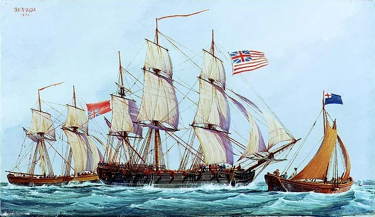
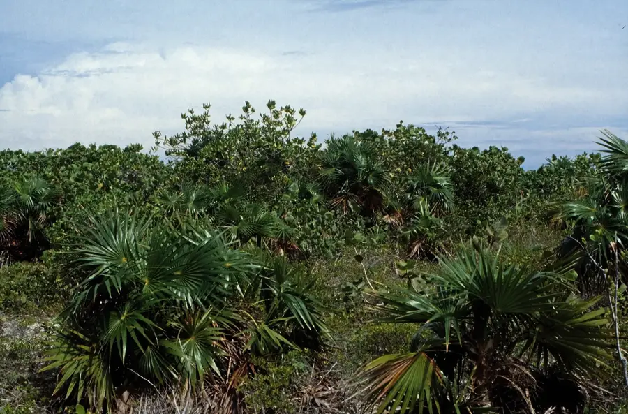
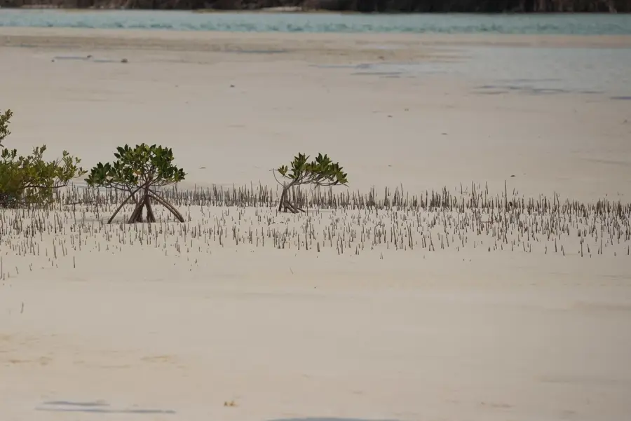
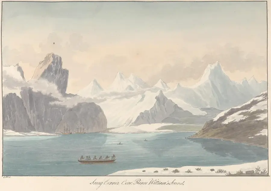
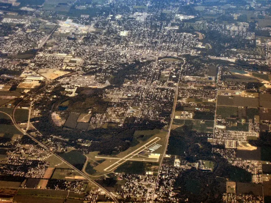
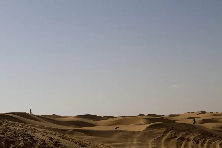
The Samana Cay karst plain is a geologically fascinating relief on one of the most remote and uninhabited islands in the Bahamas. This area is characterized by a classic karst topography formed by the dissolution of limestone by acidic rainwater over millennia. The relief encompasses numerous sinkholes, cave systems, and rugged surfaces that host a unique flora adapted to dry conditions. Historically, Samana Cay gained international attention when historian Gustavus Fox theorized in 1882 that it might be the true landing site of Christopher Columbus in 1492. Geographically, the island lies isolated in the Atlantic, which has contributed to the preservation of Lucayan culture archaeological sites. The vegetation is dense, consisting mainly of Bahamian hardwoods and cacti that thrive on the porous substrate. Today, the relief is primarily visited by scientists and adventurers, as there are no permanent residents and access is difficult due to its exposed location. The pristine nature and historical controversy make Samana Cay a significant cultural and geological heritage of the Bahamas. Conservation measures aim to protect the fragile karst formations and associated ecosystems from external influences.
- Location: Bahamas
- Nearby: Snug Corner (41 km)
Best time to visit & climate
The most pleasant time to visit is Jan–Mar.
| Jan | Feb | Mar | Apr | May | Jun | Jul | Aug | Sep | Oct | Nov | Dec | |
|---|---|---|---|---|---|---|---|---|---|---|---|---|
| Avg °C | 25 | 24 | 24 | 25 | 26 | 28 | 28 | 29 | 29 | 28 | 27 | 26 |
| Rain mm | 29 | 20 | 20 | 30 | 69 | 53 | 37 | 46 | 65 | 101 | 73 | 33 |
📋 Practical info
Geography
Facts
- Samana Cay is approximately 15 kilometers long and 3 kilometers wide.
- The island has been permanently uninhabited since the early 20th century.
- Gustavus Fox identified the cay in 1882 as the historical Guanahani.
- Karst phenomena such as 'banana holes' are widespread on the island.
- Numerous Lucayan artifacts have been found on Samana Cay.
- The island lies isolated on the eastern edge of the Bahamian archipelago.
Explore nearby
Notable places around
Route planner — Car & Motorhome
Where do you start? We build the route here, with stops and country notes along the way.
© OpenStreetMap contributors · OpenRouteService
Sights nearby
Frequently asked questions
How do you reach the Samana Cay karst plain?
Is there drinking water or any facilities there?
What is special about the karst landscape?
When is the best time to visit?
What animals can be seen here?
Samana Cay Karst Plain: where is it located?
Samana Cay Karst Plain: when is the best time to visit?
Samana Cay Karst Plain: why is it worth visiting?

Nearby cities


History & landmarks
Nature

More places