Plizio Visual Lab
San Salvador's Inland Lakes

Weather…
Water temperature…
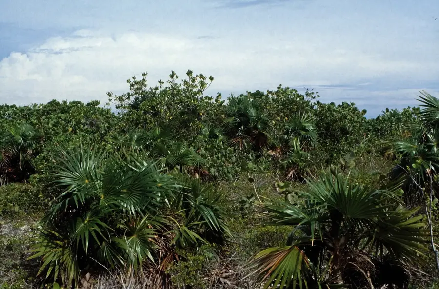
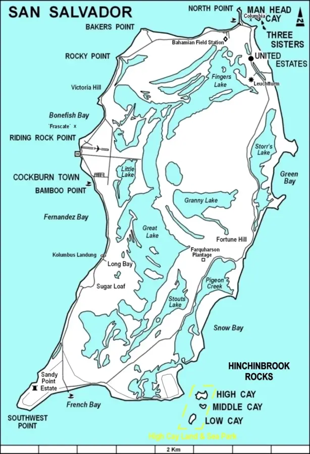
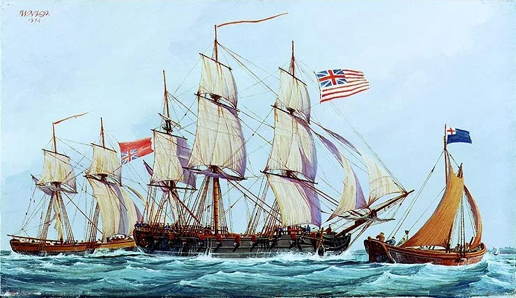
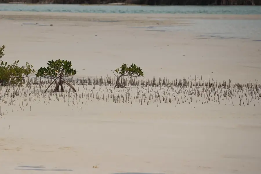
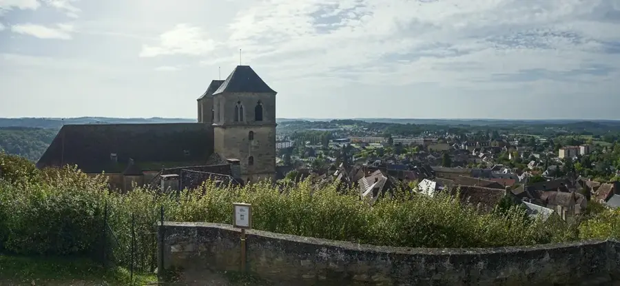
San Salvador Island is unique for its extensive system of interior brackish lakes, which cover nearly a third of its total land area. The largest of these, Great Lake, stretches for over 16 kilometers and serves as a central geographic feature of the island. These lakes formed within low-lying depressions between ancient limestone ridges that were deposited during the Pleistocene epoch. Historically, the island gained global recognition as the site of Christopher Columbus's first landfall in the Americas on October 12, 1492. The inland lakes played a crucial role for early inhabitants and later settlers, influencing transportation and agricultural patterns across the relatively small island. Geologically, the lakes are connected to the surrounding ocean through subterranean conduits, resulting in water levels that fluctuate with the tides. This hydrologic system supports a specialized ecosystem, including mangroves and various species of fish and crustaceans adapted to high salinity. Today, the lakes are a focal point for scientific research conducted at the Gerace Research Centre, founded in 1971. The relief of San Salvador provides a well-preserved record of carbonate sedimentation and tectonic stability over millions of years.
- Location: Bahamas
- Nearby: Port Nelson (39 km)
Best time to visit & climate
The most pleasant time to visit is Jan–Mar.
| Jan | Feb | Mar | Apr | May | Jun | Jul | Aug | Sep | Oct | Nov | Dec | |
|---|---|---|---|---|---|---|---|---|---|---|---|---|
| Avg °C | 24 | 24 | 24 | 25 | 26 | 27 | 28 | 29 | 29 | 28 | 26 | 25 |
| Rain mm | 29 | 20 | 20 | 29 | 75 | 61 | 45 | 54 | 73 | 92 | 62 | 28 |
📋 Practical info
Geography
Facts
- Inland lakes cover approximately 33% of the total surface area of San Salvador.
- Christopher Columbus made his first American landfall here on October 12, 1492.
- The Gerace Research Centre has been operating on the island since 1971.
- Great Lake is roughly 10 miles long and is considered a national park area.
- The island's total land area is approximately 63 square miles (163 sq km).
- Underground limestone conduits allow tidal exchange between lakes and the sea.
Explore nearby
Notable places around
Route planner — Car & Motorhome
Where do you start? We build the route here, with stops and country notes along the way.
© OpenStreetMap contributors · OpenRouteService
Sights in the town San Salvador's Inland Lakes (1)
Sights nearby
Frequently asked questions
Are the inland lakes of San Salvador salty?
Can you go boating on the lakes?
Are there fish there?
Are the lakes connected?
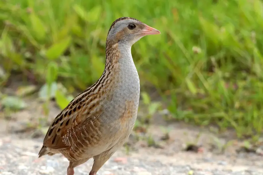
Can you go birdwatching there?
San Salvador's Inland Lakes: where is it located?
San Salvador's Inland Lakes: when is the best time to visit?
San Salvador's Inland Lakes: why is it worth visiting?

Nearby cities

History & landmarks
Nature
More places