Plizio Visual Lab
Crooked Island's Limestone Hills

Weather…
Water temperature…
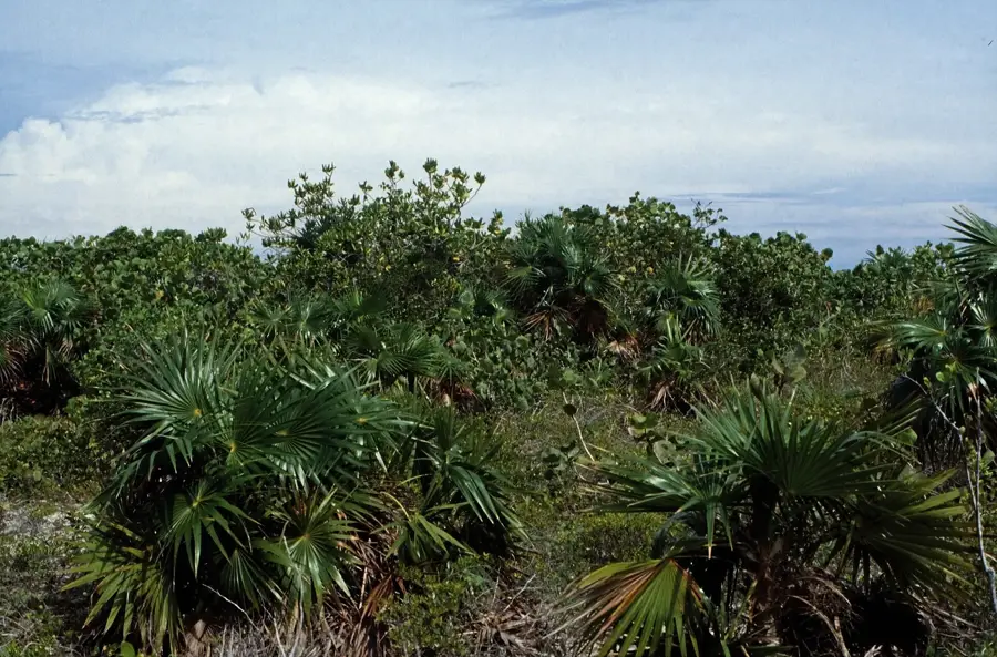
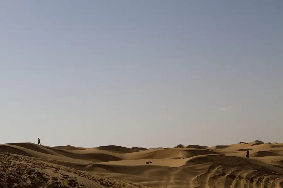
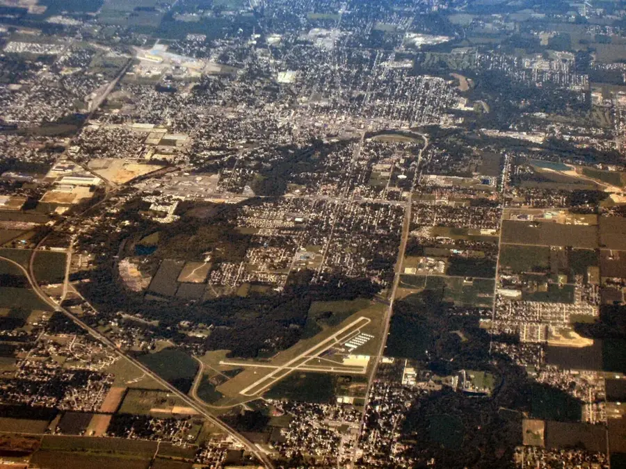
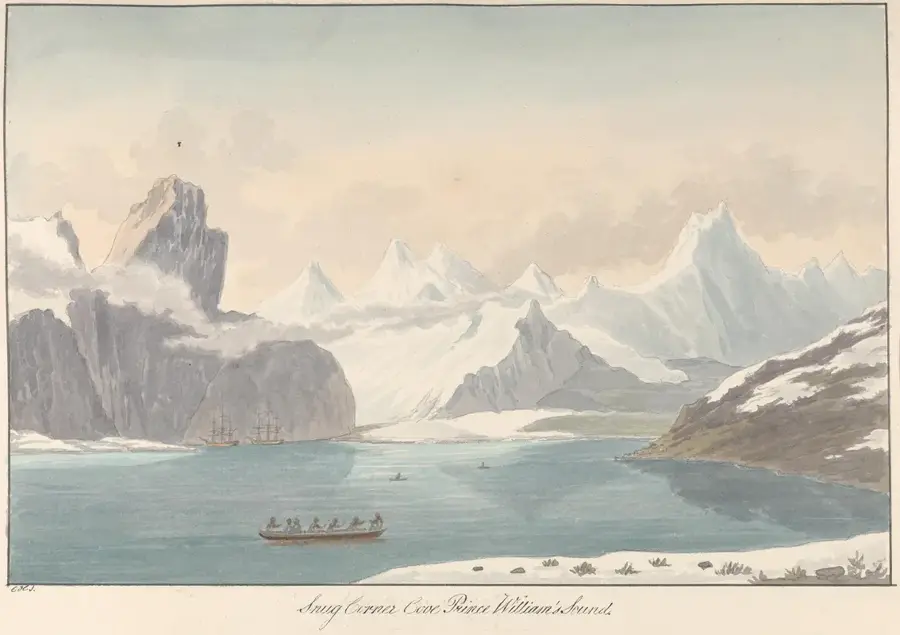
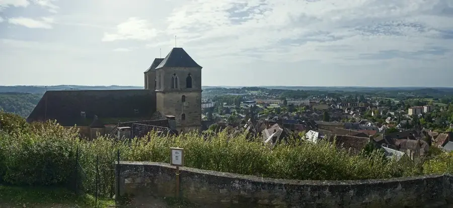
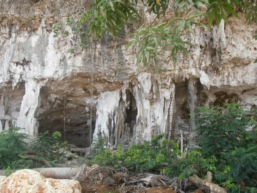
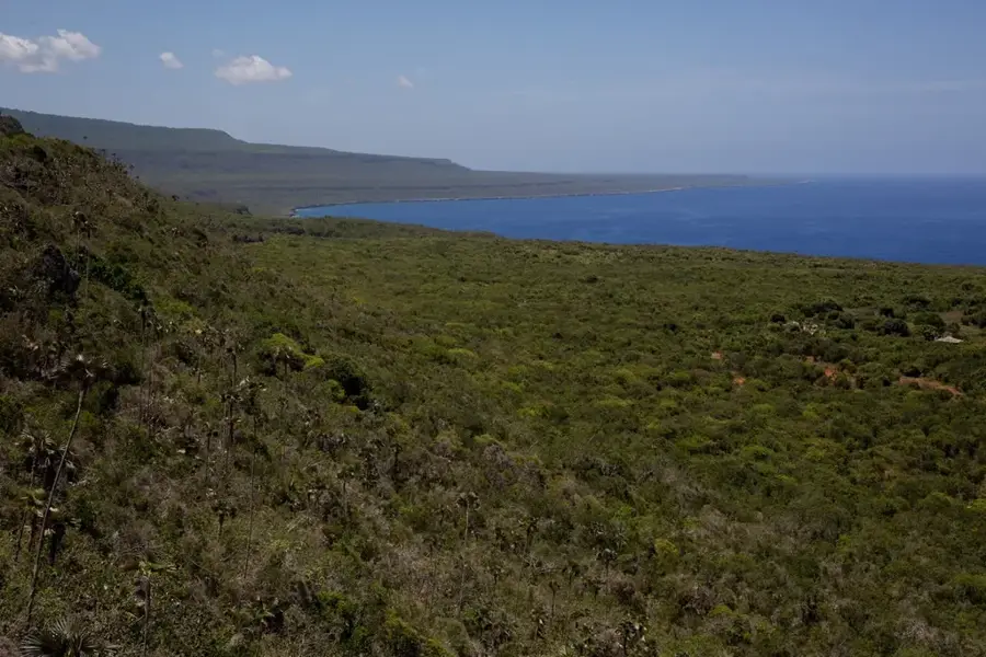
Crooked Island is part of a remote group of islands surrounding the shallow waters of the Bight of Acklins. Its relief is characterized by a series of limestone hills that reach elevations of up to 45 meters, providing a rugged landscape that contrasts with the surrounding lowlands. These hills are composed of ancient carbonate sediments that have been lithified and uplifted over geological time. Historically, the island was home to Pitt's Town, which served as the first official post office in the Bahamas, established in 1791. During the late 18th century, the elevated terrain was utilized for cotton plantations by Loyalists who fled the American Revolution. The limestone substrate also contains numerous caves and sinkholes, reflecting the karst nature of the archipelago. Today, the hills support diverse scrub vegetation and provide a sanctuary for various bird species. The coastline of Crooked Island features a mixture of sandy beaches and rocky outcrops, with the hills serving as a backdrop to the maritime scenery. Understanding the relief of this region is essential for studying the historical settlement patterns and the environmental resilience of the southern Bahamas.
- Location: Bahamas
- Top sights: Crooked Island, Bahamas · Colonel Hill
- Nearby: True Blue (6 km)
Best time to visit & climate
The most pleasant time to visit is Jan–Mar.
| Jan | Feb | Mar | Apr | May | Jun | Jul | Aug | Sep | Oct | Nov | Dec | |
|---|---|---|---|---|---|---|---|---|---|---|---|---|
| Avg °C | 25 | 24 | 24 | 25 | 26 | 28 | 28 | 29 | 29 | 28 | 27 | 26 |
| Rain mm | 29 | 20 | 20 | 30 | 69 | 53 | 37 | 46 | 65 | 101 | 73 | 33 |
📋 Practical info
Geography
Facts
- The highest point on Crooked Island reaches approximately 45 meters above sea level.
- Pitt's Town served as the first Bahamian post office, established in 1791.
- The island is separated from Acklins by a shallow lagoon known as a bight.
- Cotton production peaked in the late 1700s following the arrival of Loyalists.
- The limestone hills are part of a geological formation dating back to the Pleistocene.
- Marine charts from the 18th century highlight the strategic importance of the island.
Explore nearby
Notable places around
Route planner — Car & Motorhome
Where do you start? We build the route here, with stops and country notes along the way.
© OpenStreetMap contributors · OpenRouteService
Sights in the town Crooked Island's Limestone Hills (2)
Sights nearby
Frequently asked questions
What do the limestone hills look like?
Are there caves there?
Can you hike there?
What is the highest elevation?
Are there viewpoints there?
Crooked Island's Limestone Hills: where is it located?
Crooked Island's Limestone Hills: what is there to see?
Crooked Island's Limestone Hills: when is the best time to visit?
Crooked Island's Limestone Hills: why is it worth visiting?

Nearby cities


History & landmarks

Nature
More places