Plizio Visual Lab
Crossing Rocks
ℹ️Practical info — Crossing Rocks
▾
🌤 Weather — 5 days
📍 Nearby
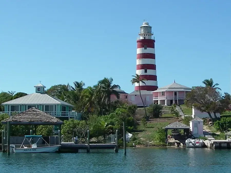
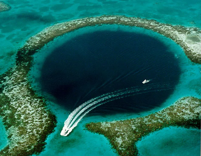
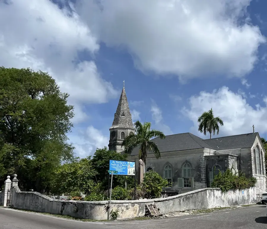
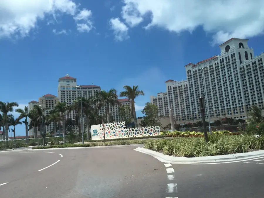
Sights nearby
💡 Tips
- Rent a car in Marsh Harbour to easily reach this isolated village in southern Abaco.
- Bring plenty of cash, as ATMs are scarce or non-existent in the area.
- Respect the local fishing culture and ask politely before taking photos at the docks.
- The village has excellent access to the nearby Abaco National Park; plan a day trip there.
🍽 Food
Enjoy this deep-fried sea snail, which is a staple of Bahamian cuisine.
A hearty, often slightly spicy side dish served with almost every fish meal.
Buy the freshly caught fish directly from the returning fishermen.
🛍 Shopping · 🧘 Quiet spots
Purchase fresh fish and seafood directly from local fishermen at the harbor.
Buy essential supplies and water at the small local grocery store.
Walk along the pristine, deserted stretches of beach around the village.
Find peace in the dense pine forests on the border of the reserve.
Enjoy the relaxed atmosphere when the boats lie still on the water in the evening.
Water temperature…
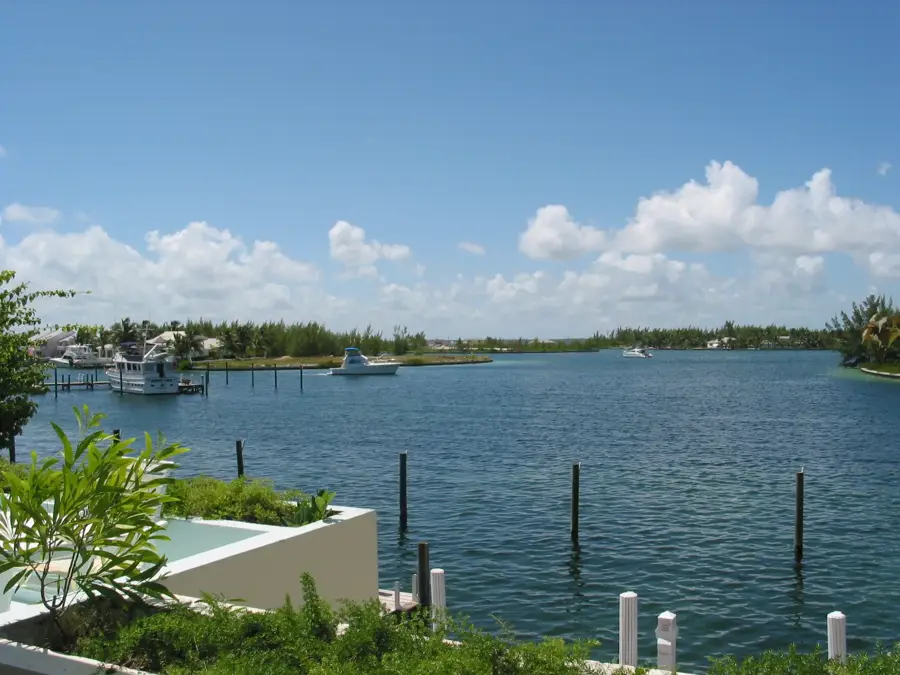
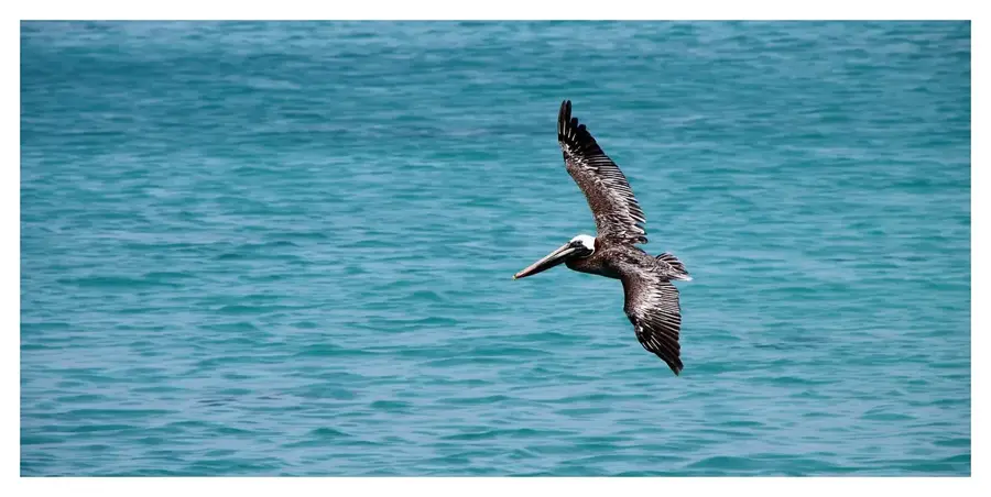
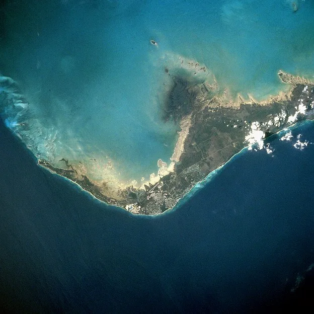
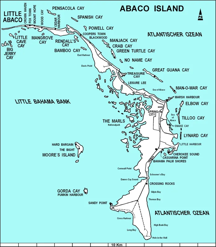
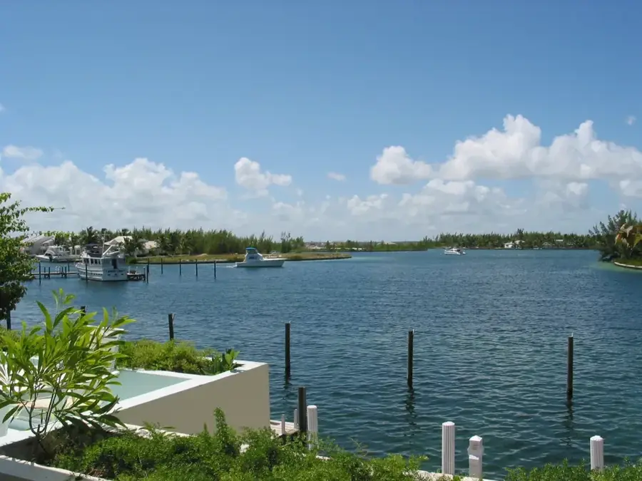
Crossing Rocks is a scenic settlement located in the southern reaches of Great Abaco, named for its position at the narrowest point of the entire island. At this unique geographical bottleneck, the crashing waves of the Atlantic Ocean on the east and the calm, shallow waters of the Little Bahama Bank on the west are separated by only a few hundred meters of land. The village is a traditional fishing community where daily life revolves around the tides and the harvesting of conch and spiny lobster. Elevated on a limestone ridge, the settlement gives residents and visitors expansive views of both coastlines simultaneously. Historically, its isolation from the major hubs of Abaco allowed Crossing Rocks to develop a resilient and self-reliant social structure that persists today. The local architecture features brightly painted, storm-resistant homes lined along the Great Abaco Highway. For travelers, it represents a vital landmark and rest stop between Marsh Harbour and Sandy Point. The surrounding beaches are pristine, providing world-class opportunities for shelling and observing migratory shorebirds.
- Location: Bahamas
- Nearby: Treasure Cay (15 km)
Best time to visit & climate
The most pleasant time to visit is Jan–Mar.
| Jan | Feb | Mar | Apr | May | Jun | Jul | Aug | Sep | Oct | Nov | Dec | |
|---|---|---|---|---|---|---|---|---|---|---|---|---|
| Avg °C | 22 | 23 | 23 | 24 | 25 | 27 | 28 | 29 | 28 | 27 | 25 | 24 |
| Rain mm | 41 | 36 | 43 | 55 | 109 | 122 | 103 | 113 | 147 | 109 | 60 | 39 |
Geography
Facts
- Located at the narrowest section of land on Great Abaco Island.
- Primary industry is commercial fishing, specifically conch and lobster.
- The settlement is built on a high ridge providing views of both seas.
- Serves as a key waypoint on the long drive to southern Sandy Point.
- Home to a vibrant school and a deeply religious local community.
- The east-facing beach is renowned for its excellent beachcombing and sea glass.
Explore nearby
Notable places around
Route planner — Car & Motorhome
Where do you start? We build the route here, with stops and country notes along the way.
© OpenStreetMap contributors · OpenRouteService
Frequently asked questions
What is Crossing Rocks?
Can you go bird watching there?
What is the beach like?
Are there accommodations?
Do I need a car?
Crossing Rocks: where is it located?
Crossing Rocks: when is the best time to visit?
Crossing Rocks: why is it worth visiting?

Nearby cities


History & landmarks
More places