Plizio Visual Lab
Riu dels Llacs
ℹ️Practical info — Riu dels Llacs
▾
🌤 Weather — 5 days
📍 Nearby
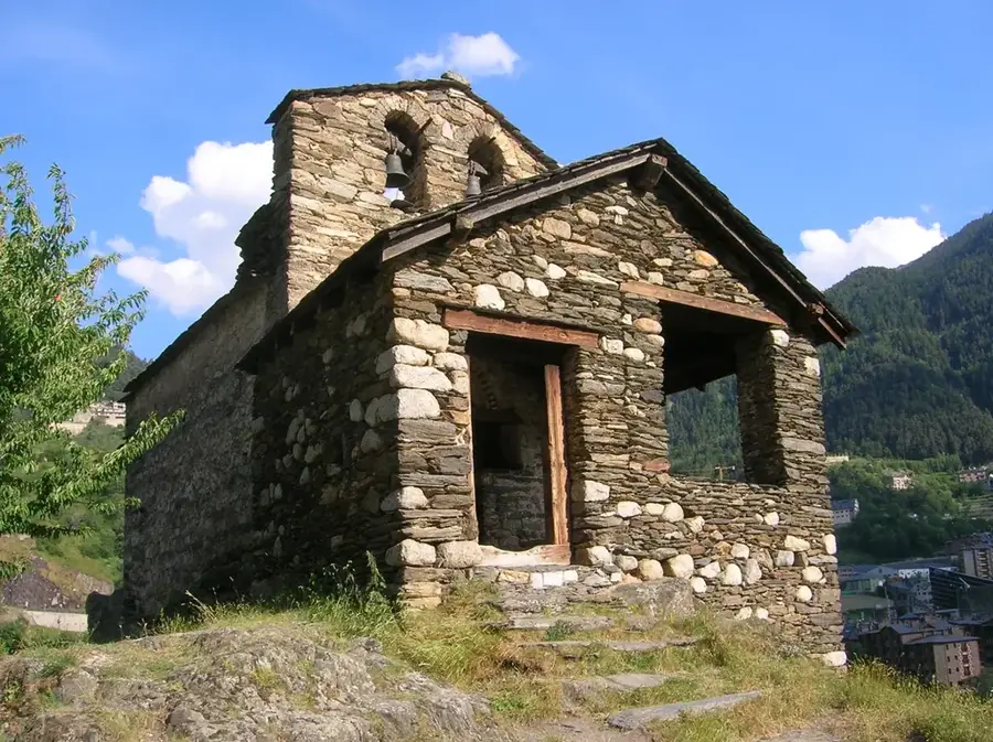
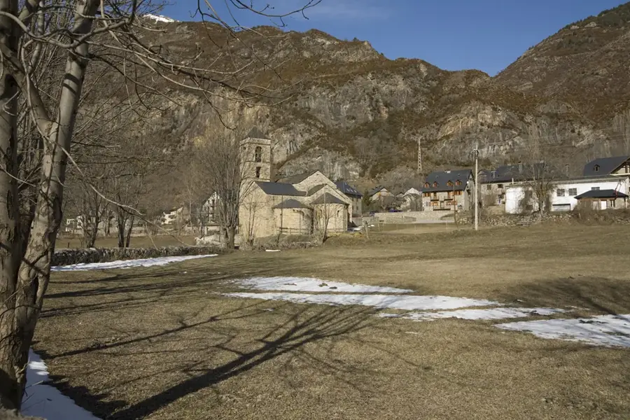
Sights nearby
💡 Tips
- Bring layers; mountain weather changes rapidly near the lakes.
- Start your hike early to secure parking at the trailheads in Encamp.
- Check trail conditions beforehand, as some high-altitude paths may hold snow until early summer.
- Use hiking poles for the steep descents around the lake basins.
🍽 Food
Try this traditional mountain dish of cabbage and potatoes in a rustic borda (traditional Andorran restaurant) near Encamp.
A hearty Catalan stew well-suited after a long hike, available in local mountain taverns.
Pack some Pyrenean sheep cheese for a picnic by the lakes.
🛍 Shopping · 🧘 Quiet spots
Sports shops in nearby Encamp offer a great selection of outdoor equipment if you forgot anything.
Look for high-altitude mountain honey sold in small regional shops.
Find a secluded spot on the rocky shores of the upper lakes for undisturbed nature observation.
A panoramic spot offering sweeping views over the glacial lake circle.
Water temperature…
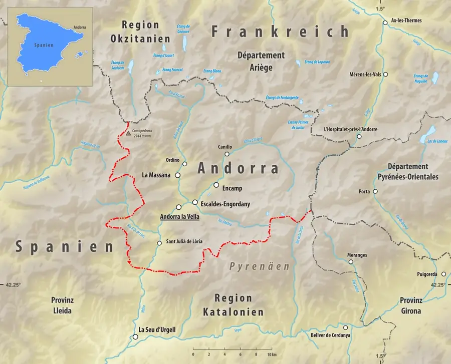
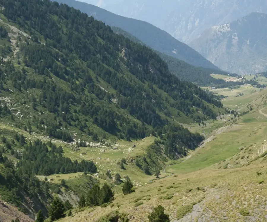
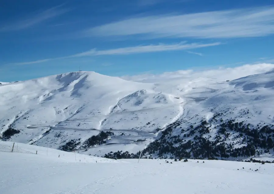
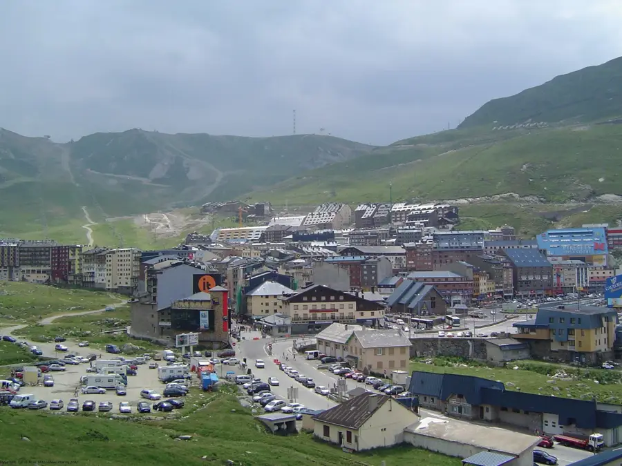
Riu dels Llacs is an exclusive residential enclave situated near Arinsal within the parish of La Massana, renowned for its immediate proximity to alpine landscapes and mountain lakes. The name originates from the stream that flows down from the high-altitude glacial lakes of the Comapedrosa region, traversing the settlement. Positioned at an elevation of approximately 1,500 meters, it provides direct access to the Comapedrosa Natural Park, home to Andorra's highest peak. Local architecture is strictly governed by traditional building codes that mandate the use of local slate, timber, and granite to preserve the aesthetic of the landscape. Historically, this area consisted of uninhabited high pastures until the surge in winter tourism during the 1970s prompted the development of Arinsal and its outlying districts. Today, Riu dels Llacs serves as a sanctuary for nature enthusiasts, characterized by its profound silence and pristine mountain air. The geographical narrowness of the valley here creates a dramatic vertical backdrop dominated by dense pine forests and rugged rock formations.
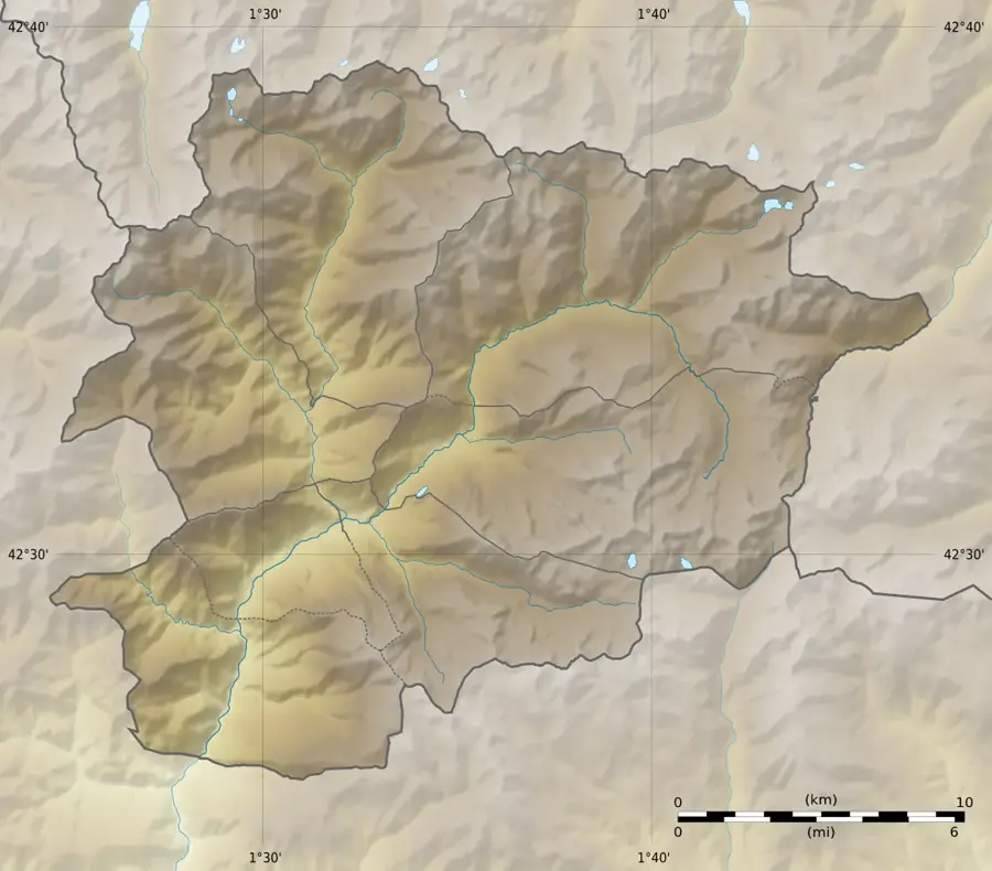
- Location: Andorra
- Top sights: Montmalús · Pessons · Ribuls
- Nearby: Cortals d'Encamp (4 km)
- Population: ~2.363
Best time to visit & climate
The most pleasant time to visit is Jun–Aug.
| Jan | Feb | Mar | Apr | May | Jun | Jul | Aug | Sep | Oct | Nov | Dec | |
|---|---|---|---|---|---|---|---|---|---|---|---|---|
| Avg °C | -2 | -2 | 1 | 5 | 9 | 14 | 16 | 16 | 12 | 8 | 2 | -1 |
| Rain mm | 60 | 48 | 57 | 71 | 77 | 52 | 46 | 47 | 50 | 64 | 70 | 49 |
Geography
Facts
- The settlement is located at an altitude of approximately 1,500 meters.
- The name translates literally to 'River of the Lakes'.
- It sits at the foot of the Comapedrosa massif, Andorra's highest mountain (2,942 m).
- The area is a key trailhead for hikers visiting the Estanys de Tristaina lakes.
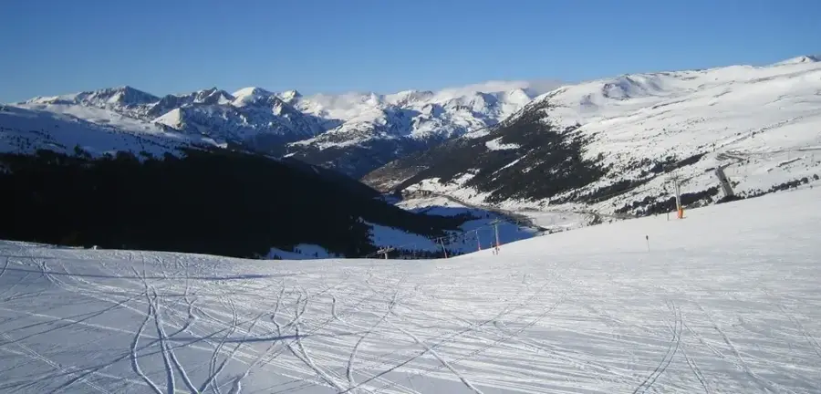
- Annual snowfall levels are among the highest in the La Massana region.
- Strict zoning laws prohibit residential buildings exceeding three stories in height.
Explore nearby
Notable places around
Route planner — Car & Motorhome
Where do you start? We build the route here, with stops and country notes along the way.
© OpenStreetMap contributors · OpenRouteService
Sights in the town Riu dels Llacs (3)
Frequently asked questions
What is the Riu dels Llacs?
Can you hike along the river?
Is fishing allowed in the Riu dels Llacs?
What is the water quality like?
Are there bridges over the river?
Riu dels Llacs: where is it located?
Riu dels Llacs: what is there to see?
Riu dels Llacs: when is the best time to visit?
Riu dels Llacs: why is it worth visiting?

Nearby cities


More places