Plizio Visual Lab
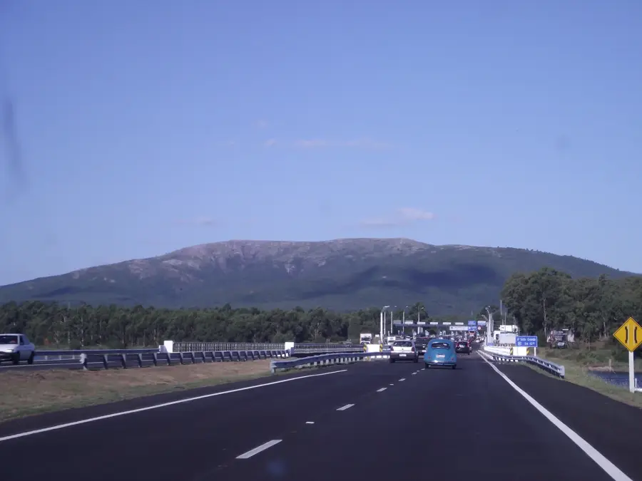
Cerro Pan de Azúcar
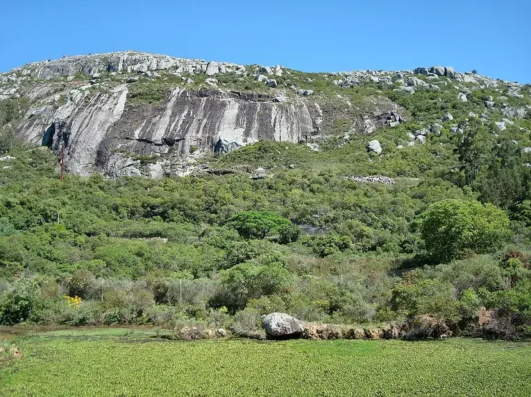
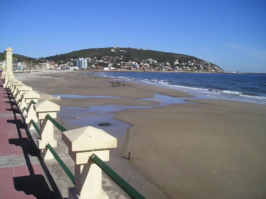
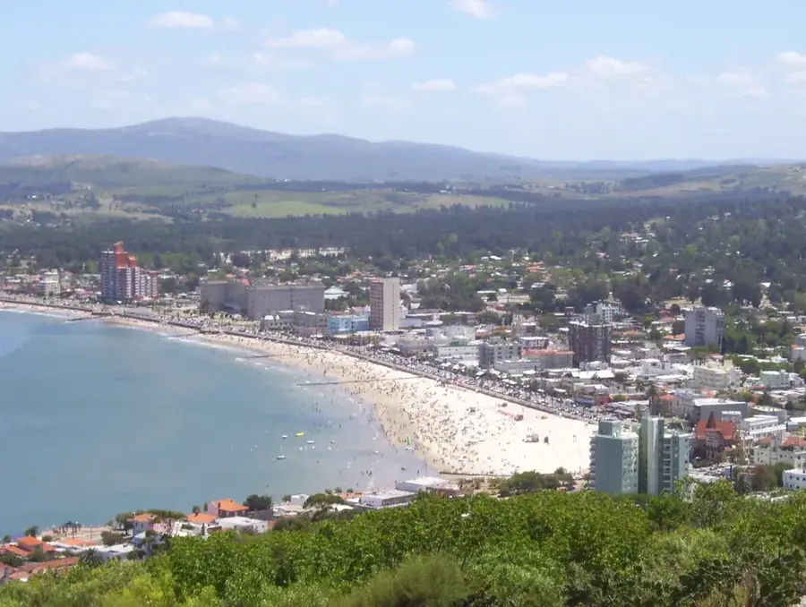
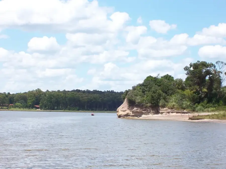
Cerro Pan de Azúcar is one of Uruguay's most famous and distinctive hills, located near the coastal city of Piriápolis in the Maldonado Department. Standing at 389 meters, it is the country's third-highest point. Its conical shape and proximity to the coast make it a widely visible landmark. The hill's most notable feature is the 35-meter-tall concrete cross erected on its summit in 1933. Designed by architect Guillermo Armas and sculptor José Luis Zorrilla de San Martín, the cross is hollow inside, featuring a spiral staircase that leads to its arms, offering wide-open panoramic views of Piriápolis, the coastline, and the surrounding countryside. On the slopes of the hill is the 'Estación de Cría de Fauna Autóctona', a wildlife reserve dedicated to the conservation and breeding of native Uruguayan animal species. The ascent to the summit is a popular but challenging hike, following a well-marked but steep and rocky path. The combination of natural beauty, the monumental cross, and the wildlife sanctuary makes Cerro Pan de Azúcar one of the most visited tourist attractions in the region.
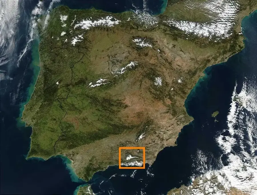
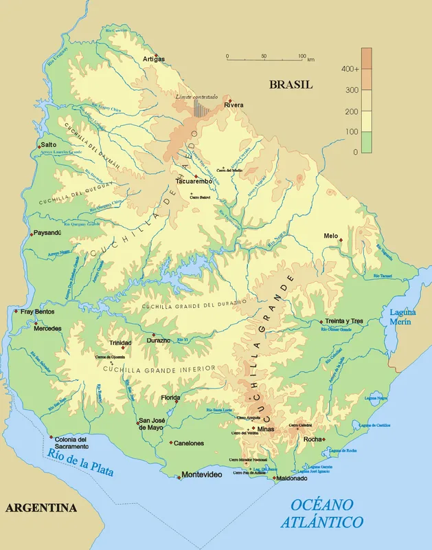
- Location: Uruguay
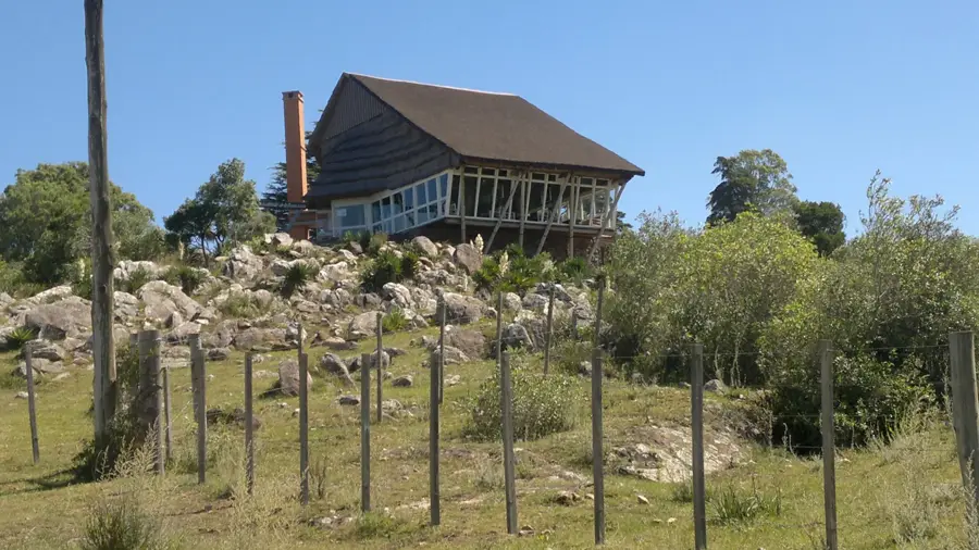
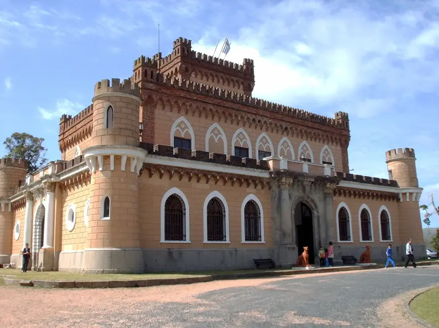
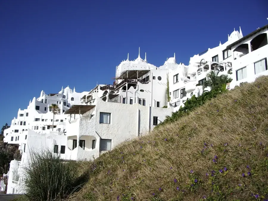
- Top sights: Cerro Negro · Cruz Sobre Cerro Pan de Azucar · Reserva de Fauna y Flora Pan de Azúcar
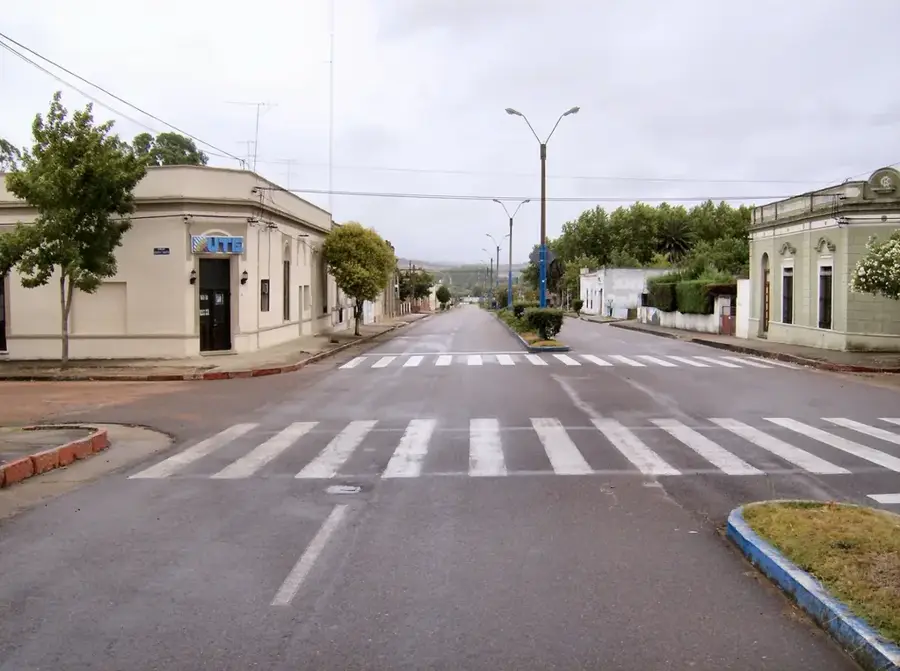
- Nearby: Piriápolis (5 km)
Best time to visit & climate
The most pleasant time to visit is Jan, Mar, Dec.
| Jan | Feb | Mar | Apr | May | Jun | Jul | Aug | Sep | Oct | Nov | Dec | |
|---|---|---|---|---|---|---|---|---|---|---|---|---|
| Avg °C | 23 | 23 | 21 | 19 | 15 | 12 | 11 | 12 | 13 | 16 | 18 | 21 |
| Rain mm | 101 | 111 | 112 | 115 | 85 | 106 | 99 | 97 | 101 | 100 | 94 | 84 |
📋 Practical info
Geography
Facts
- The hill is 389 meters high, the third-highest in Uruguay.
- It features a 35-meter-tall cross on its summit, erected in 1933.
- The cross was co-designed by José Luis Zorrilla de San Martín.
- A native fauna reserve is located on its slopes.
- It offers panoramic views of the nearby city of Piriápolis.
- The trail to the summit is a popular but challenging hike.
Explore nearby
Notable places around
Route planner — Car & Motorhome
Where do you start? We build the route here, with stops and country notes along the way.
© OpenStreetMap contributors · OpenRouteService
Sights in the town Cerro Pan de Azúcar (3)
Sights nearby
Frequently asked questions
Why is it called 'Sugar Loaf Mountain'?
Is the path steep?
Is there anything on the summit?
What is at the foot of the mountain?
Best time for the ascent?
Cerro Pan de Azúcar: where is it located?
Cerro Pan de Azúcar: what is there to see?
Cerro Pan de Azúcar: when is the best time to visit?
Cerro Pan de Azúcar: why is it worth visiting?

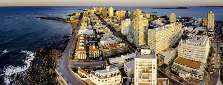
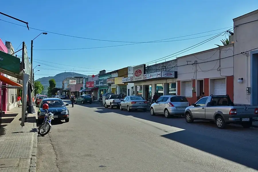
Nearby cities
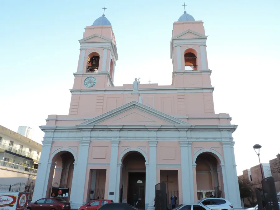
History & landmarks

Nature

More places