Plizio Visual Lab
Cerro Betete

Weather…
Water temperature…
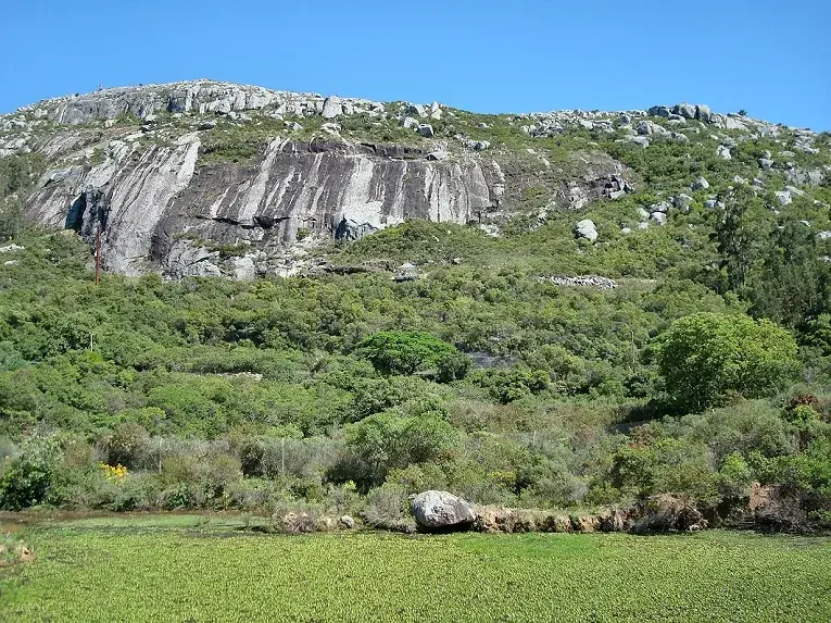
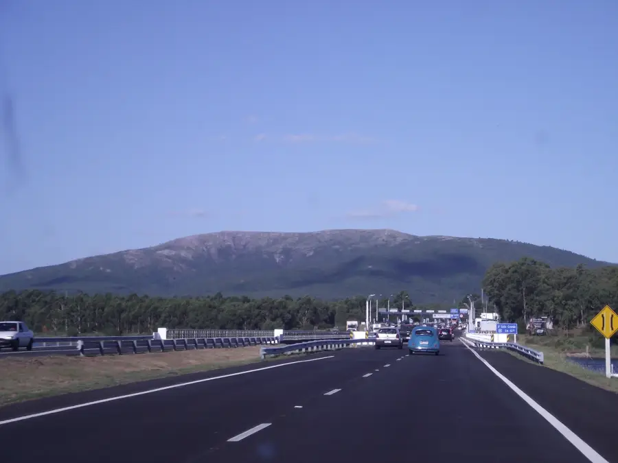
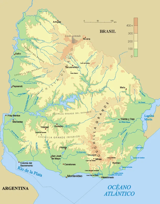
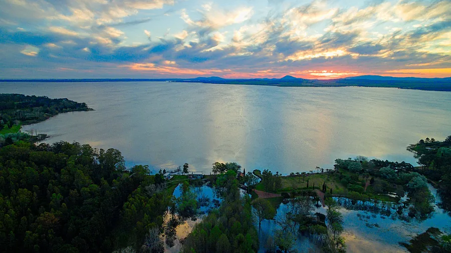
Cerro Betete is a hill situated in the north of Uruguay, within the Artigas Department. This hill is part of the Cuchilla de Belén range, a sub-range of the larger Cuchilla de Haedo system. Geologically, the region is composed of a mix of basaltic formations from the Arapey Formation, dating back to the Cretaceous period, and older sedimentary rocks. With an elevation of approximately 240 meters, Cerro Betete is a representative example of the gentle, rolling topography of northern Uruguay, shaped by volcanic activity in the geological past. The landscape surrounding Cerro Betete is characterized by subtropical grasslands and scrubland, locally known as 'Chaco' vegetation. This ecosystem supports a diverse fauna, including the rhea and the Pampas deer. The main economic activity in this sparsely populated area is extensive livestock farming. The hill itself is not a prominent peak but rather a gentle rise, yet it plays a significant role in the local geography and as grazing land.
- Location: Uruguay
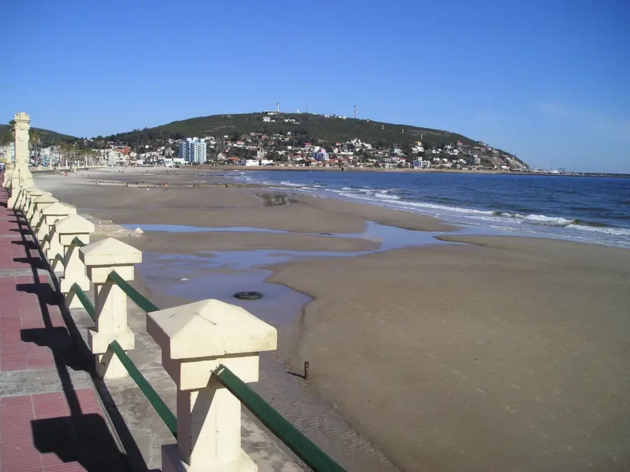
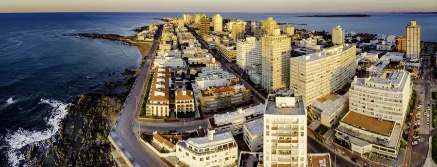
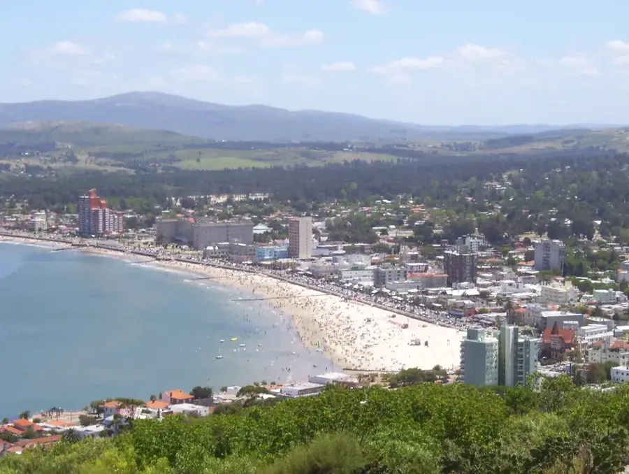
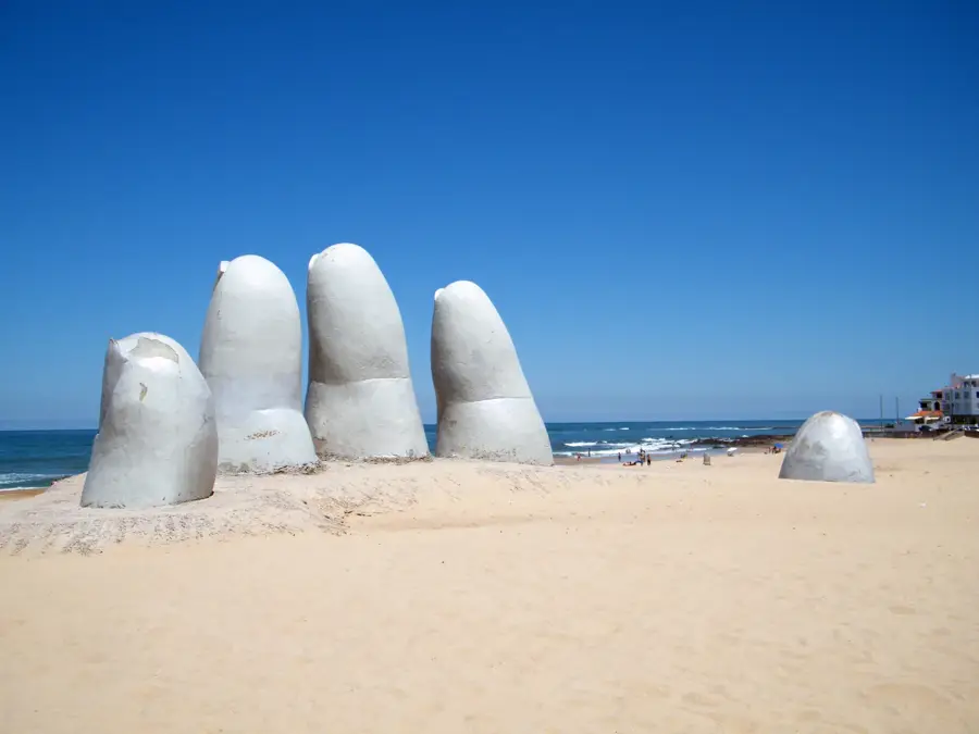
- Nearby: Piriápolis (5 km)
Best time to visit & climate
The most pleasant time to visit is Jan, Mar, Dec.
| Jan | Feb | Mar | Apr | May | Jun | Jul | Aug | Sep | Oct | Nov | Dec | |
|---|---|---|---|---|---|---|---|---|---|---|---|---|
| Avg °C | 23 | 23 | 21 | 19 | 15 | 12 | 11 | 12 | 13 | 16 | 18 | 21 |
| Rain mm | 101 | 111 | 112 | 115 | 85 | 106 | 99 | 97 | 101 | 100 | 94 | 84 |
📋 Practical info
Geography
Facts
- Located in Uruguay's northernmost department, Artigas.
- Part of the Cuchilla de Belén range.
- Reaches an altitude of approximately 240 meters.
- Its geology is dominated by Cretaceous period basalts.
- The region is known for the mining of amethysts and agates.
- The climate is subtropical with hot summers.
Explore nearby
Notable places around
Route planner — Car & Motorhome
Where do you start? We build the route here, with stops and country notes along the way.
© OpenStreetMap contributors · OpenRouteService
Sights in the town Cerro Betete (1)
Sights nearby
Frequently asked questions
Are there water sources at Cerro Betete?
Is the hike well-marked?
Can you hike there with a dog?
How long does the climb take?
Is climbing equipment needed?
Cerro Betete: where is it located?
Cerro Betete: when is the best time to visit?
Cerro Betete: why is it worth visiting?

Nearby cities

History & landmarks

Nature

More places