Plizio Visual Lab
Matengo Mountains
Weather…
Water temperature…
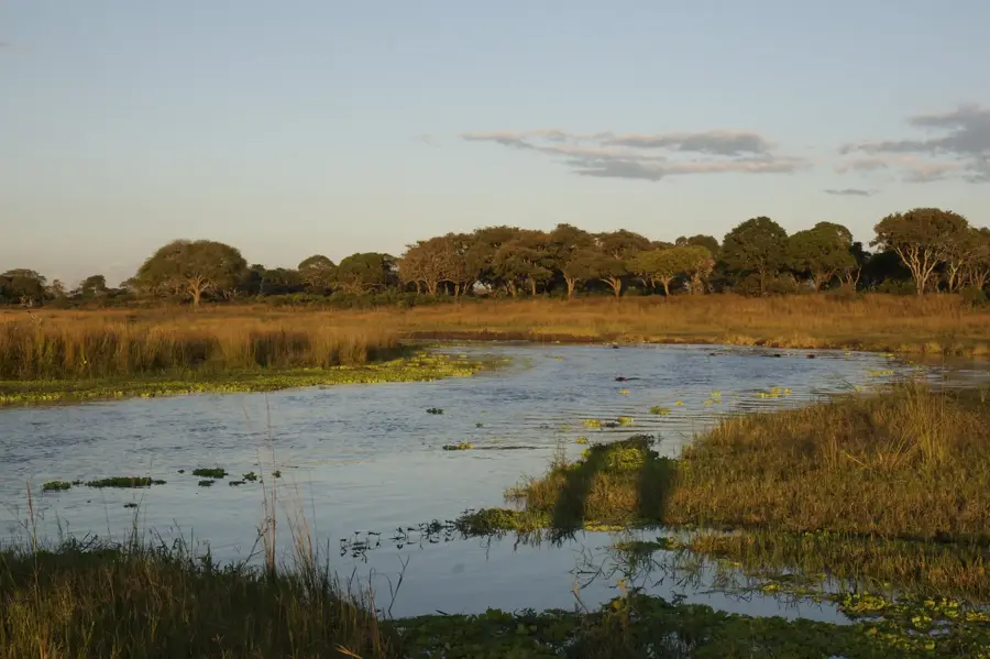
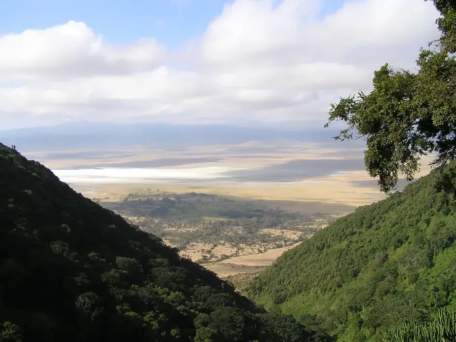
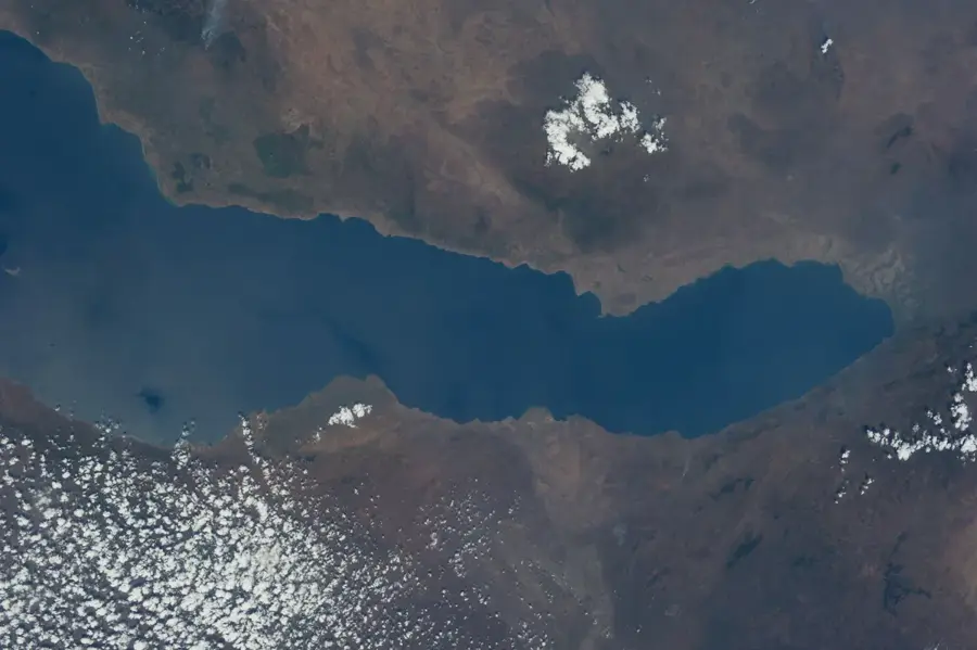
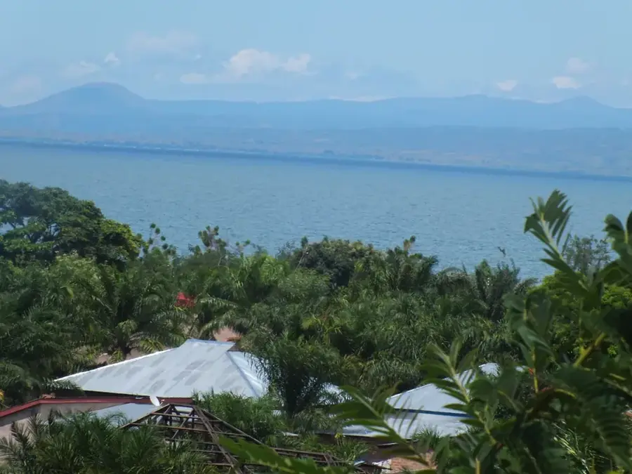
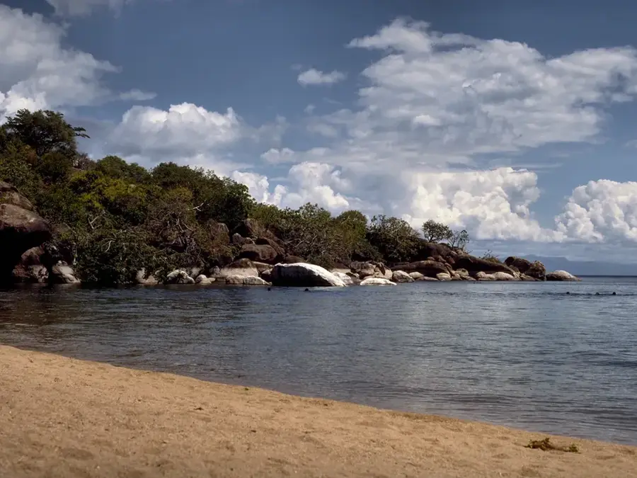
The Matengo Mountains are located in southwestern Tanzania within the Mbinga District, stretching across altitudes from 1,300 to over 2,400 meters. This mountain range is world-famous for the traditional "Ngoro" farming system of the Matengo people, which involves digging pits on steep slopes to prevent erosion and conserve water. This sustainable form of agriculture allows for intensive use of the fertile soils to grow coffee, maize, and beans. The region is characterized by a cool, moist climate that encourages high rainfall, feeding numerous small rivers that flow into Lake Malawi. Geologically, the mountains are primarily composed of metamorphic rock and offer a varied landscape of deep valleys and rugged peaks. Despite intensive agricultural use, scattered mountain rainforests remain, hosting a high biodiversity of plants and insects. The Matengo culture is closely tied to the preservation of this unique ecosystem, which has remained stable for generations.
- Location: Tanzania
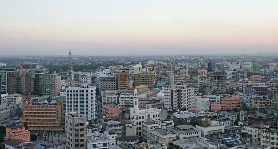
- Nearby: Songea (78 km)
Best time to visit & climate
The most pleasant time to visit is May, Aug, Sep.
| Jan | Feb | Mar | Apr | May | Jun | Jul | Aug | Sep | Oct | Nov | Dec | |
|---|---|---|---|---|---|---|---|---|---|---|---|---|
| Avg °C | 23 | 23 | 22 | 21 | 20 | 18 | 18 | 20 | 23 | 25 | 26 | 24 |
| Rain mm | 264 | 210 | 203 | 104 | 32 | 8 | 3 | 3 | 2 | 14 | 60 | 204 |
📋 Practical info
Geography
Facts
- The mountains reach altitudes between 1,300 and over 2,400 meters.
- The Ngoro system is a unique form of pit-based terrace farming.
- The region is a major producer of high-quality coffee in southern Tanzania.
- The range is located entirely within the Mbinga District of the Ruvuma Region.
- Annual rainfall in the upper elevations often exceeds 1,500 mm.
- Numerous mountain streams feed into the nearby Lake Malawi.
Explore nearby
Notable places around
Route planner — Car & Motorhome
Where do you start? We build the route here, with stops and country notes along the way.
© OpenStreetMap contributors · OpenRouteService
Sights nearby
Frequently asked questions
Are the Matengo Mountains good for hiking?
When should I visit the mountains?
Is there accommodation nearby?
Do I need a guide for the hikes?
What is special about the region?
Matengo Mountains: where is it located?
Matengo Mountains: when is the best time to visit?
Matengo Mountains: why is it worth visiting?

Nearby cities
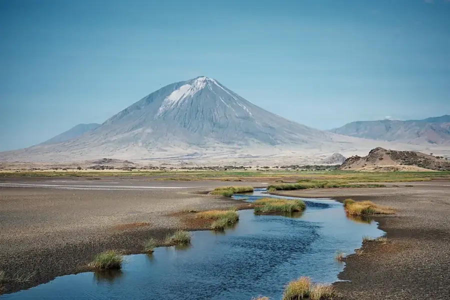
Nature
More places