Plizio Visual Lab
Pibor
ℹ️Practical info — Pibor
▾
🌤 Weather — 5 days
📍 Nearby
Sights nearby
💡 Tips
- Travel preferably during the dry season, as roads become impassable during the rainy season.
- Bring enough cash in the local currency, as card payments and ATMs are not available.
- Always ask for permission before taking photographs of the local Murle community members.
- Expect very basic infrastructure; a power bank and a flashlight are essential.
- Prepare for limited or no internet access and inform your contacts in advance.
🍽 Food
Freshly caught fish from the Pibor River, often served simply grilled or in stews.
The local staple food eaten with almost every meal.
A hearty and simple local dish often available at basic street-side eateries.
🛍 Shopping · 🧘 Quiet spots
The best place to buy fresh produce and observe the daily life of the locals.
Look for colorful bead adornments crafted by Murle women in the local markets.
A peaceful spot to observe the natural landscape and birdlife.
Take a walk to the edges of the settlement for wide views over the savanna.
Water temperature…
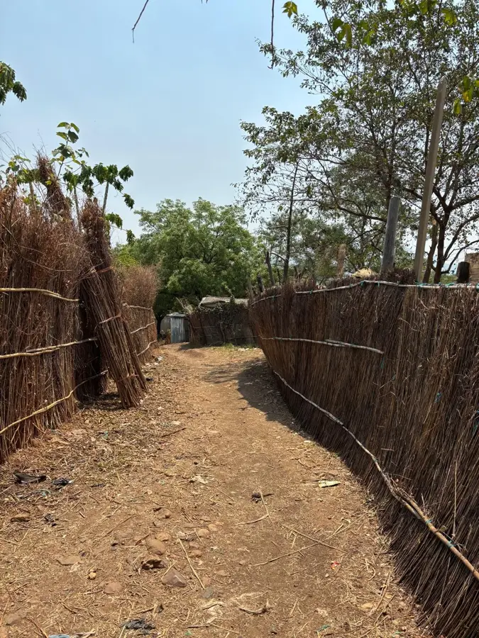
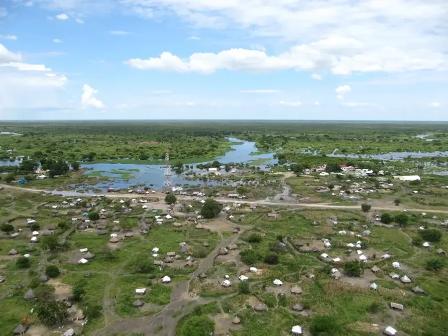
Pibor serves as the administrative capital of the Greater Pibor Administrative Area in eastern South Sudan, positioned along the banks of the Pibor River. This remote settlement is a critical hub for the Murle people, whose pastoralist lifestyle and social organization are intricately linked to the surrounding environment. Geographically, the area is characterized by low-lying plains and seasonal wetlands that transition into the rugged terrain of the Boma Plateau to the east. The history of Pibor is a narrative of resilience, having navigated decades of marginalization and local conflicts to achieve its current status as a self-governing entity. The city’s economy revolves around livestock trading, with the local market being a focal point for the exchange of cattle, which hold immense cultural and economic value. Access to Pibor remains one of the greatest challenges, as the region lacks paved roads and relies heavily on air transport or river navigation during the flood season. Despite these hurdles, Pibor is globally significant for its proximity to Boma National Park, home to one of the world’s largest mammal migrations. Hundreds of thousands of white-eared kob, tiang, and Mongalla gazelle pass through the plains surrounding the town, making it a frontier for ecological research. The town continues to develop its local governance structures, aiming to provide better education and healthcare services to a population that has historically been underserved due to its geographic isolation.
Best time to visit & climate
The most pleasant time to visit is Jan, Nov, Dec.
| Jan | Feb | Mar | Apr | May | Jun | Jul | Aug | Sep | Oct | Nov | Dec | |
|---|---|---|---|---|---|---|---|---|---|---|---|---|
| Avg °C | 30 | 32 | 33 | 30 | 28 | 27 | 27 | 27 | 27 | 28 | 28 | 29 |
| Rain mm | 7 | 6 | 30 | 74 | 126 | 89 | 104 | 111 | 101 | 110 | 50 | 20 |
Geography
Facts
- Pibor is the main urban center for the Greater Pibor Administrative Area (GPAA).
- The city sits at an elevation of approximately 450 meters above sea level.
- It is situated on the Pibor River, which acts as a natural boundary and resource.
- The Murle language is the primary tongue spoken by the local inhabitants.
- Pibor is a gateway to Boma National Park, established in 1986.
- The seasonal kob migration through Pibor is a major ecological phenomenon.
- The town features a small airstrip that handles UN and charter flights.
- Pibor's administrative status was formalized to address local ethnic representation.
Explore nearby
Notable places around
Route planner — Car & Motorhome
Where do you start? We build the route here, with stops and country notes along the way.
© OpenStreetMap contributors · OpenRouteService
Frequently asked questions
What is Pibor?
Can one travel there?
What is the environment?
How is communication?
Is there public infrastructure?
Pibor: where is it located?
Pibor: when is the best time to visit?
Pibor: why is it worth visiting?