Plizio Visual Lab
Pibor River
Weather…
Water temperature…
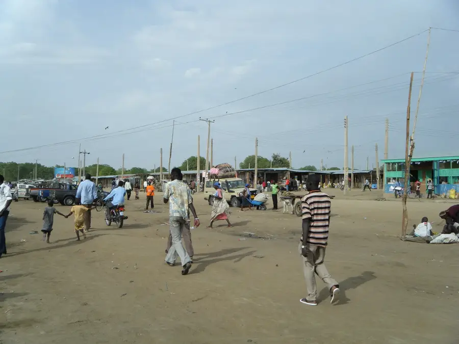
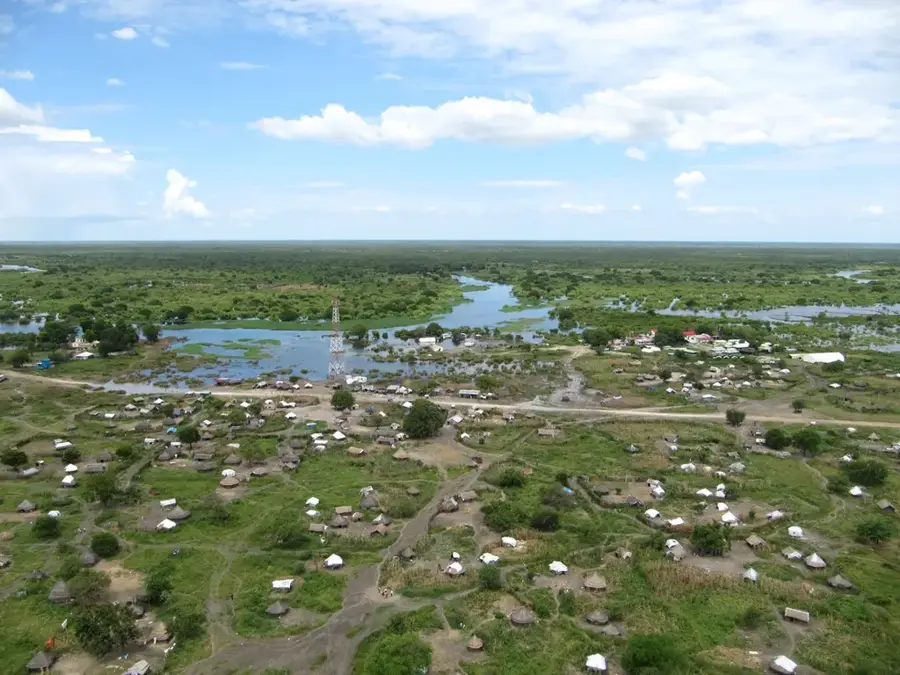
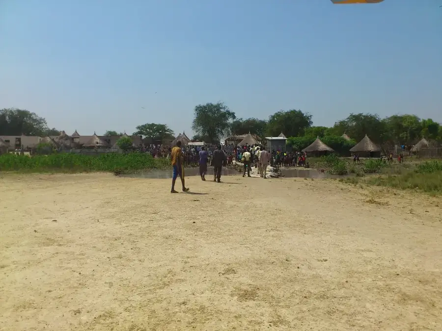
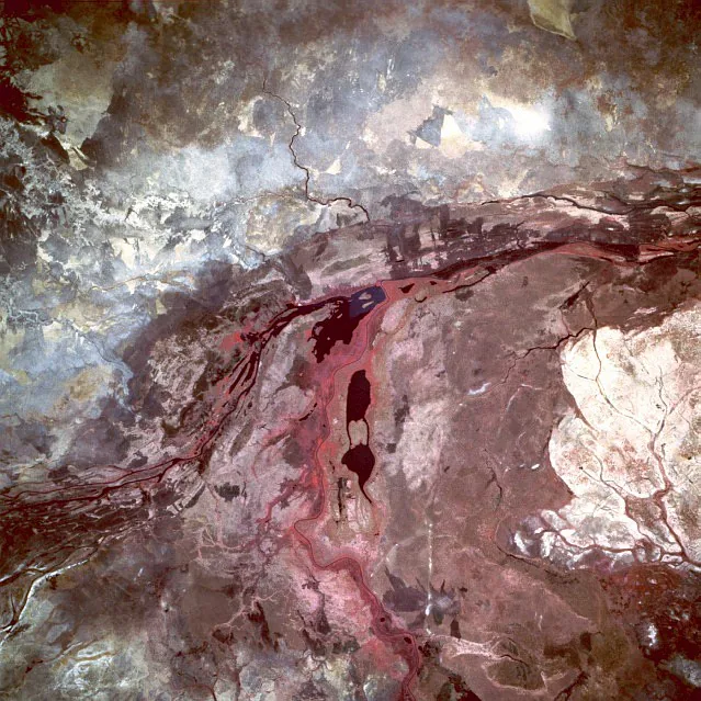
The Pibor River is a major waterway in eastern South Sudan, defining a significant portion of the international border with Ethiopia. It rises in the Ethiopian Highlands and flows northward through Jonglei State until it converges with the Baro River to form the Sobat. The Pibor's drainage basin is characterized by vast, flat grass savannas and seasonal wetlands that undergo extensive flooding during the rainy months. This hydrological pattern is essential for the local ecology, as it supports the annual migration of hundreds of thousands of white-eared kob antelopes. Geologically, the Pibor traverses a landscape dominated by deep, fertile alluvial soils deposited over millennia. Historically, the Pibor region has been a focal point for ethnic tensions and political instability, which has hampered the development of formal infrastructure. For the Murle, Anuak, and Nuer communities, the river remains a lifeline, providing essential water, fish, and grazing land for their livestock during the harsh dry season.
- Location: South Sudan
- Nearby: Nasir (75 km)
Best time to visit & climate
The most pleasant time to visit is Jan, Nov, Dec.
| Jan | Feb | Mar | Apr | May | Jun | Jul | Aug | Sep | Oct | Nov | Dec | |
|---|---|---|---|---|---|---|---|---|---|---|---|---|
| Avg °C | 30 | 32 | 33 | 31 | 29 | 27 | 26 | 26 | 27 | 27 | 28 | 29 |
| Rain mm | 3 | 3 | 19 | 51 | 116 | 104 | 119 | 124 | 114 | 118 | 35 | 17 |
📋 Practical info
Geography
Facts
- The Pibor River flows for a total distance of approximately 320 kilometers.
- It marks the South Sudan-Ethiopia border for a stretch of roughly 100 kilometers.
- The town of Pibor serves as the regional hub for the Murle ethnic group.
- The river basin is a critical component of the Boma-Jonglei landscape ecosystem.
- Heavy rains in the Ethiopian highlands can cause the Pibor to rise several meters in days.
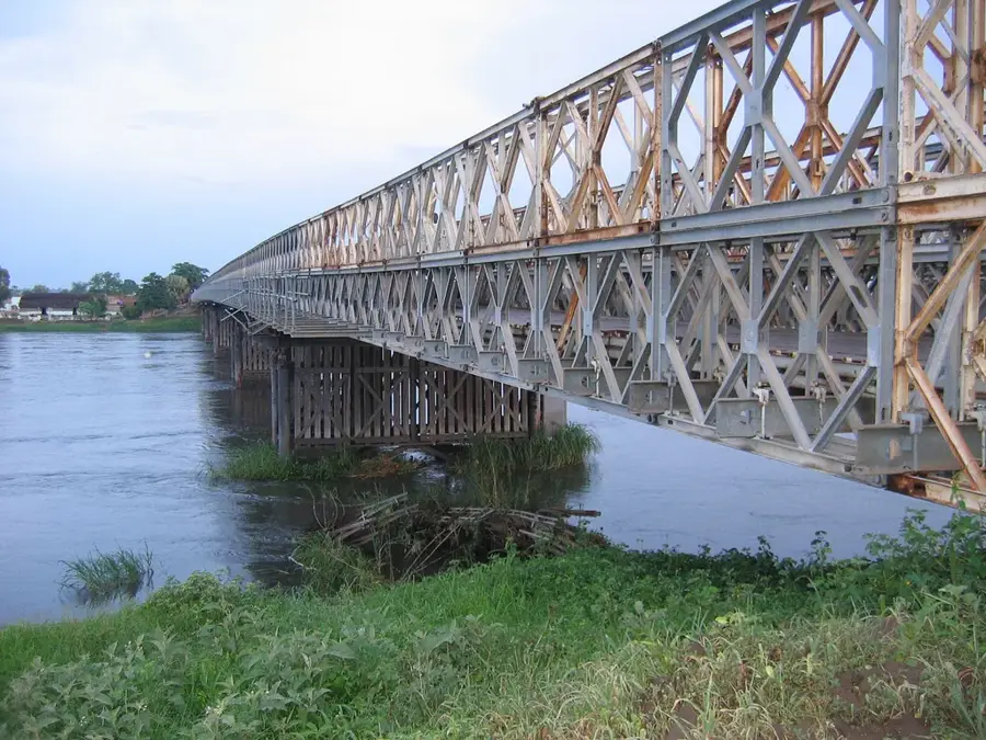
- Navigation is largely limited to traditional wooden canoes and small motorboats.
Explore nearby
Notable places around
Route planner — Car & Motorhome
Where do you start? We build the route here, with stops and country notes along the way.
© OpenStreetMap contributors · OpenRouteService
Sights nearby
Frequently asked questions
Where does the Pibor flow?
Is the Pibor developed for tourism?
What is special about the surroundings?
How is the travel?
What must be considered when traveling?
Pibor River: where is it located?
Pibor River: when is the best time to visit?
Pibor River: why is it worth visiting?

Nearby cities

Nature
More places