Plizio Visual Lab
Ironstone Plateau
Weather…
Water temperature…
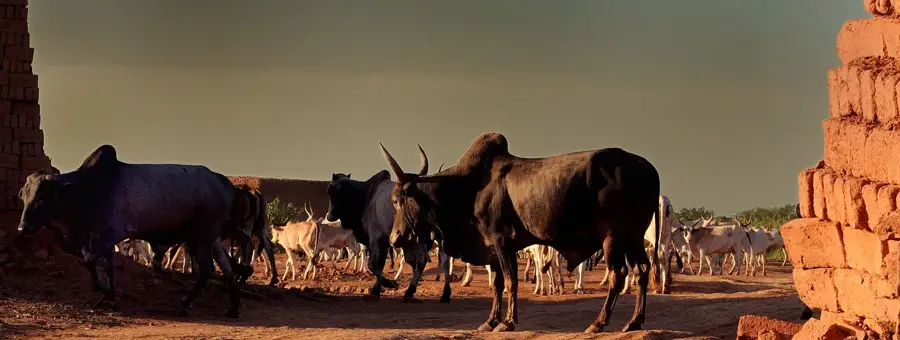
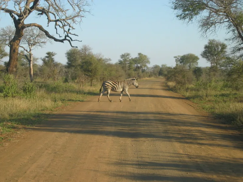
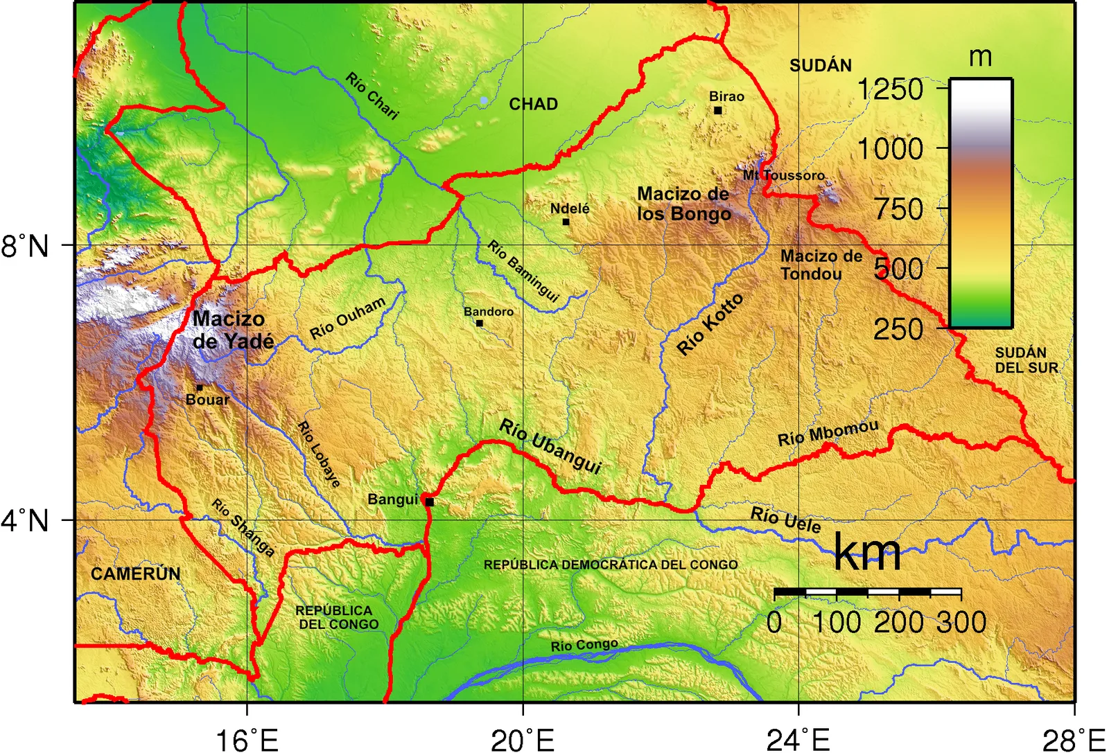
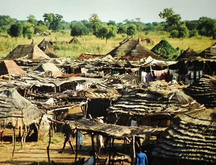
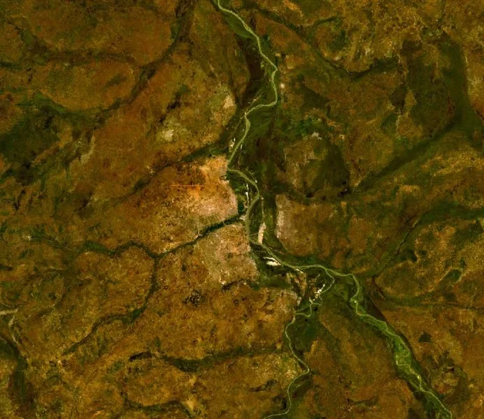
The Ironstone Plateau is an extensive physiographic region in southwestern South Sudan, characterized by its distinct iron-rich lateritic soils. Elevation on the plateau ranges from 600 to 900 meters above sea level, creating a gently undulating landscape covered primarily by wooded savanna. The region acts as a major drainage area, with numerous seasonal streams flowing from the highlands toward the vast Sudd wetlands to the north. Vegetation is dominated by broad-leaved deciduous trees, including the shea butter tree, interspersed with tall perennial grasses. Historically, the prevalence of the tsetse fly restricted large-scale cattle herding, leading local ethnic groups such as the Azande and Moru to develop sophisticated agricultural systems. Geologically, the plateau is part of the ancient African Shield, with thick layers of ferruginous crust that give the region its name. Today, the Ironstone Plateau is a vital agricultural belt, supporting the production of staple crops like sorghum, cassava, and groundnuts in a challenging tropical environment.
Best time to visit & climate
The most pleasant time to visit is Jan, Nov, Dec.
| Jan | Feb | Mar | Apr | May | Jun | Jul | Aug | Sep | Oct | Nov | Dec | |
|---|---|---|---|---|---|---|---|---|---|---|---|---|
| Avg °C | 27 | 30 | 31 | 30 | 28 | 26 | 25 | 25 | 25 | 26 | 26 | 26 |
| Rain mm | 2 | 5 | 29 | 74 | 156 | 157 | 177 | 211 | 186 | 137 | 21 | 10 |
📋 Practical info
Geography
Facts
- The plateau's elevation helps moderate the intense tropical heat.
- Ironstone crusts can be several meters thick in some areas.
- The region is a major source of honey and beeswax for South Sudan.
- It supports a high density of fruit-bearing trees like mango and papaya.
- Seasonal flooding in the valleys creates fertile farming pockets.
- The plateau is one of the most stable geological regions in East Africa.
Explore nearby
Notable places around
Route planner — Car & Motorhome
Where do you start? We build the route here, with stops and country notes along the way.
© OpenStreetMap contributors · OpenRouteService
Sights nearby
Frequently asked questions
What makes the Ironstone Plateau special?
What is the difficulty of the paths?
Is it suitable for families?
Are there shaded areas?
When is the best time to visit?
Ironstone Plateau: where is it located?
Ironstone Plateau: when is the best time to visit?
Ironstone Plateau: why is it worth visiting?

Nearby cities
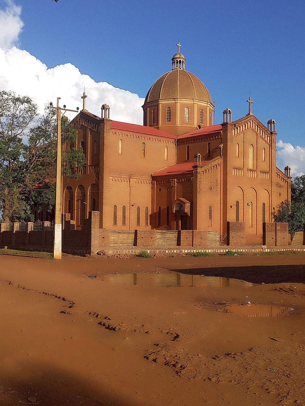
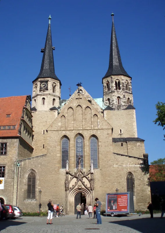
History & landmarks
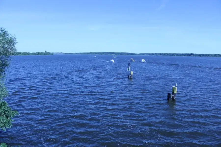
Nature
More places