Plizio Visual Lab
Bongo Massif
Weather…
Water temperature…
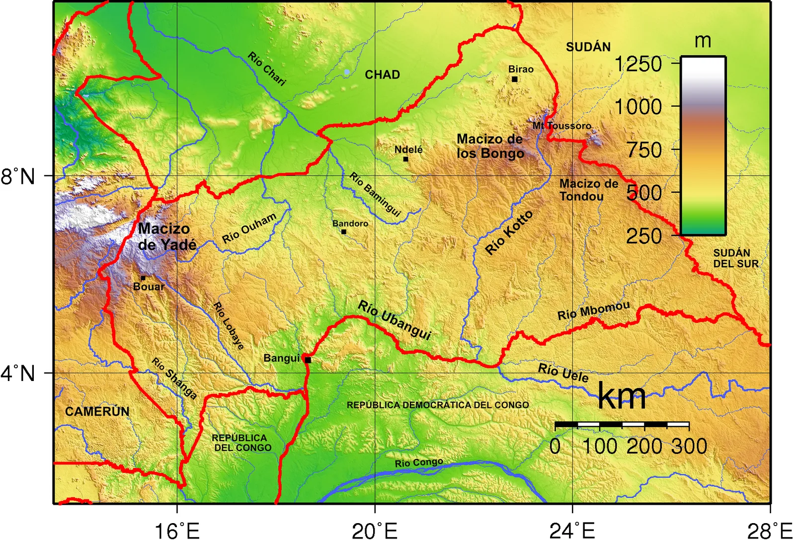
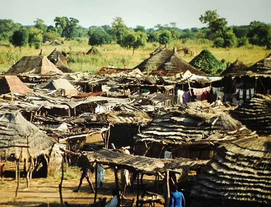
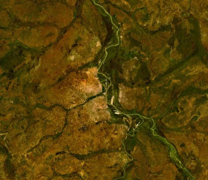
The Bongo Massif, known in French as Massif des Bongo, is a significant mountain range situated in northern South Sudan along the border with the Central African Republic. Geographically, it serves as one of Africa's major watersheds, dividing the drainage basins of the Nile, Congo, and Lake Chad. The highest point of the massif is Mount Toussoro, which reaches an elevation of approximately 1330 meters, significantly overlooking the surrounding plains. Its geological structure primarily consists of Precambrian granites and metamorphic rocks that form a durable barrier against erosion. Due to the rugged terrain and dense vegetation, the area is sparsely populated and remains largely untouched by modern infrastructure. Historically, the massif marked a natural boundary between colonial spheres of influence in Central Africa. Today, the region is recognized for its ecological importance as a source for numerous rivers and a refuge for various wildlife species.
Best time to visit & climate
The most pleasant time to visit is Jan, Nov, Dec.
| Jan | Feb | Mar | Apr | May | Jun | Jul | Aug | Sep | Oct | Nov | Dec | |
|---|---|---|---|---|---|---|---|---|---|---|---|---|
| Avg °C | 25 | 28 | 29 | 29 | 27 | 24 | 23 | 23 | 24 | 24 | 24 | 24 |
| Rain mm | 2 | 9 | 23 | 58 | 185 | 186 | 186 | 225 | 208 | 148 | 17 | 4 |
📋 Practical info
Geography
Facts
- Mount Toussoro is the highest peak in the massif at 1330 meters.
- The range forms the international border between South Sudan and CAR.
- It acts as a triple watershed for the Nile, Congo, and Lake Chad basins.
- The geological foundation is composed of ancient Precambrian granite.
- The area experiences a distinct rainy season from May to October.
- It is one of the most remote and least surveyed regions in East-Central Africa.
Explore nearby
Notable places around
Route planner — Car & Motorhome
Where do you start? We build the route here, with stops and country notes along the way.
© OpenStreetMap contributors · OpenRouteService
Sights nearby
Frequently asked questions
What is the Bongo Massif?
Is it open to tourists?
What to consider for tours?
Are there dangerous animals there?
Do I need insurance?
Bongo Massif: where is it located?
Bongo Massif: when is the best time to visit?
Bongo Massif: why is it worth visiting?

Nearby cities
History & landmarks
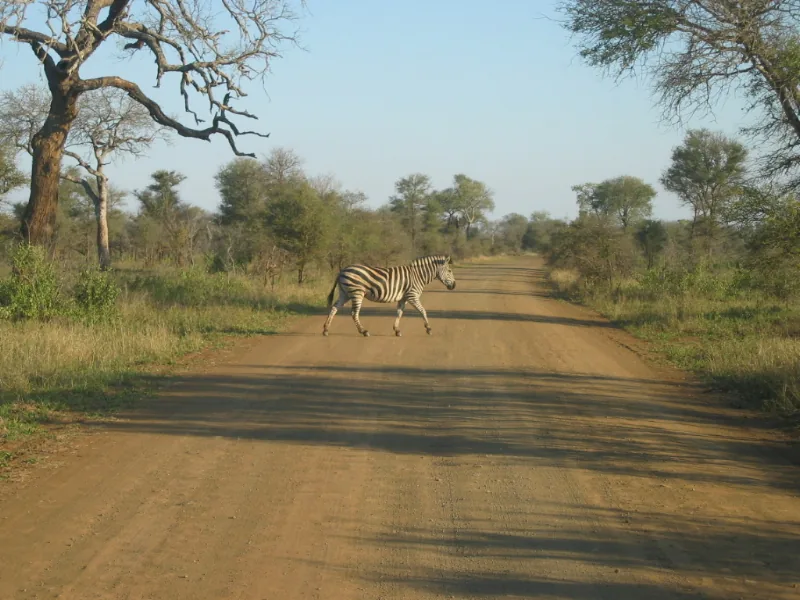
Nature
More places