Plizio Visual Lab
Casamance hills

Weather…
Water temperature…
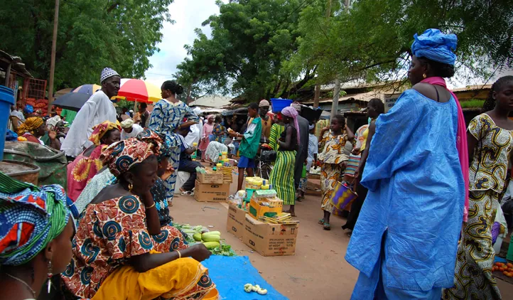
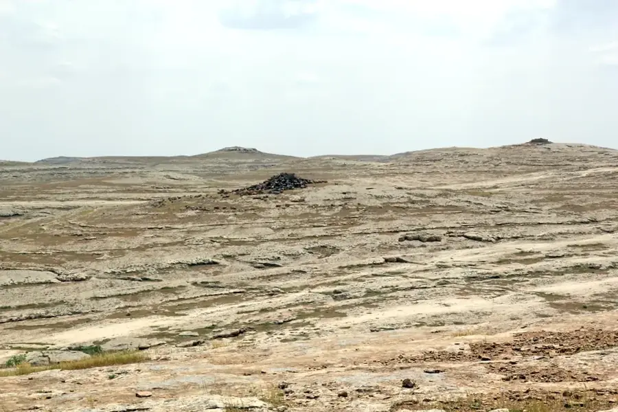
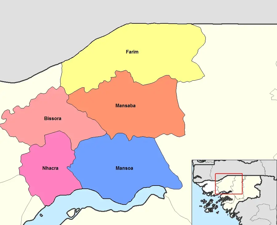
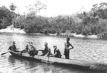
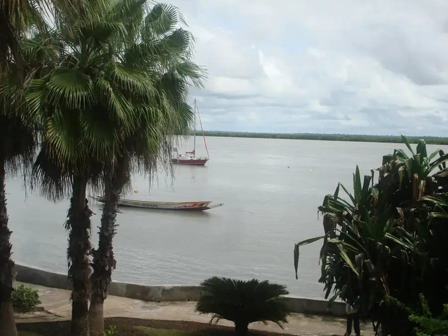
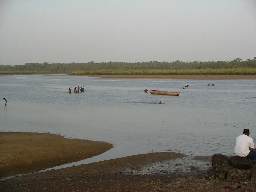
The Casamance hills are located in the far south of Senegal, representing a gentle elevation compared to the country's otherwise flat lowlands. The region is characterized by a sub-Guinean climate with high rainfall reaching up to 1,200 millimeters per year, which promotes lush vegetation. This landscape consists of a mix of dense forests, palm groves, and extensive rice paddies established in the lower valleys. Although the hills reach only moderate heights, they provide an important sanctuary for diverse fauna, including various monkey species and numerous tropical birds. Geologically, the formations are often composed of lateritic rock, which through weathering creates the characteristic red color of the soil. The hill range plays a central role in the region's water balance, feeding numerous small streams that are essential for rice cultivation. The cultural identity of the local Diola people is deeply intertwined with this forested hill country and its traditional sacred groves.
Best time to visit & climate
The most pleasant time to visit is Jan, Feb, Dec.
| Jan | Feb | Mar | Apr | May | Jun | Jul | Aug | Sep | Oct | Nov | Dec | |
|---|---|---|---|---|---|---|---|---|---|---|---|---|
| Avg °C | 23 | 26 | 28 | 31 | 31 | 29 | 27 | 26 | 26 | 27 | 26 | 23 |
| Rain mm | 1 | 0 | 0 | 0 | 21 | 139 | 325 | 420 | 303 | 123 | 8 | 0 |
📋 Practical info
Geography
Facts
- Region: Casamance, southern Senegal.
- Annual rainfall: Up to 1,200 mm.
- Vegetation type: Tropical forest and palm groves.
- Soil type: Characteristically red lateritic soil.
- Wildlife: Sanctuary for primates and tropical birds.
- Cultural aspect: Home to the Diola people's sacred groves.
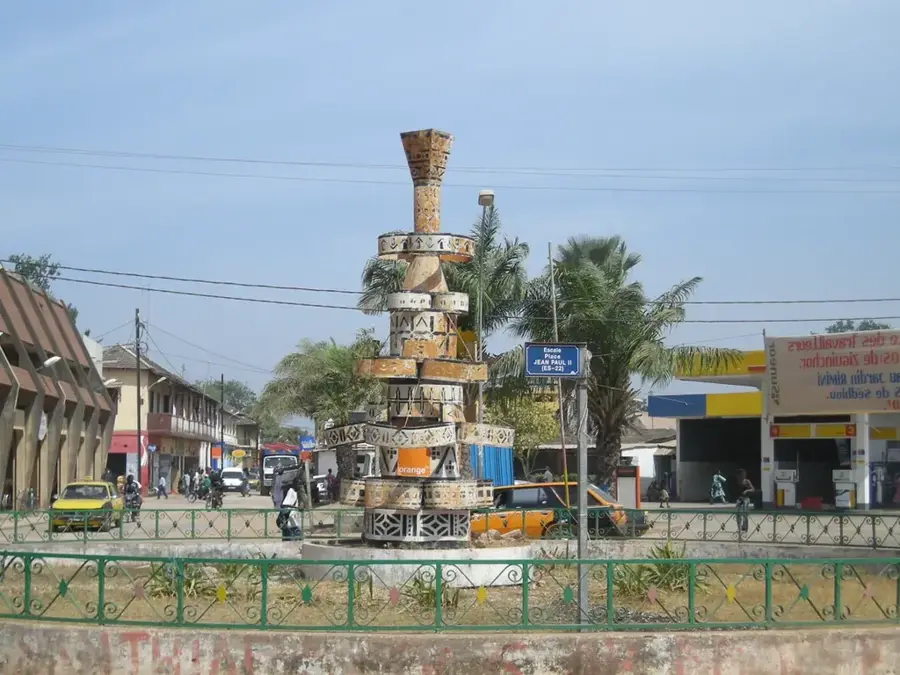
Explore nearby
Notable places around
Route planner — Car & Motorhome
Where do you start? We build the route here, with stops and country notes along the way.
© OpenStreetMap contributors · OpenRouteService
Sights nearby
Frequently asked questions
Are the hiking trails well marked?
Best time to visit?
Best clothing?
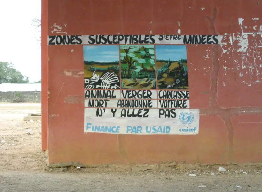
Is the region safe?
Are there spectacular views?
Casamance hills: where is it located?
Casamance hills: when is the best time to visit?
Casamance hills: why is it worth visiting?

Nearby cities


Nature
More places