Plizio Visual Lab
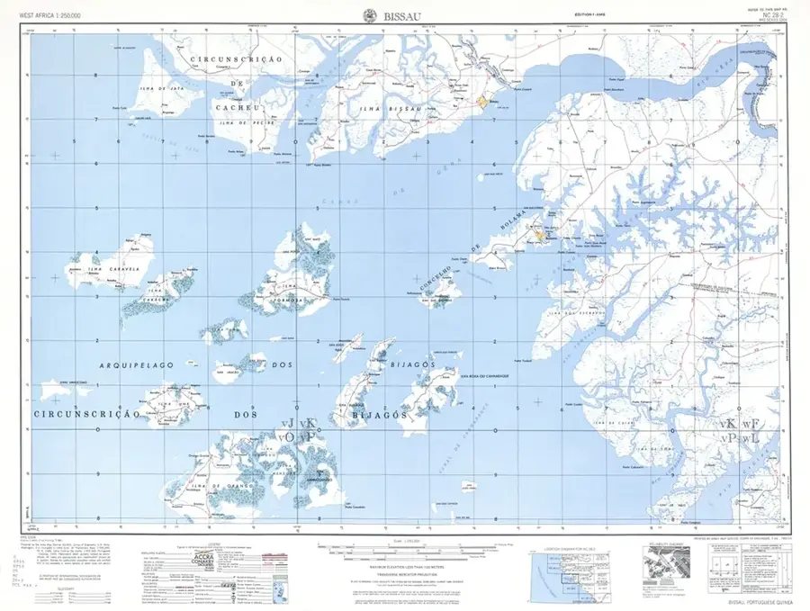
Oio Plateau
Weather…
Water temperature…
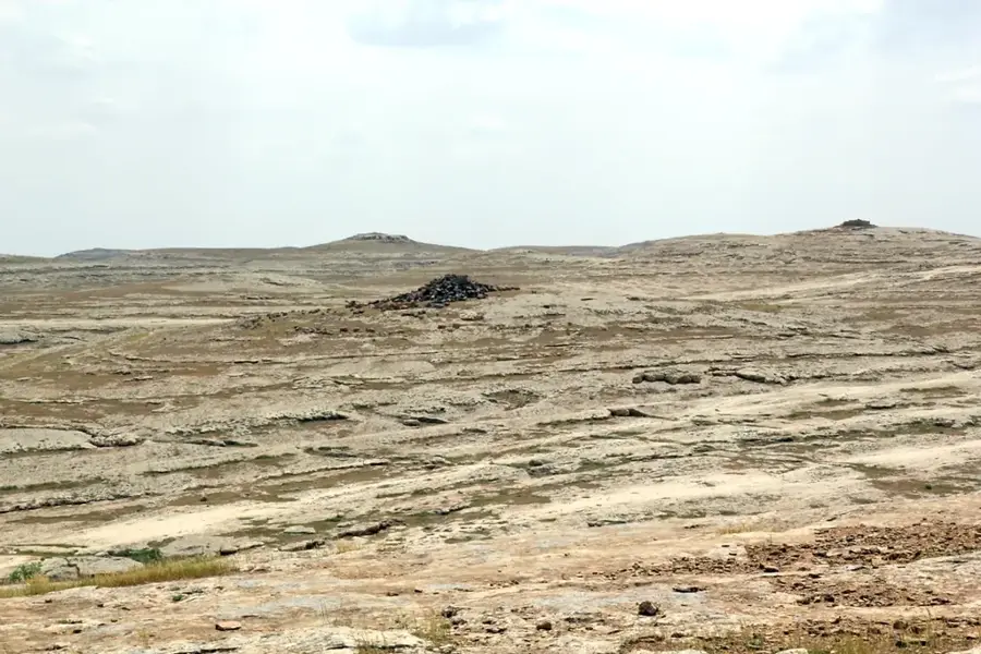
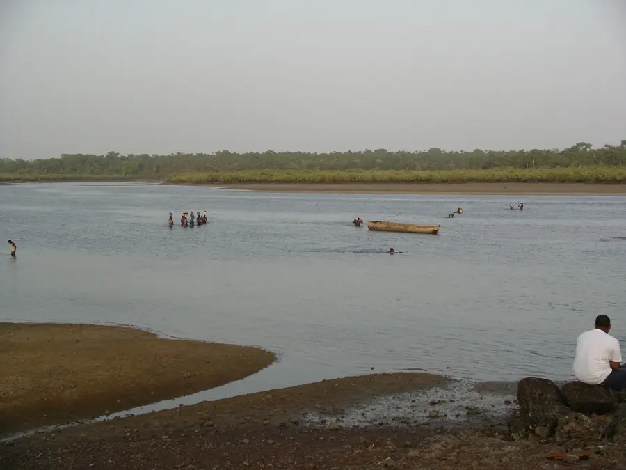
The Oio Plateau in central-northern Guinea-Bissau is a classic example of tropical laterite relief. This expansive upland sits at an average elevation of 50 to 70 meters and forms a stable geological platform between the valleys of the Cacheu and Mansoa rivers. The relief is characterized by a gently undulating topography covered by hard iron crusts (cangas). These crusts prevent rapid erosion but also result in limited water infiltration capacity, favoring the formation of temporary surface waters during the rainy season. Geomorphologically, it is an ancient planation surface shaped over millions of years through chemical weathering. Vegetation on the plateau is a characteristic wooded savanna, adapted to the iron-rich and often shallow soils. The relief of the Oio Plateau is of great significance to the national economy, as the stable areas are ideally suited for the large-scale cultivation of peanuts and cashew nuts, as well as for livestock farming. The reddish coloring of the terrain and the wide horizons make the Oio Plateau one of the most defining landscapes of the Bissau-Guinean interior.
- Location: Guinea-Bissau
- Nearby: Mansôa (14 km)
Best time to visit & climate
The most pleasant time to visit is Jan, Feb, Dec.
| Jan | Feb | Mar | Apr | May | Jun | Jul | Aug | Sep | Oct | Nov | Dec | |
|---|---|---|---|---|---|---|---|---|---|---|---|---|
| Avg °C | 23 | 25 | 27 | 29 | 29 | 28 | 27 | 26 | 26 | 27 | 26 | 24 |
| Rain mm | 1 | 0 | 0 | 0 | 21 | 132 | 375 | 487 | 355 | 173 | 11 | 0 |
📋 Practical info
Geography
Facts
- The plateau is the historical center for groundnut cultivation in the country.
- The relief is formed on one of the region's oldest geological layers.
- Laterite crusts here reach a hardness that complicates road construction.
- The average slope of the relief is less than 3%.
- The topography facilitates the formation of extensive natural grazing lands.
- Significant aquifers are located beneath the plateau's surface.
Explore nearby
Notable places around
Route planner — Car & Motorhome
Where do you start? We build the route here, with stops and country notes along the way.
© OpenStreetMap contributors · OpenRouteService
Sights nearby
Frequently asked questions
What characterizes the Oio Plateau?
Which city is located on the Oio Plateau?
Is the plateau agriculturally important?
How is the climate on the plateau?
Are there natural parks on the plateau?
Oio Plateau: where is it located?
Oio Plateau: when is the best time to visit?
Oio Plateau: why is it worth visiting?

Nearby cities


Nature
More places