Plizio Visual Lab
Bambadinca
ℹ️Practical info — Bambadinca
▾
🌤 Weather — 5 days
📍 Nearby
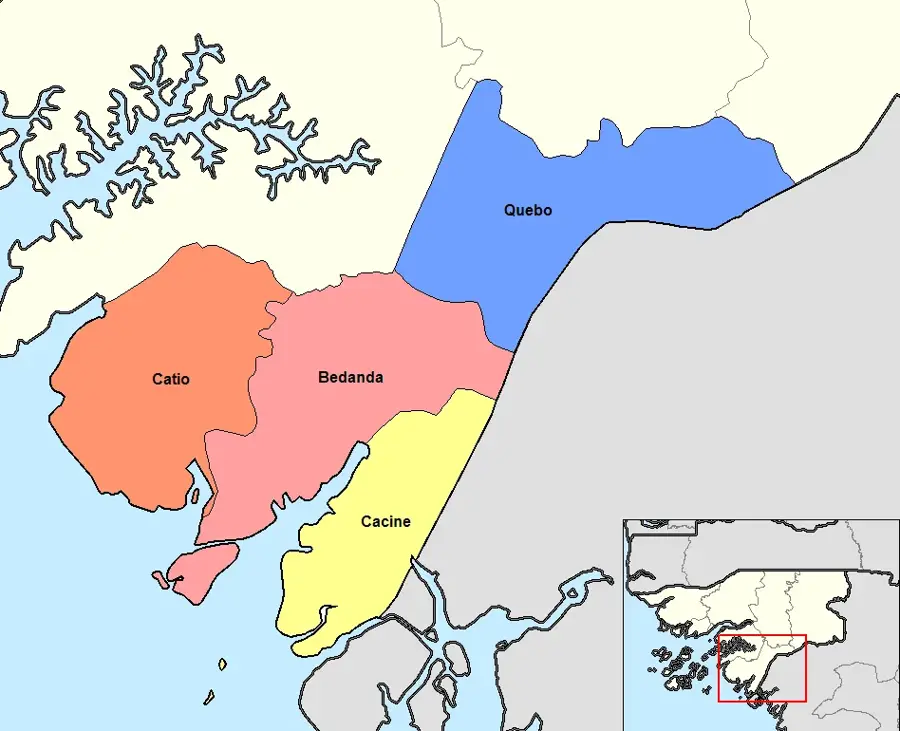
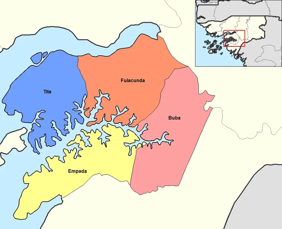
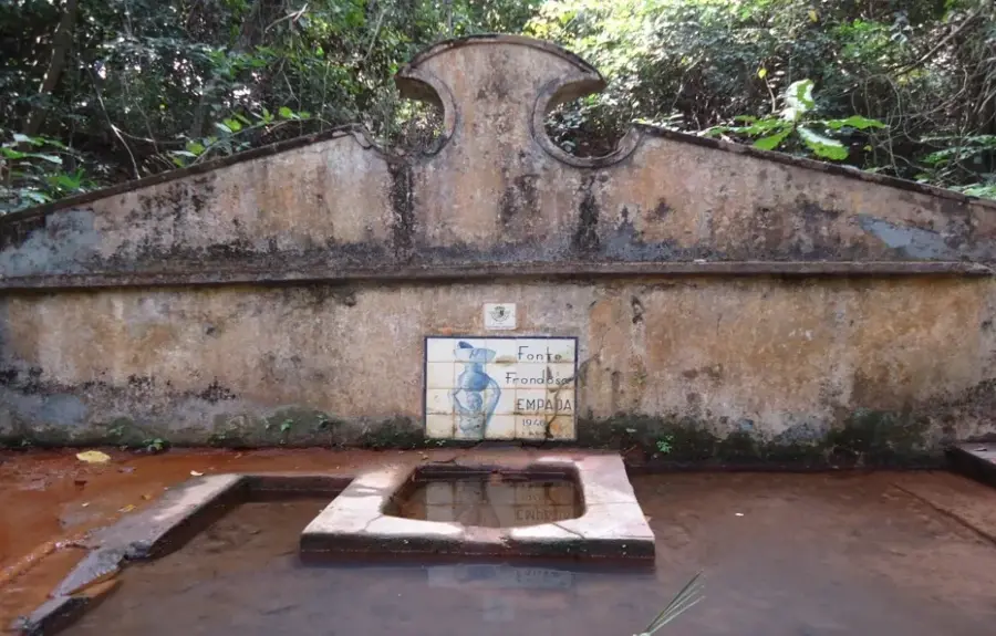
Sights nearby
💡 Tips
- Best visited during the dry season (Nov-May) to avoid heavy rains.
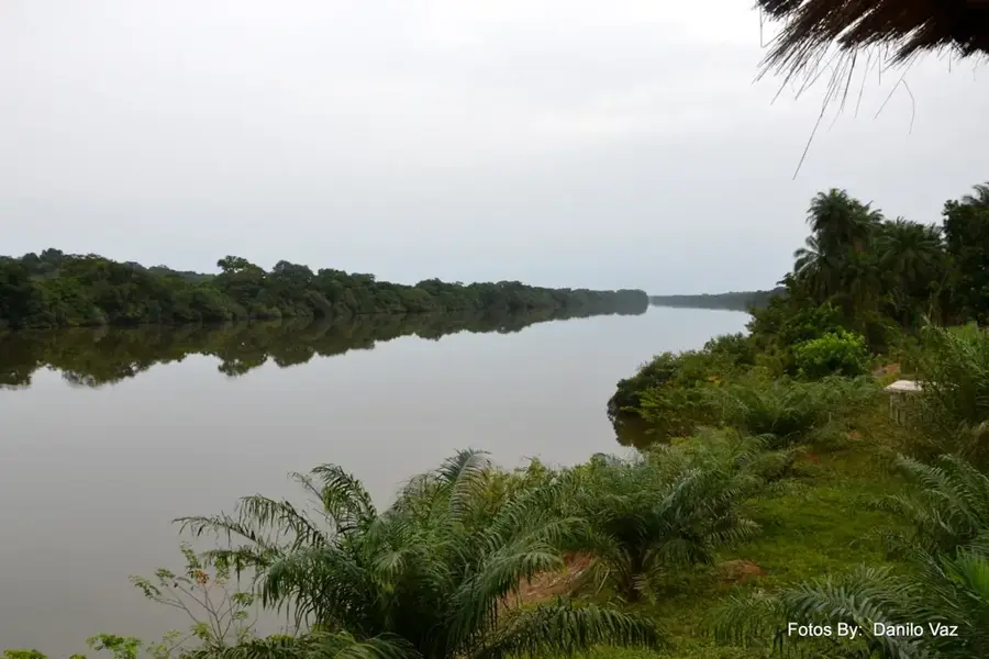
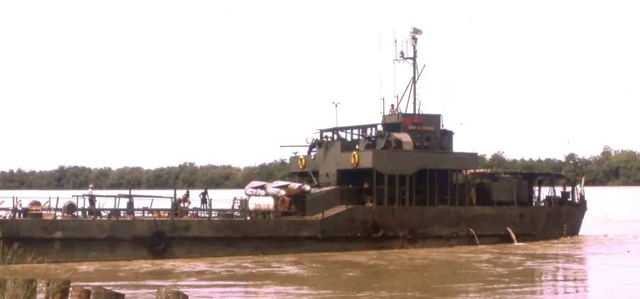
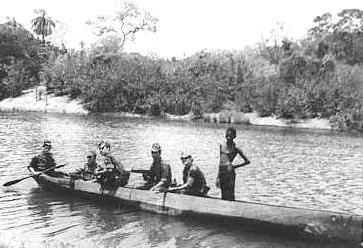
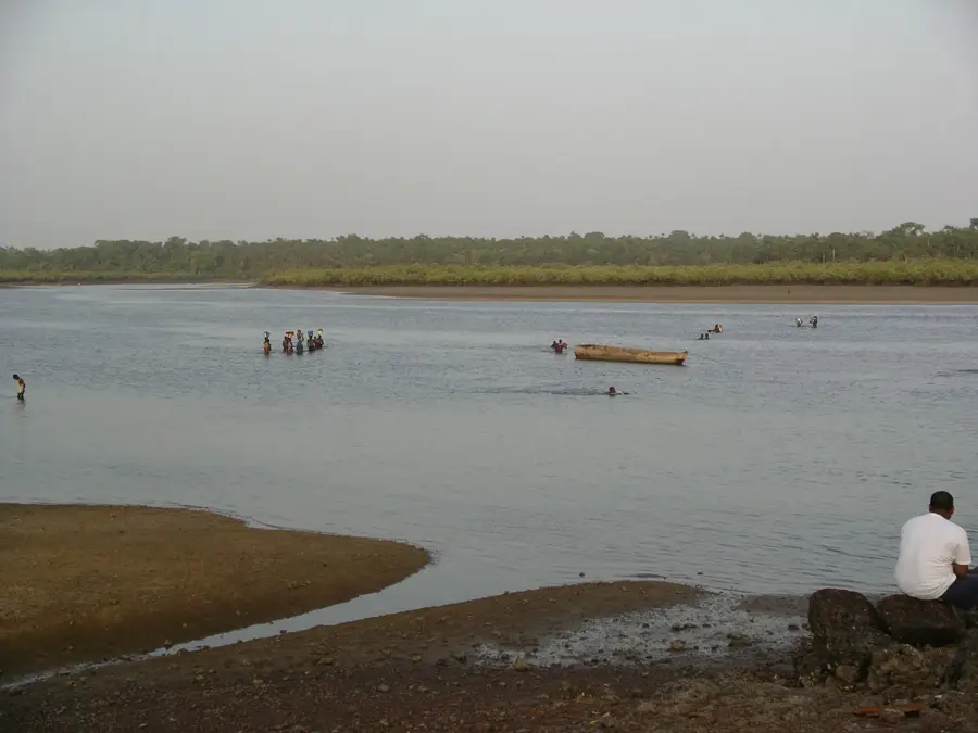
- The Geba River is a central hub; boat travel is common but confirm schedules locally.
- Bring plenty of cash as ATMs are rarely available outside the capital.
- Learning a few local Creole phrases helps immensely with communication.
🍽 Food
Peanut stew, look for small local eateries near the market.
Fresh from the Geba river, served at riverside stalls.
Spicy grilled chicken, available at local chop bars.
🛍 Shopping · 🧘 Quiet spots
Buy fresh fruits, vegetables, and everyday items in the town center.
Guinea-Bissau is a major producer; buy freshly roasted nuts from street vendors.
Take a peaceful walk along the river during sunset.
Walk slightly out of the main settlement for a quiet view of the rural landscape.
Water temperature…
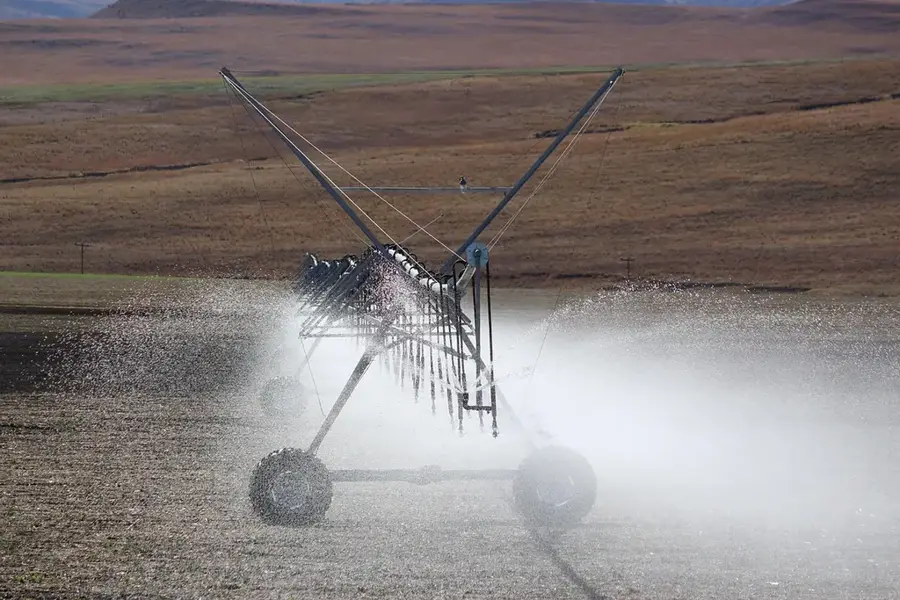
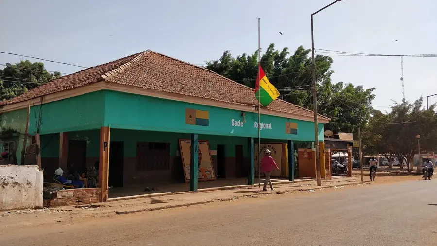
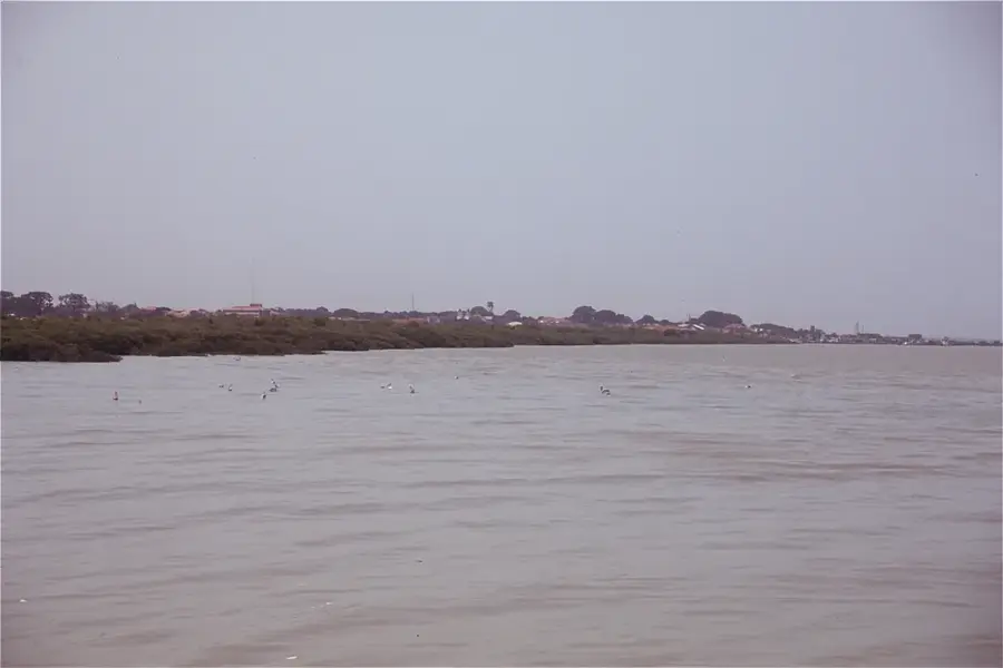
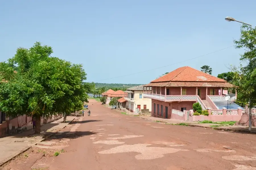
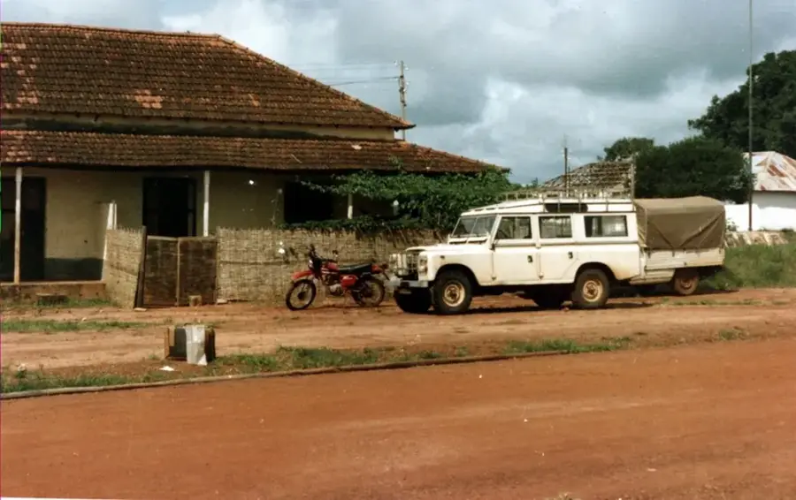
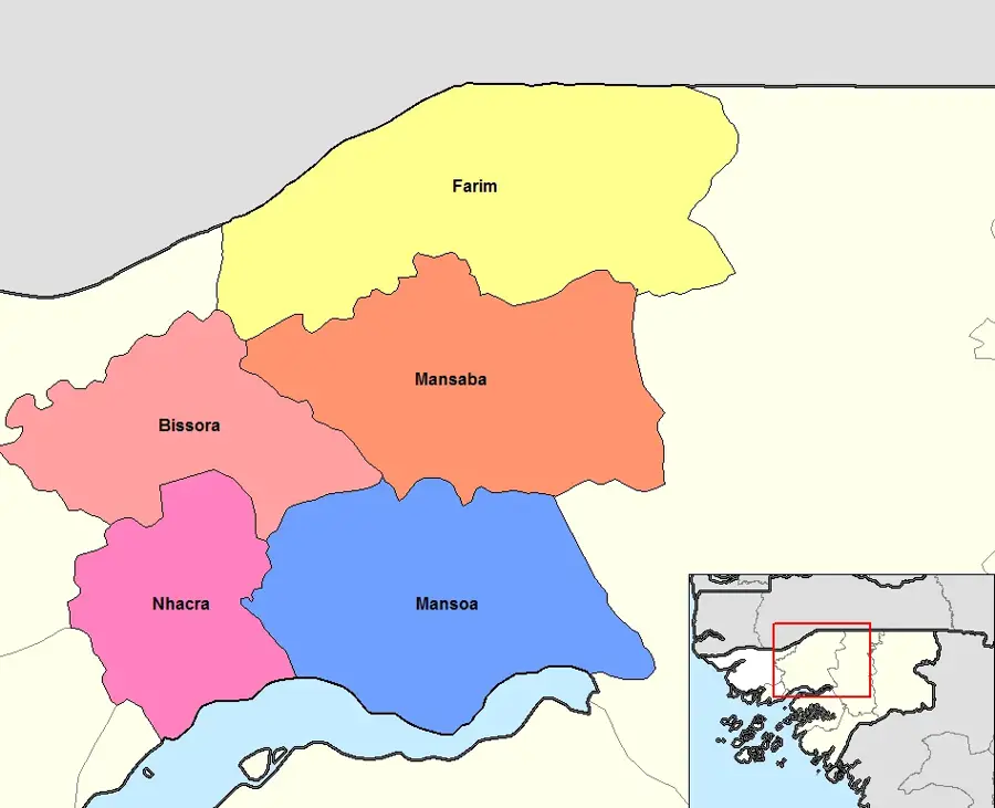
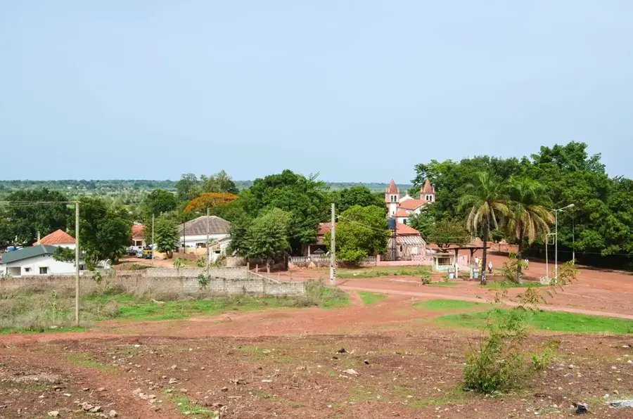
Bambadinca is a dynamic town in the Bafatá Region, situated on the banks of the Geba River in east-central Guinea-Bissau. In recent years, the town has emerged as a pioneer for renewable energy in West Africa, notably through the installation of a large-scale hybrid solar power plant in 2015. This project has transformed the local economy by ensuring a reliable electricity supply for households and small businesses. Geographically, Bambadinca is a major crossroads for trade, where the main roads from the east and south converge. The town's history is closely linked to river traffic on the Rio Geba, which was formerly the primary route for transporting agricultural products to the coast. Today, life is shaped by a blend of tradition and progress, with agricultural cooperatives playing a central role in the processing of groundnuts and cereal crops.
- Location: Guinea-Bissau
- Nearby: Bafatá (27 km)
- Population: ~7.620 (2023)
Best time to visit & climate
The most pleasant time to visit is Jan, Feb, Dec.
| Jan | Feb | Mar | Apr | May | Jun | Jul | Aug | Sep | Oct | Nov | Dec | |
|---|---|---|---|---|---|---|---|---|---|---|---|---|
| Avg °C | 24 | 26 | 29 | 30 | 31 | 29 | 27 | 26 | 26 | 27 | 26 | 24 |
| Rain mm | 1 | 0 | 1 | 0 | 26 | 146 | 381 | 479 | 344 | 163 | 13 | 0 |
Geography
Facts
- Located on the Geba River in the Bafatá Region
- Site of a pioneering hybrid solar power plant since 2015
- Major transportation hub in the center of the country
- Economy transformed by access to constant electricity
- Historically significant port for inland river trade
- Hub for local agricultural processing cooperatives
Explore nearby
Notable places around
Route planner — Car & Motorhome
Where do you start? We build the route here, with stops and country notes along the way.
© OpenStreetMap contributors · OpenRouteService
Frequently asked questions
What is Bambadinca?
Location?
Sights?
Time needed?
Is there food?
Bambadinca: where is it located?
Bambadinca: when is the best time to visit?
Bambadinca: why is it worth visiting?

Nearby cities

History & landmarks
Nature
More places