Plizio Visual Lab
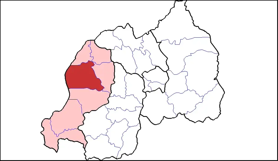
Bugarama
ℹ️Practical info — Bugarama
▾
🌤 Weather — 5 days
📍 Nearby
Sights nearby
💡 Tips
- Prepare for tropical heat; Bugarama lies much lower in elevation than most of Rwanda.
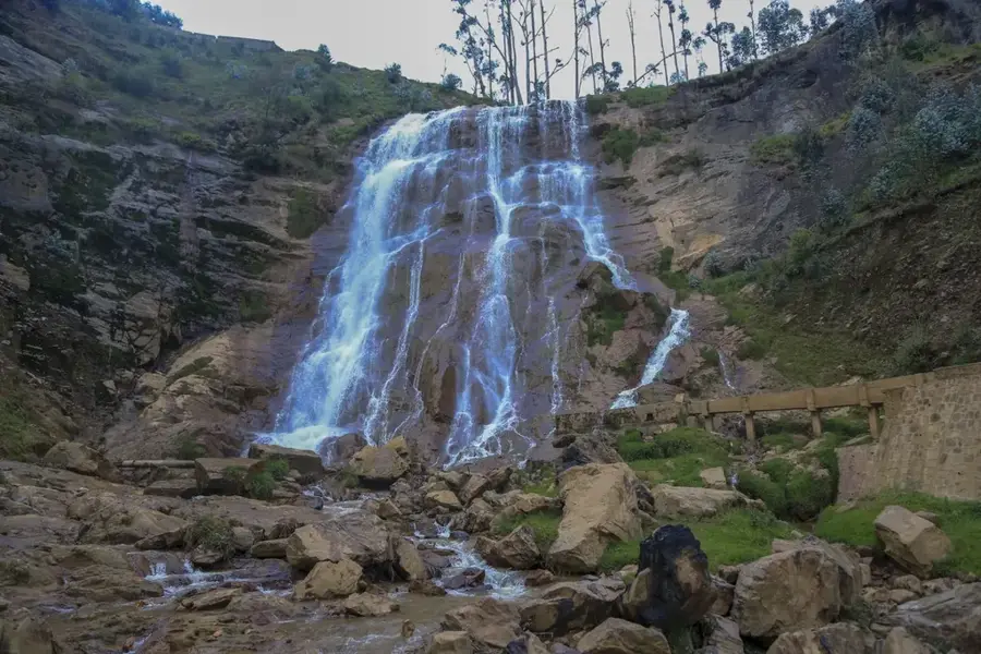
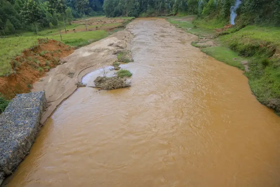
- Visit the Amashyuza hot springs, which are locally famous for their healing properties.
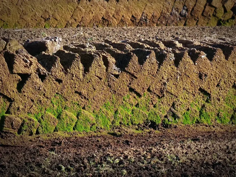
- Explore the vast rice paddies that characterize the landscape of this valley.
- Schedule your activities for the early morning to avoid the intense midday sun.
🍽 Food
Try the locally grown rice, which is widely considered the best in the country.
Due to the warm climate, mangoes and papayas here are exceptionally sweet and juicy.
Classic meat skewers served in the local village bars.
🛍 Shopping · 🧘 Quiet spots
Purchase freshly harvested rice directly from the local producers.
A great spot for fresh tropical vegetables and fruits at affordable prices.
A relaxing spot to enjoy the natural warmth of the earth.
The flat paths between the fields offer tranquility and wide-open views.
Water temperature…
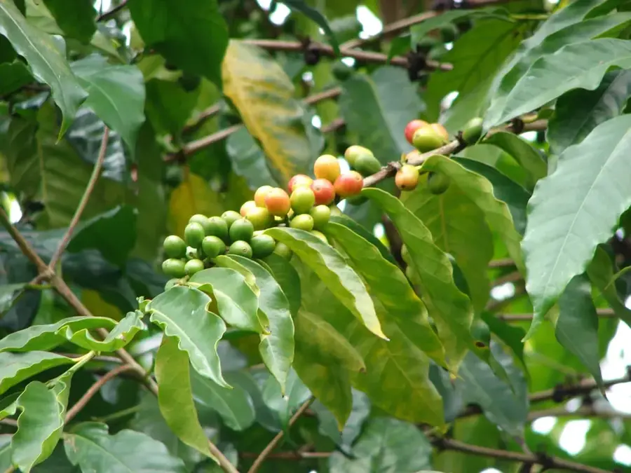
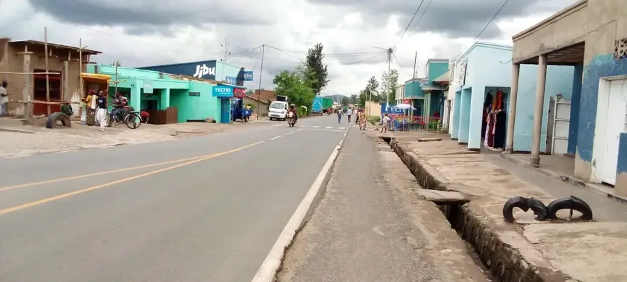
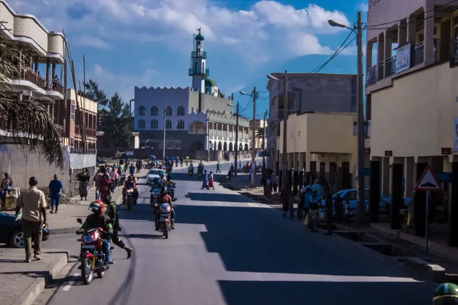
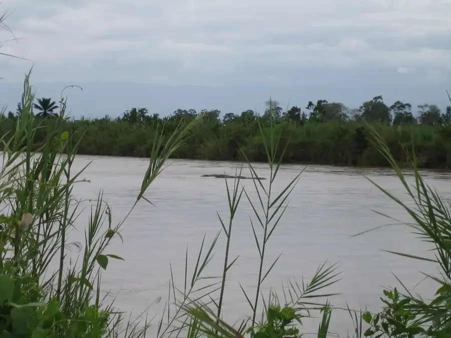
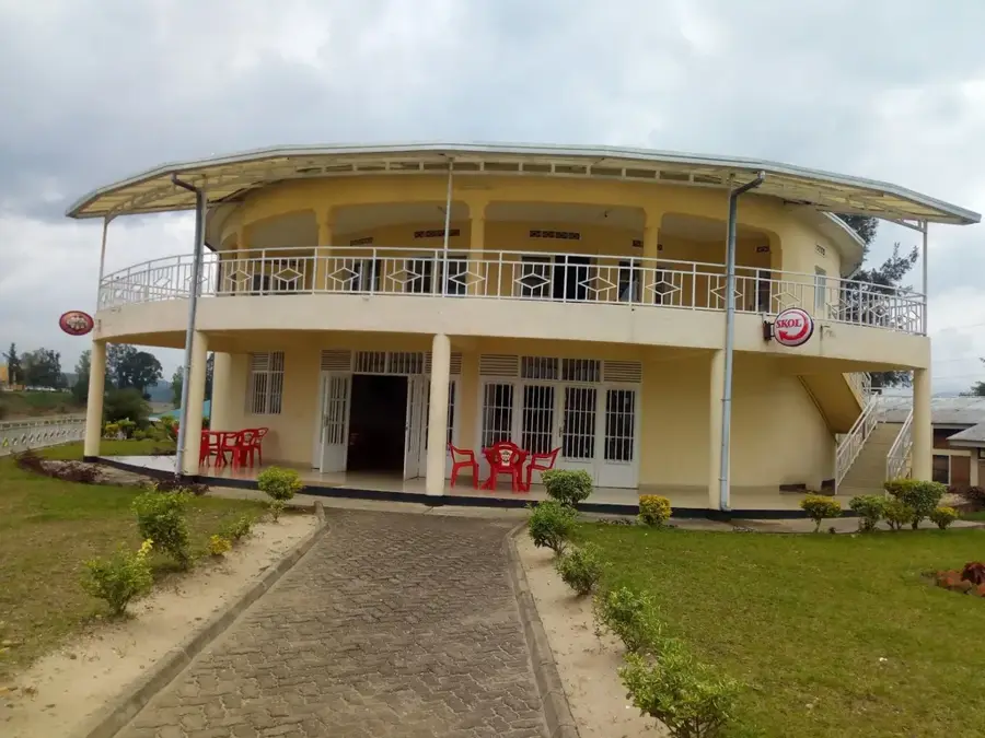
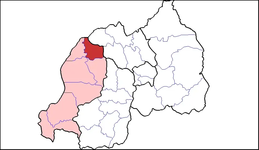
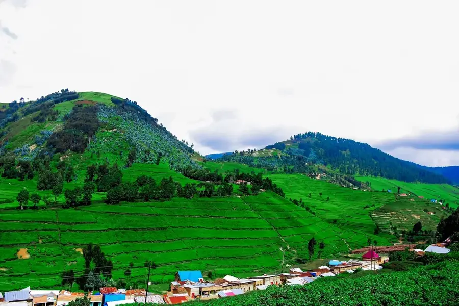
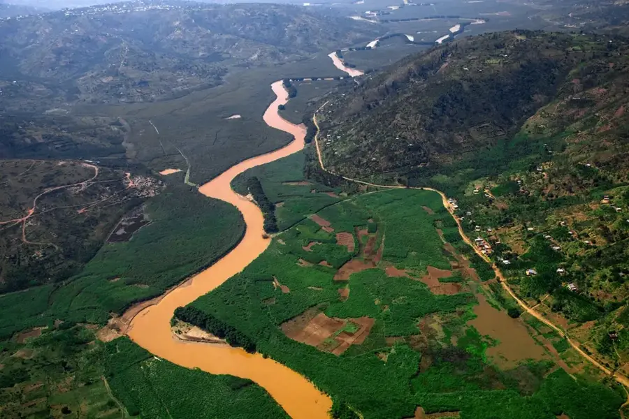
Bugarama is a town in the southwestern part of Rwanda, in the Rusizi district. It is located in the Bugarama Valley, one of the lowest and hottest regions in the country. These unique climatic conditions make the valley handy for rice cultivation, and Bugarama is the center of Rwandan rice production. Large, irrigated rice fields shape the landscape. In addition to rice, maize and other cereals are also grown. The town is an important agricultural trading place. Near Bugarama, there are also hot springs, which have some tourist potential but are not yet fully developed. The town's economy is almost entirely dependent on agriculture, and the rice cooperatives play a central role in the life of the community.
- Location: Rwanda
- Nearby: Bweyeye (23 km)
- Population: ~31.086 (2024)
Best time to visit & climate
The most pleasant time to visit is Jun–Aug.
| Jan | Feb | Mar | Apr | May | Jun | Jul | Aug | Sep | Oct | Nov | Dec | |
|---|---|---|---|---|---|---|---|---|---|---|---|---|
| Avg °C | 18 | 19 | 19 | 18 | 18 | 17 | 17 | 18 | 19 | 19 | 18 | 18 |
| Rain mm | 159 | 141 | 197 | 181 | 112 | 52 | 31 | 73 | 127 | 188 | 265 | 180 |
Geography
Facts
- Center of Rwandan rice production.
- One of the lowest and hottest regions of Rwanda.
- Landscape shaped by large, irrigated rice fields.
- There are hot springs nearby.
- Important agricultural trading place.
- Economically heavily dependent on agriculture.
Explore nearby
Notable places around
Route planner — Car & Motorhome
Where do you start? We build the route here, with stops and country notes along the way.
© OpenStreetMap contributors · OpenRouteService
Frequently asked questions
Where is Bugarama located?
What is this region known for?
What is the climate like in Bugarama?
Is it worth visiting the hot springs?
Is Bugarama accessible to tourists?
Bugarama: where is it located?
Bugarama: when is the best time to visit?
Bugarama: why is it worth visiting?

Nearby cities
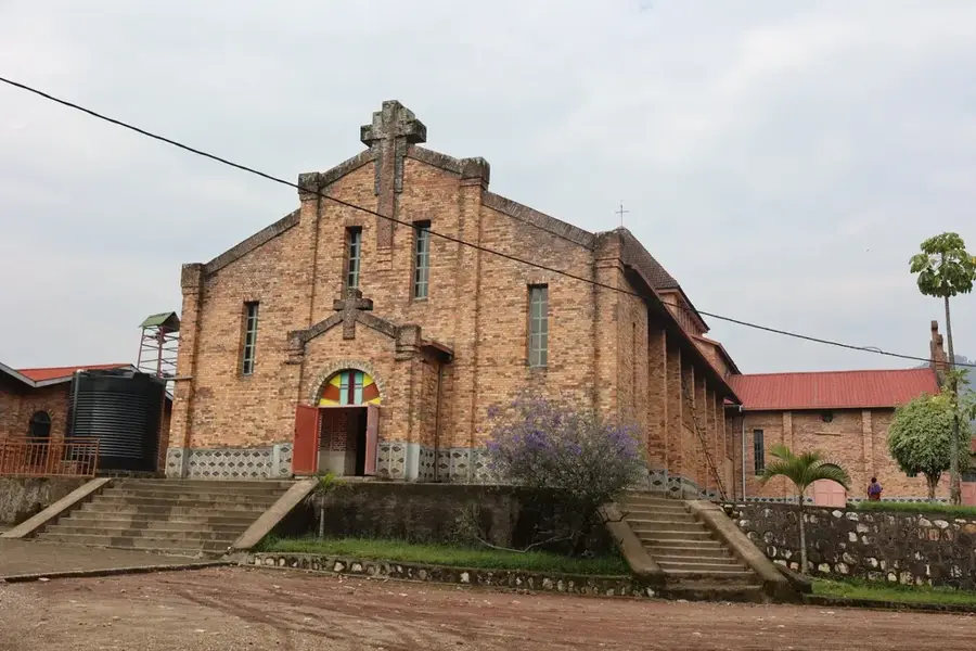

History & landmarks

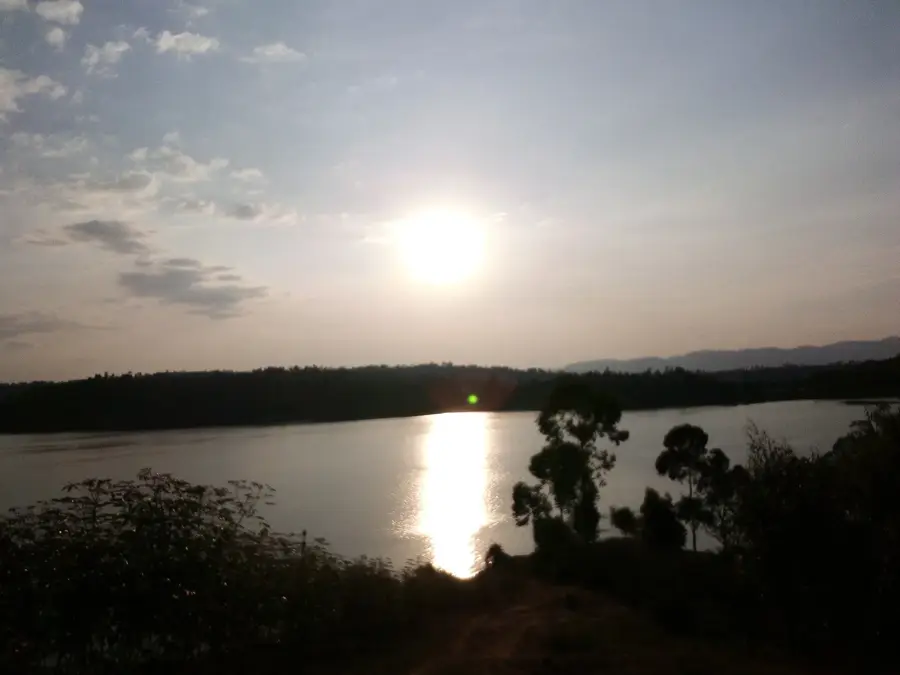
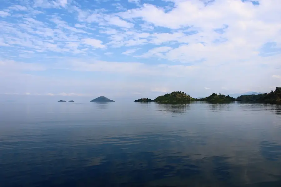
Nature
More places