Plizio Visual Lab
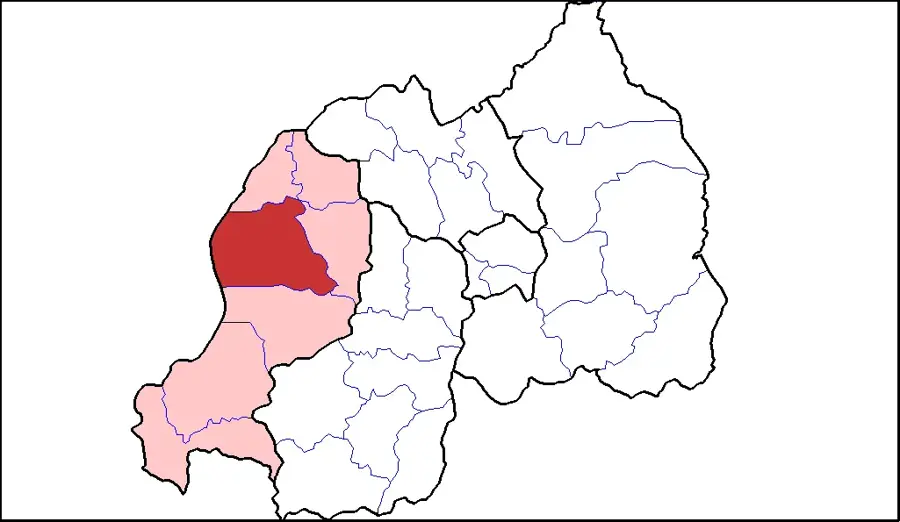
Ngororero
ℹ️Practical info — Ngororero
▾
🌤 Weather — 5 days
📍 Nearby
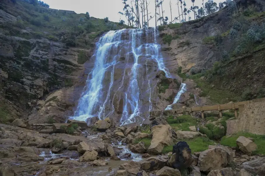
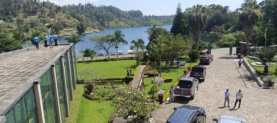
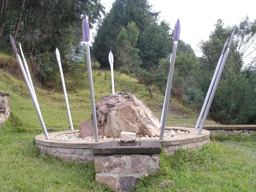
Sights nearby
💡 Tips
- The drive from Muhanga to Ngororero is one of the most spectacular in Rwanda, featuring steep mountain passes.
- Ngororero is a mining hub; observe the impressive industrial landscape of the Gatumba district from the surrounding ridges.
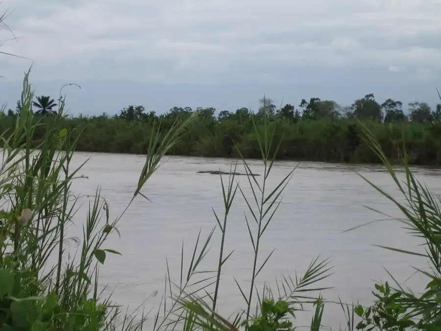
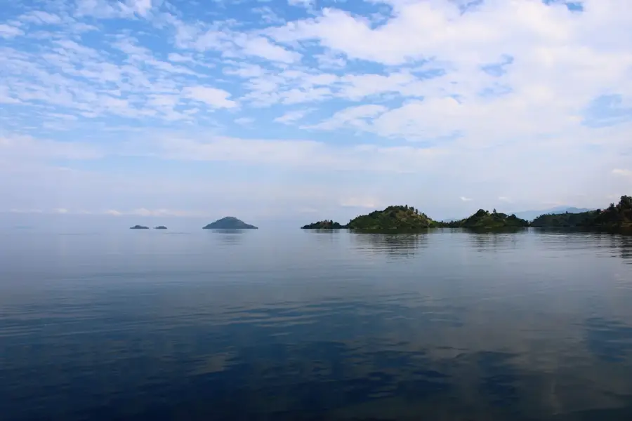
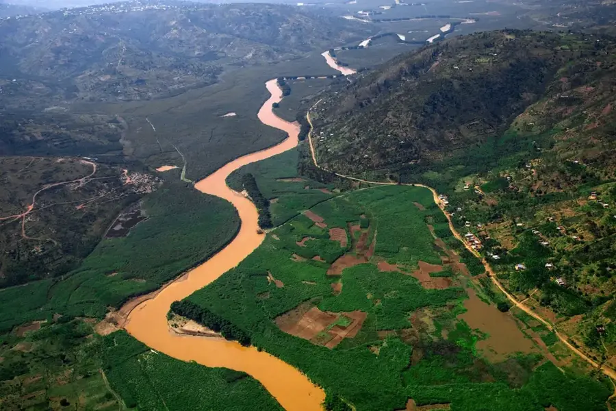
- Visit the Masangano Eco-Park to see where the Nyabarongo and Mukungwa rivers meet in a tranquil setting.
- Use moto-taxis for the steep climbs within town, but opt for a 4x4 vehicle for long mountain drives.
🍽 Food
The district is famous for its high-quality beans, often served as a creamy stew in local eateries.
Traditionally fermented thick milk, which is a staple in this rural mountain region and very refreshing.
In local 'restos', you will get a mix of what was harvested fresh that morning: beans, potatoes, and greens.
🛍 Shopping · 🧘 Quiet spots
A wholesale hub for beans and fresh pineapples; well-suited for buying quality agricultural produce cheaply.
In the villages around Ngororero, you can often find traditional clayware sold directly by the potters.
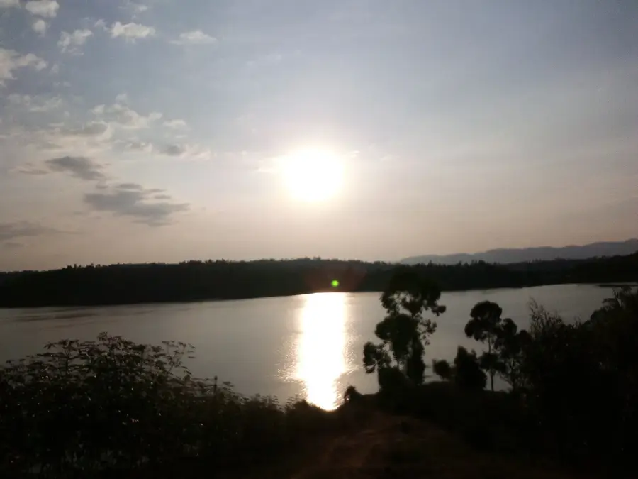
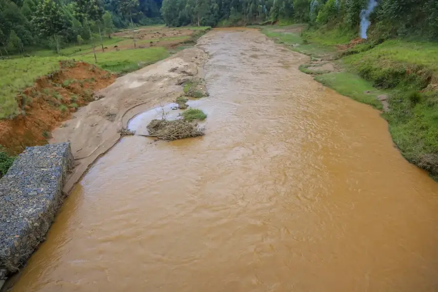
A tranquil riverside spot great for birdwatching and watching the powerful current of the Nyabarongo river.
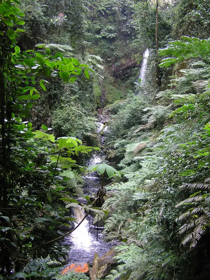
The less-visited part of the national park has silent paths through pristine mountain rainforest.
Water temperature…
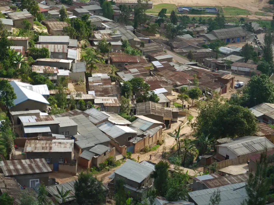
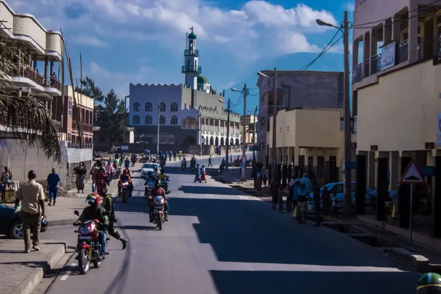
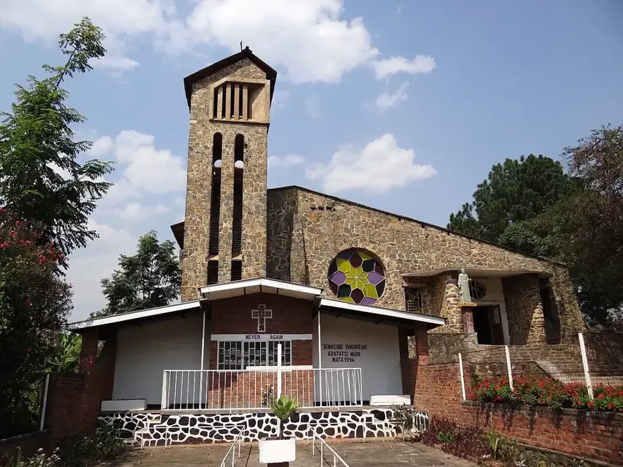
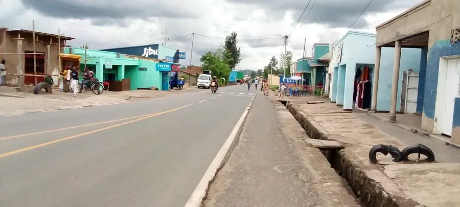
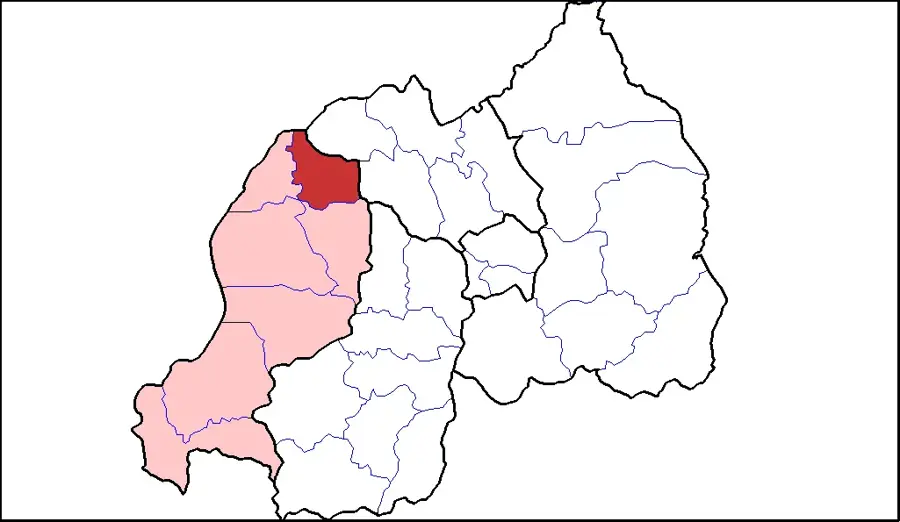
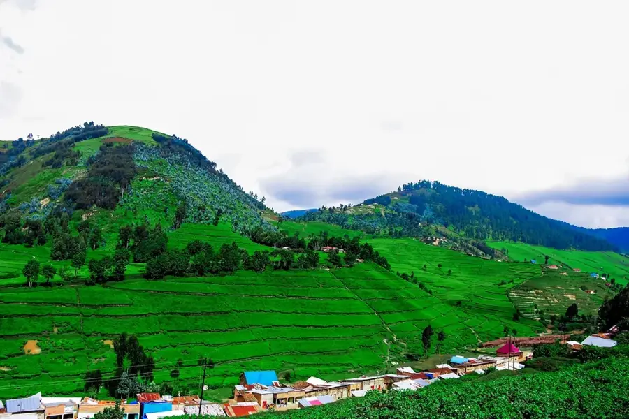
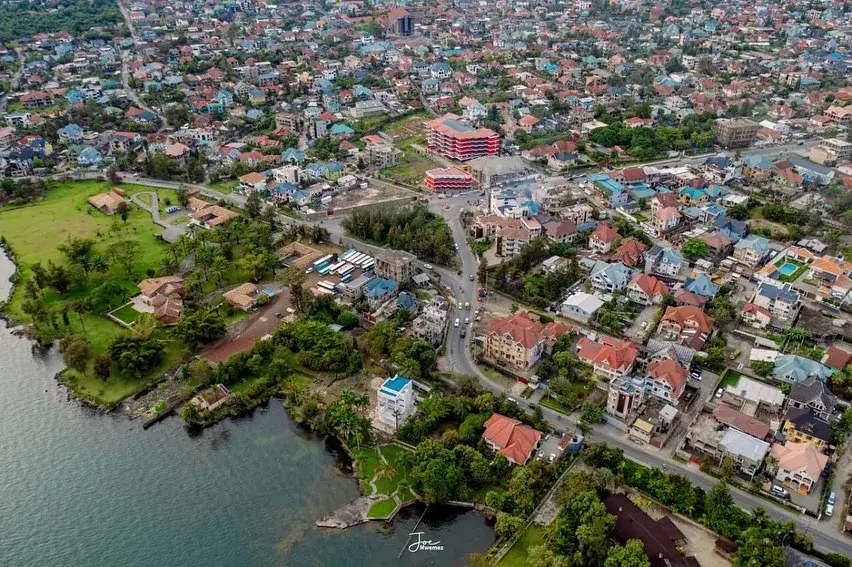
Ngororero is a town and the capital of the district of the same name in the Western Province of Rwanda. The region is very mountainous and crisscrossed by deep valleys, which makes agriculture and transport difficult. Ngororero is known for its mineral deposits, especially coltan, cassiterite, and tungsten, which are often mined on a small, artisanal scale. Agriculture focuses on the cultivation of bananas, beans, and sweet potatoes. The town of Ngororero is slowly developing into a local commercial center, but infrastructure remains a challenge. The region has a rich cultural history and is known for its traditional dances and music. The government is investing in improving roads and other infrastructure to unlock the region's economic potential.
- Location: Rwanda
- Nearby: Nyabihu (22 km)
- Population: ~38.823 (2026)
Best time to visit & climate
The most pleasant time to visit is Jun–Aug.
| Jan | Feb | Mar | Apr | May | Jun | Jul | Aug | Sep | Oct | Nov | Dec | |
|---|---|---|---|---|---|---|---|---|---|---|---|---|
| Avg °C | 20 | 21 | 21 | 20 | 19 | 19 | 19 | 20 | 21 | 20 | 20 | 20 |
| Rain mm | 126 | 133 | 191 | 191 | 141 | 61 | 38 | 80 | 118 | 164 | 196 | 149 |
Geography
Facts
- Known for deposits of coltan and cassiterite.
- Very mountainous and rugged landscape.
- Artisanal mining is an important economic sector.
- Infrastructure is a major challenge.
- Administrative center of Ngororero district.
- Agriculture is dominated by small-scale farmers.
Explore nearby
Notable places around
Route planner — Car & Motorhome
Where do you start? We build the route here, with stops and country notes along the way.
© OpenStreetMap contributors · OpenRouteService
Frequently asked questions
What is Ngororero known for?
Is hiking good here?
Is it developed for tourism?
What is the best season?
Are there markets there?
Ngororero: where is it located?
Ngororero: when is the best time to visit?
Ngororero: why is it worth visiting?

Nearby cities
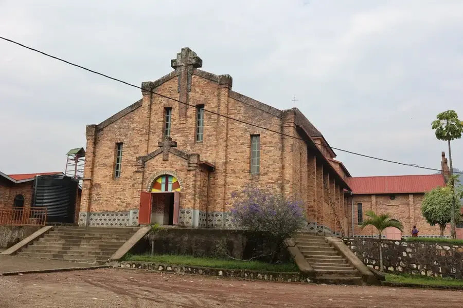

History & landmarks

Nature
More places