Plizio Visual Lab
Rugombo

ℹ️Practical info — Rugombo
▾
🌤 Weather — 5 days
📍 Nearby
Sights nearby
💡 Tips
- The main road is a major artery for DRC border traffic; watch out for heavy trucks.
- Shared taxis towards Bujumbura or the border gather along the main highway.
- It gets quite dusty during the dry season, so keep your belongings covered.
- Change currencies in official spots or larger towns if heading to the border, as local rates vary.
🍽 Food
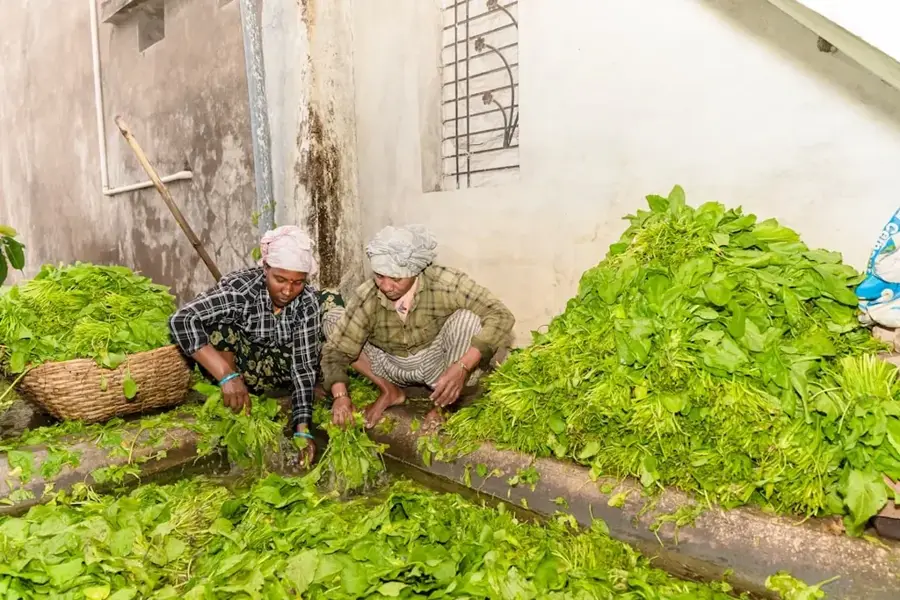
Cassava leaf stew, a regional staple served with ubugari (cassava dough) at local diners.
A quick, smoky snack sold by street vendors along the transit routes.
Sweet, small bananas first-rate for a quick energy boost while traveling.
🛍 Shopping · 🧘 Quiet spots
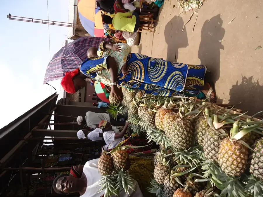
Sold in massive bunches along the road, central to the local agricultural trade.
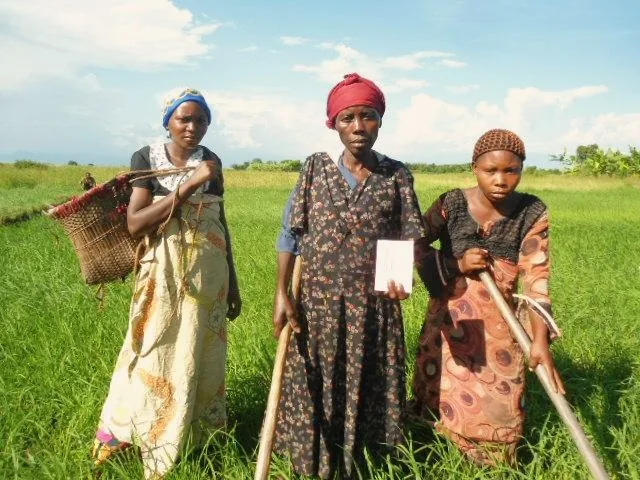
Traditional handmade baskets can sometimes be found in the general market.
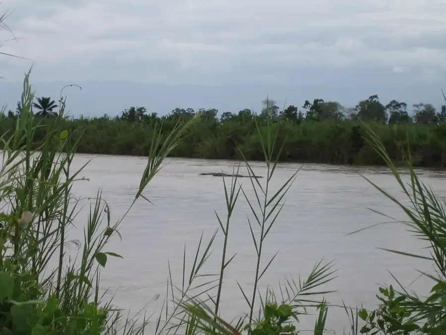
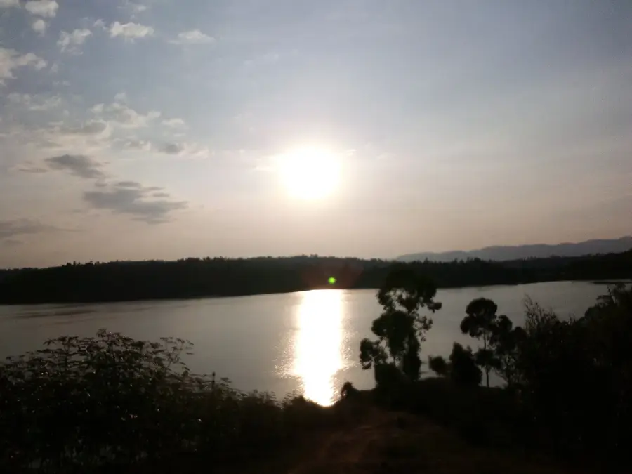
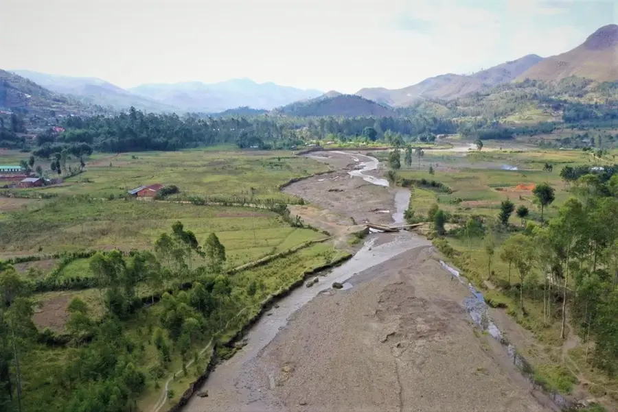
The river forming the border is nearby, offering a calmer atmosphere away from the highway.
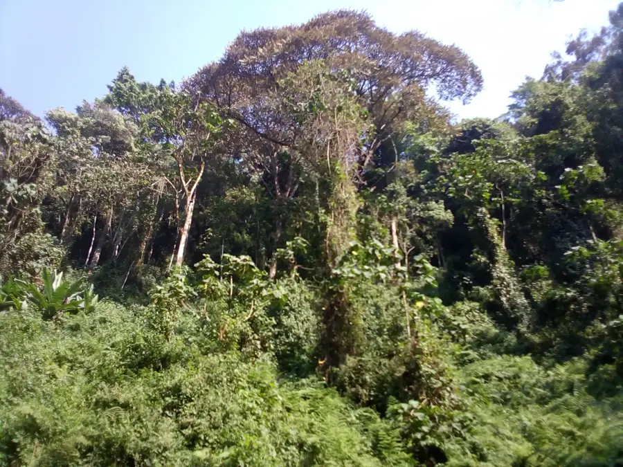
The outskirts are dominated by quiet farming plots and banana plantations.
Water temperature…
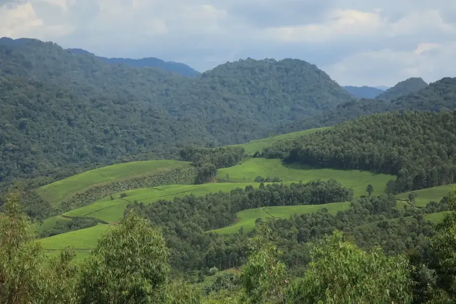
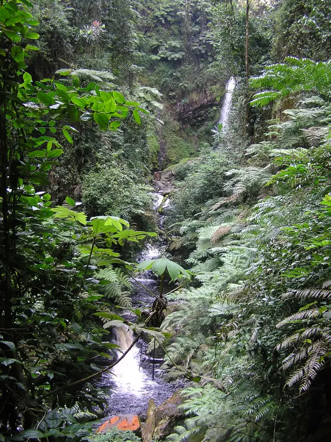
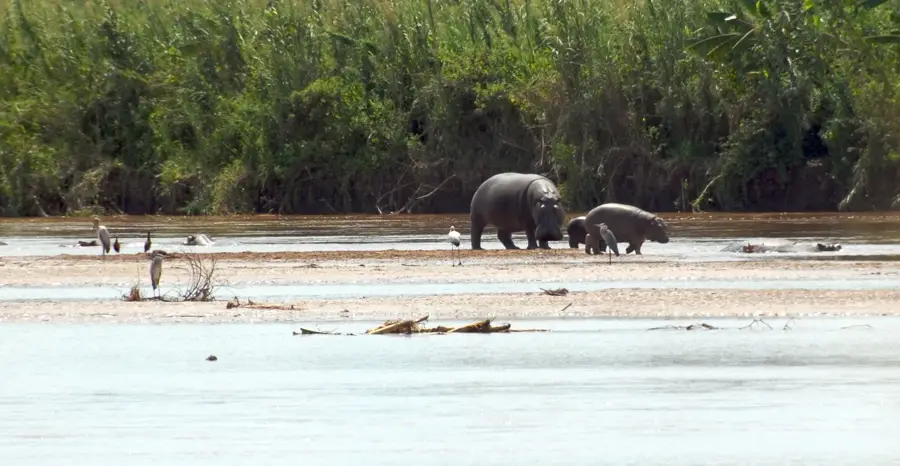
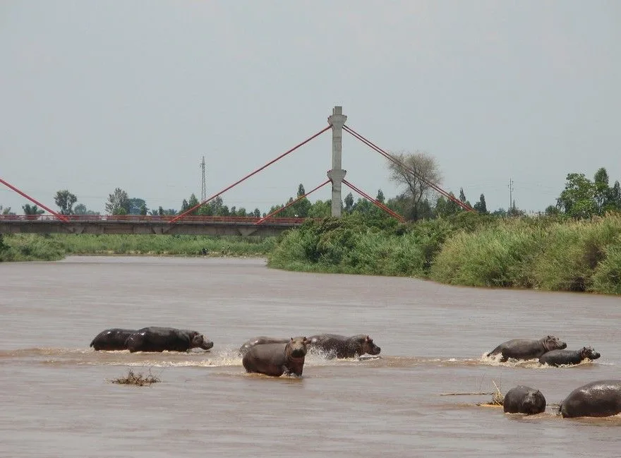
Rugombo is a bustling commune in the Cibitoke Province of northwestern Burundi, located at the tri-border area shared with Rwanda and the Democratic Republic of the Congo. The town is situated in the fertile Imbo Plain, which serves as a vital agricultural breadbasket for Burundi, particularly known for its large-scale production of rice, tomatoes, and onions. Due to its strategic border location, Rugombo functions as a lively commercial hub where cross-border trade is a cornerstone of the local economy. It is positioned along the RN5 national highway, which facilitates efficient transportation of agricultural goods to the markets of Bujumbura. Historically, its proximity to international borders has made it a sensitive area during regional conflicts, yet it has emerged as a symbol of economic recovery and growth. Rugombo is home to several schools and health clinics that serve its rapidly expanding population. The nearby Rusizi National Park provides ecological significance, protecting the unique flora and fauna of the riverine environment.
- Location: Burundi
- Nearby: Cibitoke (6 km)
Best time to visit & climate
The most pleasant time to visit is Jun–Aug.
| Jan | Feb | Mar | Apr | May | Jun | Jul | Aug | Sep | Oct | Nov | Dec | |
|---|---|---|---|---|---|---|---|---|---|---|---|---|
| Avg °C | 17 | 17 | 17 | 17 | 16 | 15 | 15 | 16 | 17 | 17 | 17 | 17 |
| Rain mm | 180 | 157 | 221 | 213 | 107 | 43 | 24 | 61 | 127 | 207 | 352 | 210 |
Geography
Facts
- Located at the tri-border point of Burundi, Rwanda, and DRC.
- Major rice-growing center in the fertile Imbo Plain.
- Strategic commercial point on the RN5 national highway.
- Hub for cross-border trade and agricultural exchange.
- Home to several essential regional health facilities.
- Proximity to the ecologically diverse Rusizi National Park.
Explore nearby
Notable places around
Route planner — Car & Motorhome
Where do you start? We build the route here, with stops and country notes along the way.
© OpenStreetMap contributors · OpenRouteService
Frequently asked questions
What is Rugombo?
What is produced in Rugombo?
Is it close to the border?
What does the landscape look like?
Is Rugombo interesting for tourists?
Rugombo: where is it located?
Rugombo: when is the best time to visit?
Rugombo: why is it worth visiting?

Nearby cities


History & landmarks

Nature

More places