Plizio Visual Lab
Ucayali River
Weather…
Water temperature…
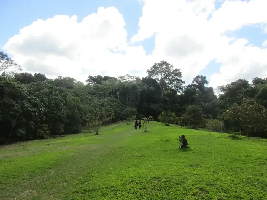
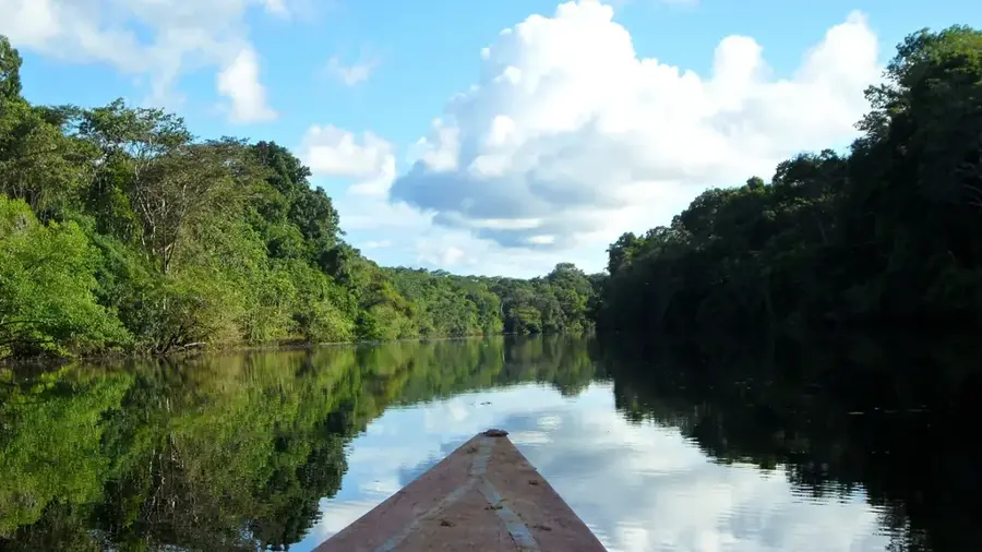
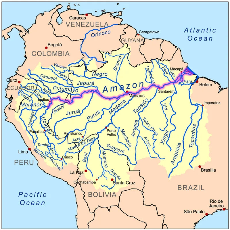
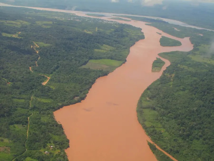
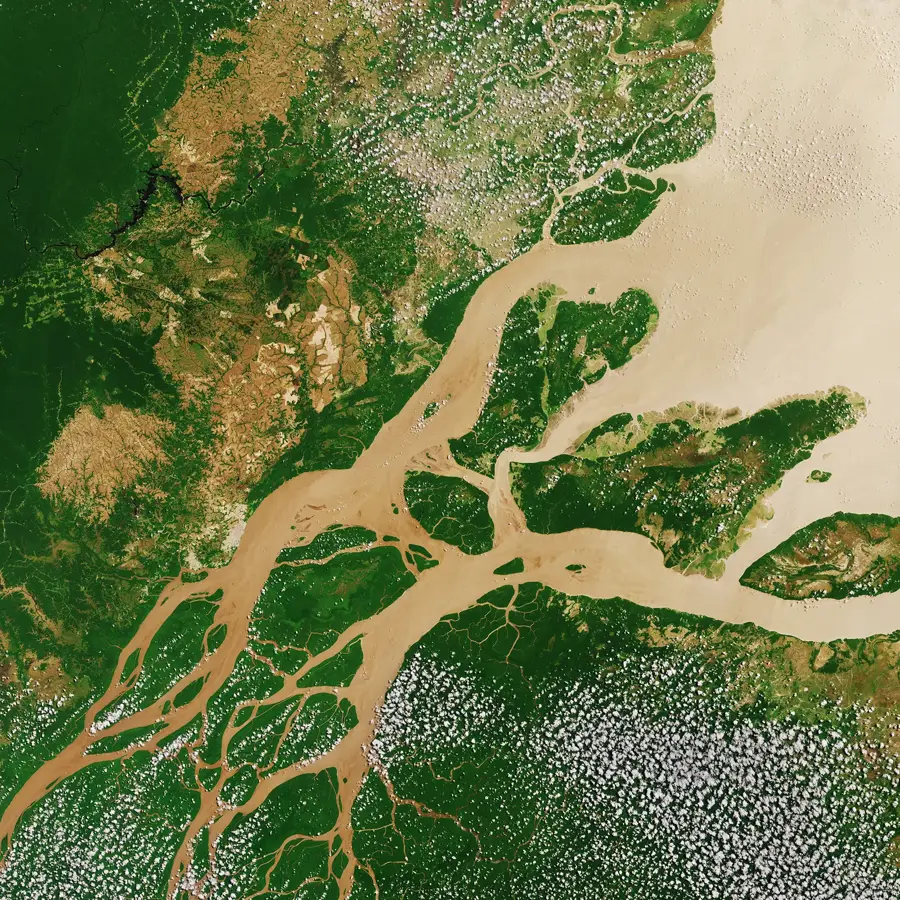
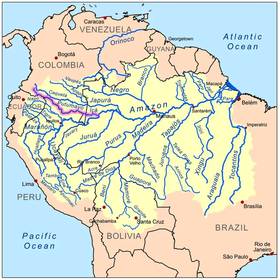
The Ucayali River is one of Peru's most vital waterways, formed by the confluence of the Tambo and Urubamba rivers at the base of the Andes. It is one of the primary headwaters of the Amazon, winding through the vast lowland rainforest in an extremely meandering course. The river is geologically active, constantly shifting its bed and creating new oxbow lakes, known locally as 'cochas,' in the soft alluvial soil. For eastern Peru, the Ucayali is a crucial transportation artery, linking remote rainforest communities to the city of Pucallpa, the most important river port with road access to Lima. Its 'white' waters are rich in nutrients and sediments, which sustain the fertility of the surrounding floodplain forests and support a massive diversity of fish species. During the rainy season, the river expands significantly, flooding large areas and driving the ecological cycles of the western Amazon. Many hydrologists regard the Ucayali as the true hydrographic source of the Amazon when traced back to the distant headwaters of the Apurímac River.
- Location: Peru
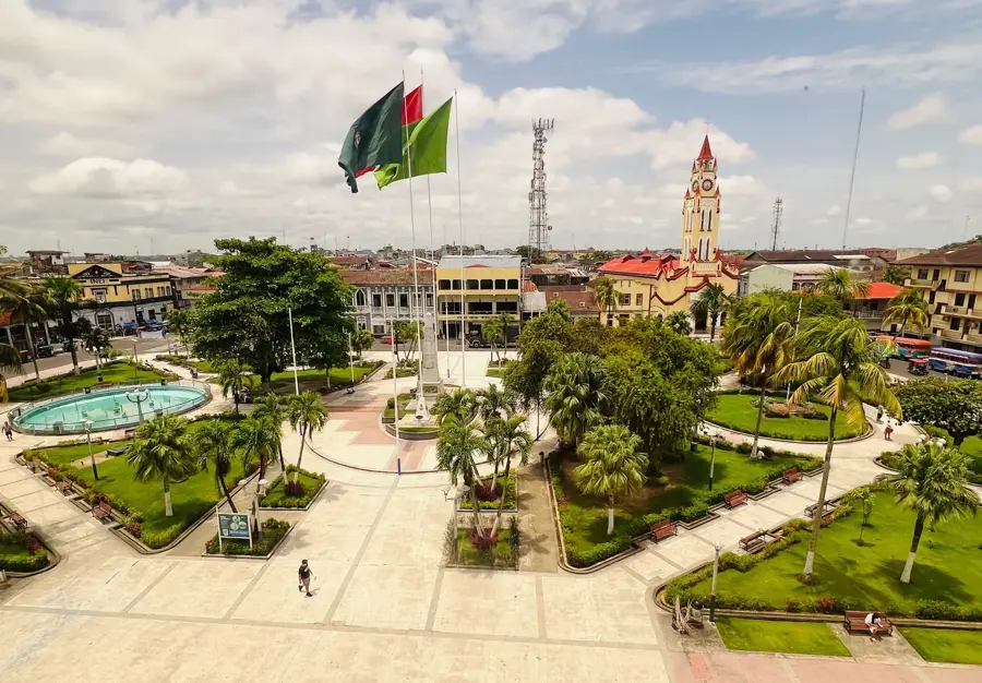
- Top sights: Teatro Ucamara · Capilla Señore de los Milagros · Mercado de Pescadores
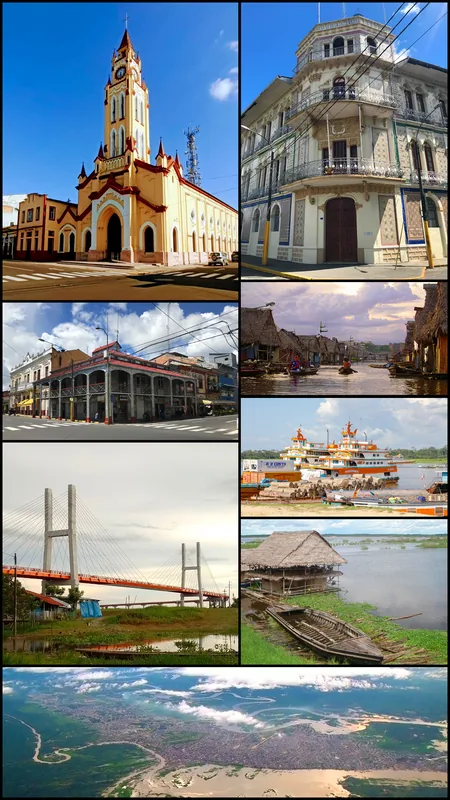
- Nearby: Iquitos (36 km)
Best time to visit & climate
The most pleasant time to visit is Jul–Sep.
| Jan | Feb | Mar | Apr | May | Jun | Jul | Aug | Sep | Oct | Nov | Dec | |
|---|---|---|---|---|---|---|---|---|---|---|---|---|
| Avg °C | 26 | 26 | 26 | 26 | 25 | 25 | 25 | 25 | 26 | 26 | 26 | 26 |
| Rain mm | 267 | 237 | 327 | 286 | 230 | 184 | 146 | 135 | 164 | 242 | 245 | 255 |
📋 Practical info
Geography
Facts
- The Ucayali stretches for approximately 1,460 kilometers (907 miles).
- It is the main river that flows through the Ucayali and Loreto regions.
- The river is home to the world's largest lily pads, the Victoria amazonica.
- The Ucayali-Apurímac system is often cited as the longest path in the Amazon basin.
- Commercial boat trips from Pucallpa to Iquitos can take 4 to 6 days.
- The river basin is a major producer of camu camu, a high-vitamin C fruit.
Explore nearby
Notable places around
Route planner — Car & Motorhome
Where do you start? We build the route here, with stops and country notes along the way.
© OpenStreetMap contributors · OpenRouteService
Sights in the town Ucayali River (4)
Sights nearby
Frequently asked questions
How do you reach the Río Ucayali?
What makes the river so ecologically valuable?
Can you fish on the river?
What is the weather forecast like in the Amazon basin?
Are there malaria risks there?
Ucayali River: where is it located?
Ucayali River: what is there to see?
Ucayali River: when is the best time to visit?
Ucayali River: why is it worth visiting?

Nearby cities
Nature

More places