Plizio Visual Lab
Putumayo River
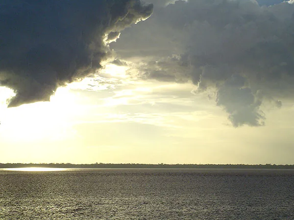
Weather…
Water temperature…
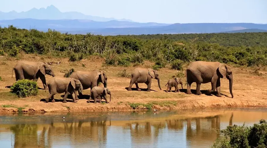
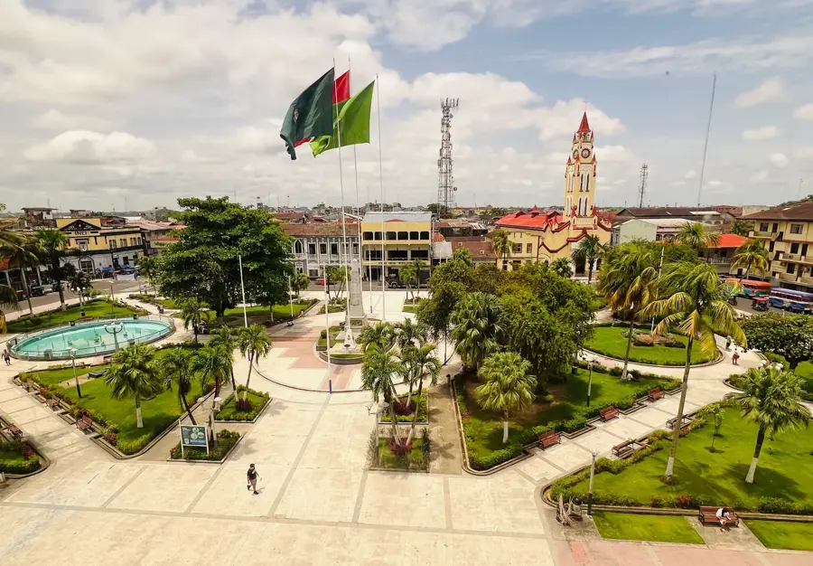
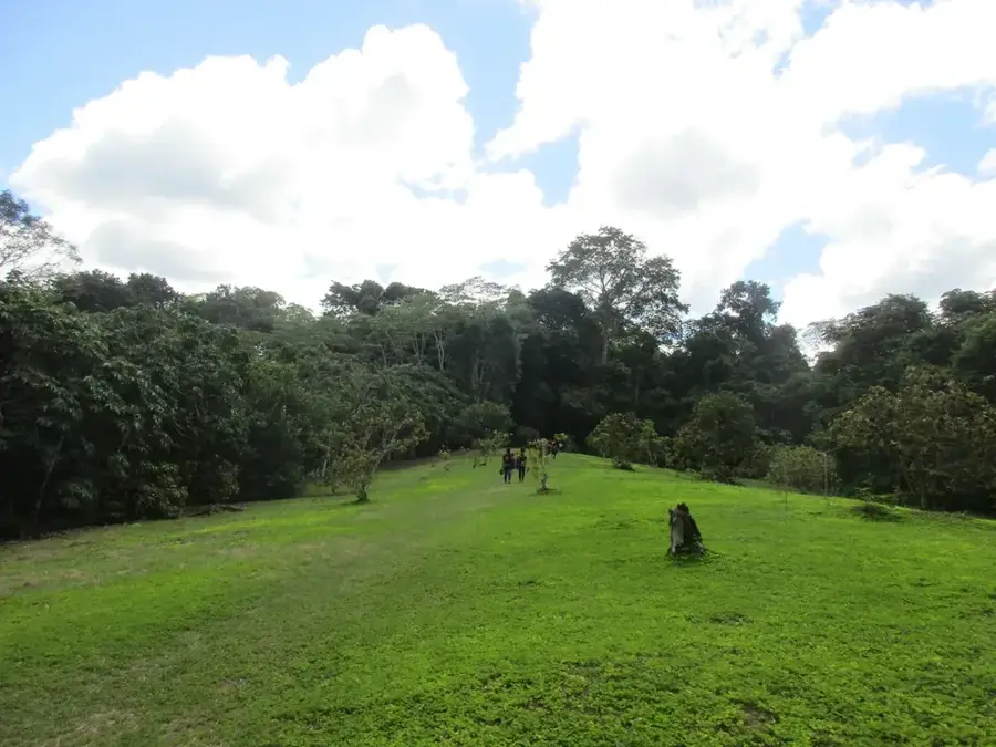
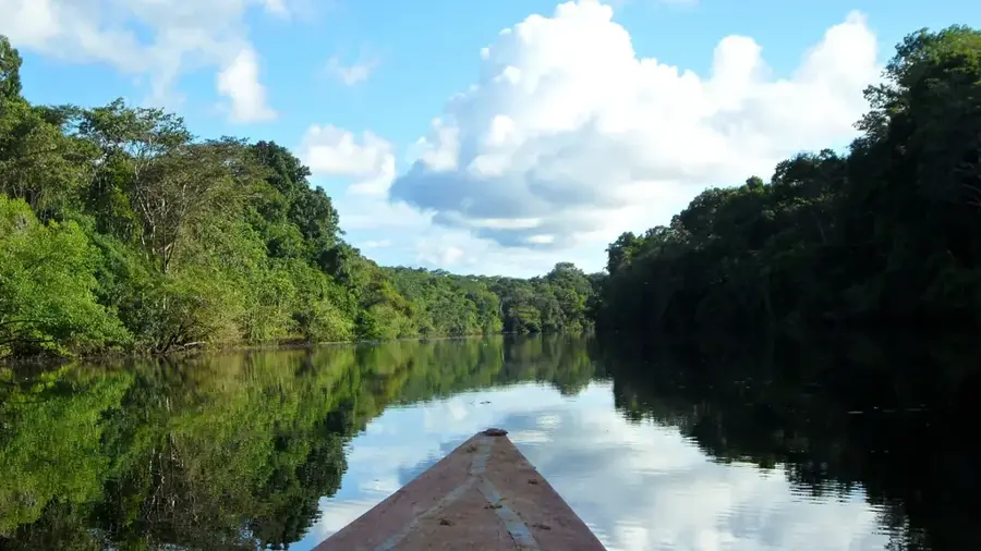
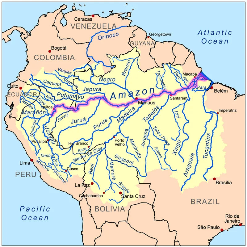
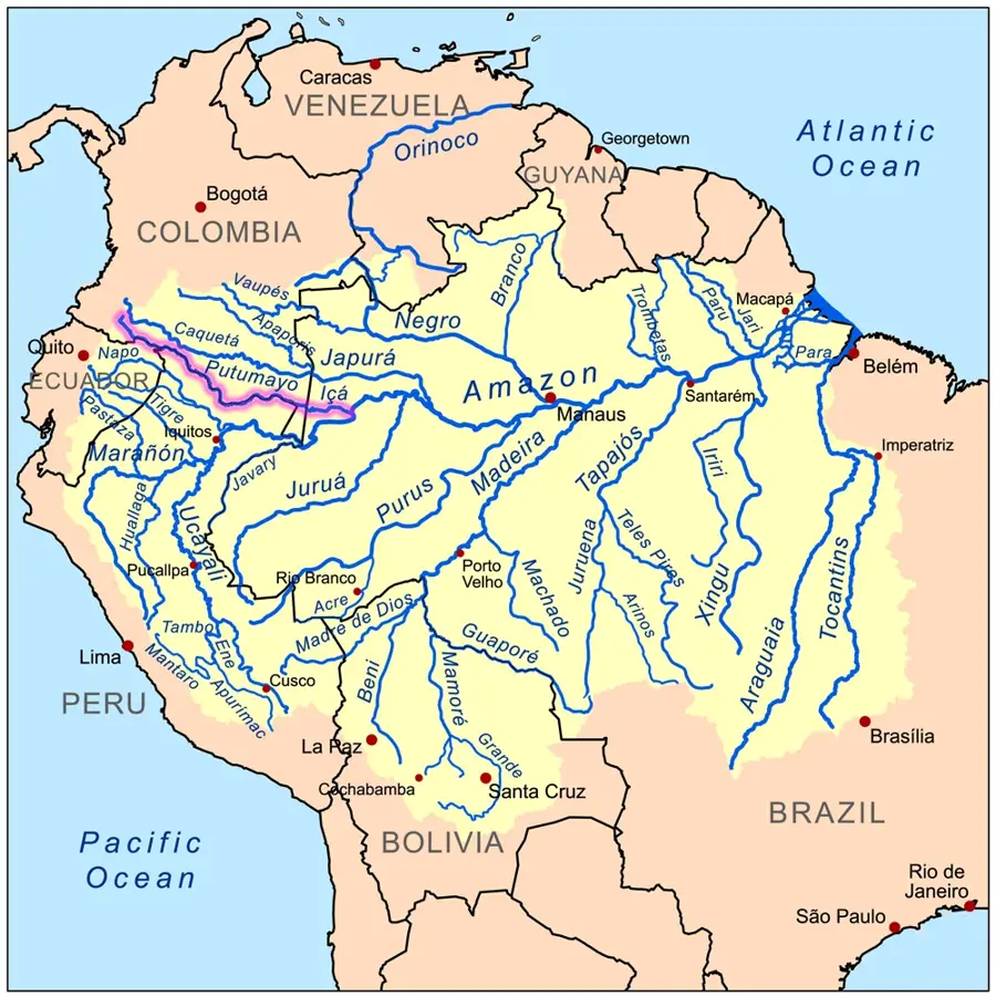
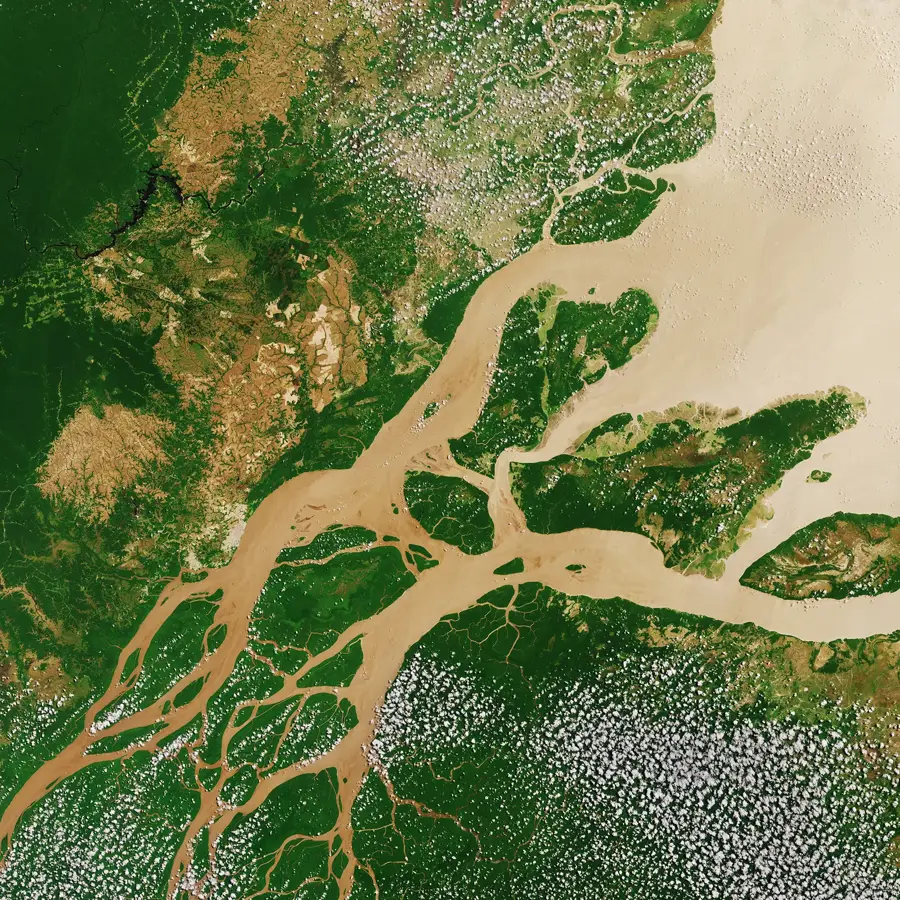
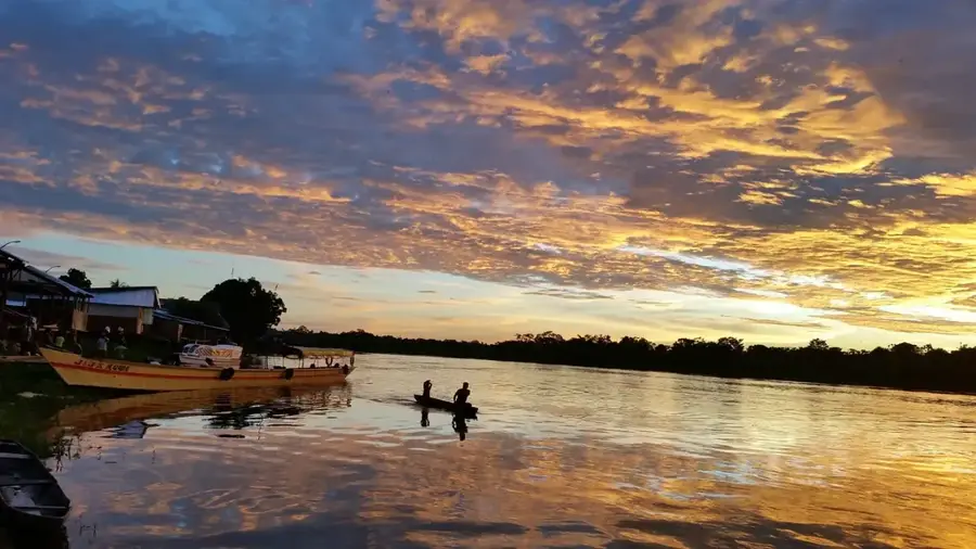
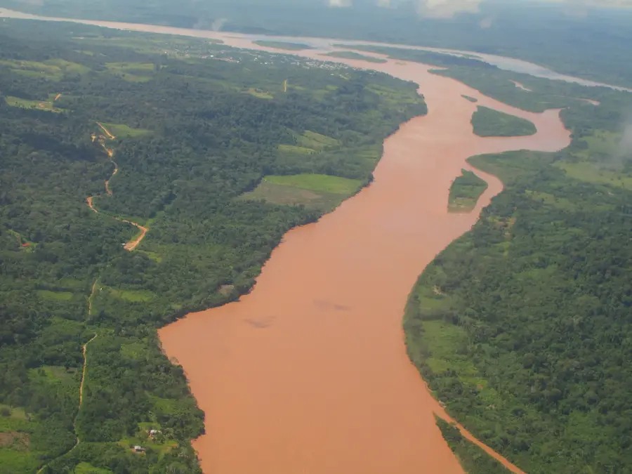
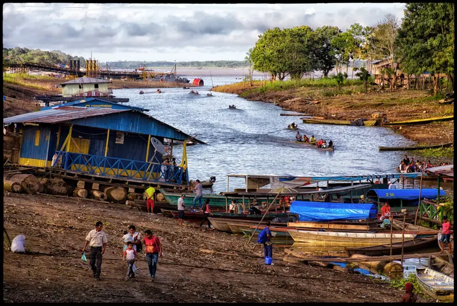
The Putumayo River is a major left-bank tributary of the Amazon River, forming a significant portion of the natural border between Peru and Colombia, as well as between Colombia and Ecuador. It originates in the Colombian Andes and flows for approximately 1,610 kilometers in a southeasterly direction through the dense Amazon rainforest. In Peru, the river passes through the Loreto Region and serves as a vital transportation artery for the remote indigenous communities living along its banks. Historically, the river is closely linked to the rubber boom of the early 20th century, which often had devastating impacts on the local population. The Putumayo region is biologically hyper-diverse, hosting numerous endangered species such as the Amazon river dolphin and the giant otter. The river is navigable for almost its entire length, making it an essential commercial route for agricultural products and timber. The climate is tropical rainforest, characterized by high temperatures and significant rainfall throughout the year. Despite its importance, the region remains one of the most isolated zones in Peru due to the absence of road connections.
Best time to visit & climate
The most pleasant time to visit is Jul–Sep.
| Jan | Feb | Mar | Apr | May | Jun | Jul | Aug | Sep | Oct | Nov | Dec | |
|---|---|---|---|---|---|---|---|---|---|---|---|---|
| Avg °C | 26 | 26 | 26 | 26 | 25 | 25 | 25 | 26 | 26 | 26 | 26 | 26 |
| Rain mm | 293 | 254 | 281 | 255 | 221 | 171 | 152 | 124 | 148 | 214 | 213 | 273 |
📋 Practical info
Geography
Facts
- The total length of the Putumayo River is approximately 1,610 kilometers.
- Within Brazilian territory, the river is known as the Içá River.
- The river forms the border between Peru and Colombia for over 1,000 km.
- It is navigable for shallow-draft vessels along nearly its entire course.
- The surrounding region is home to more than 400 species of birds.
- The primary Peruvian settlement along the river is El Estrecho.
Explore nearby
Notable places around
Route planner — Car & Motorhome
Where do you start? We build the route here, with stops and country notes along the way.
© OpenStreetMap contributors · OpenRouteService
Sights nearby
Frequently asked questions
Where is the Río Putumayo?
Is this river developed for tourism?
What type of trips can be found here?
What is the biggest danger for travelers?
Do you need special permits?
Putumayo River: where is it located?
Putumayo River: when is the best time to visit?
Putumayo River: why is it worth visiting?

Nearby cities
Nature
More places